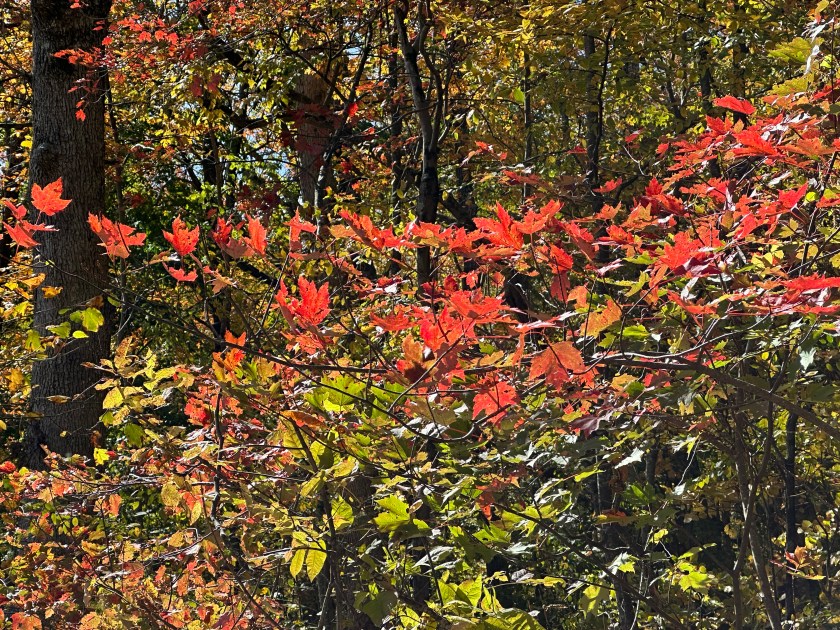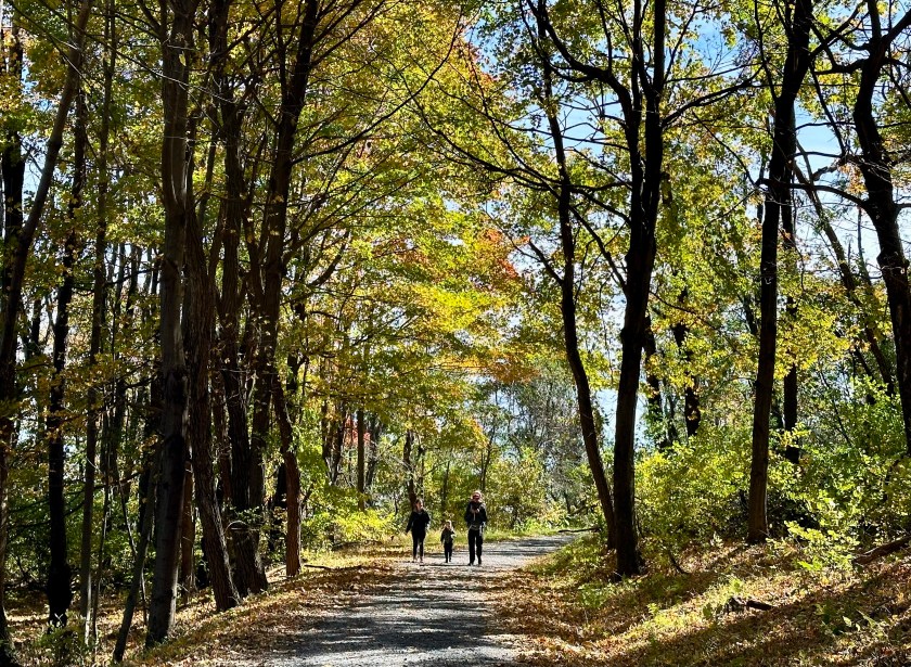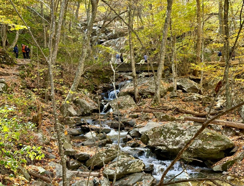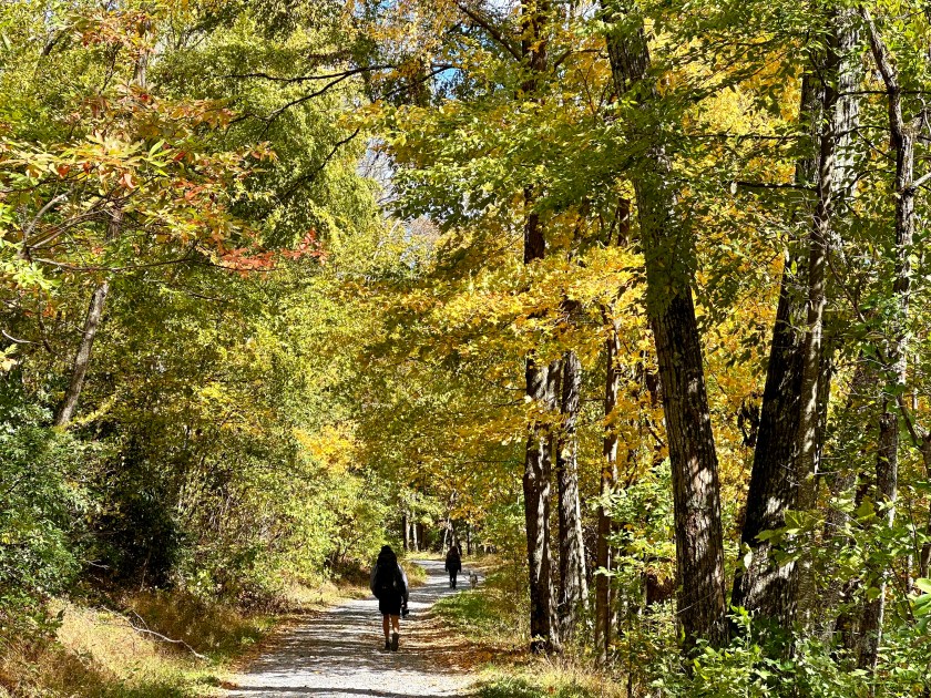
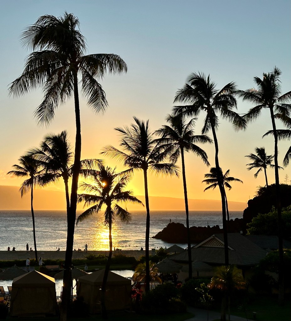
Hawaii – Days 5 & 6

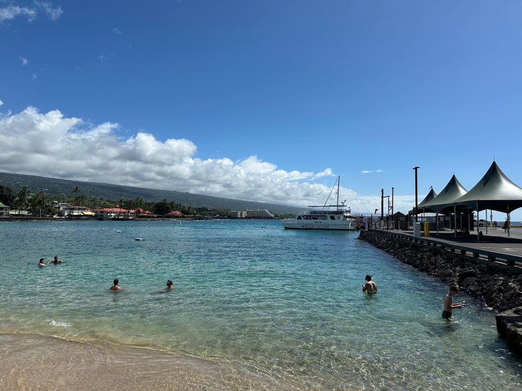
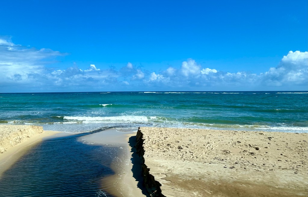
Kehena Bland Sand Beach, Kona. Photo by Bruce Stambaugh

Our fifth day in Hawaii was filled with many wonders and one big downer. My wife woke up not feeling well. She encouraged me to go on the scheduled excursion to explore much of the Big Island. I did so, but reluctantly.

Our day trip had multiple stops, and the local bus driver added some of his favorites, making the exploration day a success. Our first stop wasn’t far from the hotel.

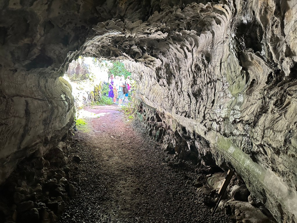
It was a tourist stop, but our guide wanted us to experience a geologic phenomenon. We explored a lava tube formed by molten lava flowing from a volcanic vent through existing lava rock that had solidified years before. Once the lava flowed out, only the outer shell of the flowing lava remained, leaving the tube-like feature. It was the first of several intriguing stops.

The lava tube. Photo by Bruce Stambaugh

We drove south high above the ocean to our west. Lucious vegetation captured our attention as the bus maneuvered the two-lane highway on it wound its way up, down, and around the parameters of the island.

The island’s official name is Hawaii, and it is located in the county of Hawaii in the state of Hawaii. Consequently, the locals prefer Kona to avoid confusion, and I concur.

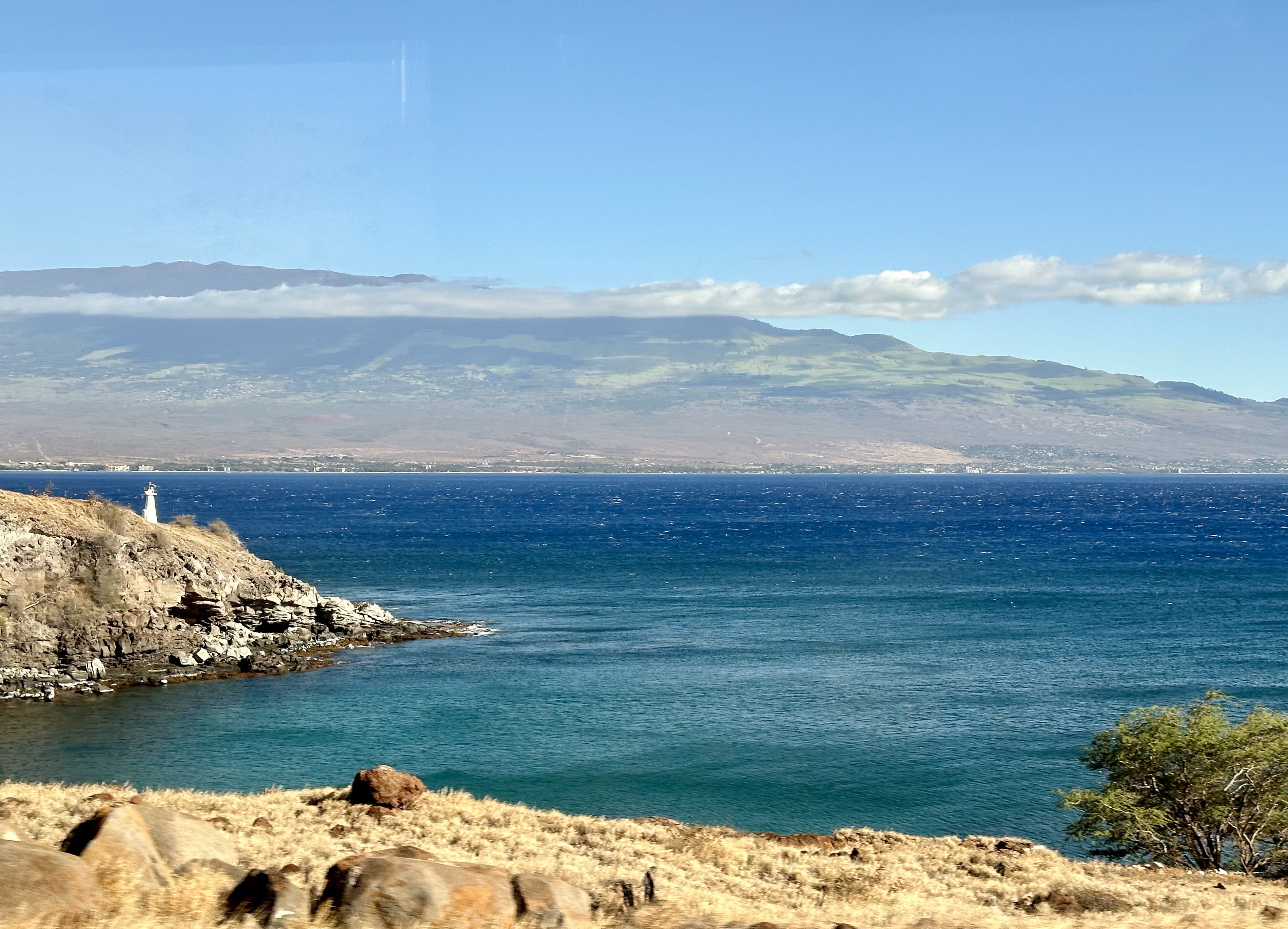
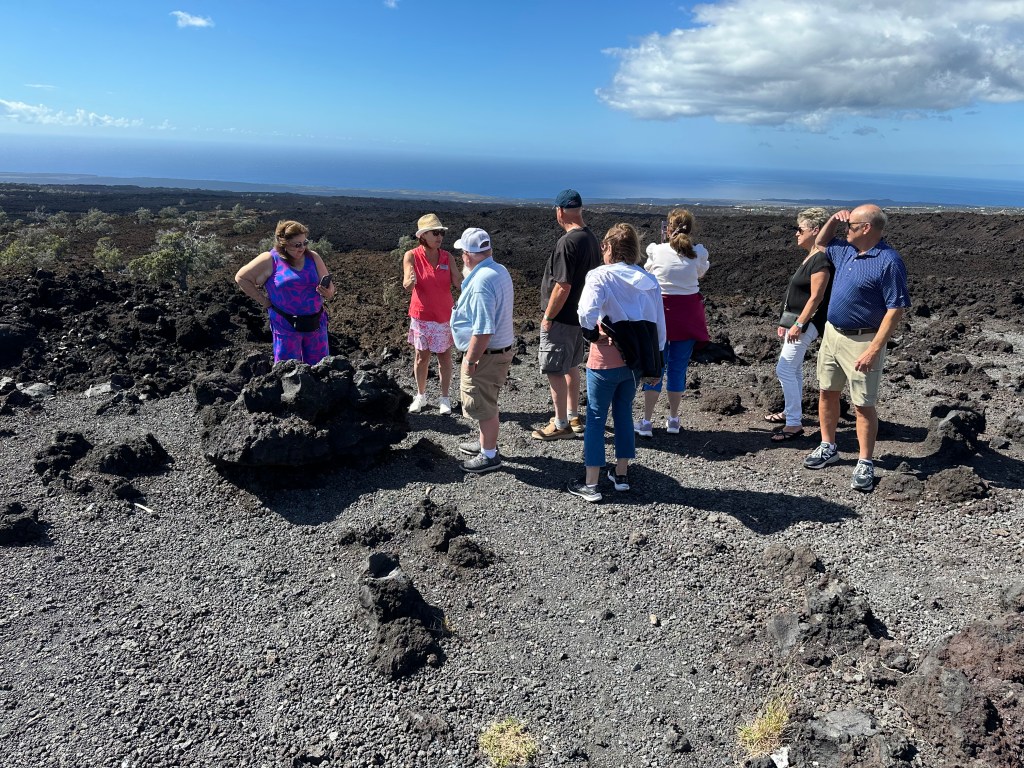
Near the island’s southern tip, an overlook affords splendid views of previous lava flows and the blue Pacific. Miles away, we could see the southernmost point of the US. Sorry, Key West. No haze, cell towers, or skyscrapers spoiled the view. Giant windmills turned in the tropical wind. From our vantage point, they looked like children’s pinwheels.

Please click on the photos to enlarge them.

I wished my wife could have seen this. I kept wondering how she was doing and hoped for a signal to check in with her. I would have to wait a while longer than I wanted.

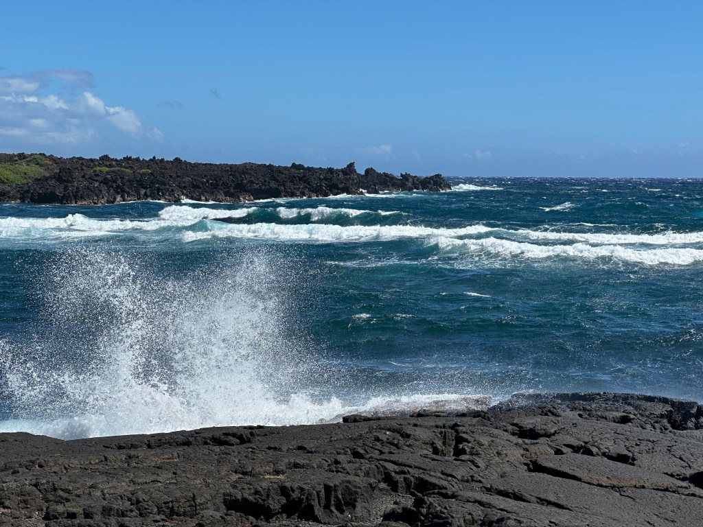
The landscapes and foliage changed drastically as the bus driver adeptly navigated the undulating and winding curves. The land was either barren and chunked up black lava or many shades of green with pastures, shrubs, and trees of all shapes and sizes.

Every now and then, we saw another Hawaiian human-caused phenomenon. Because of the rural nature of the islands and the tricky terrain for motorized vehicles to maneuver, crashes are frequent. Instead of towing the wrecked cars, they are pushed off the roadway and over the hillside where they stay. This only applies to vehicles deemed not worth towing.

Many demolished cars, trucks, and vans were either stripped of their valuables, burned out, or both. They had been there long enough for young trees to grow through the tipped-over junkers. This practice seems to run counter to the nearly litter-free islands. Recycling is the norm in Hawaii, with old, crashed vehicles apparently exempted.

When we reached the tiny village of Naalehu, we stopped at the southernmost bakery in the US. The Portuguese donuts were scrumptious. I only ate one but took one back for my wife.

Too soon, we were back on the road, heading north. The ocean was on the right, and slush pastures dotted with windswept and stunted trees on the steep slope of a volcano on the left. This was the windward east side of Kona, where the prevailing winds bring ample rains compared to the western part of the island.

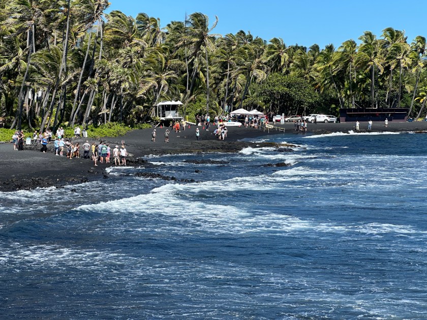
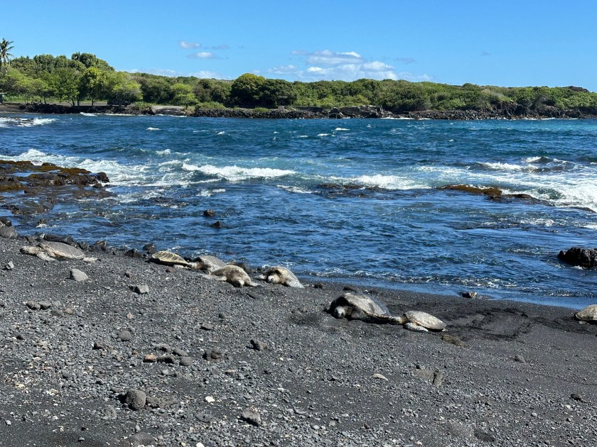
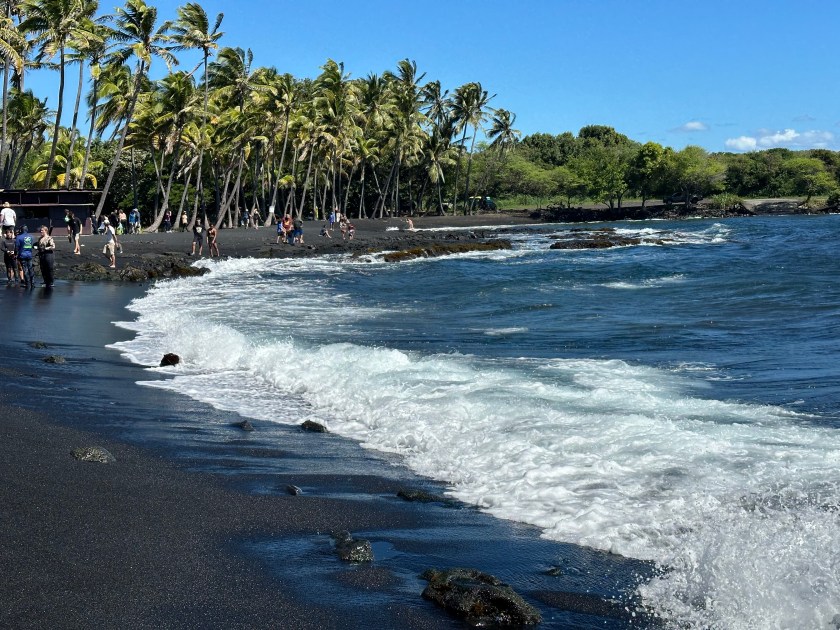
We arrived at Punalu’u Black Sand Beach Park and were pleasantly surprised. As we approached the beautiful beach, I noticed popup canopies, and many people stood around observing.

Our visit was well-timed. Scientists, professors, and marine biology students from the University of Hawaii were capturing, evaluating, and tagging Green Sea Turtles. In fact, a few large ones lay on the beach, absorbing the warmth of the noontime sun.

Since we had lunch reservations at our primary destination, our time on the beach was limited. The black sand is the product of lava being eroded and pulverized many times to form the beach.

The bus steadily climbed the gradual slope to the Hawaii Volcanos National Park’s visitors center, where a tasty lunch awaited us. After lunch, we joined our guide outside.

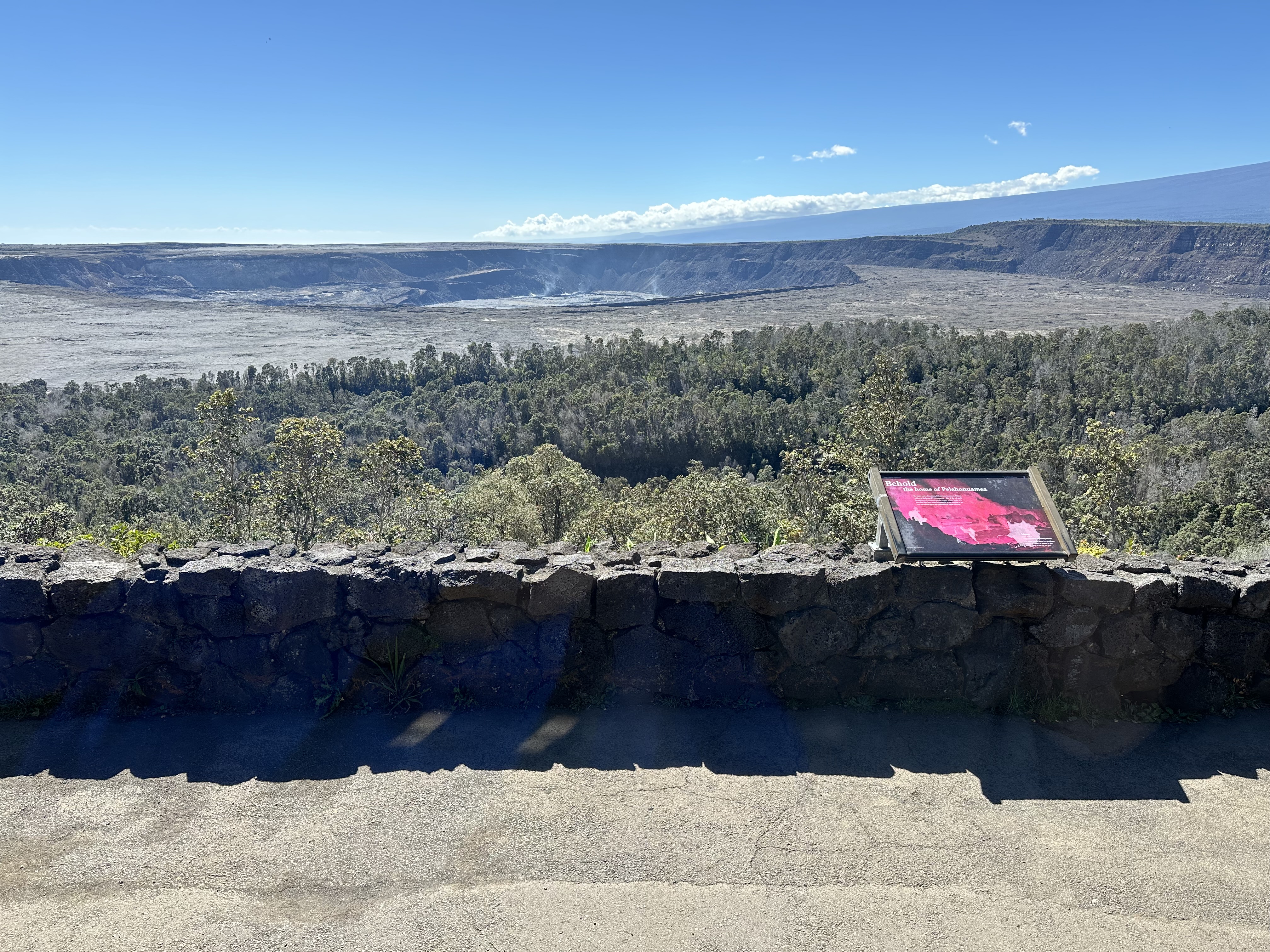
I was expecting a tall volcanic cone where we peered over the edge to look down into the crater. I underestimated the size and power of these massive domes. It was at least a half mile away. I think Manhattan could fit inside Kilauea’s gigantic crater.

Please click on the photos to enlarge them.

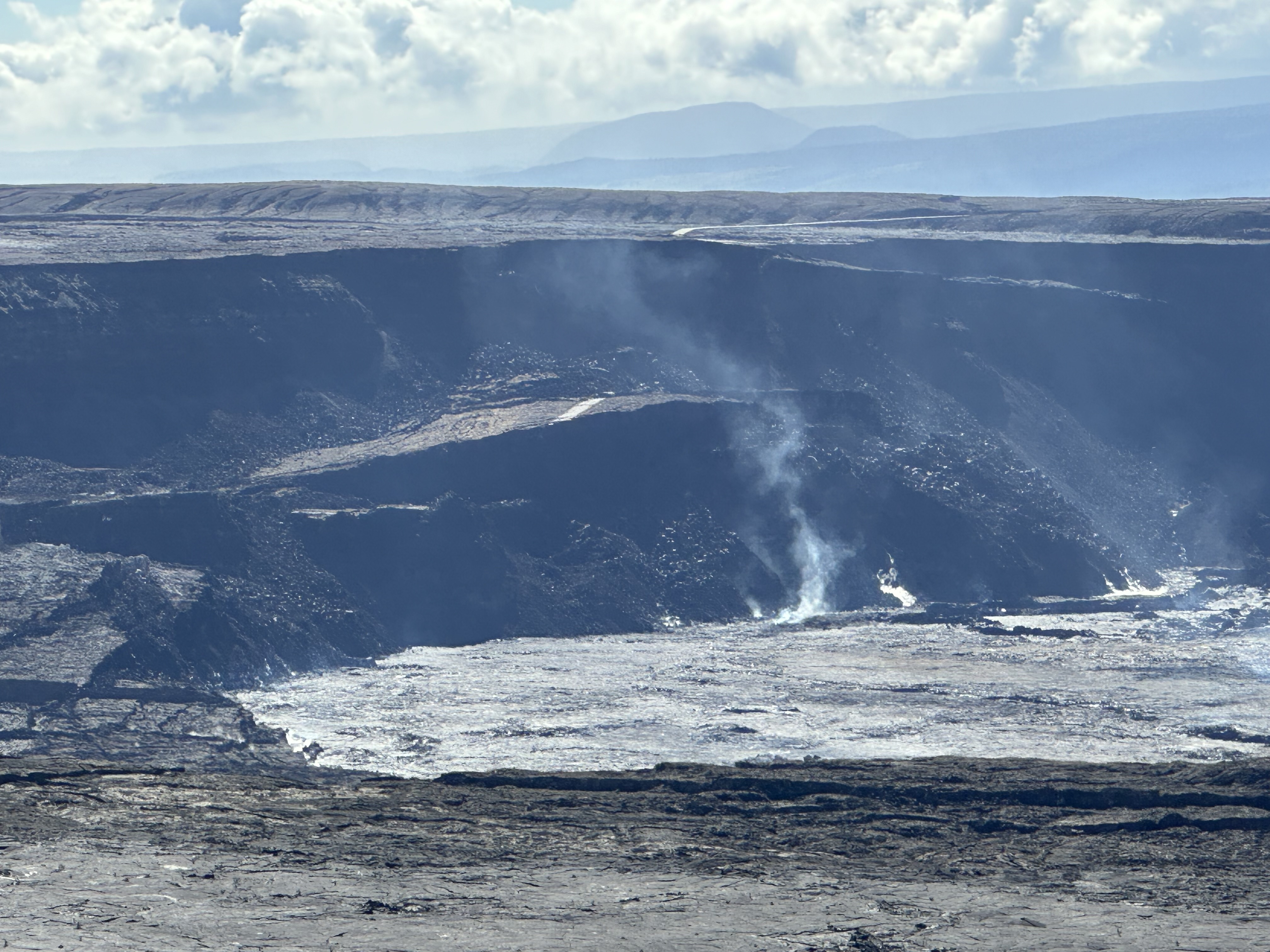
I also expected strong odors to emit from the caldera. Instead, it mainly was steam from vents along the volcano’s sides, although the fumes from Kilauea’s center would have been noxious.

To get a closer look, some of the group walked with our guide along an abandoned highway about half a mile. We could more closely see the steam rising from the crater’s center.

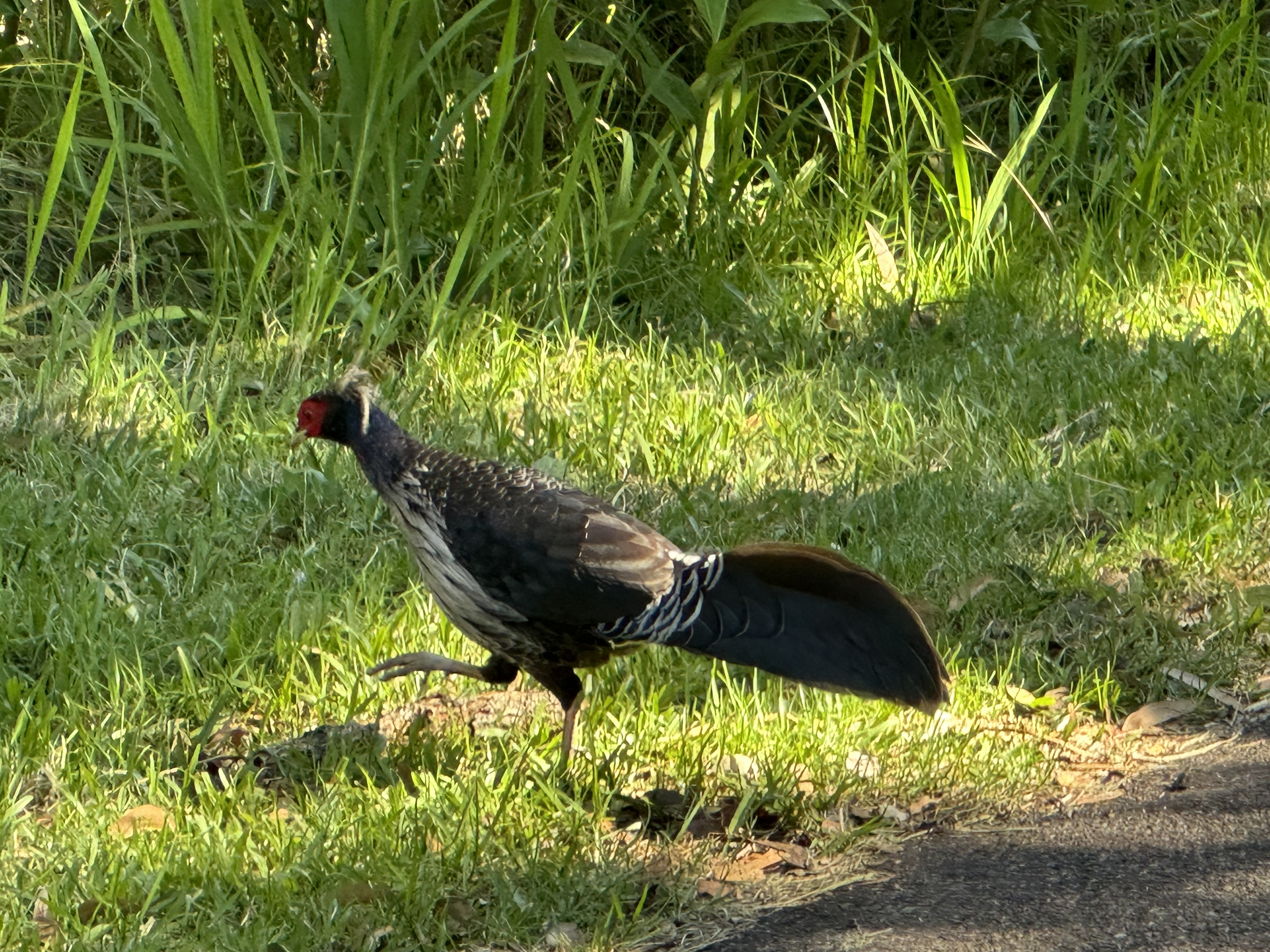
Several birds popped out before us on our way back to the bus. We headed back down the mountain, through the aptly named little burg of Volcano, and on to Hilo, the island’s largest town.

We stopped at Rainbow Falls in Wailuku River State Park, and I finally had a signal to contact my wife. She had Covid. Our guide jumped into action and tried to find an urgent care facility where Neva could be seen. However, all three were either closed or about to close, so my dear wife had to take a cab to the local hospital emergency room, where she spent four hours before being seen. All she wanted was a prescription for Paxlovid, which the ER doctor faxed to the local pharmacy.

Our guide assured us Neva and I could continue on the tour. She said the tour company treats COVID-19 like the flu. We would isolate on the bus and wear masks when around others. With only 14 people on the tour and riding a bus for 46 passengers, we could easily comply. I informed the other group members, and they were most understanding and concerned.

Darkness began to fall as we headed west up over a pass that took us past several volcano domes. The twilight gave them an eerie appearance. My poor wife didn’t arrive back at the hotel until 11 p.m.

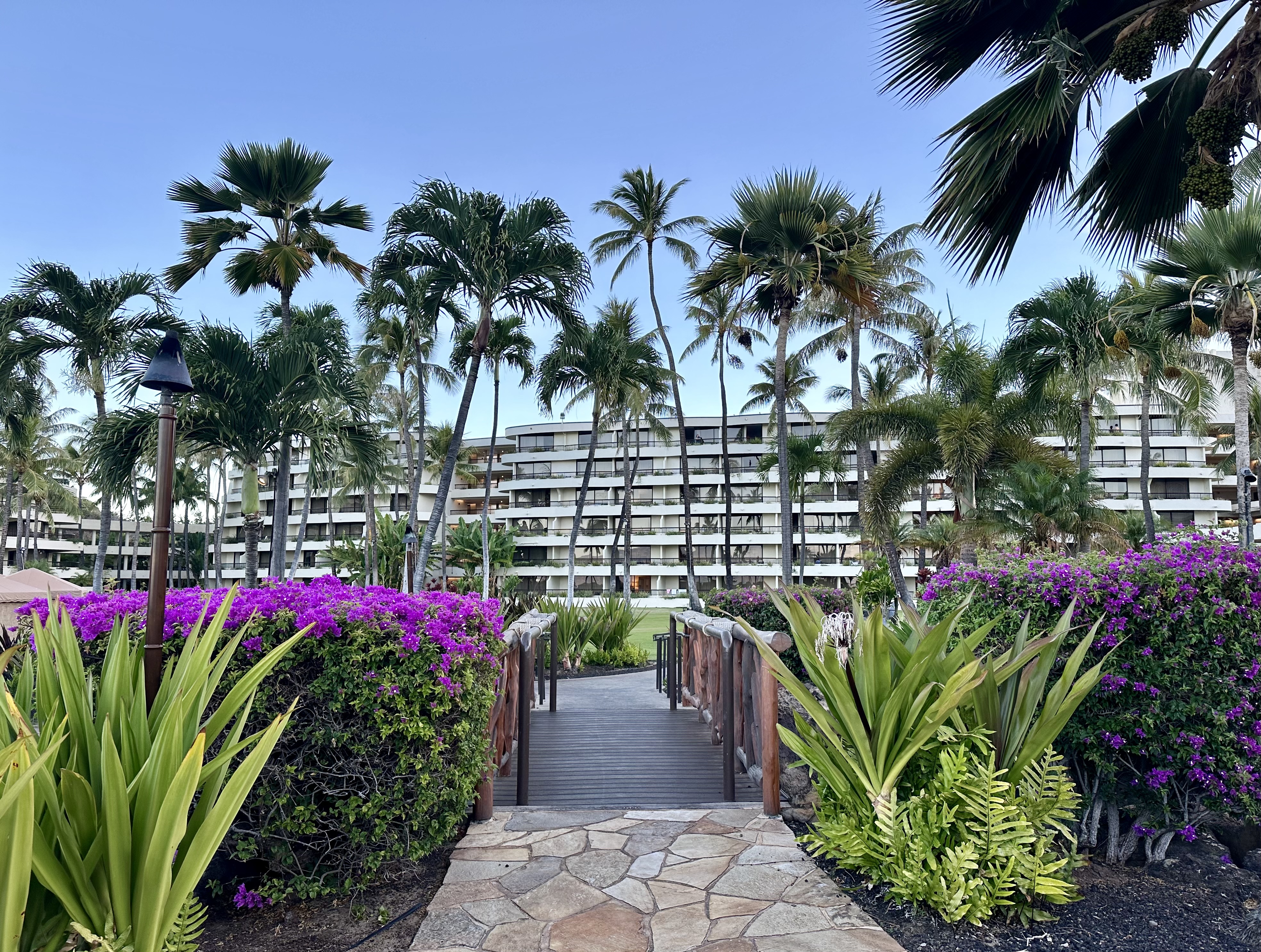
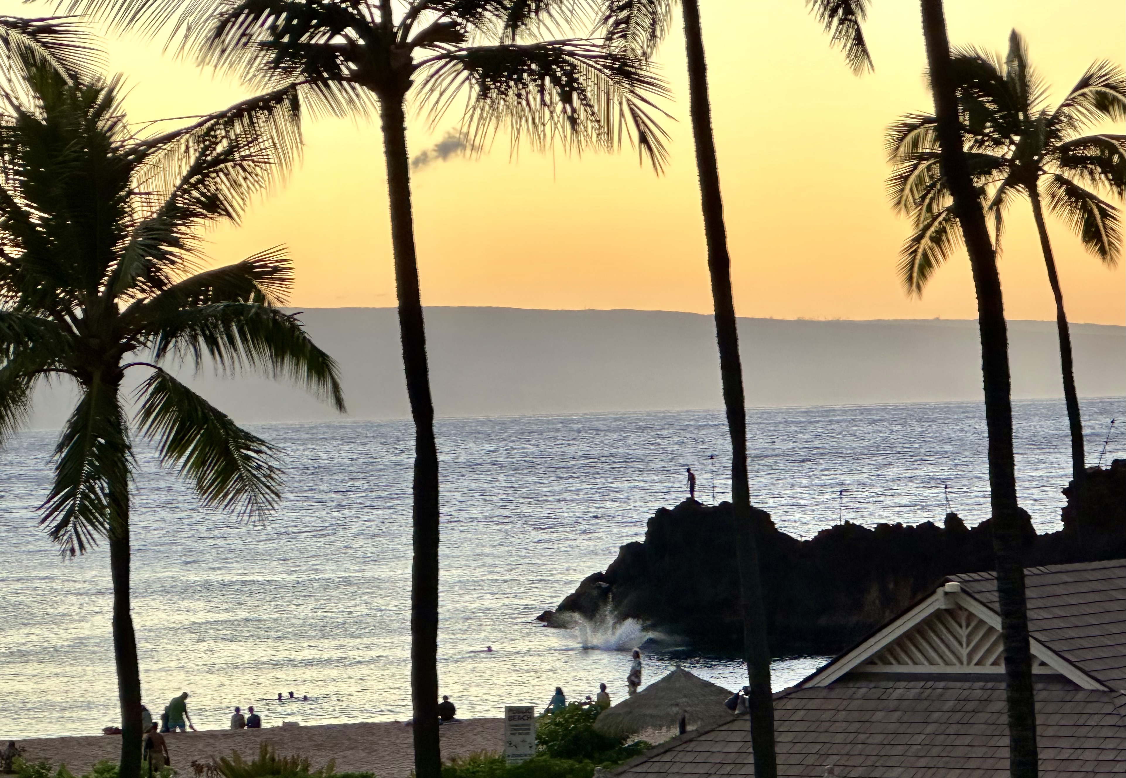
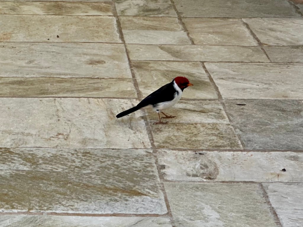
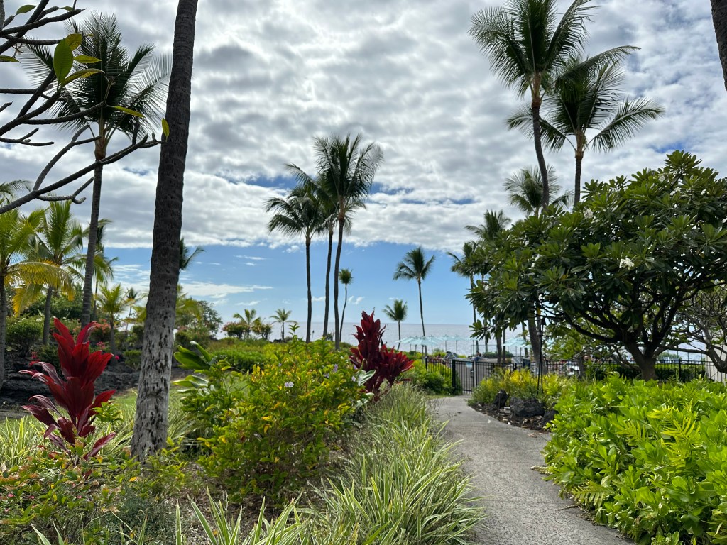
We spent the next day relaxing around the hotel after I retrieved Neva’s prescription. I did some birding and enjoyed exploring the nooks and crannies on the hotel property while my wife rested. We finished the day watching mantarays feed in the shallow waters along the lava rocks in front of the hotel.

The next day, it was off to Maui!

© Bruce Stambaugh 2025

Hawaii – Day 4

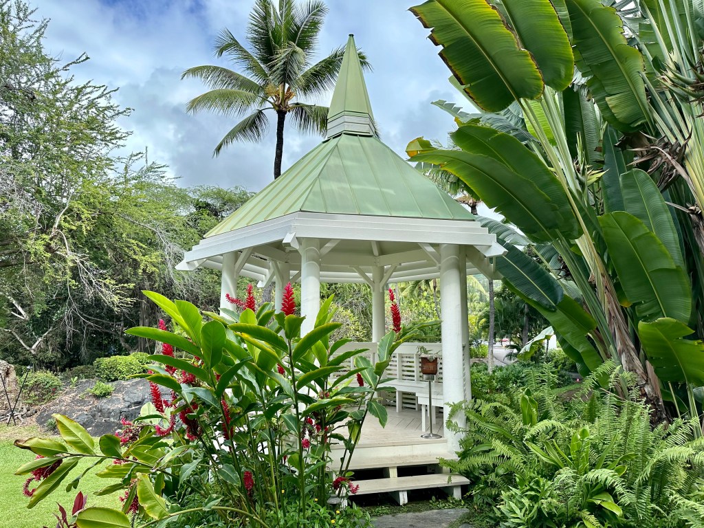
Flowering shrubs, coconut palm trees, and brilliant rainbows were ubiquitous in Hawaii.

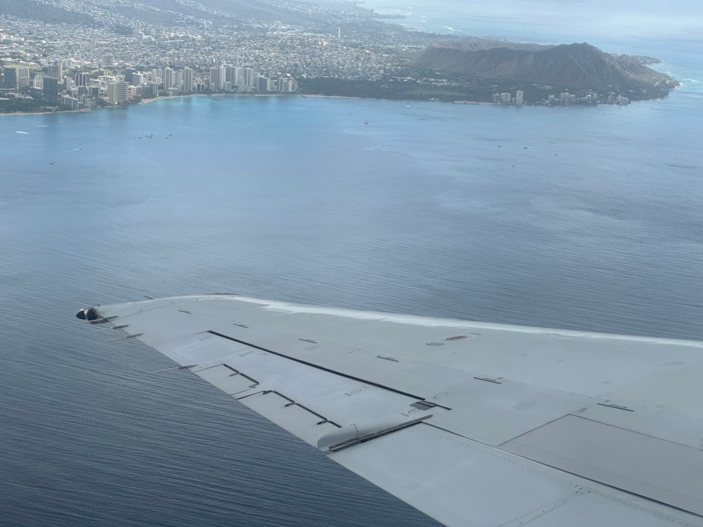
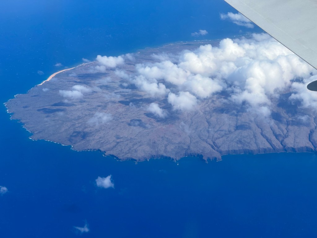
Our tour of Hawaii continued as we flew to the Big Island, which the locals call Kona. As our morning flight left Honolulu, I got a shot of Waikiki Beach and Diamond Head. Flying over other smaller islands, I was amazed at how deep blue the ocean was.

We landed at Kona’s small airport, where the luggage claim carousels are outside but covered with square thatch-like material to resemble native huts. Our small group boarded the bus for Kailu-Kona, where we had lunch. Our guide gave us a heads-up to sit at the bar where the prices were lower and the food just as good. We followed her wise advice and enjoyed our fish tacos.

We strolled around the oceanside town, window-shopping and enjoying the balmy breezes. Still, the sun was hot, so we refreshed ourselves with a cup of tasty shaved ice before boarding the bus again.

Since Kona has six volcanoes, traveling is either up, down, or around the island. We did all three on our ride to a historic coffee farm, now run by the Kona Historical Society, a non-profit organization. The farm is the only living history coffee farm in the country.

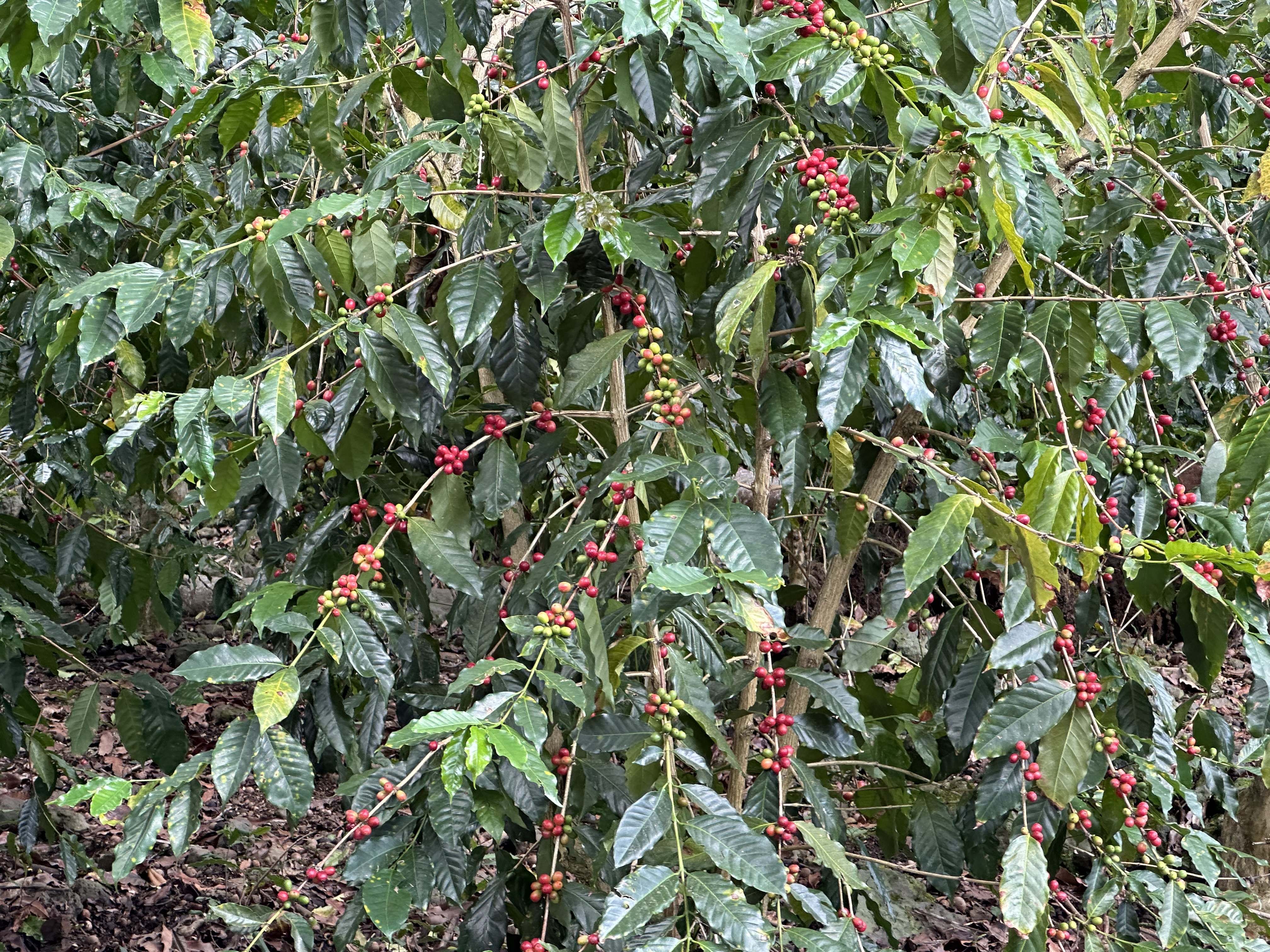
Along the path to the old farmhouse, bright red coffee cherries bent the bows of coffee bushes. Most were nearly ripe for picking. Tropical songbirds flitted from tree to tree, but there was no time to investigate them. A staff member from the historical society greeted us and gave us an overview of our visit.

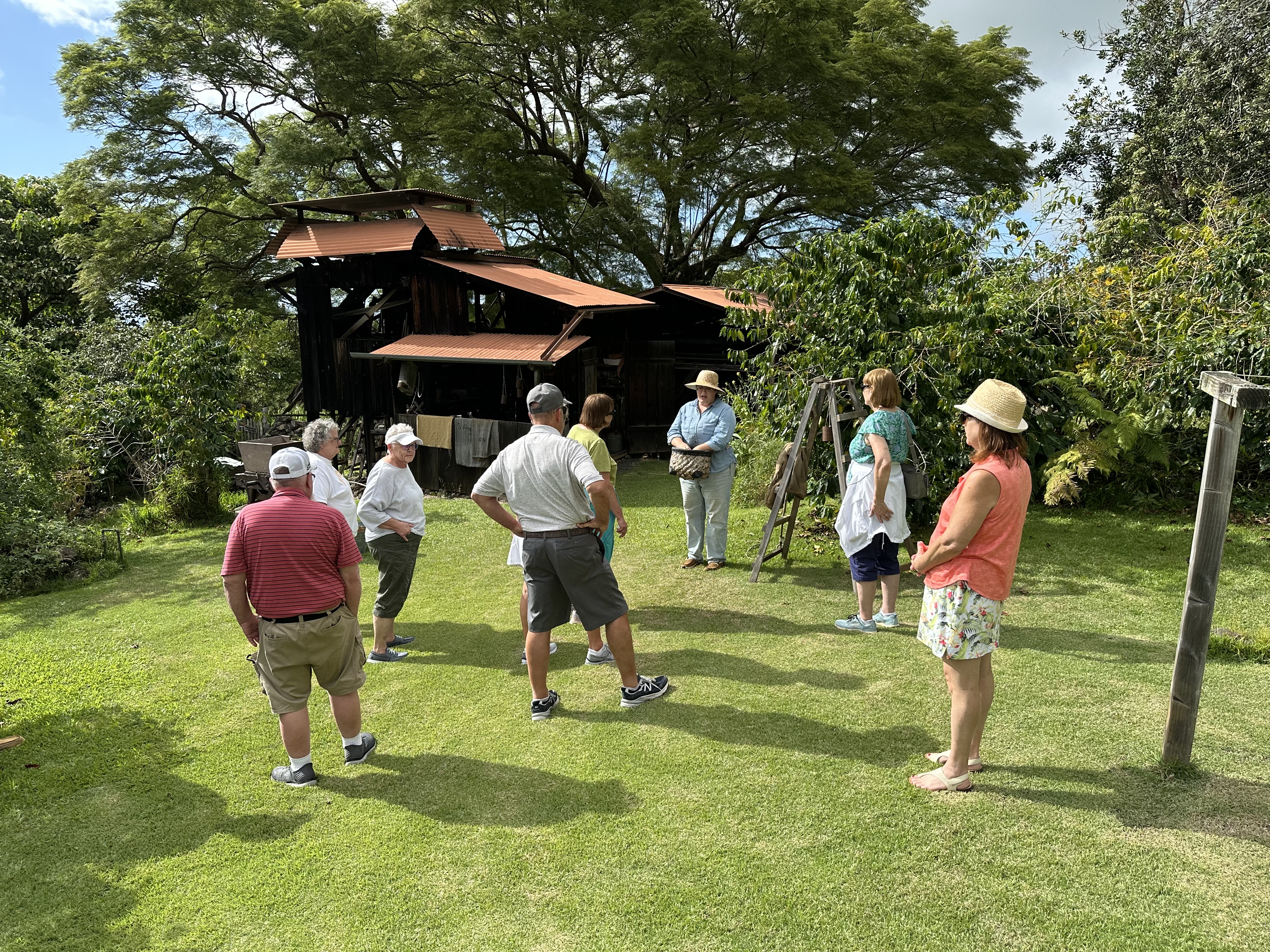
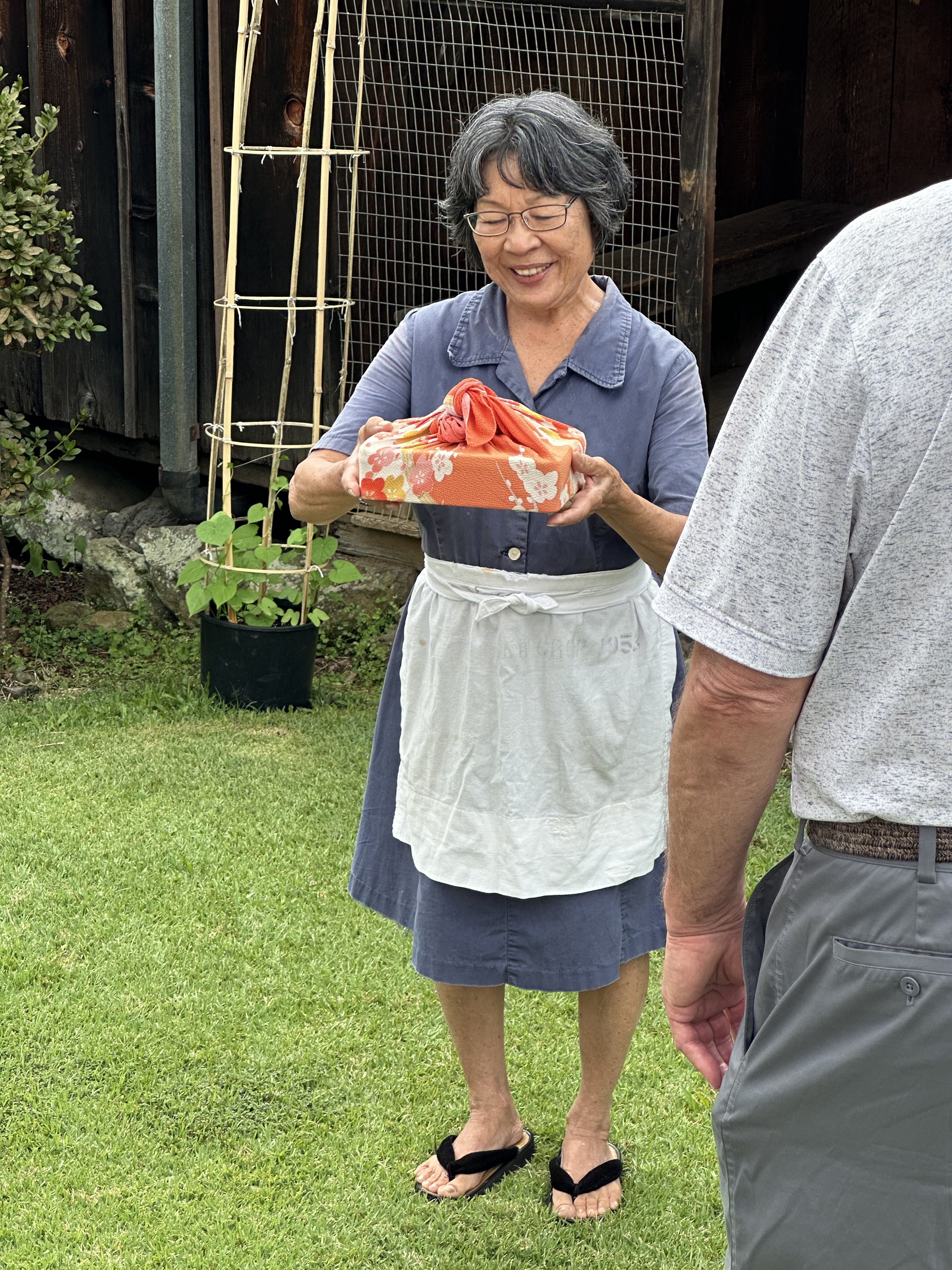
As we neared the old, original farmhouse, an elderly Japanese woman appeared. Tradition calls for visitors to present a gift to the head of the residence. The docent, of course, had one and presented it to our host, Paula, who graciously accepted it.

Paula had a precious and moving story about her life on the farm. When she was four, her parents apprenticed her to the farm, where she mainly assisted in homemaking activities and worked in the garden.

Paula explained the traditions and daily routines the family went through to keep the farm operating. Her personal stories of a child doing an adult’s work moved us all.

Japanese came to this part of Hawaii in the 1920s, when the farm was established. After the bombing of Pearl Harbor, the Japanese were rounded up and placed in detention camps. However, Japanese farmers were not. Consequently, the coffee farms were deemed essential and continued to operate.

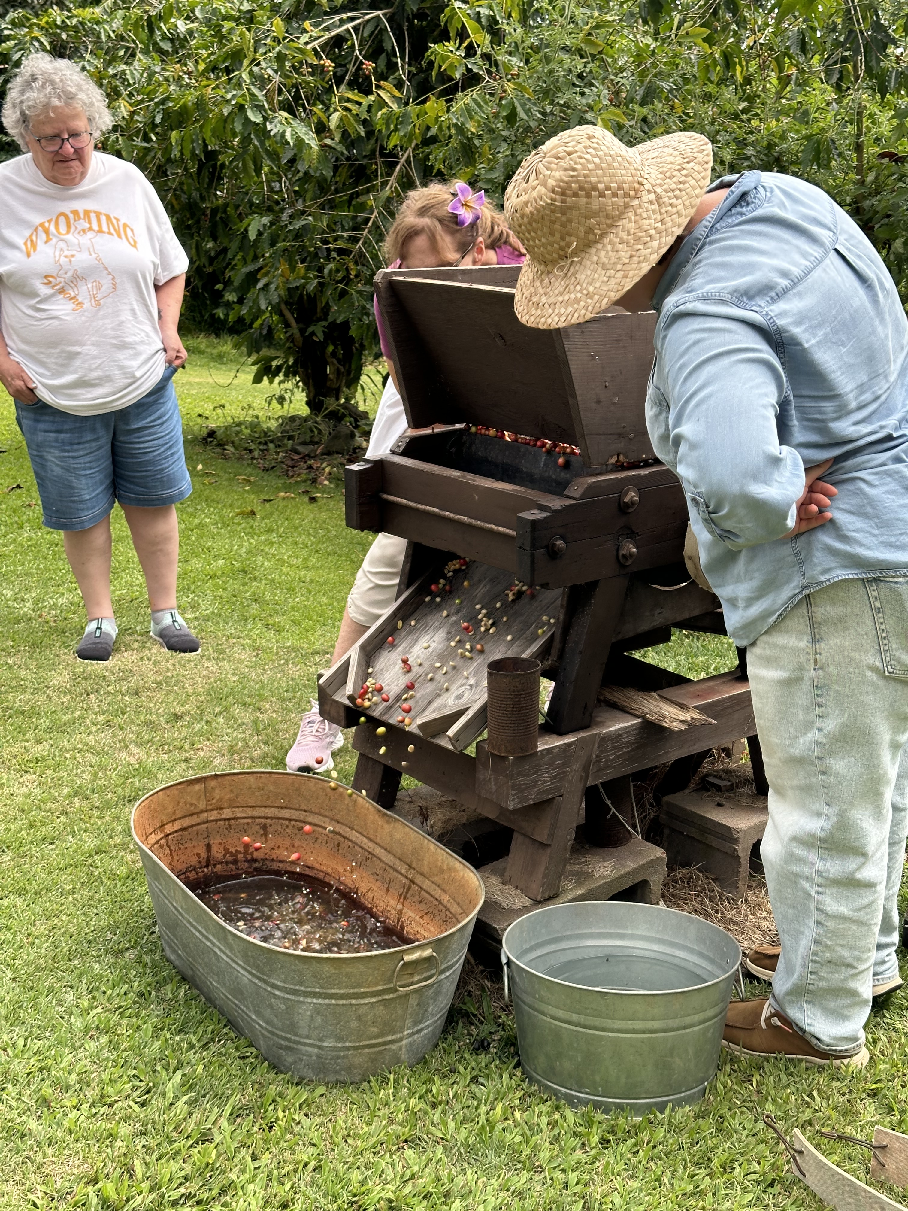
The farm was exquisitely maintained, just as when Paula helped on it. All the buildings were original to the farm, and each operation was explained. Having been to Honduras several times, I had seen the entire process of small coop coffee farms. I even helped pick the coffee cherries. The Japanese methods of growing, harvesting, and processing the cherries and the beans they contained were remarkably similar to what I had experienced.

An exception was the way the beans were dried. In Honduras, beans are often placed on concrete pads or tarps and dried in the sun. The shed where the beans were dried at this historical farm had a slanting roof to prevent the tropical rains from spoiling the crop.

Our group was impressed with Paula and the simple but efficient way of producing the rich Kona coffee. It was a great introduction to the Big Island.

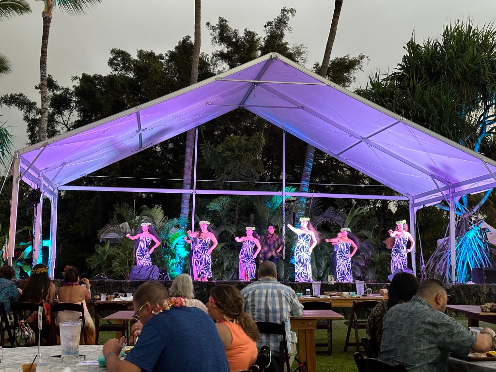
Our day ended with a traditional evening luau with roasted pig, poi, poke, rice, and fresh vegetables and fruits. Lots of singing and acting out historic events followed with dancers and native warriors. Of course, a light rain briefly drizzled us, which is customary and unavoidable.

A gentle rain began to fall, but in such a setting, it didn’t matter. Photo by Bruce Stambaugh

© Bruce Stambaugh 2024

Hawaii Day 3

Diamondhead at sunset from Waikiki Beach. Photo by Bruce Stambaugh

On our last day on Oahu, we signed up for a circle tour of the island. However, thanks to our skilled and knowledgeable bus driver, it was more of an immersion into the Hawaiian culture. We dove in.

A native of Oahu, Lani knew all the places to stop, including a few that weren’t on our official itinerary. She made a lovely tour luscious.

Before we ever boarded the bus, a bright rainbow arched across the early morning sky. It wouldn’t be the last we would see.

Another rainbow to start the day.

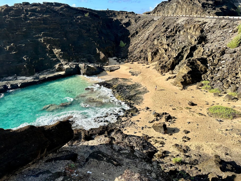
Our first stop was an overlook along the main highway, which offered spectacular views of the Pacific Ocean and a stretch of ancient lava coastline. Unfortunately, the waves weren’t big enough to give us a frothy show at the Halona Blowhole.

Please click on the photos to enlarge them.

However, in a small cove below, a few swimmers braved the steep and rocky descent to a secluded beach, where wave after wave lapped at the small sandy shore. I could have spent hours soaking in the view, the balmy breezes, and the warm sunshine, but Lani had other places to tantalize us.

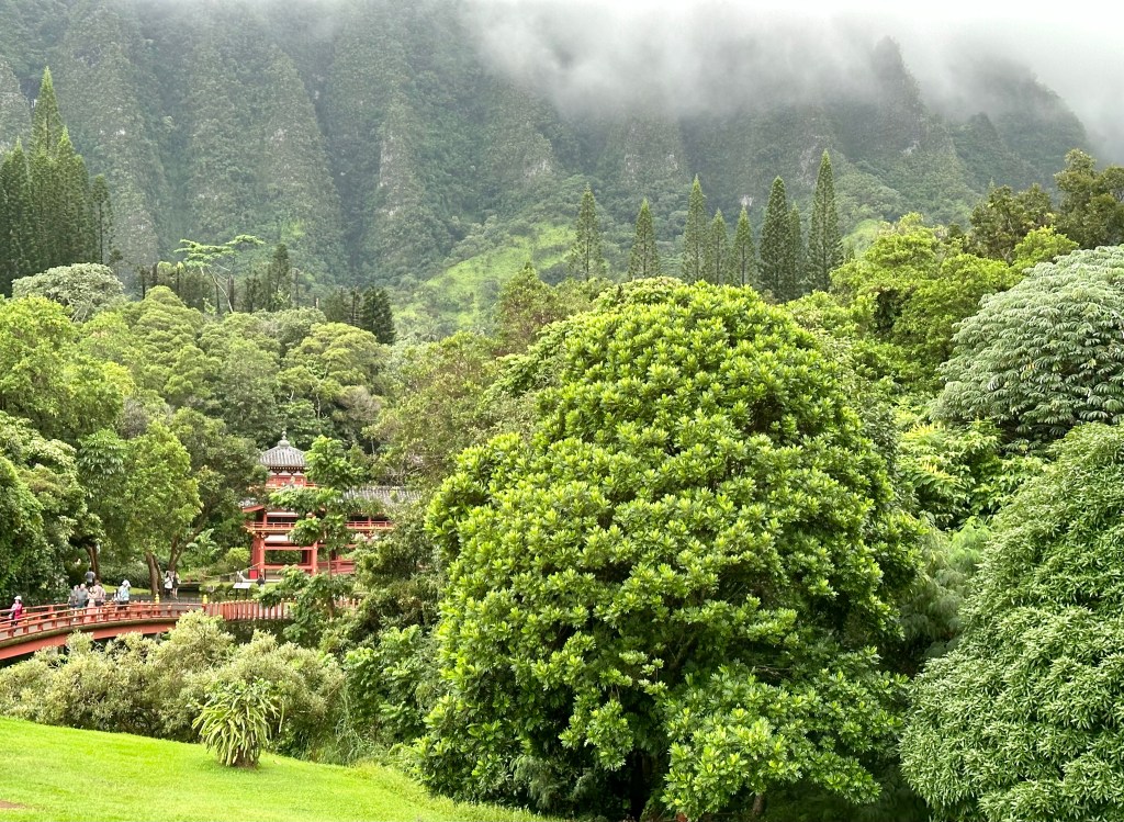
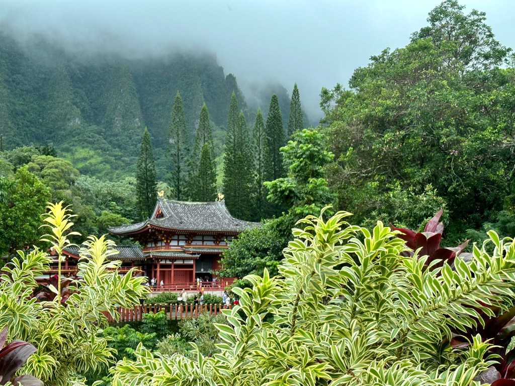
We drove inland and entered the Valley of the Temples Memorial Gardens. Set against curtains of solid lava adorned with lush greenery, a bank of lacy clouds hovered over the temple grounds.

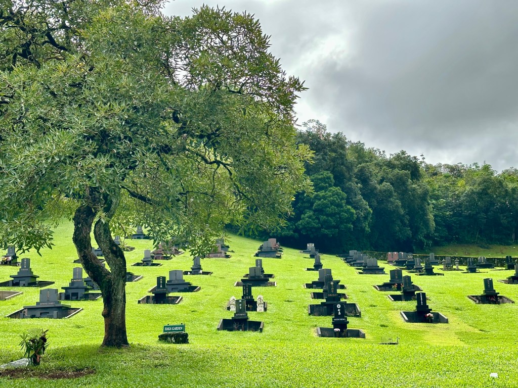
Located at the base of the Ko’olua Mountains, the non-denominational Buddhist temple was surrounded by abundant vegetation, large and small. A sprawling, immaculate cemetery covered the rolling terrain between the highway and the temple.

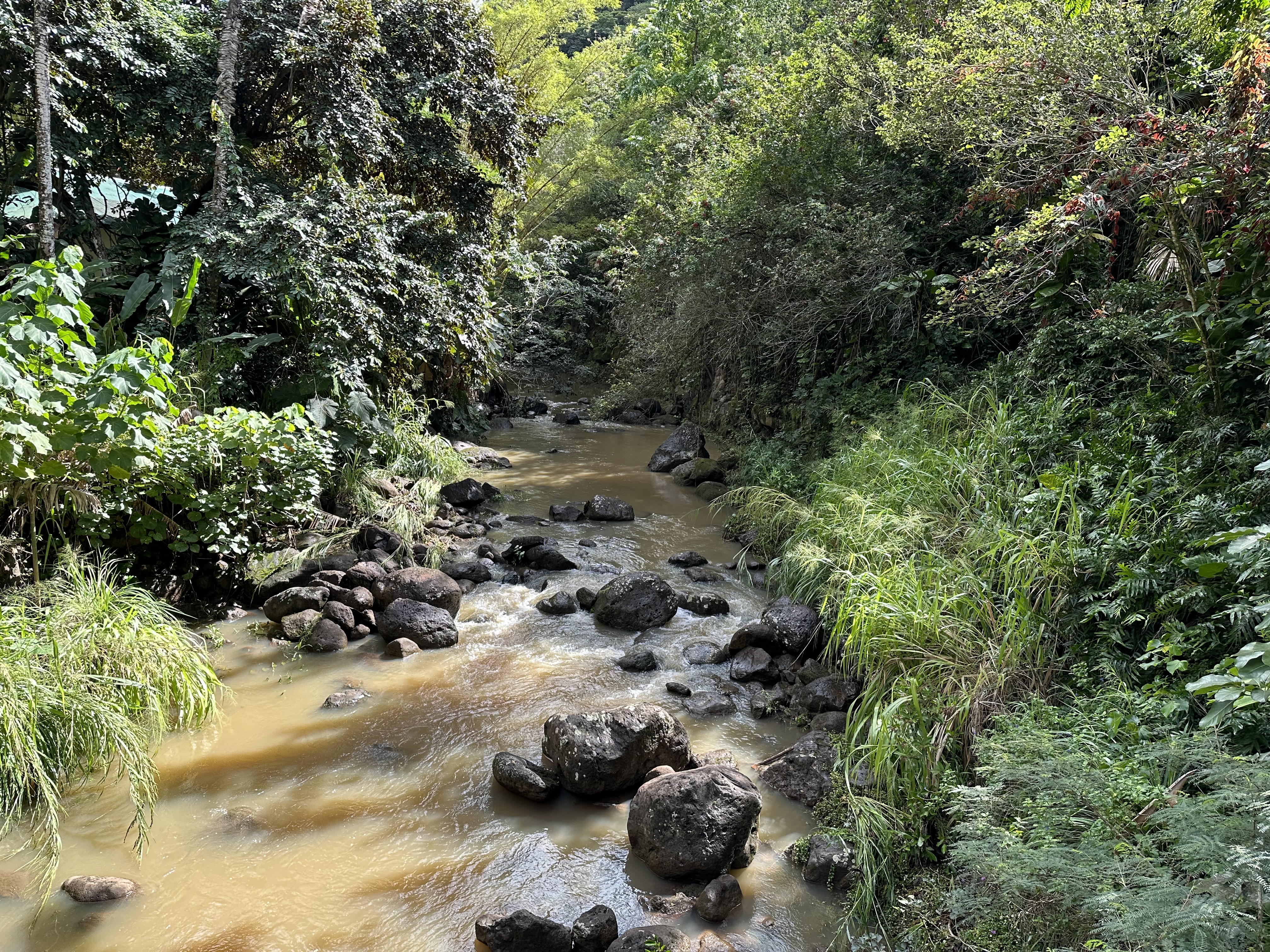
Recent heavy rains had muddied the Swan Temple Lake. Still, the setting drew me in, daring me not to take a photo. I happily succumbed. We also rang the giant gong for good luck. I’d say it worked.

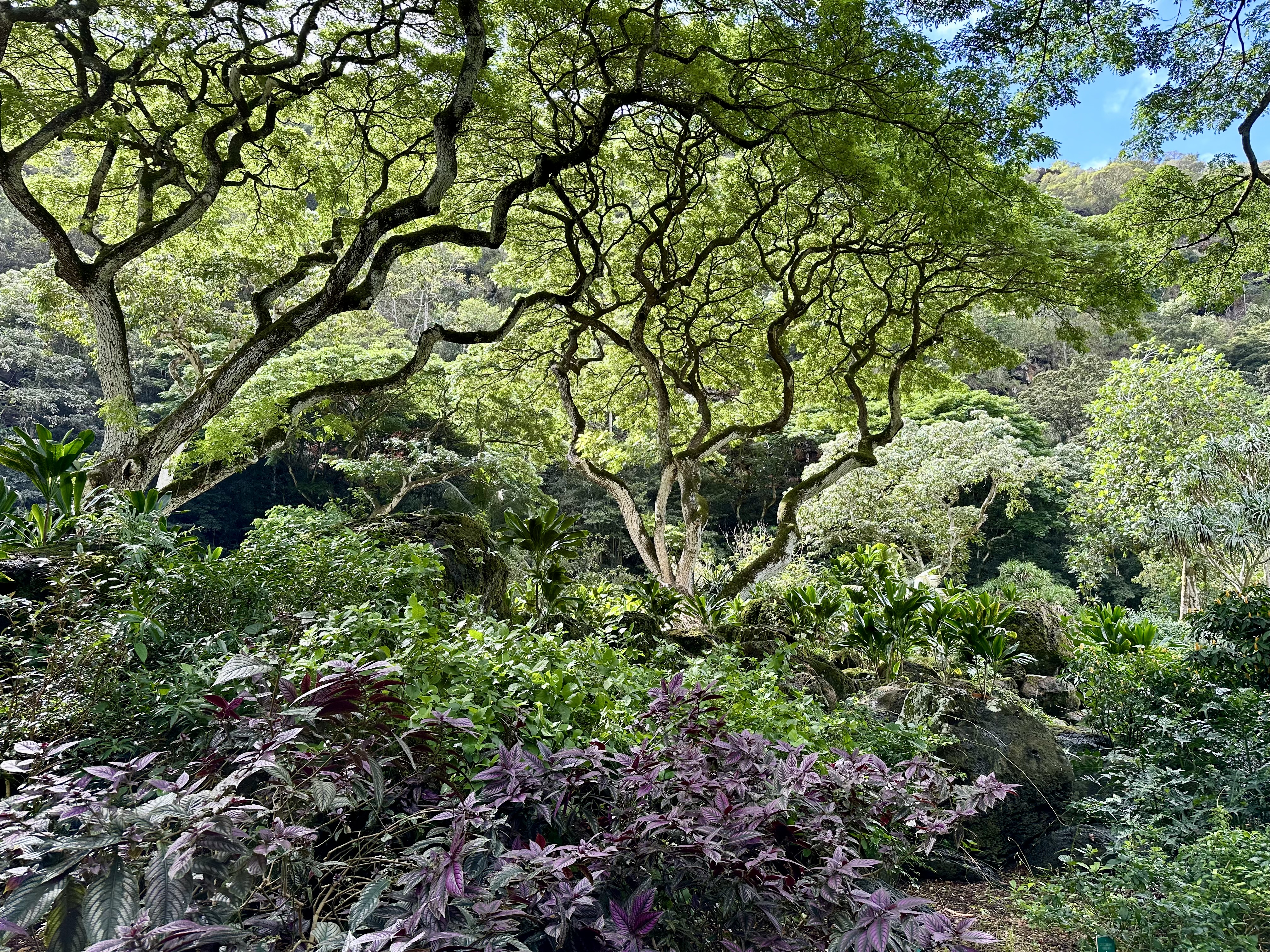
The next stop was Ko’olauloa Waimea Falls. I walked up to the falls, where some high school students enjoyed the cascading water. On its way to the ocean, the stream split the ravine, guarded by heavily wooded steep flanks filled with brilliantly colorful flowers and various songbirds I couldn’t identify. It was as if the incredible environment effortlessly drew me up the slope and back down.

Please click on the photos to enlarge them.

Too soon, it was time to continue our drive along the Kamehameha Highway, which offers beautiful ocean views. We passed multiple local parks, a testament to Hawaii’s commitment to preserving public green spaces. However, due to rising sea levels, shore and beach erosion are ongoing battles.

Along the Kamehameha Highway.

Our next stop was the Dole Plantation retail store. There, people enjoyed the famous Dole Whip while others browsed or shopped. Soon after leaving there, we passed acres and acres of agricultural land, some planted with pineapples.

Agricultural fields near a military base. Photo by Bruce Stambaugh

Our knowledgeable bus driver wisely took the counterclockwise route on the circle tour of Oahu. While we were returning, most traffic was headed out of Honolulu. Before we hit the city, we stopped at a pass that overlooks the capital.

Overlooking Honolulu on a windy, rainy day.

We had a 180-degree view of Honolulu and the surrounding mountains. Rain pelted one side of the urban setting while the other was dry. We braved strong wind gusts to enjoy the view and feel the rain.

We snaked our way down through neighborhoods of pagodas, apartments, schools, skyscrapers, unkempt houses, and urban parks to reach sea level. The tour was over, but the best was yet to come.

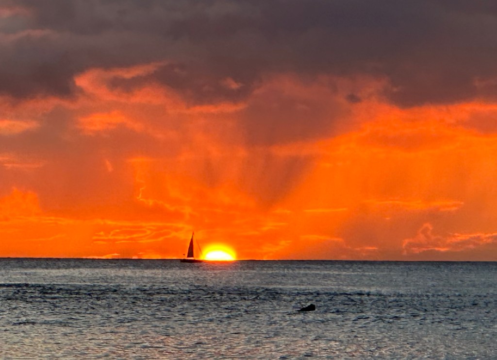
After dinner, our orange dessert was a spectacular sunset on Waikiki Beach. The next day, we flew to the Big Island.

Sunset at Waikiki Beach. Photo by Bruce Stambaugh

© Bruce Stambaugh 2024 

Hawaii Days 1 & 2

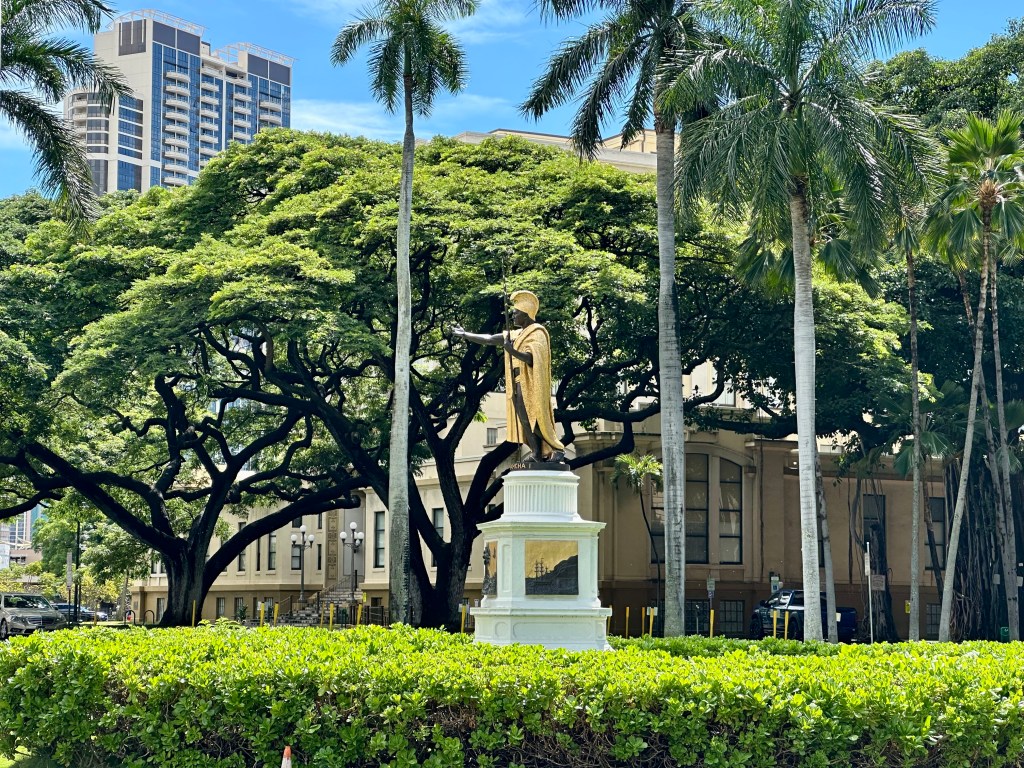
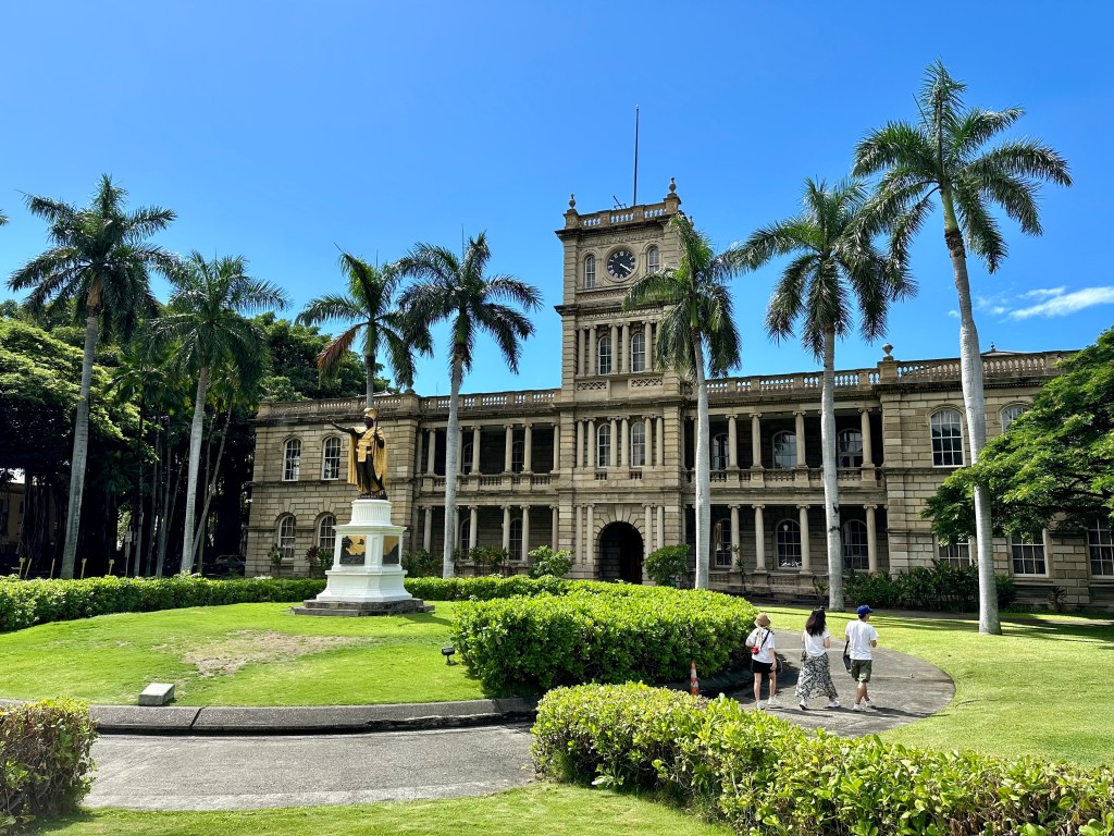
King Kamehameha’s statue near the Hawaiin capitol in Honolulu. Photo by Bruce Stambaugh

My wife and I couldn’t wait to get to Hawaii. Our flight plan took us from Washington, D.C., to Los Angeles, California, to Honolulu. We weren’t looking forward to two long flights.

Little did we know the travel time would become even longer. We rose at 4:30 a.m. for a morning flight to LAX. Despite some turbulence in the west, the flight went well overall. The flight to Honolulu was a different story.

About 10 minutes over the Pacific Ocean, the pilot announced that we were returning to LAX due to a compressor failure that controlled the plane’s hydraulics. Even with the little I knew about commercial aviation, I realized we would be on an emergency return.

One of seven fire trucks met us on the runway on our return to LAX.

We landed fine, but seven fire trucks surrounded the plane to check the brakes and tires for any overheating or fire due to landing heavy. Everything was fine, and we deplaned, wondering what was next.

We waited until another plane and crew arrived. The gate agents announced a later departure time more than once. We were to arrive at our hotel in Honolulu around 6 p.m., but it was actually 11 p.m., so our dream of watching the sunset on Waikiki Beach on our first day was just that—a dream.

There would be other days and sunsets. We were in Hawaii, the 50th state, to join the Union.

Our first full day on Oahu was election day. With all the hype and drama throughout the campaign, I was glad we were far from the mainland. Poor Hawaii. They vote knowing the election has already been called by the time their polls close. That was the case again in 2024.

We met our group and tour guide for an early breakfast. We had chosen a small group tour, meaning the group was limited to 26. However, half of the group had canceled for multiple reasons, so we only had 13, plus Debbie, our guide.

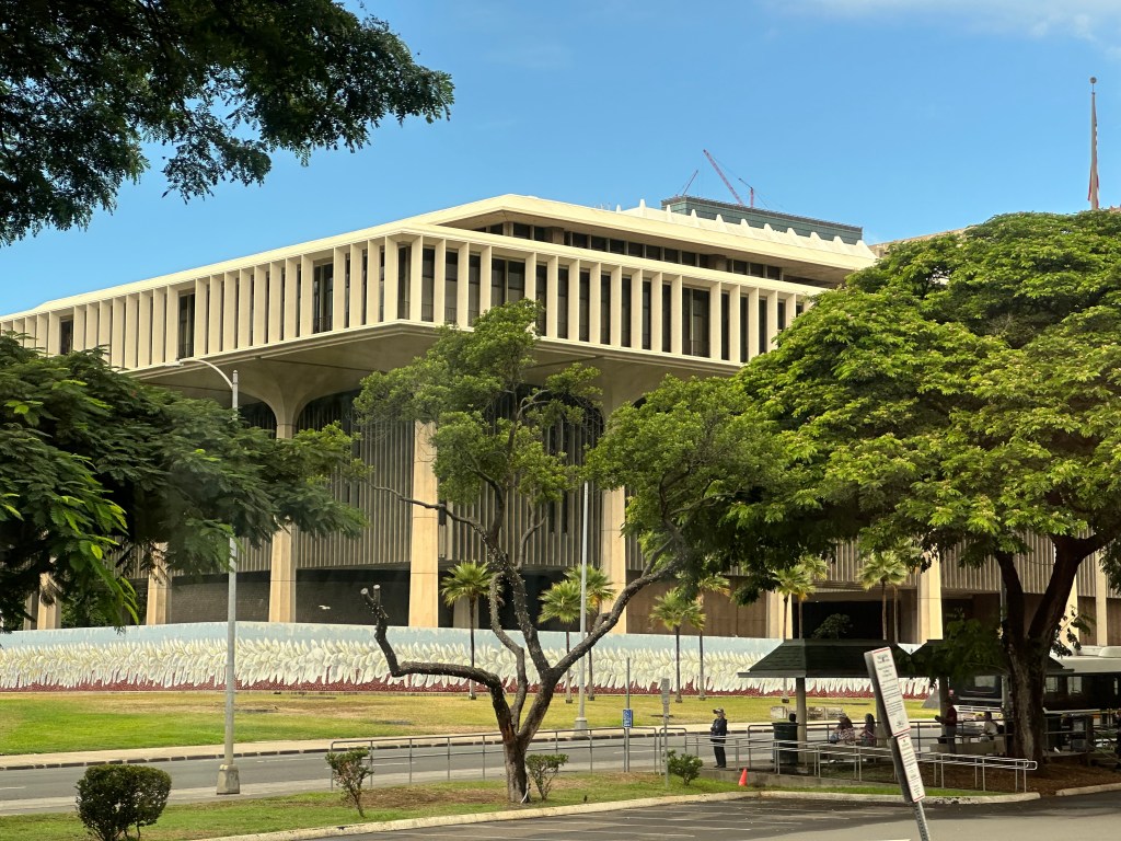
The breakfast was delicious, and our small group climbed onto a 46-passenger bus. We spent significant time touring the Waikiki Beach area of Honolulu, which has many shops, markets, and historic buildings. We saw the Iolani Palace, home of the last reigning Hawaiian royalty. King Kamehameha’s statue was across the street in front of a government office building.

We drove through the Punchbowl Crater, home to the National Memorial Cemetery of the Pacific, which honors U.S. military members who died serving their country. Since commercial vehicles are prohibited from stopping, we could only view it from the bus.

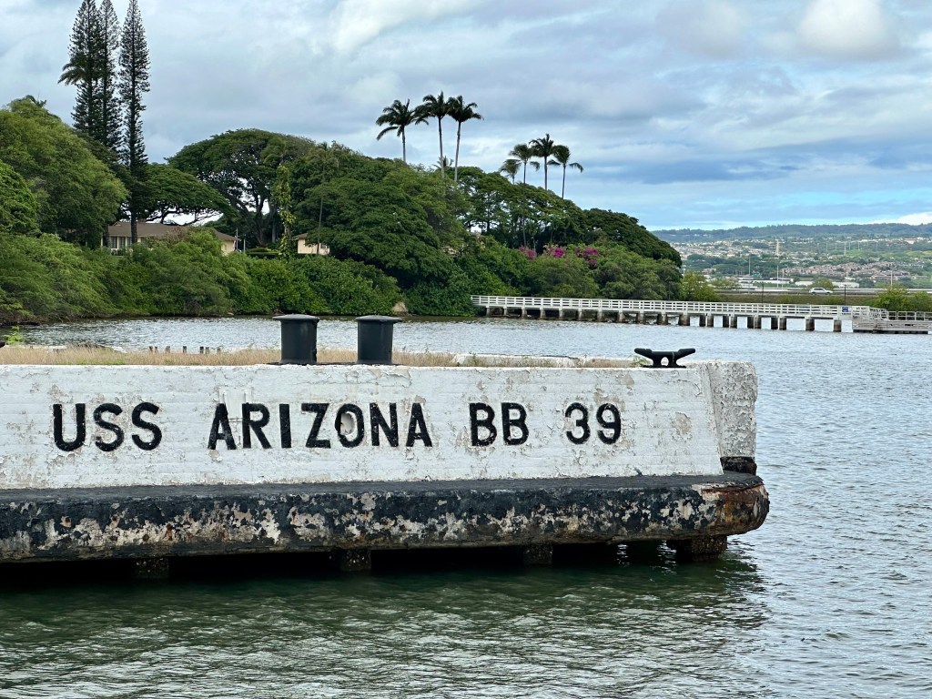
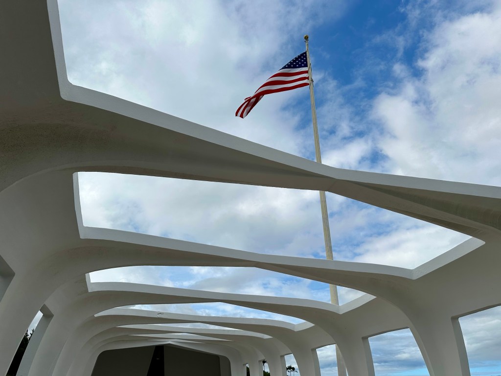
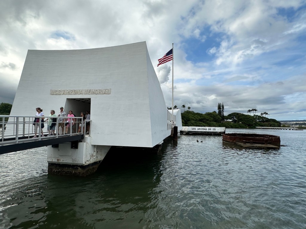
The solemn respect for those who died continued as we visited Pearl Harbor. We boarded small Navy transport boats to see the U.S. Arizona Memorial. The ship sank during the attack on December 7, 1941, and 1,177 sailors and Marines were buried in the rubble of the battleship. Out of respect, visitors were silent as they walked around the memorial. It was a stark reminder of the brutality of war.

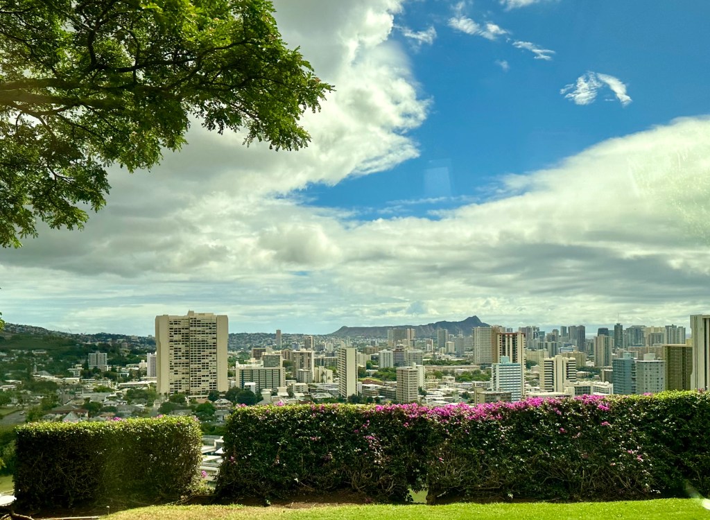
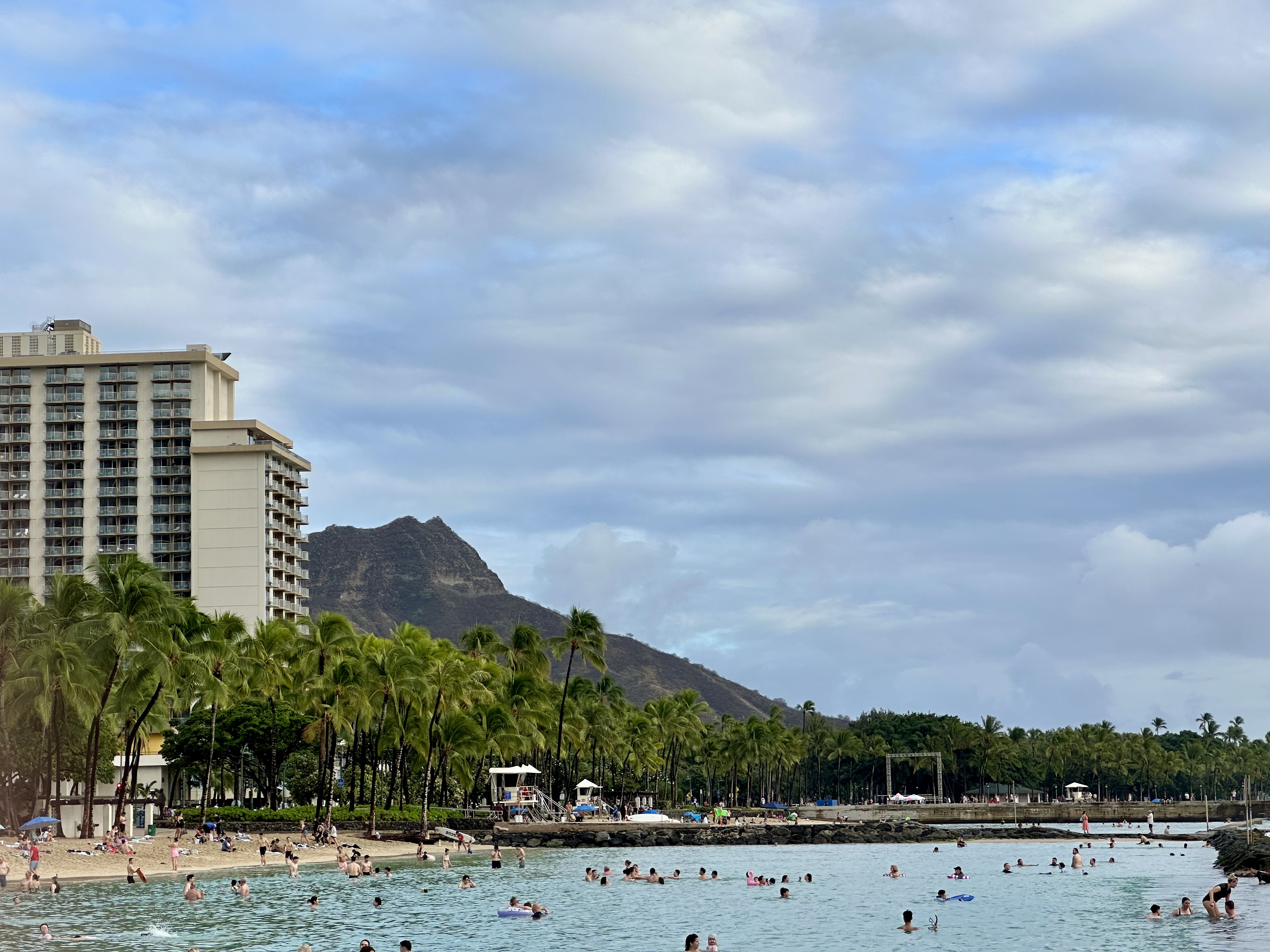
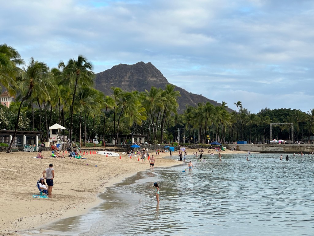
That seemed to drain the strength from us, and I was glad the group headed back to the hotel for the rest of the day. Before dinner, I hustled to get a shot of Diamondhead from the beach before dinner. Hotels are built so close to the beach that it’s hard to get a decent shot of the famous landmark. When I returned to our room, the heat and humidity had soaked my clothes. 

We enjoyed our dinner in the hotel’s open-air lobby. We were supposed to dine around the spacious pool, but with rain a possibility, the staff moved us under shelter. We knew the results of the election before our food arrived.

A better view of Diamondhead. Photo by Bruce Stambaugh

© Bruce Stambaugh 2024

Light into Darkness

Morning light shines into a darkened kitchen on a historical farm. Photo by Bruce Stambaugh

When I walked into the old farmhouse, the tour guide went right. My head, however, looked left, drawn by the stark contrast of the bright morning light shining into the dark kitchen of this century-old farmhouse.

Paula, our 78-year-old guide, worked in the home and on the farm as a child.

Our guide lived and worked in this home, starting at age four. We couldn’t have had a more authentic authority on how this former family coffee farm operated.

Today, Hawaii’s Kona Historical Society welcomes visitors via reservations to explore the Kona Coffee Living History Farm on Hawaii’s Big Island firsthand. Everything is as it was when Paula began helping around the house and on the farm.

I’ll share additional photos from the farm in a future post as I begin a series on a recent trip to Hawaii, our nation’s 50th state.

© Bruce Stambaugh 2024

Shenandoah National Park: Before and After the Peak Leaf Colors

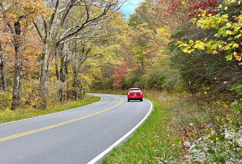
Nature’s beauty reigned even after the peak colors had faded. Photo by Bruce Stambaugh

Fall is a great time to hike, bird, and shoot photos. Shenandoah National Park is my go-to place to combine all three hobbies in one trip.

However, I have learned to avoid the peak color time due to crowds. People from around the world visit the park to admire its autumn glory, which means traffic is also at its peak on the iconic Skyline Drive.

By mid-morning, lines of vehicles form at entrance stations. Overlook parking spaces fill up quickly, forcing people to park along the busy roadway. The same is true for trailhead parking lots.

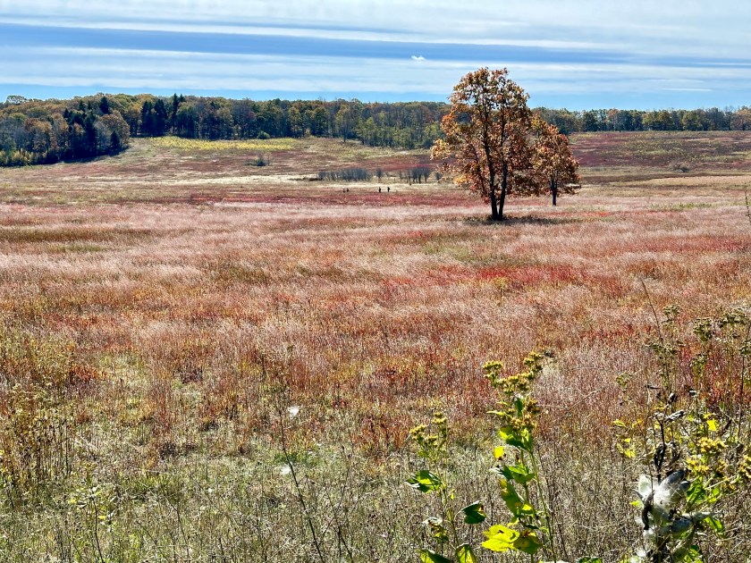
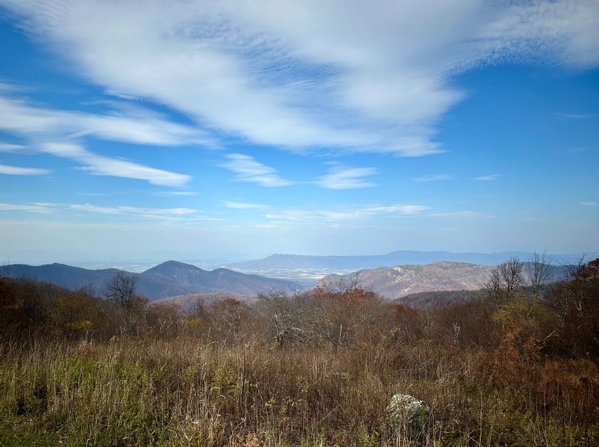
Before the peak of leaf colors.

So, I chose to catch the leaf colors before and after the peak. The park is still busy, but it is tolerable, and I am satisfied with a stirring hike filled with picturesque views, unexpected wildlife, and migrating birds.

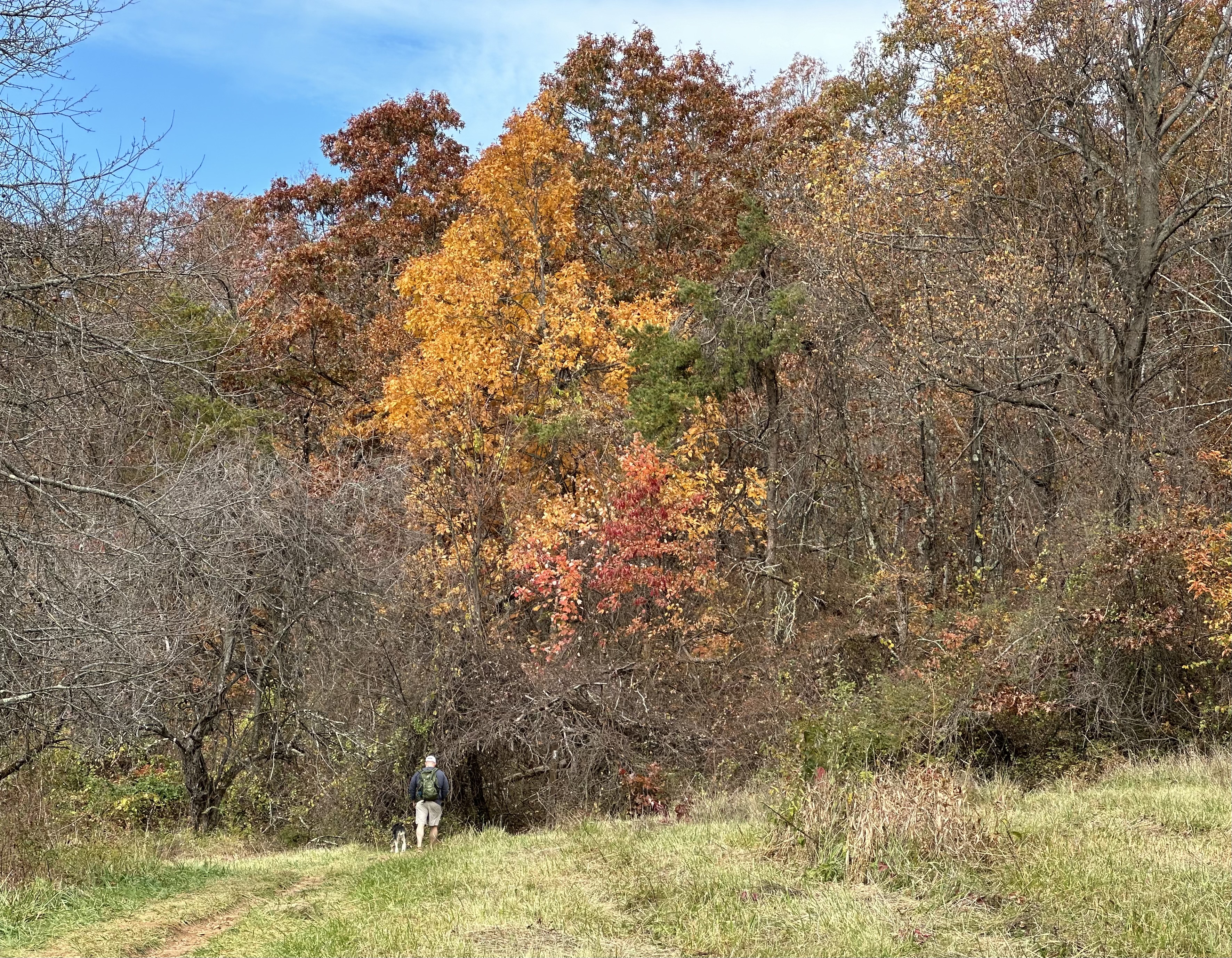
In the mountains, altitude affects the coloring as much as sunshine, cooler nighttime temperatures, and morning frosts. So, the trees might be dull or even bare at the hike’s beginning, and a half mile down the trail, a blaze of color brightens the way.

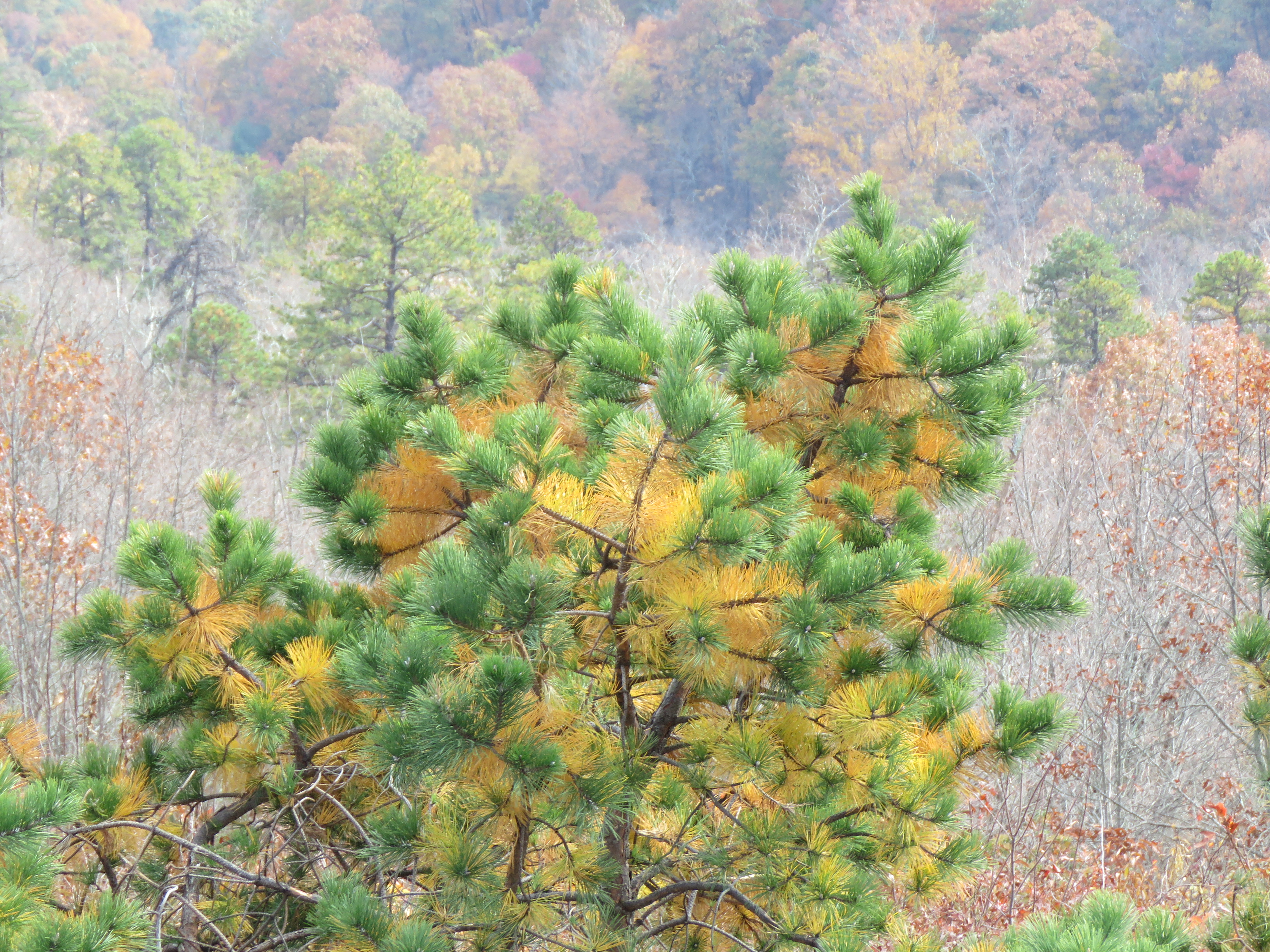
After the peak. Please click on the photos to enlarge them.

Though I have missed the height of the turning leaves, I enjoy the before-and-after with equal zeal. It’s fun to note the differences I discover and meet friendly folks along the way. The park’s beauty has energized them, too.

Besides, I admired nature’s colorful summit in other locales in Virginia’s lovely Shenandoah Valley. It is the perfect place to enjoy hiking, birding, and photography all in one joyous day trip.

A view west into the Shenandoah Valley. Photo by Bruce Stambaugh

© Bruce Stambaugh 2024

Reality vs. Fantasy

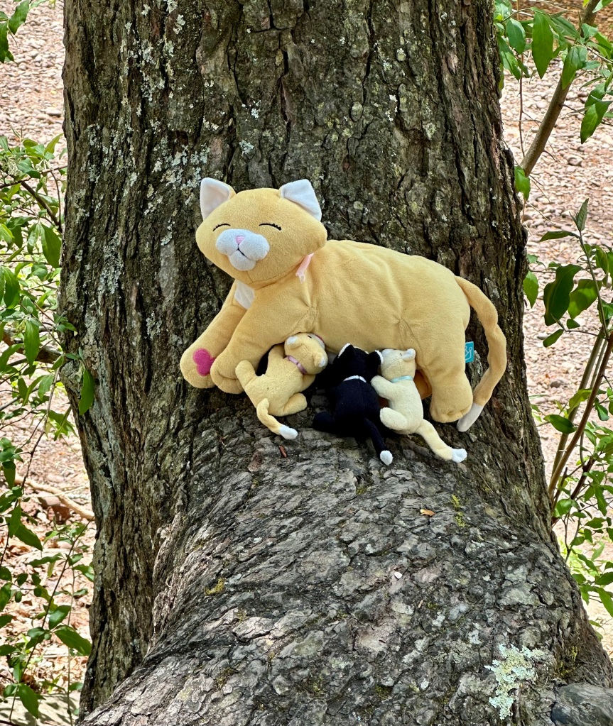
Sometimes, reality is stranger than fantasy. Photo by Bruce Stambaugh

When I happened upon this tender scene, I did a double-take.

My wife and I had joined an entourage from church for a Sunday afternoon of baptisms for three teens in the chilly mountain stream. After the dunkings and the celebratory congratulations shared, I wandered away from the rest of the revelers to see what I could find.

Scores of Pipevine Butterflies and Tiger Swallowtail Butterflies flitted through the woods. They danced carefree from rays of broken sunlight to dense shade, oblivious to the human invaders.

I certainly didn’t expect to find a cat casually nursing three young ones in the forest. And I especially didn’t expect to find a stuffed cat and her young stuffed kittens. But that is exactly what I discovered.

Some children not connected with our group were splashing in the nearby stream. Perhaps one of them thought this wild cherry tree along the banks of the Dry River at the base of Shenandoah Mountain was a lovely and safe haven while romping in the water.

I’ll never know for sure, but this composition of fantasy playthings among nature’s real and evolving habitat was too good not to share.

© Bruce Stambaugh 2024

Celebrating National Park Week

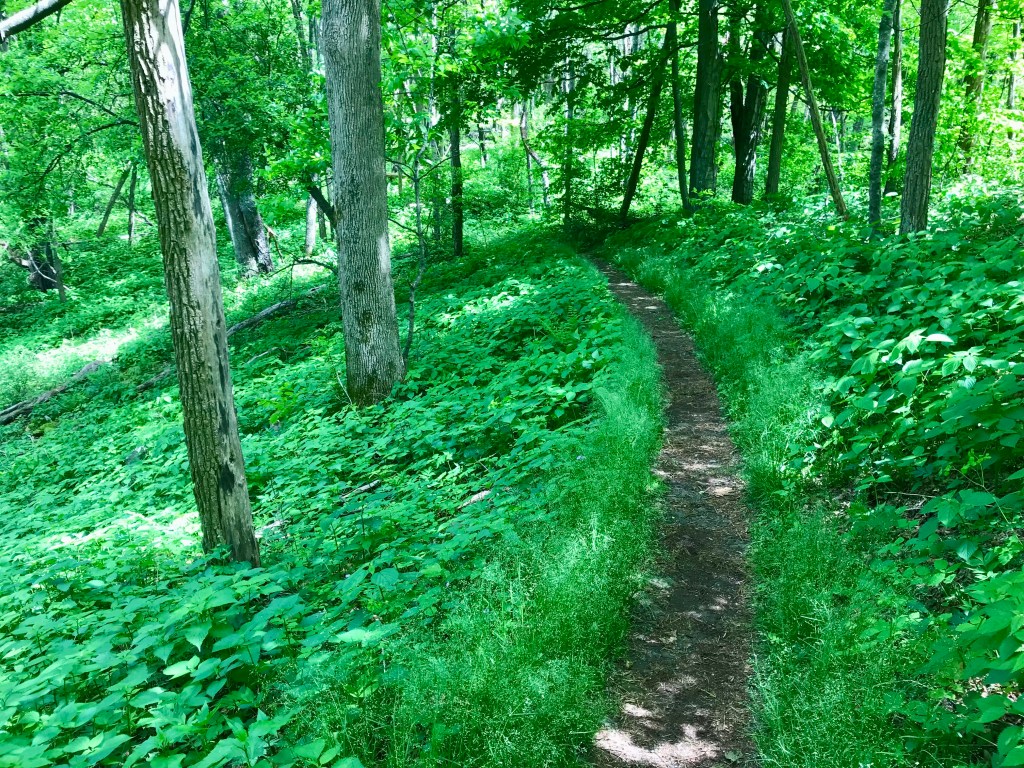
Hiking the Appalachian Trail in Shenandoah National Park. Photo by Bruce Stambaugh

This is National Park Week in the United States. In celebration of our 63 beautiful national parks, this is the first of a series of photos I have taken in Shenandoah National Park.

Shenandoah National Park has a storied and somewhat troublesome history, given how farmers and their hired hands were removed from the park before it was developed starting in late 1935.

Though the land was rugged and steep in many places, over 2,000 folks lived, farmed, and worked on the 198,000 acres that became the first national park in the eastern part of the U.S. Landowners were paid an assessed rate for their property, which the federal government purchased via eminent domain.

Of course, many of the people were tenants who cared for the land, while the property owners lived in the Shenandoah Valley or elsewhere. The tenants received nothing for their inconvenience. Consequently, some of their descendants still have grudges against the government.

Nevertheless, Shenandoah National Park is a popular place to visit since millions of people live within a day’s drive. Plus, the Appalachian Trail (AT) stretches 101 miles through the park, drawing day and overnight hikers. The AT weaves along the crest of the Blue Ridge Mountains, crossing the Skyline Drive several times.

I enjoy day hikes in the park, which often involve hiking sections of the AT to spur trails that lead to waterfalls, rigorous climbs, and scenic overlooks. I especially appreciate the flora and fauna that I encounter.

This photo, taken in late May 2018, represents the lusciousness of the park’s greenery, from ground cover to towering trees. The photo was not altered to enhance the green.

Tomorrow, I’ll post what I saw to the left of where this photo was taken.

© Bruce Stambaugh 2024

Street Photography With a Twist

I love photography. It keeps me alert for the extraordinary while doing the ordinary. In this case, I was with my wife, her cousin, and her husband, all septuagenarians.

We get together every so often about halfway between our home in Virginia’s lovely Shenandoah Valley and their abode in central North Carolina. Lynchburg is a handy place to meet up, a two-hour drive for each of us.

We like many of the same activities, like playing cards, dominoes, antiques, and birding. We also enjoy casual strolls along city streets and well-marked biking and hiking paths. Lynchburg offers plenty of both.

Since we are not out to set any speed records on our walks, I can wander ahead and find the unusual among the usual rural or urban landscapes. Occasionally, I charge ahead too fast, and the others call me back to see what they have found. Together, we discover much to appreciate, ponder, and enjoy.

Take our most recent excursion, for example. Lynchburg is a city of hills and valleys, with a rich history, old buildings, waterways, sidewalks, cobblestone alleys, and lazy trails often following the winding creeks and the James River. One trail even had an old railroad tunnel, now lighted for bikers and hikers. The city is a paradise for photographers.

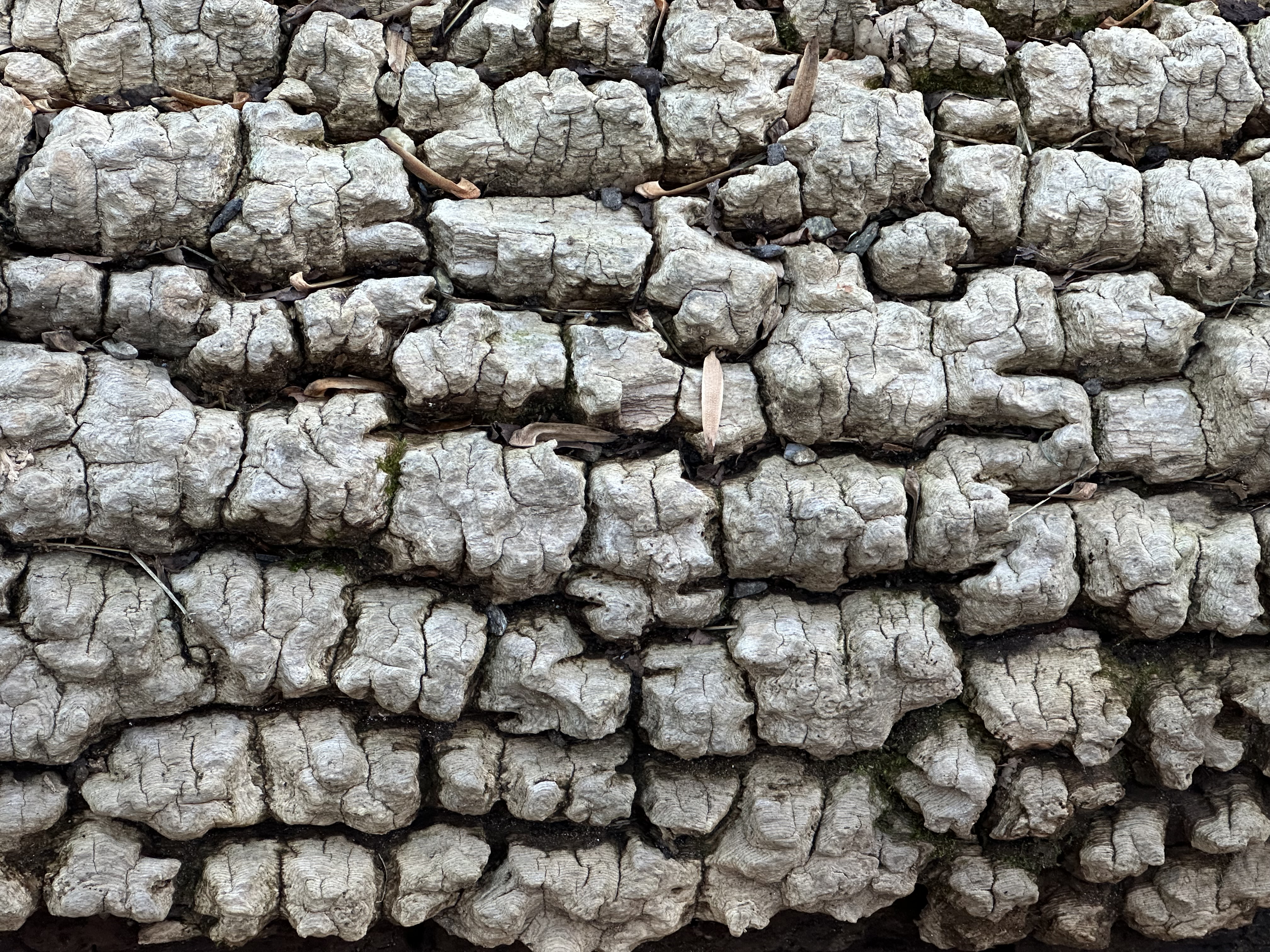
We came upon curious subjects to photograph every path we took. Along a creekside trail, we found this textured object. Any guesses? A tire? An alligator’s back? No to both. There’s a hint in the photo.

This is the closeup of an old fallen tree. The trunk was rotting away while its life-protective bark remained.

Not all photographic opportunities were so secretive. Still, using your imagination is critical. This old snag has stood the test of time, and the elements of four seasons have weathered into a once-living art object. Does anyone else conjure an owl flapping its right wing?

Speaking of living, this diminutive plant waved its once-green leaves red for the holiday season that is upon us. It is a volunteer burning bush, likely deposited by a seed-eating bird. There was no missing the bright color among all the trail-side leaf litter.

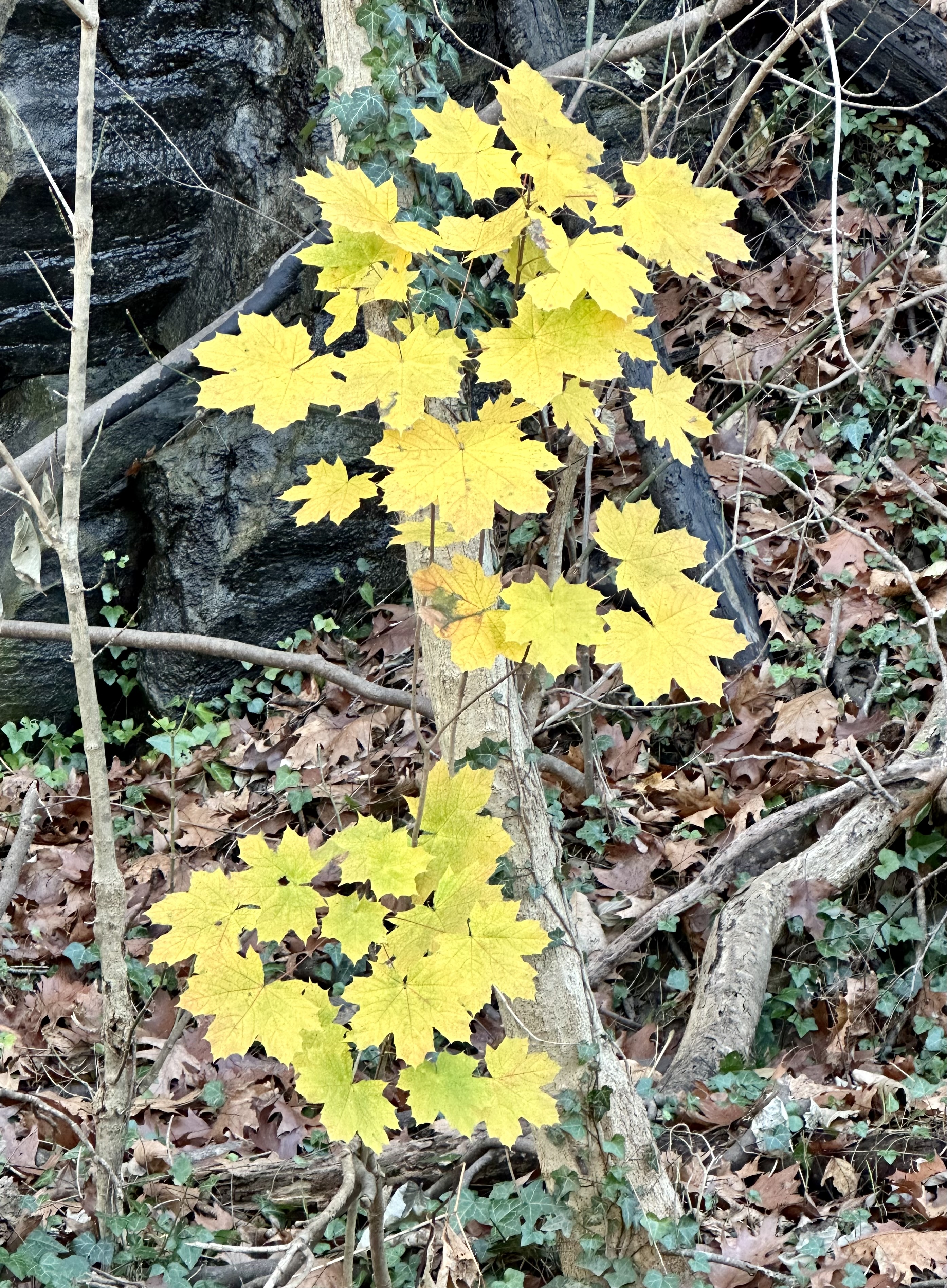
A short distance away, a competitor vied for attention. This sugar maple sapling shown like the sun on this dismal day. It made us all chuckle.

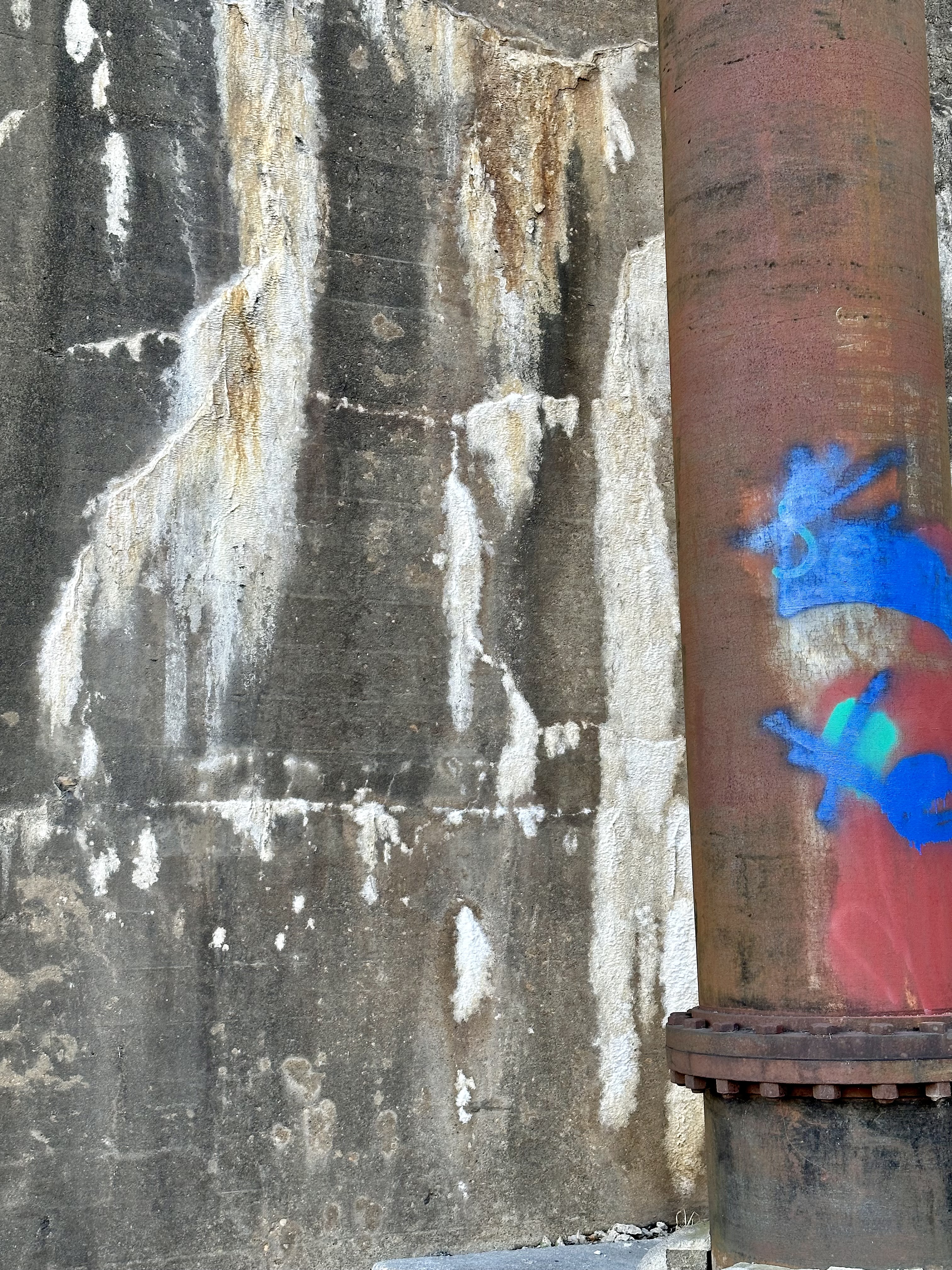
Not everything was so obvious, however. This photo has a complex combination of both natural and human-made actions.

Any idea what this abstract consists of? Look close. What’s on the left side? You are halfway home if you said a rock outcropping leached with calcium-laden groundwater. The right section is an old drainpipe. Some wannabe artists eliminated the plain rusty look by adding some pretty red and blue with a meaning. Those colors covered up some previous graffiti in faded white.

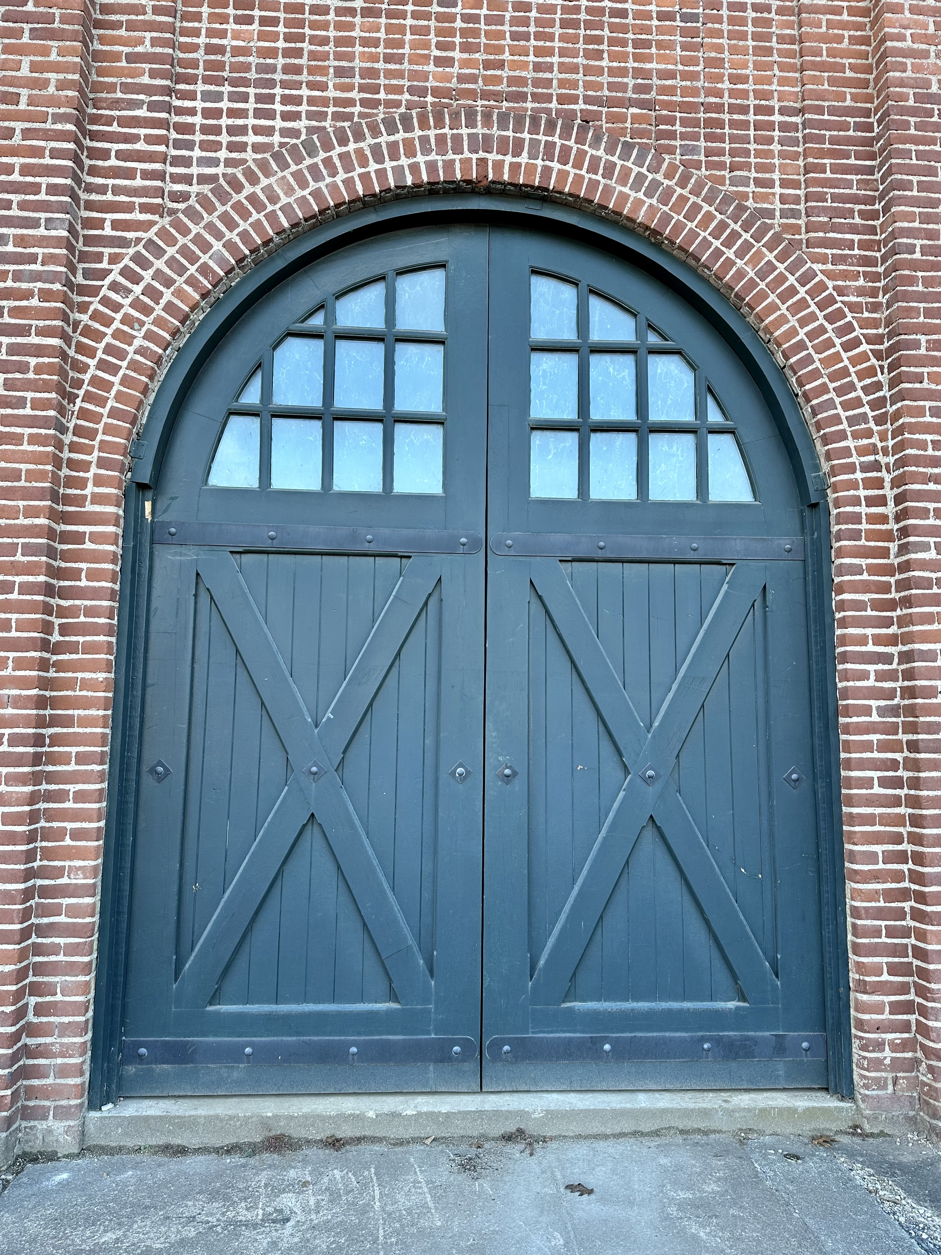
That pipe was a hint for us. The city lay just around the corner. We soon found this intriguing old set of double doors in a two-story brick building, likely once a warehouse during the railroad’s heyday. It faced the James River. The nearby trail was once a rail line.

A few steps away was a nearly block-long mosaic timeline of the history of Lynchburg. The blight of slavery was front and center. It’s an incredible piece of artwork often blocked by parked cars. This photo shows the intricate detail needed to tell the town’s story. I couldn’t imagine the time and effort it took to create this masterpiece.

We headed to the Amtrak train station away from Old Town. The building was magnificently reconstructed and expanded to hold city offices that had nothing to do with trains. We had a look around and came across some interesting finds.

An old luggage hand cart parked against the sturdy brick building caught my eye. No longer used, it can’t help but take train passengers and visitors back in time.

Across the street, an abandoned building seemed frozen in time. Dozens of solar bobbleheads danced behind a window in the late autumn sun. It was a curious collection that seemed abandoned, left to survive without human help.

This wasn’t our first rendezvous in Lynchburg with our friends. Given all there is to do, see, and photograph, it won’t be our last.

© Bruce Stambaugh 2023

A Photo Essay: Following the Path of Apostle Paul – Day 9

A typical back alley in the Old Medieval city of Rhodes.

We landed in Rhodes well after dark. We hauled our luggage off the ferry, along the Old City wall, through an ancient gate, and along the inside of the wall to our hotel. The medieval city is a UNESCO World Heritage site.

Because the boutique hotel didn’t have enough rooms for our group of 24, some of us were assigned to other properties farther up the hill and around a corner to our little abode for the next two nights. Ironically, we spent only one full day in this walled paradise, much like the Apostle Paul, according to Acts 21: 1.

On this leg of our journey, we followed the exact path of Paul on his third and final missionary trip and return to Jerusalem. After leaving Kos, his ship stopped in Rhodes and then to Patara.

The memorial to the Rhodes Jews killed in World War II.

After breakfast, our group first headed to Hippocratous Square, where a memorial stood to the 1,604 Jews from Rhodes who were murdered by the Nazis in concentration camps near the end of World War II. To me, it also served as a symbol of the history of persecution of peoples throughout history until our current time.

We headed outside the wall along the harbor’s edge to St. Paul’s Gate. On the way, we saw a section of the now-dry moat surrounding the Old City. Beneath the shade of a large tree, Linford focused on the importance of Rhodes during the Crusades. Because of its strategic location in the southern Aegean, Rhodes was an important trading city and a desired military location.

Please click on the photos to enlarge them.

We marched up the steep incline of the Avenue of the Knights, with its pebbled cobblestones, to the Palace of the Grand Master. The Old Town owes its present-day appearance mainly to the Knights of St. John from the 14th and 15th centuries AD. The Knights closely followed the city’s Hippodamean grid plan, and sometimes, some streets follow the exact route of the 5th century BC streets. The main street today, Sokratous Street, was also the main commercial street in the Hellenistic period.

My wife and I toured the castle for an hour, marveling at its many striking mosaics, opulence, and thick stone walls. Unfortunately, by the time we exited, I wasn’t feeling well at all.

We decided to head back to our apartment. We walked through one marketplace after the other and stopped to rest and have a light lunch and beverage. Returning to our little abode and relaxing in the quiet courtyard was good. We only had to look up to see the old wall surrounding the town.

Please click on the photos to enlarge them.

We also had to watch when we exited our little villa. After opening the protective iron gate, we entered a busy, narrow street. We squeezed against the stone walls as motorbikes and cars whizzed by. I was intrigued with where and how the vehicles were parked in a town built long before motor-driven transportation. The answer was they parked where they could and sometimes where they shouldn’t.

We finished our time in Rhodes with a group meal served by the chef at the boutique hotel. We needed to get to bed early since we had an early flight back to Athens and a connecting flight to Rome, our next destination.

Tomorrow: On to Rome.

Trees are greatly appreciated for their cooling shade on a hot afternoon.

© Bruce Stambaugh 2023

Bay Photos by Donna

Wildlife Photos From The Chesapeake Bay Region

ROAD TO NARA

Culture and Communities at the Heart Of India

K Hertzler Art

Artist and nature journalist in the Shenandoah Valley of Virginia.

Maria Vincent Robinson

Photographer Of Life and moments

Gabriele Romano

Less Noise. More Meaning

Jennifer Murch

Art is the only way to run away without leaving home. -Twyla Tharp

Roadkill Crossing

Writing generated from the rural life

ANJOLI ROY

writer. teacher. podcast cohost.

Casa Alterna

El amor cruza fronteras / Love crosses borders