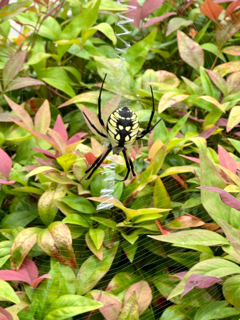
The Yellow Garden Spider on its web. Photo by Bruce Stambaugh
I’m not sure how long the Yellow Garden Spider had been there. Friends visiting from Ohio spotted it one morning as we headed out to explore our area of the Shenandoah Valley.
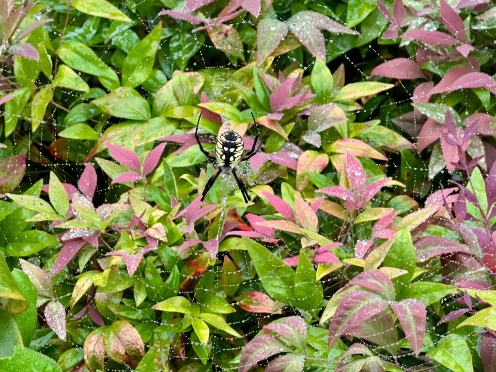
On a foggy morning, I found the spider’s intricate web dotted with dewdrops large and small. The sparkling display surrounded the arachnid like stars in the night sky. The spider, also known as a Black-and-yellow Argiope, was a giant, one of the largest the four of us had ever seen.
The spider’s web hung from the lamppost over the nandina bushes at the end of our front sidewalk. Several wrapped-up victims accompanied the sparkling dewdrops.
It was a fun way to start our day.
The Yellow Garden Spider. Photo by Bruce Stambaugh
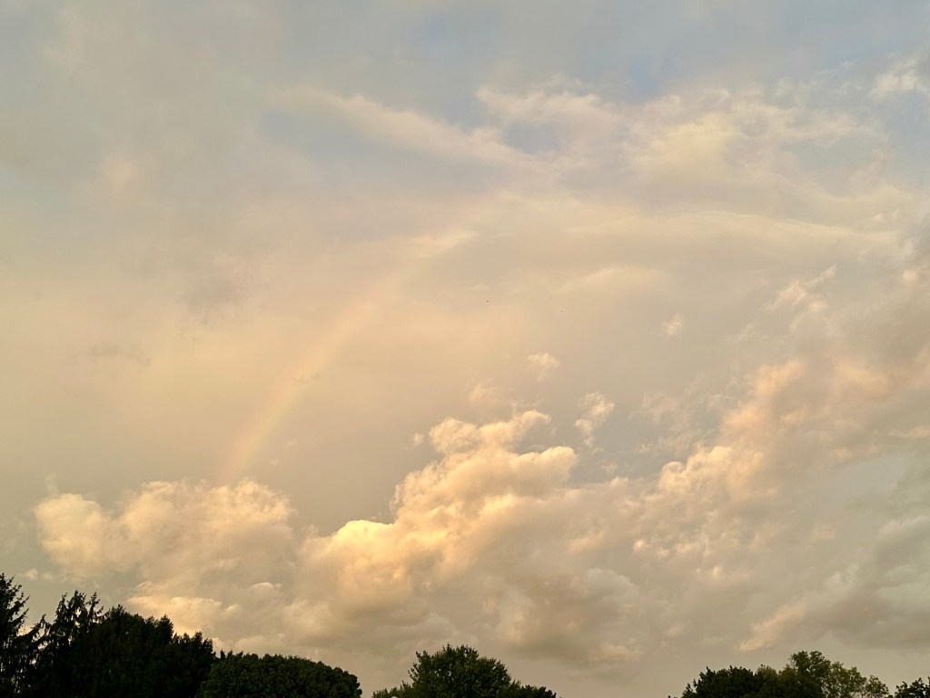
A faint rainbow at sunset. Photo by Bruce Stambaugh
The weather forecast didn’t call for it, but last night the westernmost edge of the significant nor’easter covered Virginia’s Shenandoah Valley just before sunset.
My wife and I were watching Major League Baseball when I noticed an eerie orangeish color in the northern sky. I rushed outside and spotted a faint rainbow in front of thick clouds in the eastern sky.
I grabbed my camera and headed to a farm with a clearer view to the west. The sun had already set behind the Allegheny Mountains, illuminating a few rogue clouds.
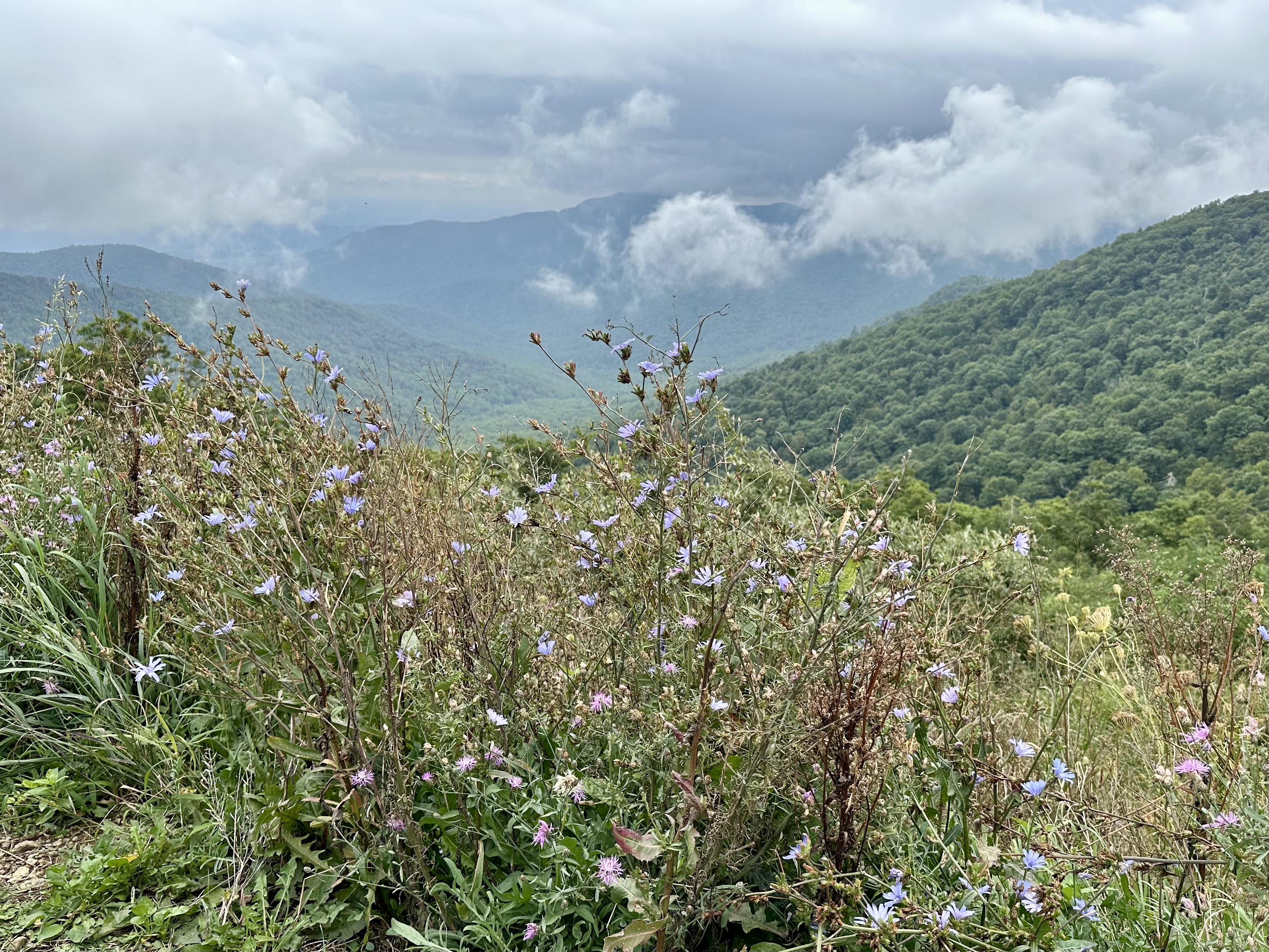
The fog rolled in at Big Meadows in Shenandoah National Park. Photo by Bruce Stambaugh
Our Ohio friends wanted to visit Shenandoah National Park. The weather was less than cooperative. We ventured out anyway.
On our way to the park, a deck of low clouds obscured our view of the Blue Ridge Mountains, where Shenandoah National Park is located. We pressed on. The dismal weather couldn’t deter our friends from wanting to experience this national gem for the first time.
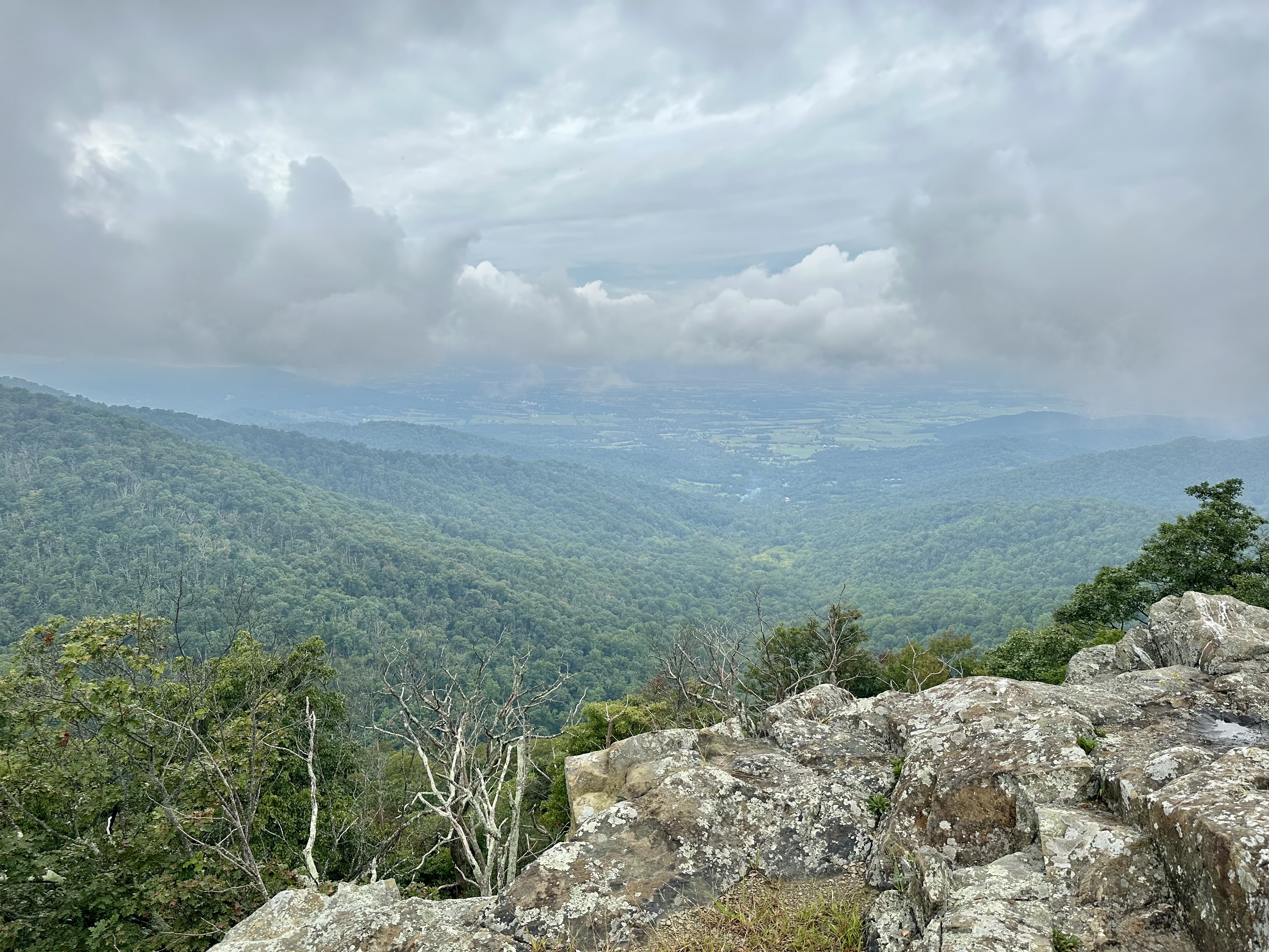
Once in the park, clouds rolled across the mountain landscape, obscuring most of the views of Shenandoah Valley from the several overlooks along Skyline Drive. Occasional rain dotted the windshield as we climbed higher.
Since our friends enjoy camping, I pulled into the historic Lewis Mountain Campgrounds. During segregation, this was the only area that allowed Blacks to be in the park. Today, it has maintained its rustic look with a camp store, several woodsided cabins, and campsites for tents and campers alike.
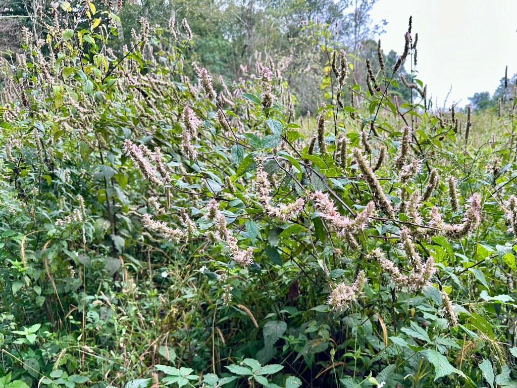
Mountain Mint at Milum Gap along Skyline Drive. Photo by Bruce Stambaugh
We stopped at Milum Gap, where the Millprong Trail connects with the Appalachian Trail a stone’s throw from the Skyline Drive. Honeybees and bumblebees buzzed at the late-blooming mountain mint blossoms.
We soon arrived at Big Meadows, and just as we exited the vehicle, clouds skirted across the landscape like a chilling phantom. We walked around anyhow.
However, the rain drove us back to the SUV, and we explored the expansive Big Meadows campground with many campsites, shower facilities, and a camp store. Our friends were impressed.
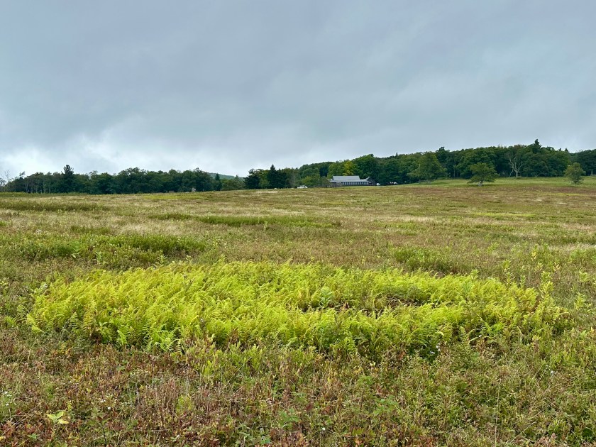
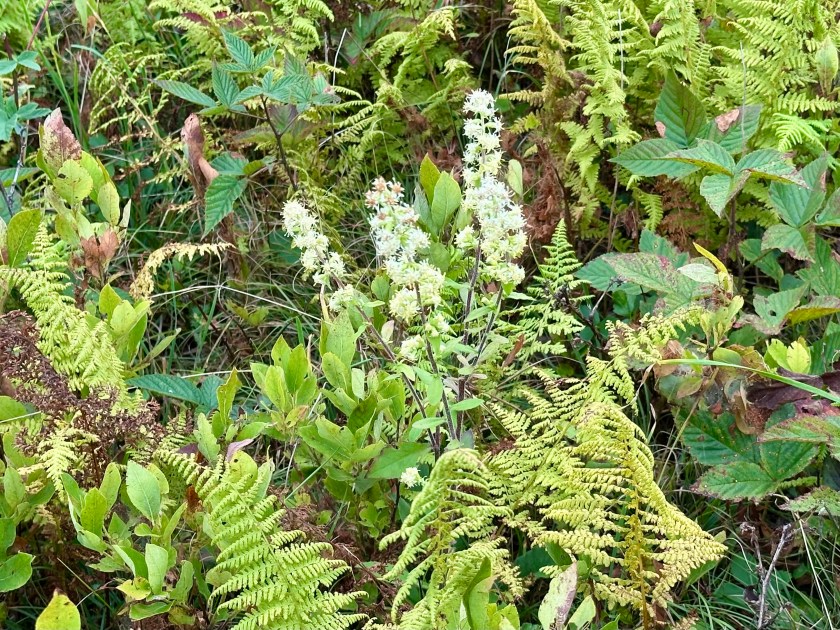
A fern circle in Big Meadows. Photo by Bruce Stambaugh
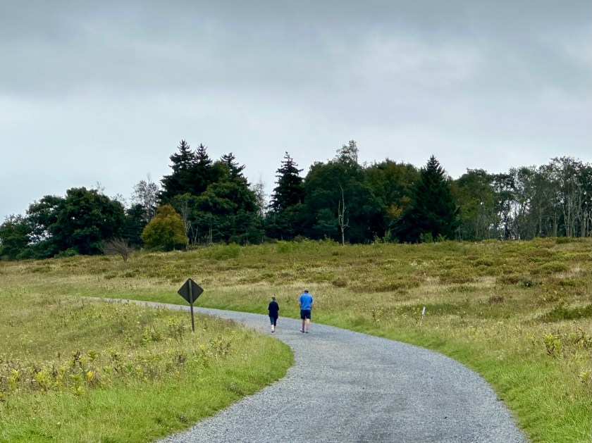
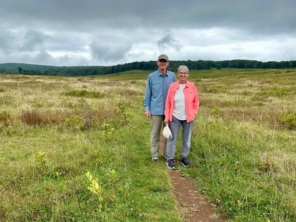
As we returned to the sweeping, prairie-like bowl of Big Meadows, the rain turned to a light mist. So, we chose a path and began to explore. Every time I see Big Meadows, I am always impressed with its expansiveness and the array of colors, even without bright sunshine.
In fact, the low, silvery cloud cover seemed to enhance the plants and flowers we encountered. The simple beauty beckoned us in, and we obliged.
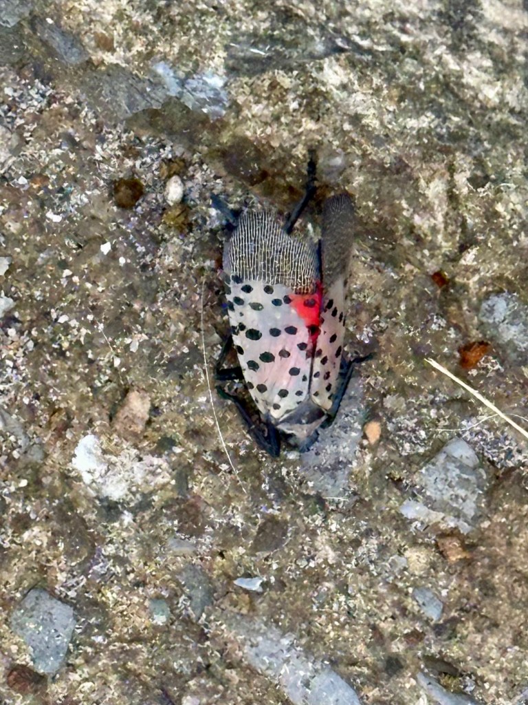
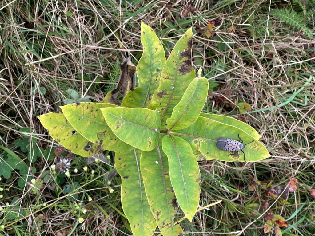
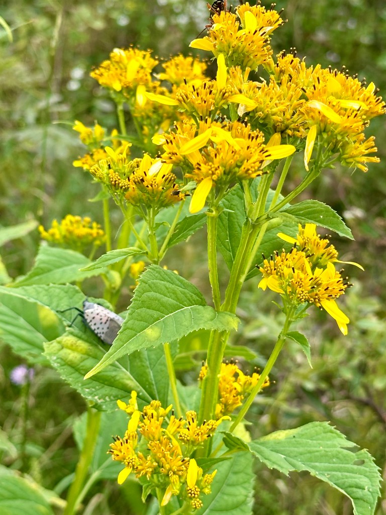
We had only taken a few steps on an established path when we spotted several Spotted Lanternflies clinging to the season’s second-growth Common Milkweed plants and other plant stems. Quick as they are, we still killed a couple of dozen of the invasive species that destroy woody plants and trees.
One of the Spotted Lanternflies we killed.A Spotted Lanternfly on Common Milkweed.
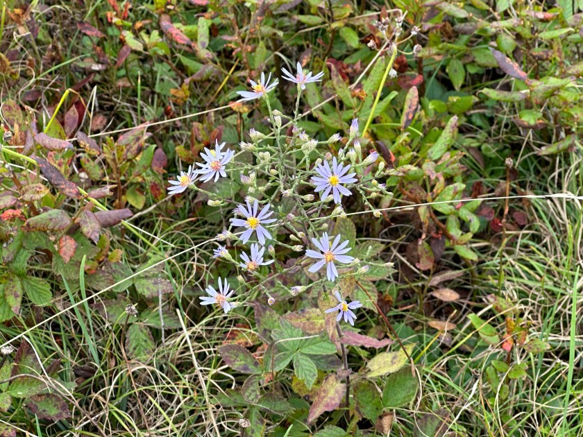
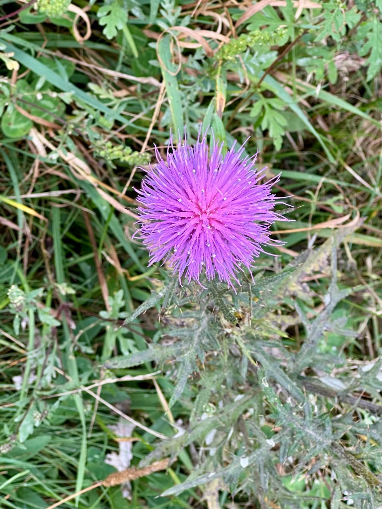
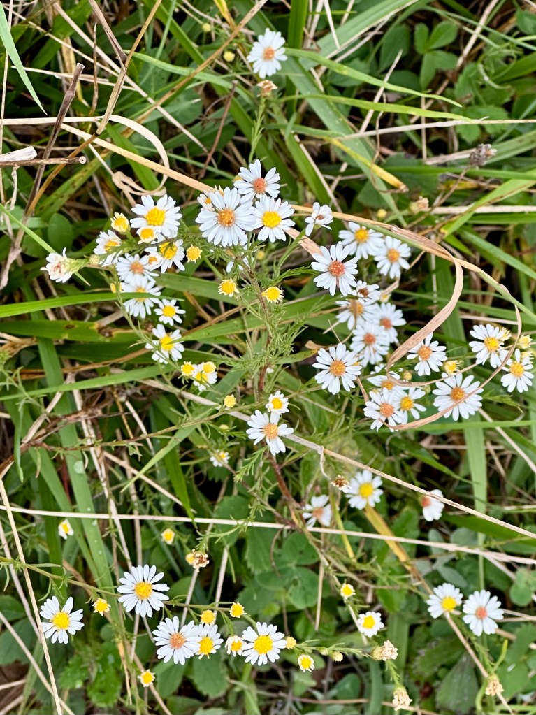
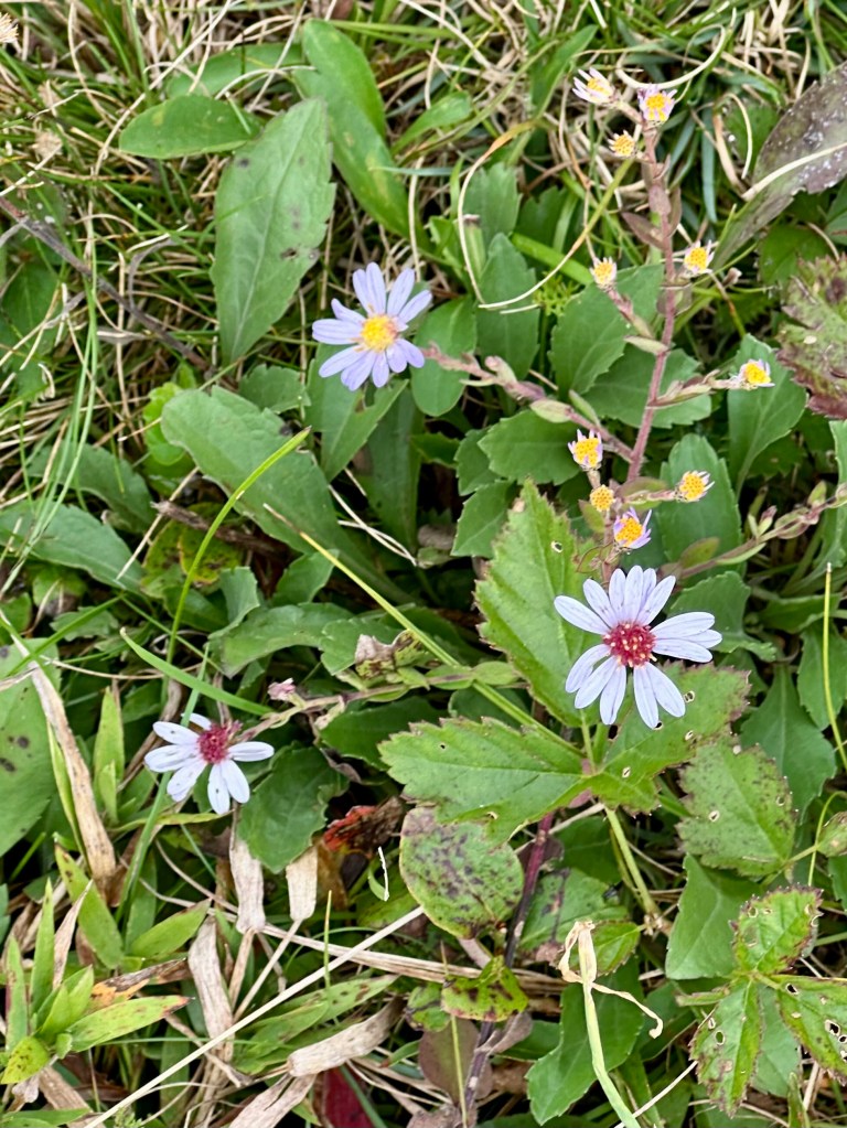
Still, we marveled at the russets, browns, and various greens of September. We admired many blooms and snapped photos to identify them later.
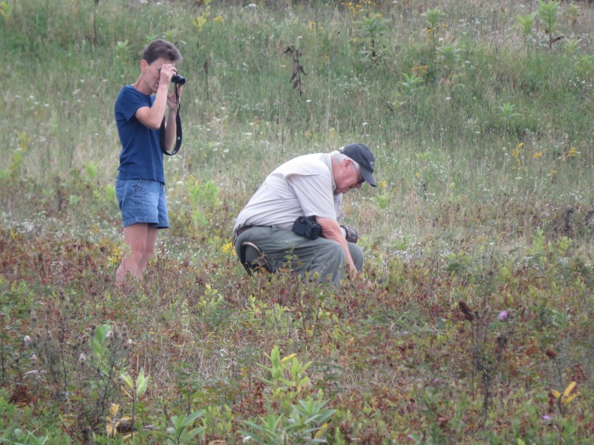
On another path across the way, we noticed another couple. The man was bent over, photographing something low to the ground. His partner stood behind, scanning the area with binoculars.
At first, I thought she was looking at birds. But the unseasonably cool, damp weather even kept the birds sheltered and quiet.
Curious, we approached the couple, who were more than happy to share their finds with us. The man pointed out the ginseng blossoms we saw him photographing.
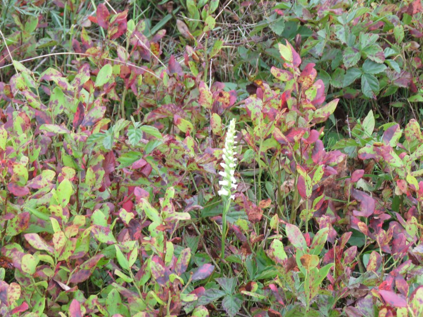
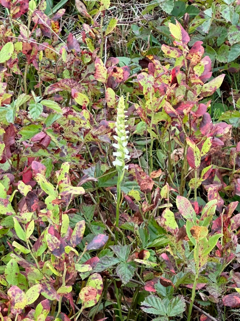
Using her binoculars, the woman excitedly exclaimed that she had spotted one of 60 of Virginia’s native orchids. We walked several yards together before we arrived at the lone, spiky bloom of the Ladies Tresses.
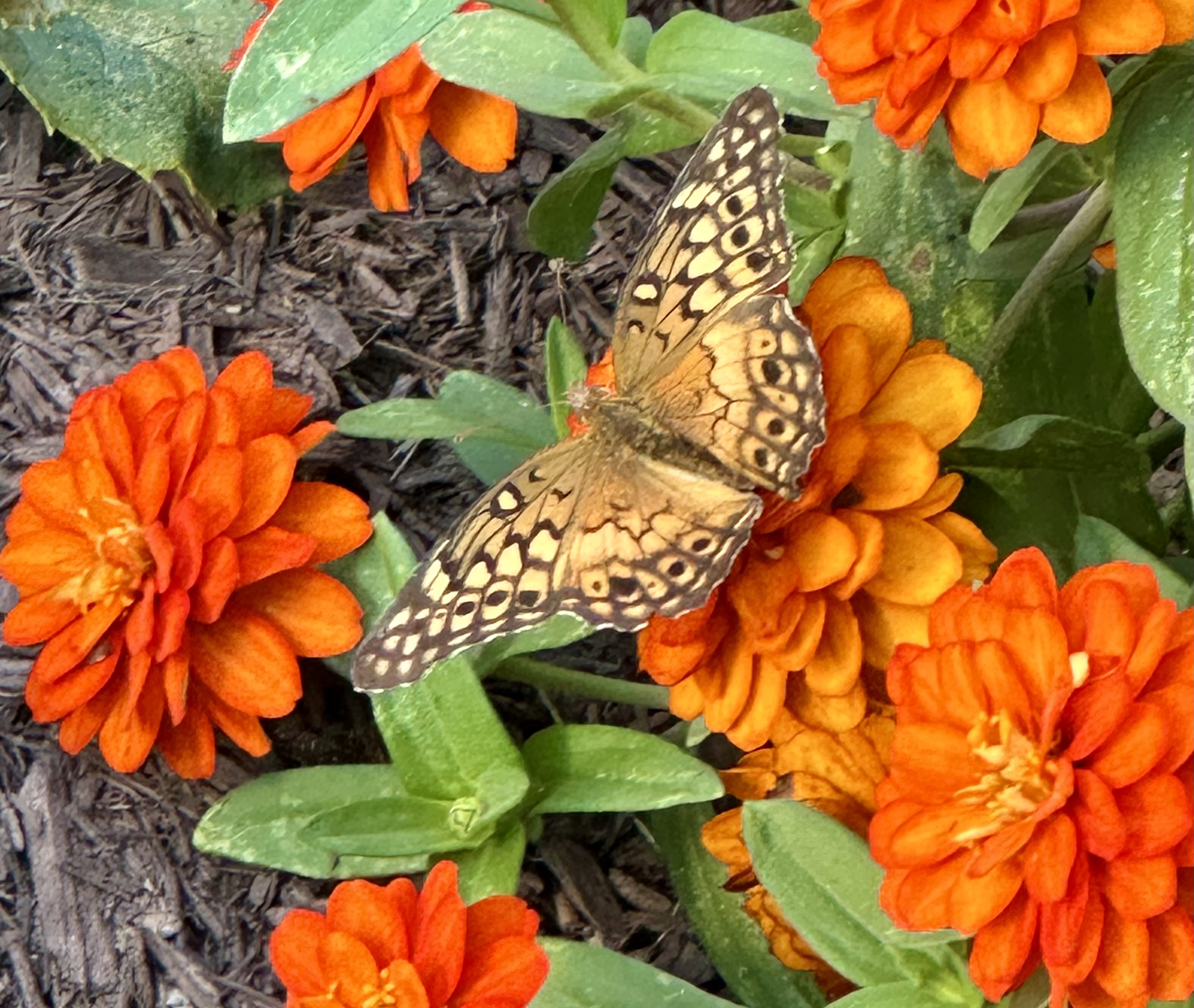
Soon, a Meadow Variegated butterfly landed nearby. I had never seen one before. It posed nicely for a photo.
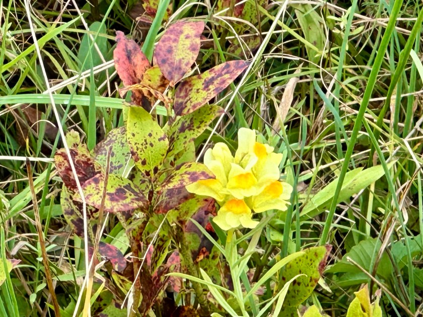
Then the amateur botanists sighted what they called a “butter-and-eggs” flower. This time we walked even farther and came upon a small area where the yellow and orange flowers flourished. Its official name is Yellow Toadflax, but it’s also called wild snapdragon. I learned later that it is a highly invasive plant.
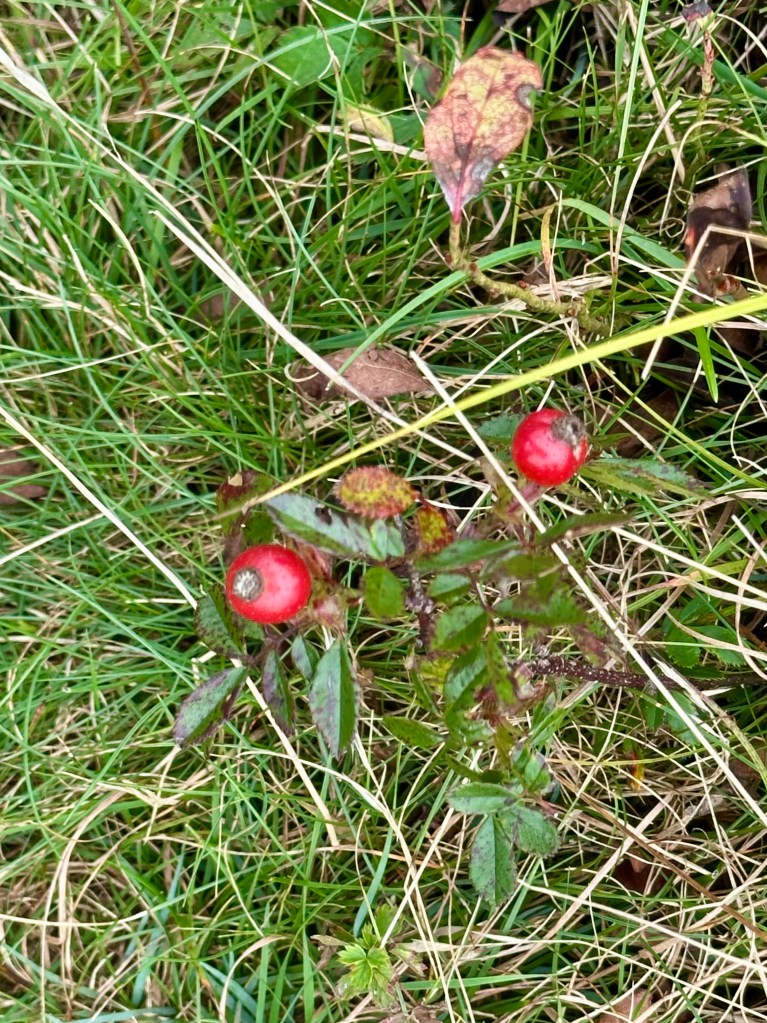
I found some rosehips along the path back to our vehicle. It looked like Christmas, with their rosy red berries contrasting with the plant’s shiny green leaves. Spiky Burnet flowers grew nearby.
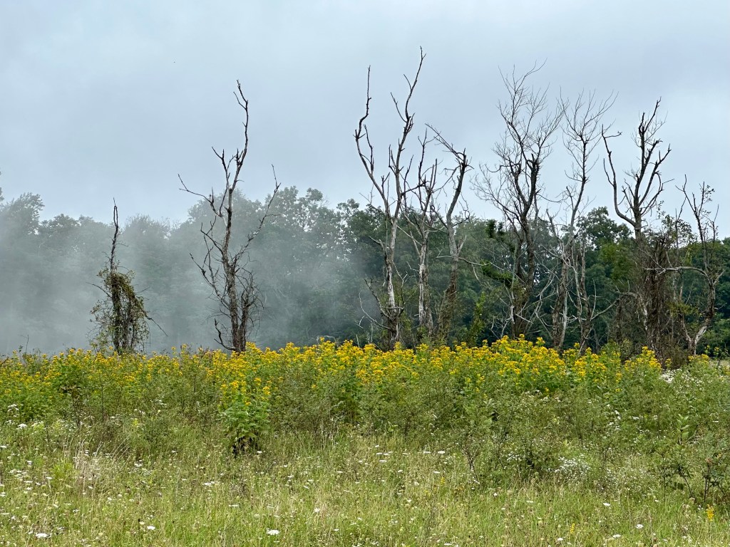
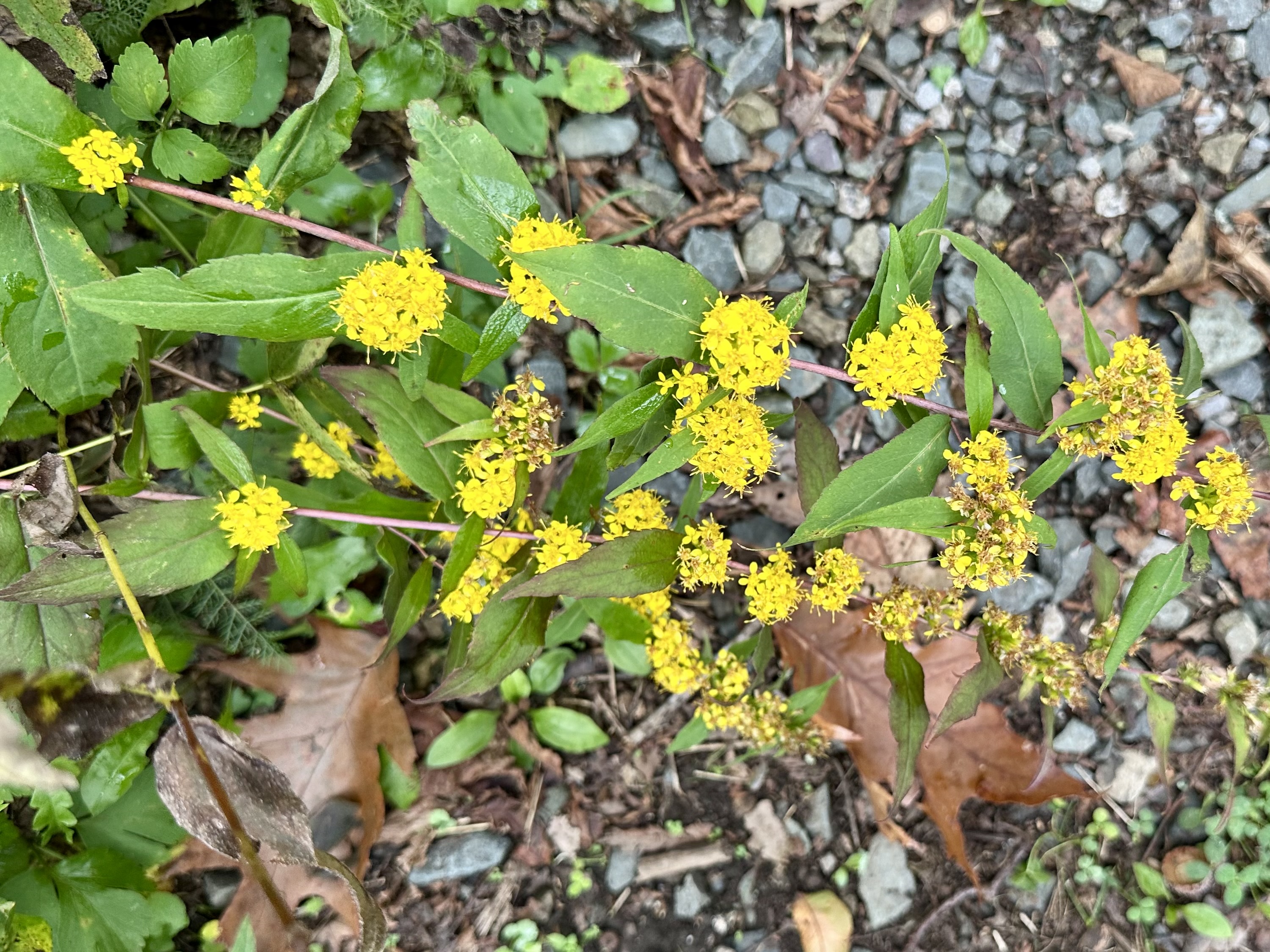
Stands of Goldenrod dominated open areas beyond Big Meadows, and especially along the road. Yet, we saw few in the high-elevation grassland of Big Meadows.
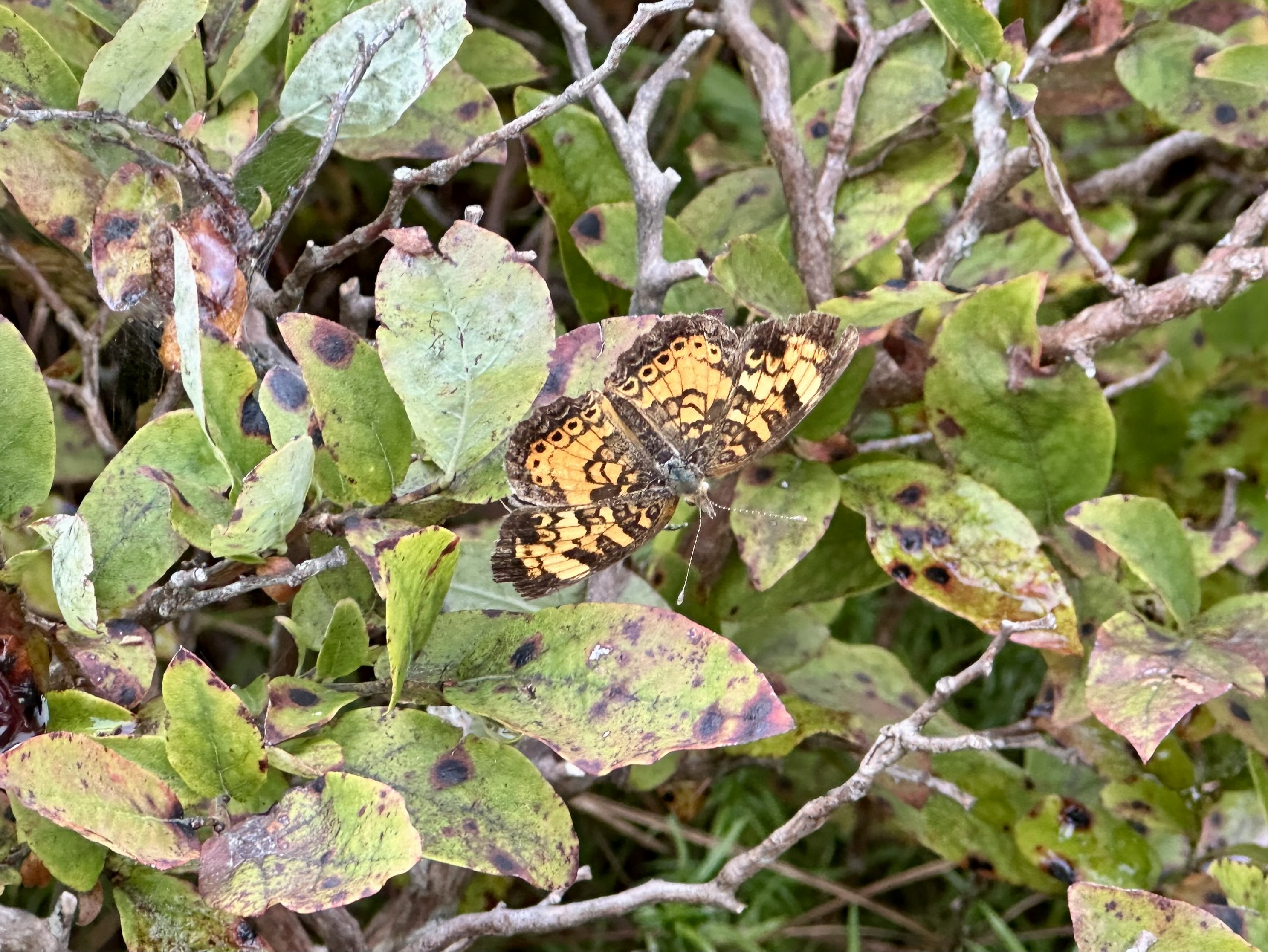
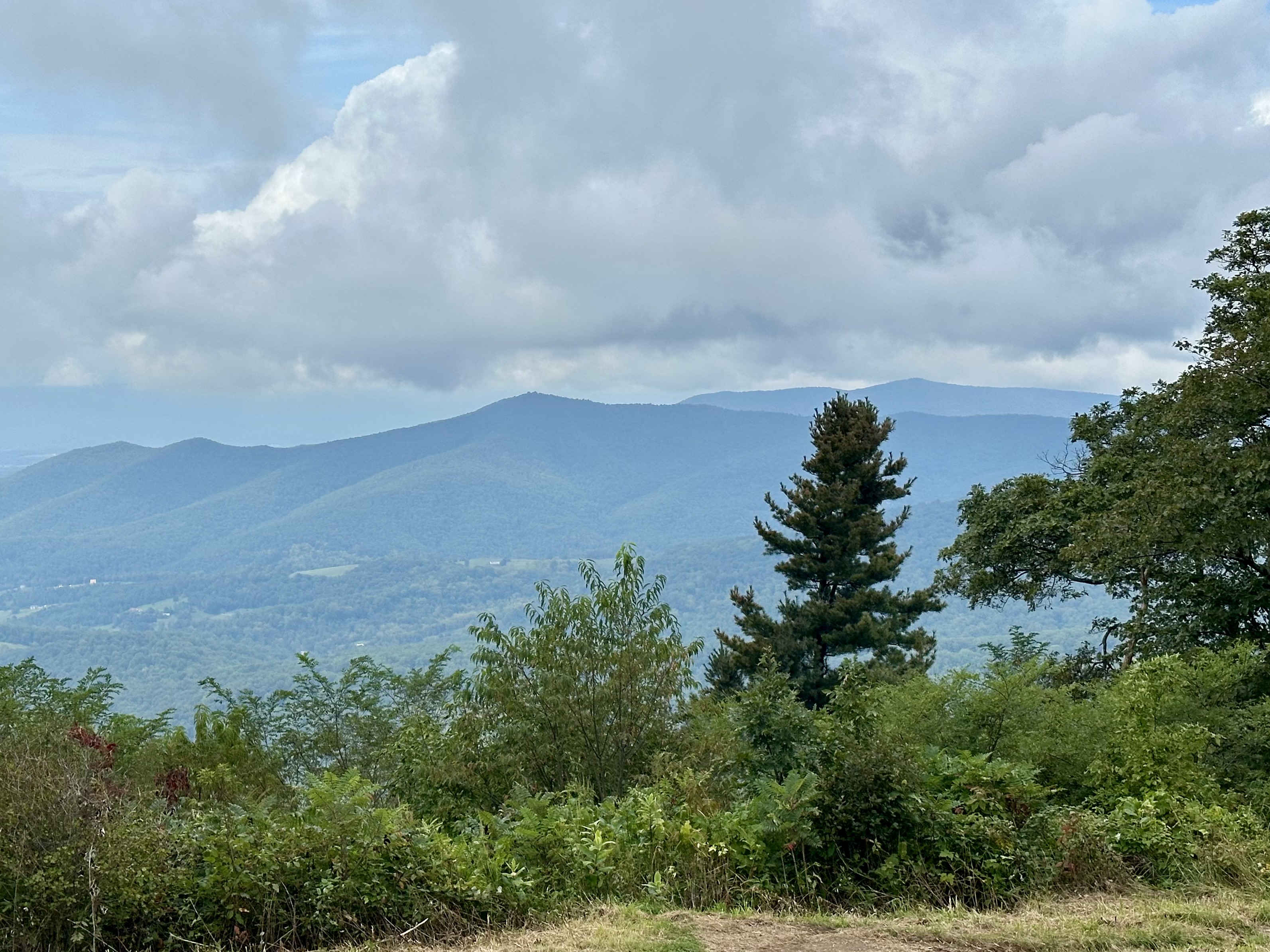
After basking in Big Meadows’ offerings, we headed north on Skyline Drive, hoping to find openings in the clouds at overlooks. We found a few and enjoyed the views before the clouds rolled back in. We took a short hike at Franklin Cliffs, and I found a Pearl Crescent butterfly resting on a blueberry bush.
Sadly, we also found the park trails sorely lacking maintenance, mostly because of the major staff and funding cuts implemented last year. Weeds and tree limbs, normally trimmed before the federal funding cuts, overhung the trails.
Despite the wet weather and chilly temperatures, our friends enjoyed their introduction to Shenandoah National Park. They assured us that they would be back.
We look forward to seeing them again, especially in that natural setting.
Our friends in Big Meadows. Photo by Bruce Stambaugh
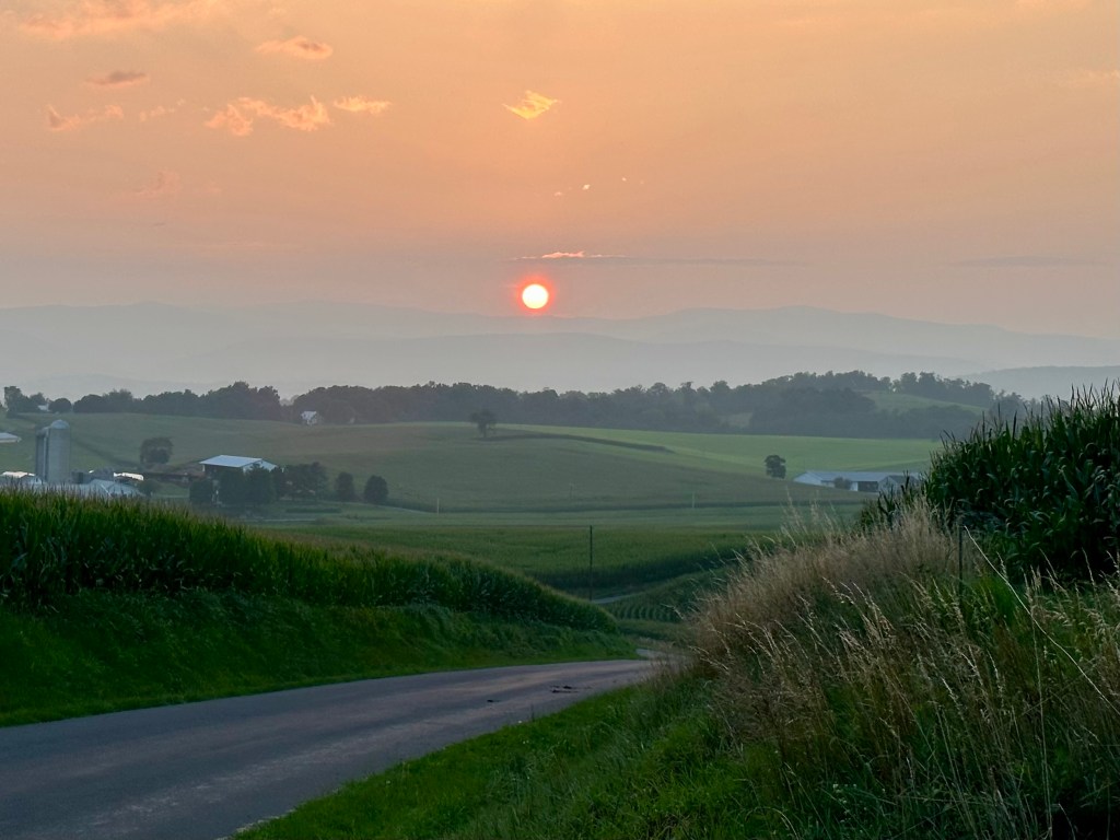
The autumnal equinox arrives at 8:05 p.m. EDT. This means the sun will set due west this evening. In the U.S., tomorrow begins the first full day of fall.
Many people believe that the equinox brings an even amount of daylight and darkness, but that is a myth. This year, that occurs on Saturday, September 26, and is called equilux. The word is drawn from Latin equi (equal) and lux (light).
As hot as it was early on, summer has flown by. Welcome autumn.
The sun sets due west on the autumnal equinox. Photo by Bruce Stambaugh
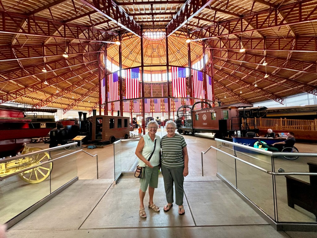
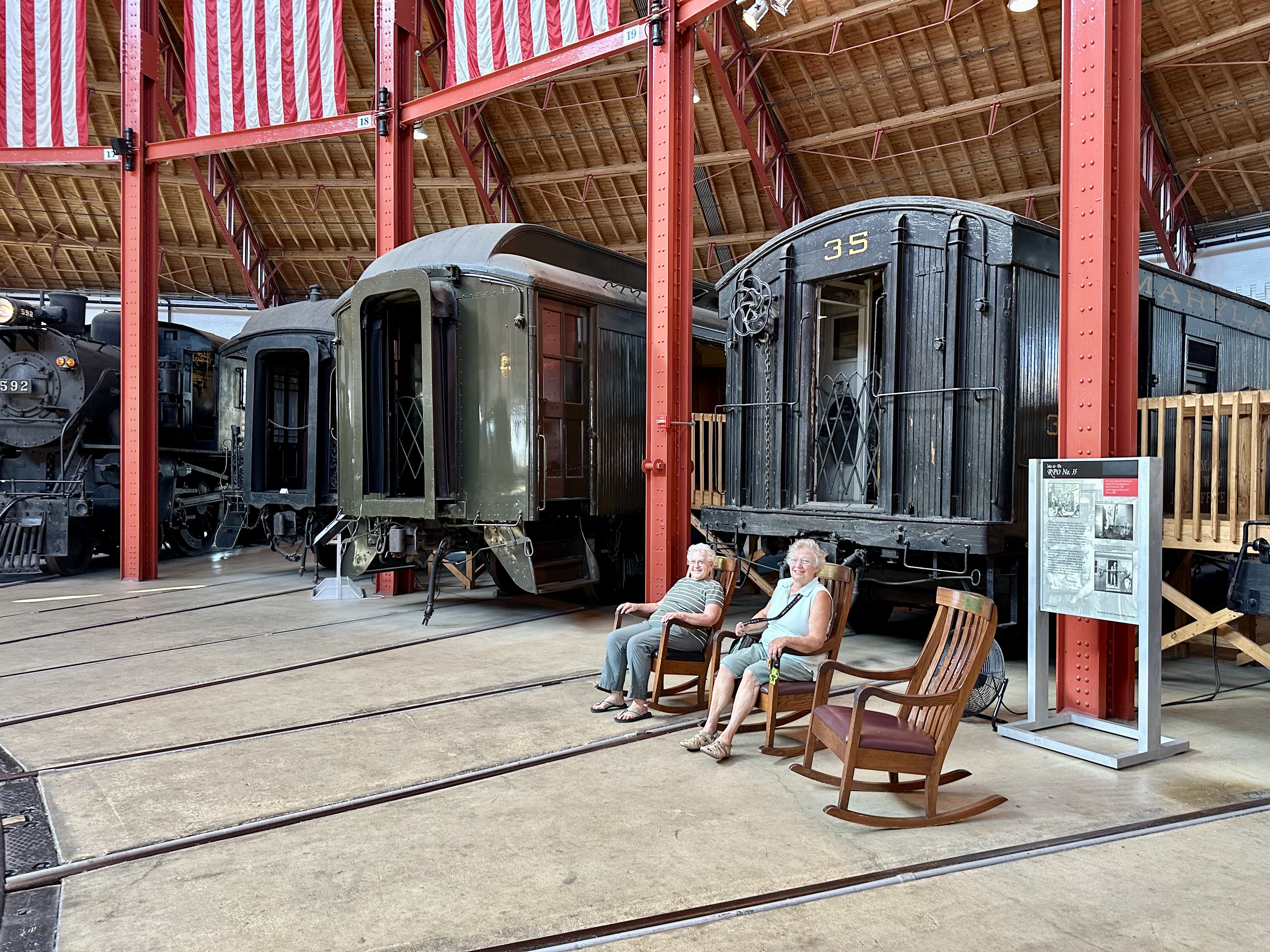
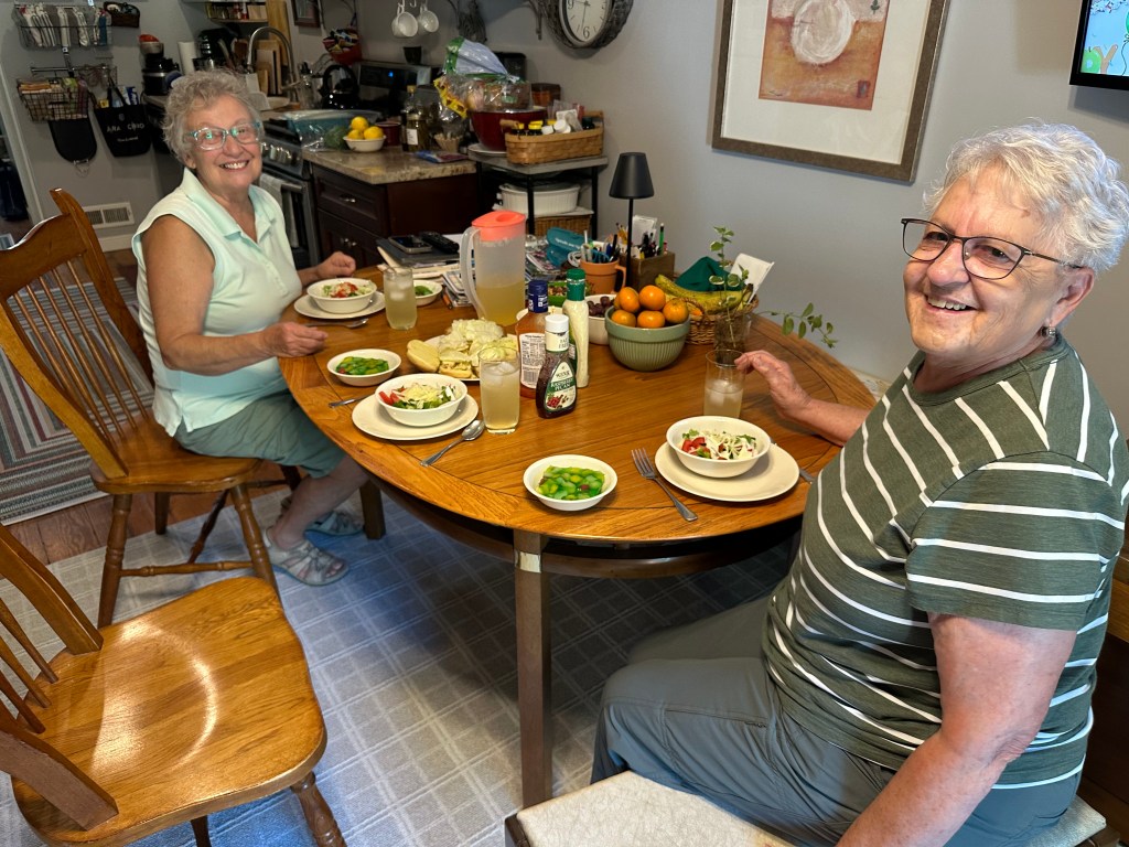
Our friend, Diana, and Neva at the Baltimore Railroad Museum. Photo by Bruce Stambaugh
Thanks to our host, my wife and I crammed a lot in on an overnight trip to Baltimore, Maryland. We went there to watch the Cleveland Guardians play the Baltimore Orioles. Diana, our host, had other ideas.
If the traffic behaves, it’s a three-hour trip to Baltimore from our home in Virginia’s Shenandoah Valley. We arrived right on schedule.
After a lovely summer lunch, we headed out into near 90-degree heat to visit a couple of venues Diana thought we would like. She was spot on.
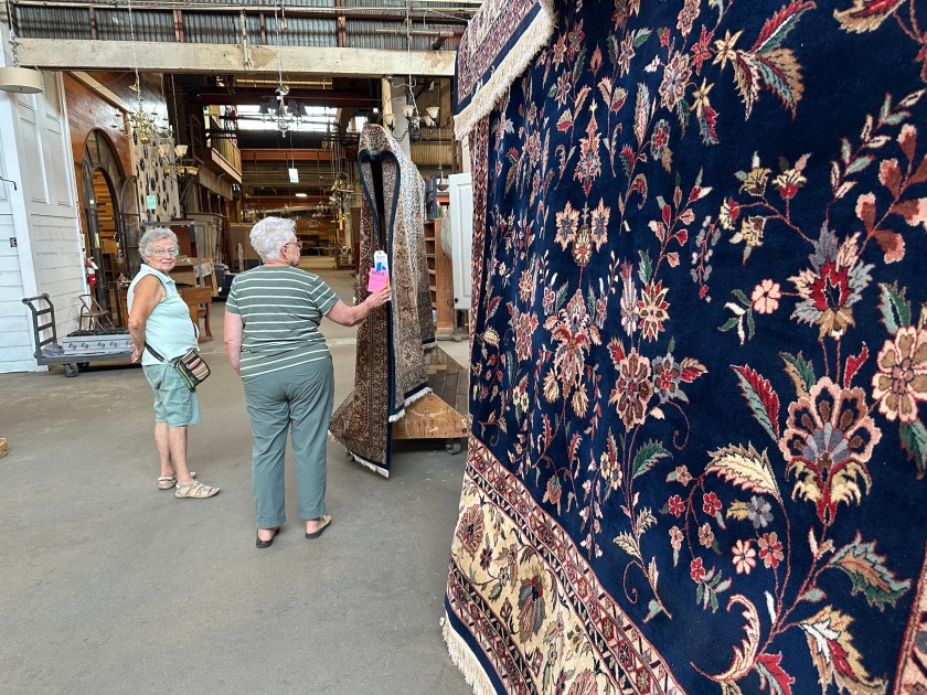
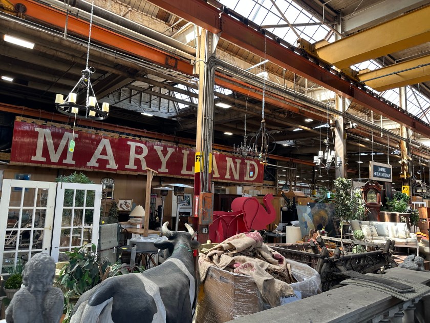
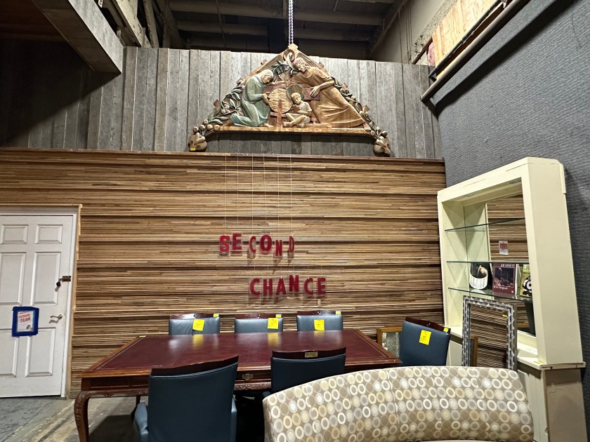
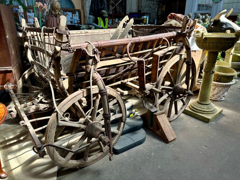
First up was the perfectly named Second Chance warehouse, where used goods of all kinds are for sale to individuals and contractors alike. The place was massive. Customers can buy good used items, from furniture to radiators to old-growth lumber to vintage signs.
We wandered from aisle to aisle browsing the thousands of items available. Of course, the former steel manufacturing plant wasn’t air-conditioned, so we headed for the second spot when we got too hot.
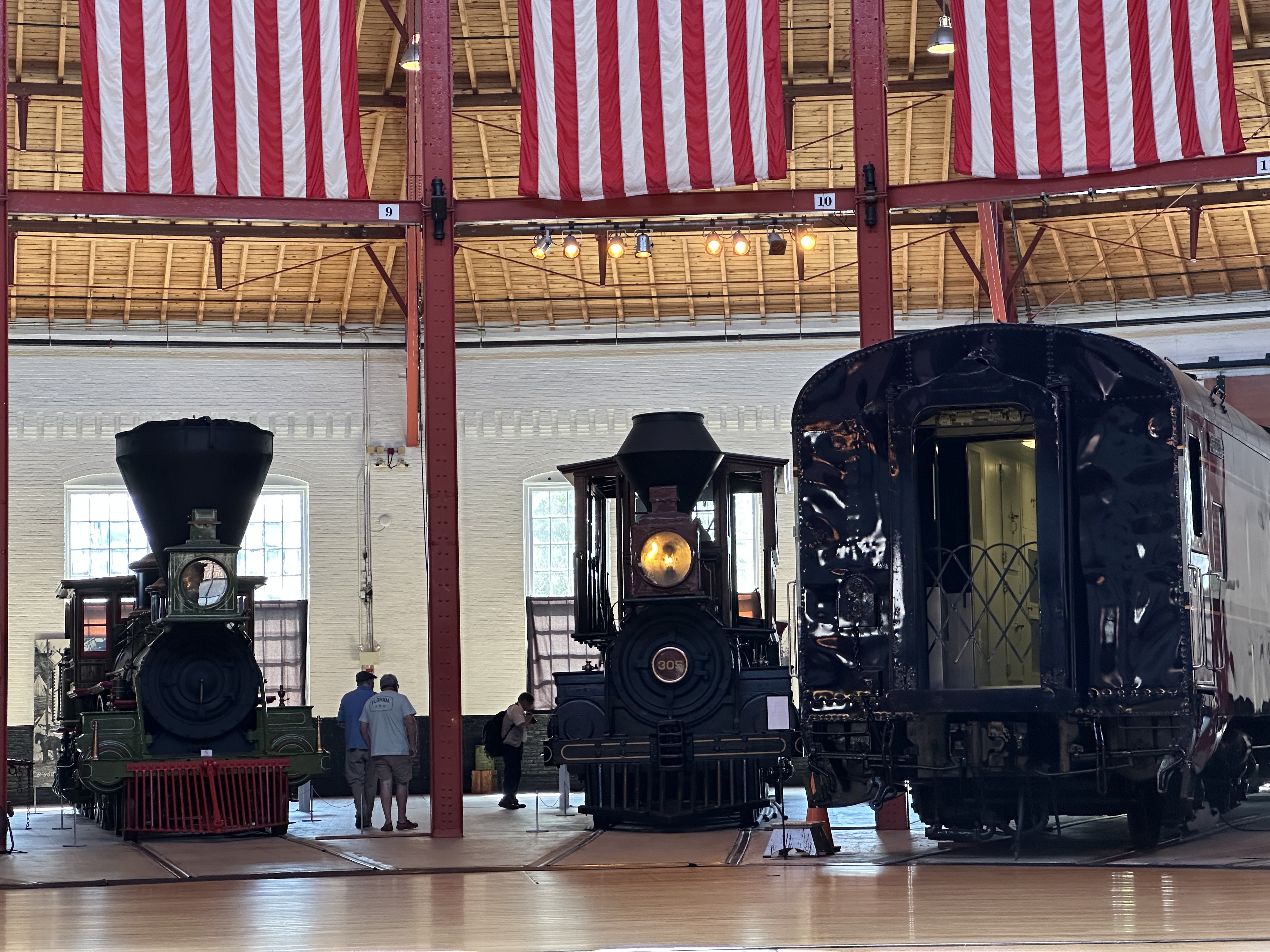
The National Museum of Railroad History and Innovation was just around the block. We visited the air-conditioned history section to cool off and learn about railroad history. The museum recently changed its name from the Baltimore and Ohio Railroad Museum to better represent the full scale of railroading.
We found the roundhouse to be the most interesting part. While Diana and Neva sat in rocking chairs in front of a fan, I wandered from old steam engines to diesel engines and passenger cars. I learned a lot.
Once a month, an engine is brought into the roundhouse pulling a coach to demonstrate how the roundhouse works. A 60-foot turntable rotates with 19th-century engineering.
The weight on the turntable rests on a highly efficient pivot center filled with massive ball bearings. Staff and sometimes visitors push long wooden levers to rotate the engine or car, perfectly balanced on the turntable.
After I made my rounds exploring the old engines and passenger cars, we headed back to Diana’s to rest and have another delicious meal. We left for the baseball game an hour before game time. With the heat, we decided not to walk and hitched a ride with Diana’s daughter.
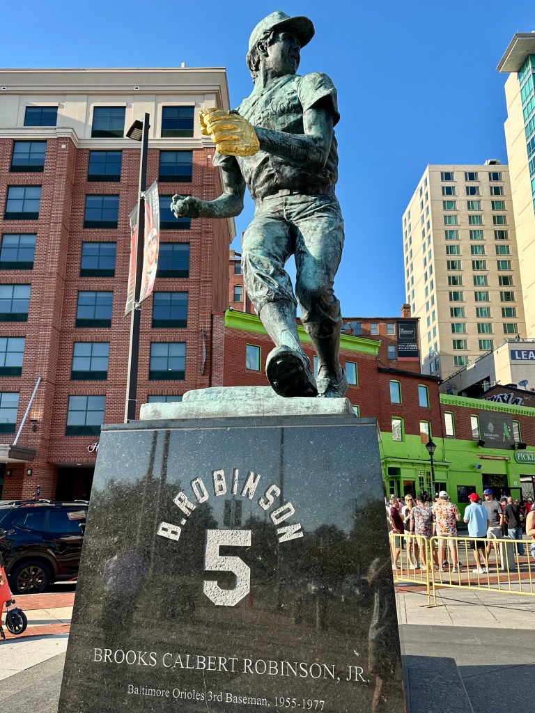
We walked past the statue of my all-time favorite third baseman, Brooks Robinson, who played his entire career for the Orioles. Brooks was a human vacuum sweeper at the hot corner, and he certainly deserved to be voted into the Baseball Hall of Fame.
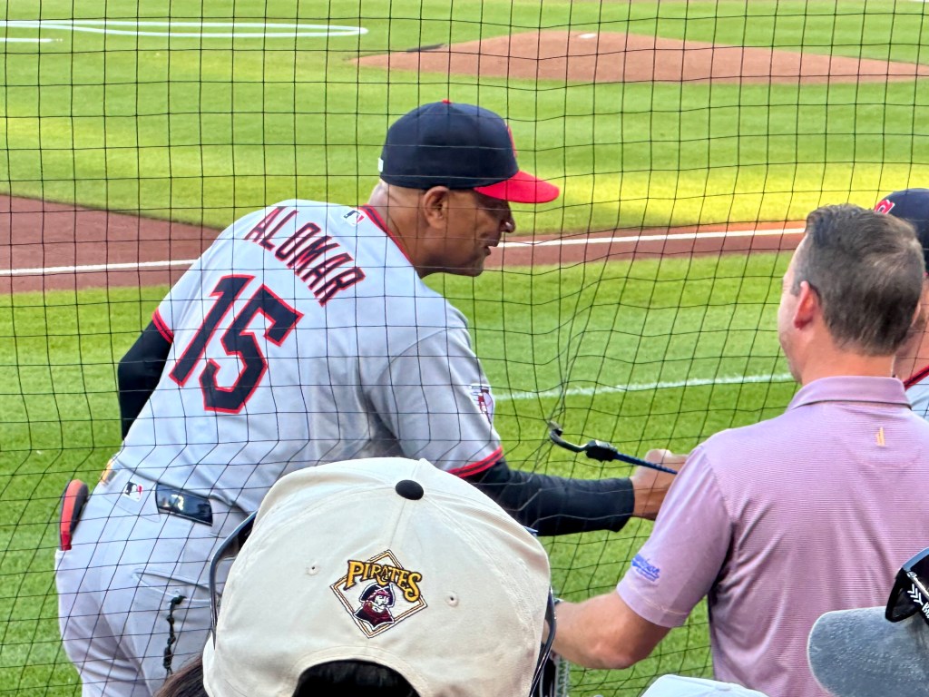
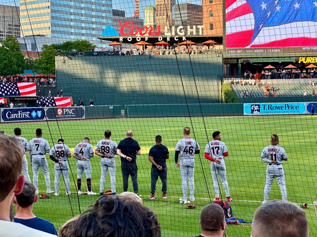
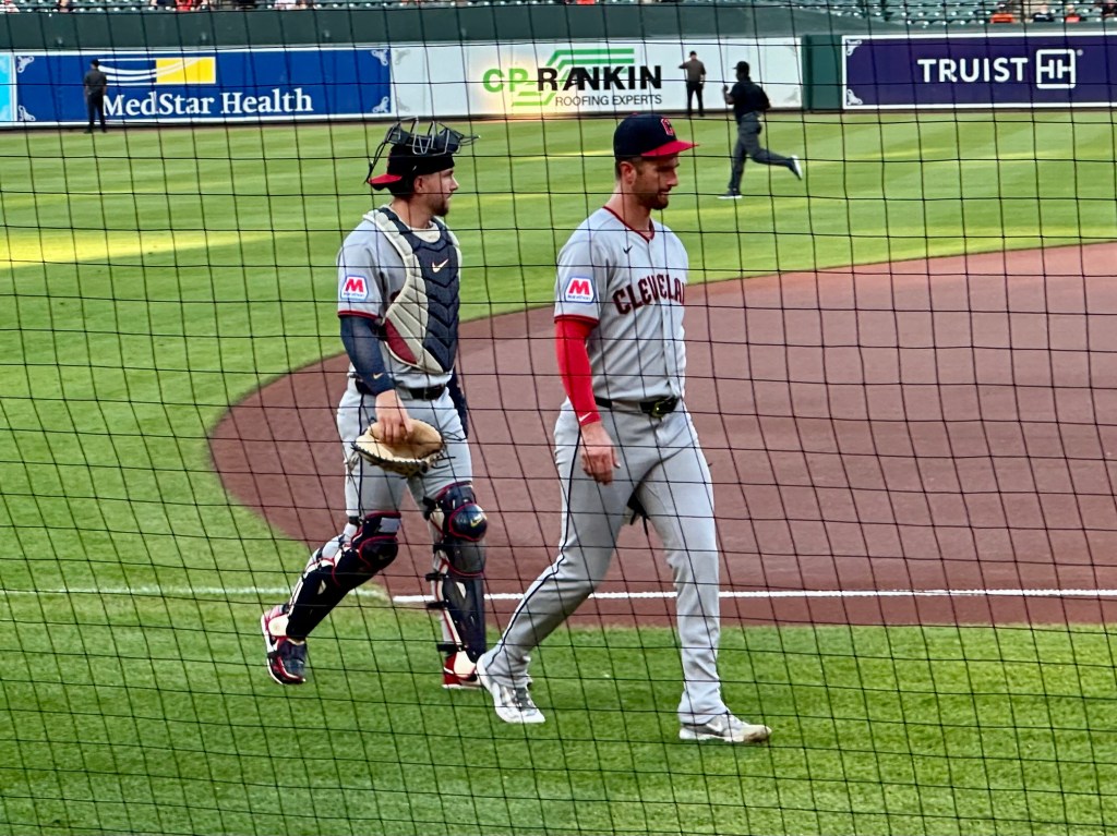
We found our seats near the Guardians’ dugout on the third-base side of the diamond. We had excellent views of the Cleveland players as they stretched and warmed up before the first pitch.
The game started out right for my Guardians. Rookie Chase DeLauter hit a two-run homer to give Cleveland the early lead. It didn’t last long. The Orioles had their way with Cleveland pitchers, and we left before the game ended.
The evening had cooled as we waited on our ride back to Diana’s. After our long day, we all slept well.
Despite the Guardians’ loss, I was glad we had come to Baltimore, a city with a lot to offer. We had a wonderful host who showed us only a snippet of this East Coast city.
The backside of a severe thunderstorm. Photo by Bruce Stambaugh
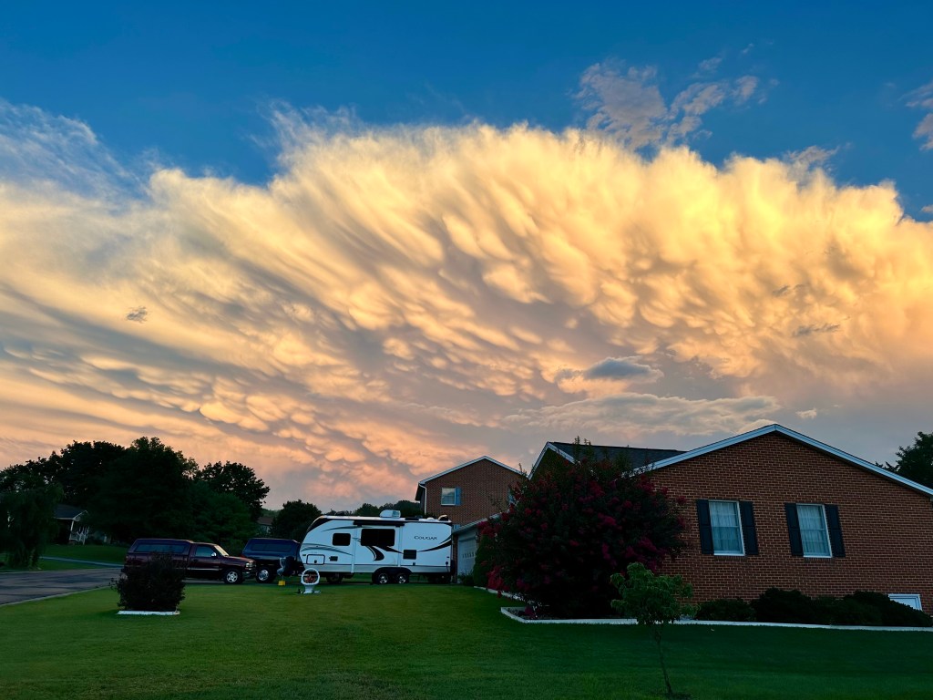
After last evening’s storm passed, I stepped out the back door to check my rain gauge when this amazing scene stopped me in my tracks.
We had yet another storm, but it clearly had intensified as it approached the Blue Ridge Mountains and Shenandoah National Park, which serve as the eastern boundary of Rockingham County, Virginia, where we live.
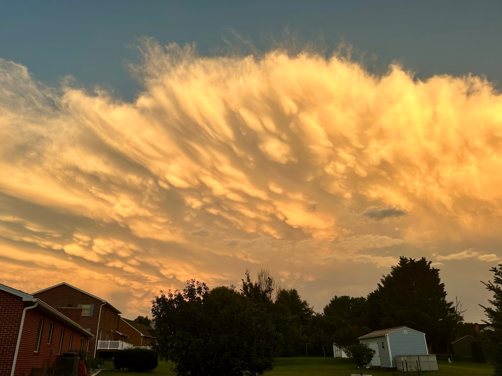
The view of the mammatus clouds from my driveway. Photo by Bruce Stambaugh
The setting sun dramatically illuminated the eastward-moving thunderstorm. The pouch-like clouds are mammatus clouds, formed when colder air aloft sinks into warmer air below.
Mammatus clouds almost always occur either at the lead of a severe thunderstorm or at the rear of the anvil-shaped thunderstorm crown. For meteorologists and those who appreciate and study clouds, spotting mammatus clouds is a rarity.
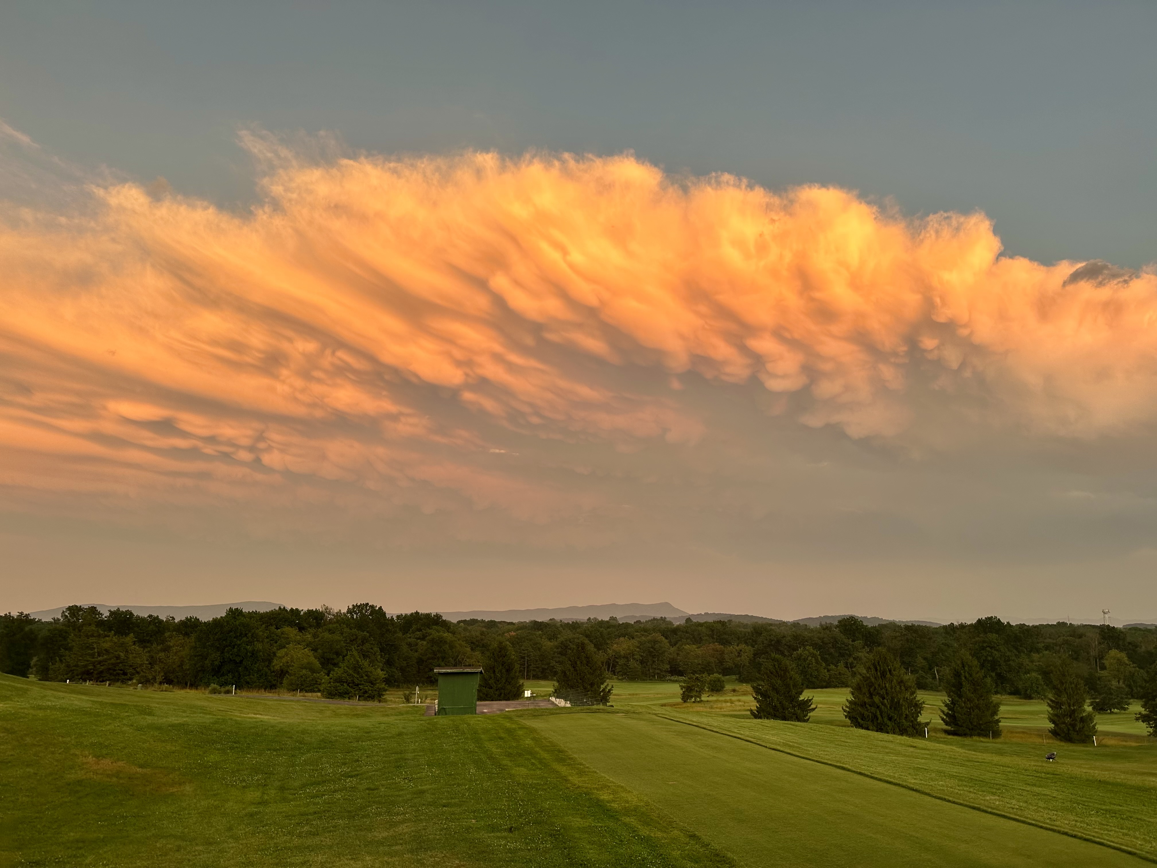
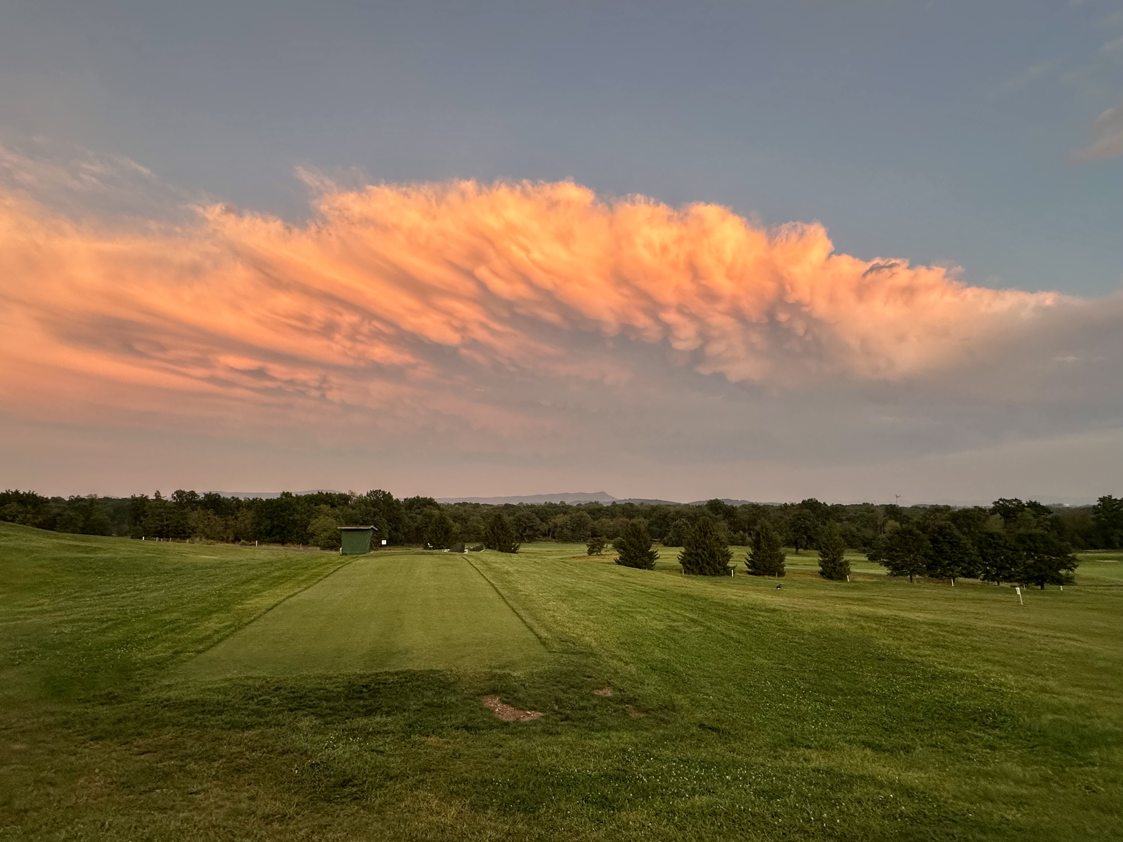
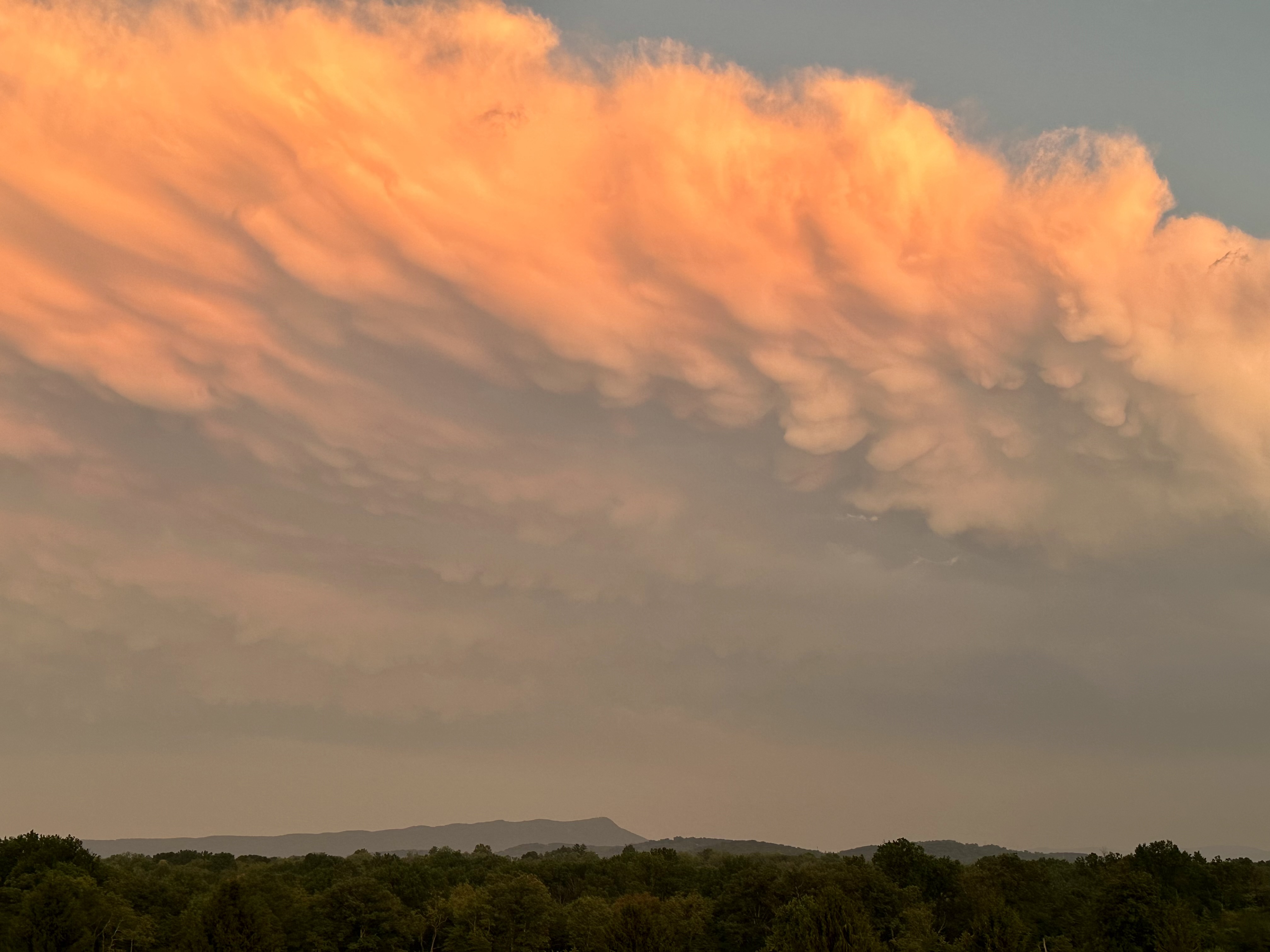
Since such clouds don’t last long, I wanted a view with a better line of sight. So, I headed to nearby Heritage Oaks Golf Course, behind an elementary school, which gave me an unobstructed view of the fast-moving storm.
As you can see, the turbulent clouds had already changed in the five minutes it took me to arrive at the golf course. Plus, the sun had set behind the Allegheny Mountains 30 miles to the west, changing the intensity and direction of its rays. Consequently, the colors of the clouds mellowed to more orange than white and yellow.
Please click on the photos to enlarge them.
Still, I was ecstatic to capture these shots, so much so that I never did check the rain gauge.
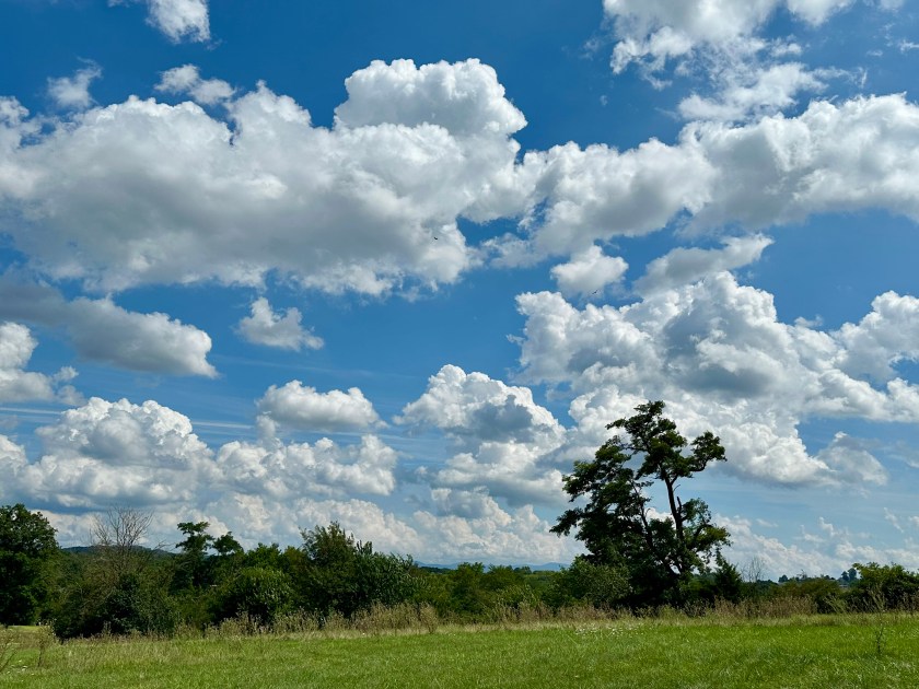
A puffy white cloud August day. Photo by Bruce Stambaugh
When I rose for my morning walk around the neighborhood, it was 47 degrees outside. On August 25!
As I walked in the early morning coolness, I thought more about how this August had been so different in the eastern U.S. The eighth month of 2026 here in Virginia’s lovely Shenandoah Valley has been anything but normal weatherwise.
August behaved normally the first nine years of living here after moving from Ohio’s Amish country. Year after year, August’s sun beat down, and the humidity overwhelmed you.
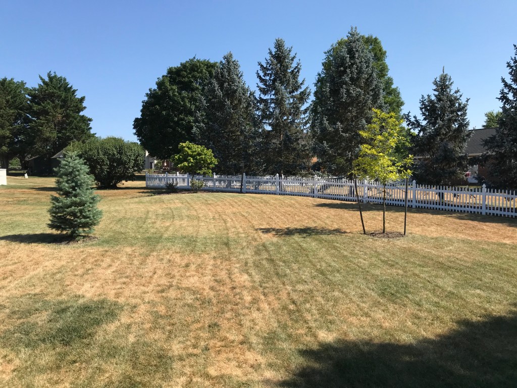
Usually, large cracks in the hardened, red soil zigzagged like spider webs. The parched grass crunched beneath your feet, devoid of any moisture for days, even weeks on end. Not this year.
Our burned-out backyard in 2020. Photo by Bruce Stambaugh
Apparently, August masqueraded as April. A few spring flowers bloomed again. With storm after storm, some locales measured inches of rain. A few areas even experienced tornadoes, a rarity in Virginia, with property damage and power outages. Fortunately, no injuries or deaths were reported.
Even then, the area remains abnormally dry, according to the U.S. Drought Monitor. That’s how dry the early weeks of summer were.
Though we didn’t realize it at the time, summer’s dog days fell in June and July. Haze filled the bucolic valley, significantly obscuring the view of the mountains to the east and west.
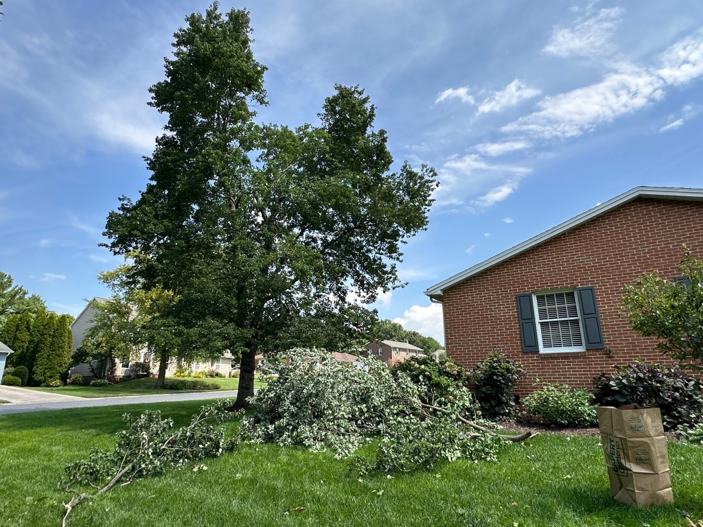
Strong winds in a severe thunderstorm damaged our Red Maple tree. Photo by Bruce Stambaugh
With August’s arrival, puffy white clouds sailed through deep blue August days. When school began again, students donned jackets while waiting for the school bus. They still wore shorts, however.
Instead of parched yards, lawns grew and grew, sometimes requiring mowing twice a week. It was a cash cow for high schoolers mowing lawns.
Unfortunately, the states to the south and west, clear to the Pacific Ocean, blazed and baked under record-high temperatures, extreme heat warnings, and massive wildfires. High winds spread small fires into thousand-acre conflagrations in minutes.
It wasn’t just the U.S. either. Europe and Canada shared in the record heat, dryness, and wildfires. Homes were destroyed, and firefighters were hard-pressed to contain the raging wildfires. The fires spread so rapidly around Las Vegas, Nevada, that residents escaped with only the clothes they wore. Passengers on European river cruises were inconvenienced by having to deboard for buses because the water was so low.
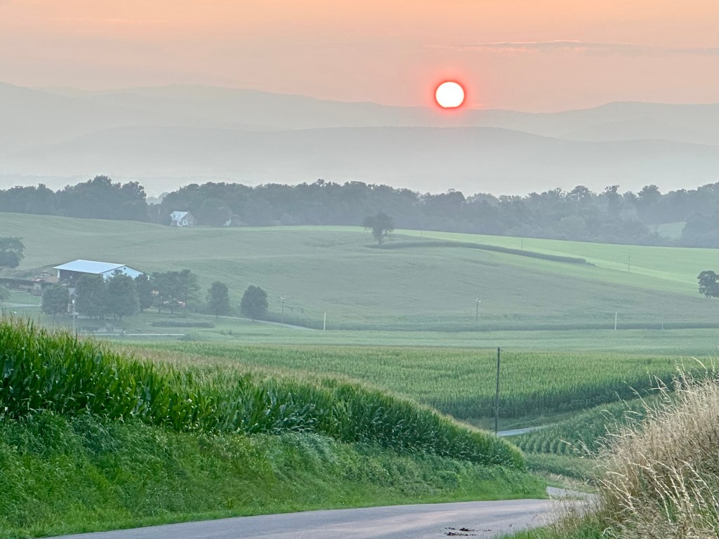
August’s weather has been a double-edged sword. Upper-level winds carried wildfire debris far from the fires’ origins, resulting in air quality issues for millions of folks. That also created glowing, golden sunrises and sunsets as a trade-off for the undesirable smoky smells.
A hazy sunset over the Allegheny Mountains. Photo by Bruce Stambaugh
At the same time, people appreciated the coolness, especially in the morning. Those on their daybreak exercise in my neighborhood have been wearing jackets and sweatshirts instead of T-shirts.
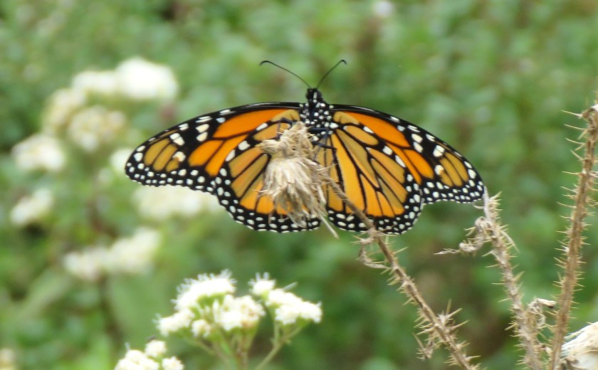
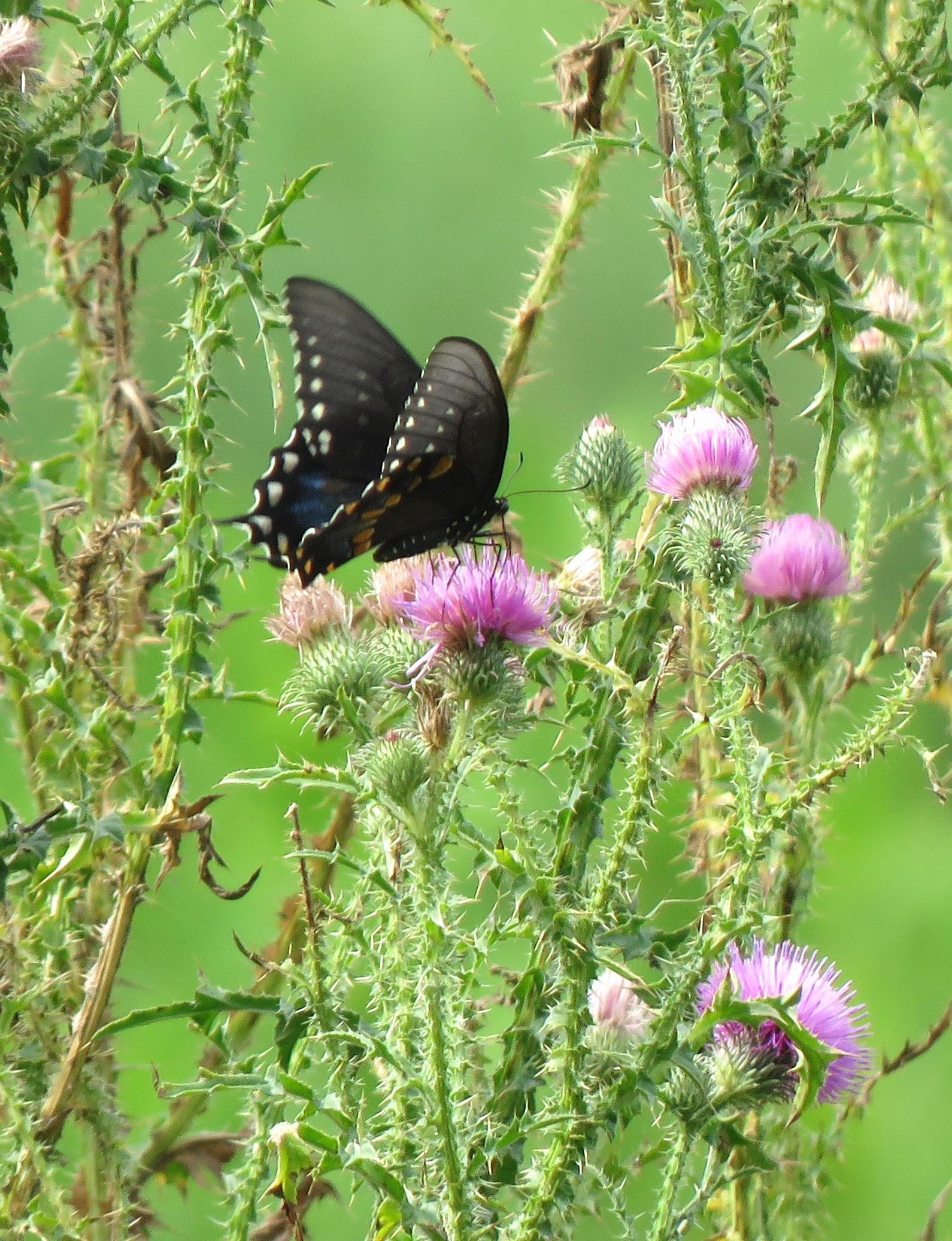
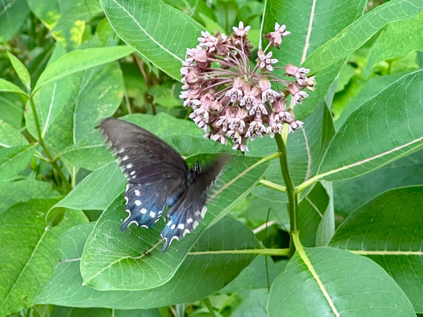
Of course, the regularities of August are still with us no matter the weather. Crickets and katydids lull us to sleep. Monarch, Tiger Swallowtail, Spangled and Variegated Fritillaries, and Pipevine butterflies flit from flower to flower, occasionally stopping for a photo op.
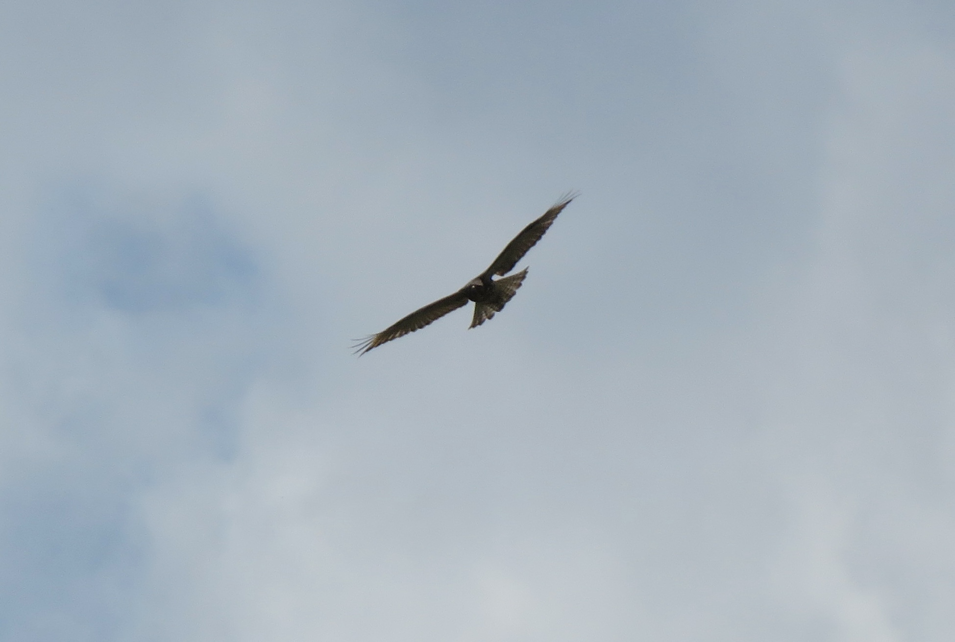
The avian fall migration has begun in earnest. I’ve successfully chased Swallow-tailed Kites and Mississippi Kites, both species far north of their normal range. Warblers and other songbirds have joined them in their quest for appropriate food absent in northern climes in the colder fallow seasons.
Conversely, folks in the southwestern U.S. have been baked in consecutive 100-degree-plus days, weeks in some places. Those are abnormal temperatures for August, even for those areas.
Clearly, geographic location has played a major role in the weather one has experienced this August. That’s the way weather rolls.
Despite the storm-damaged maple tree in my front yard, I’m very thankful we were in the cooler zone of August’s many vagaries.
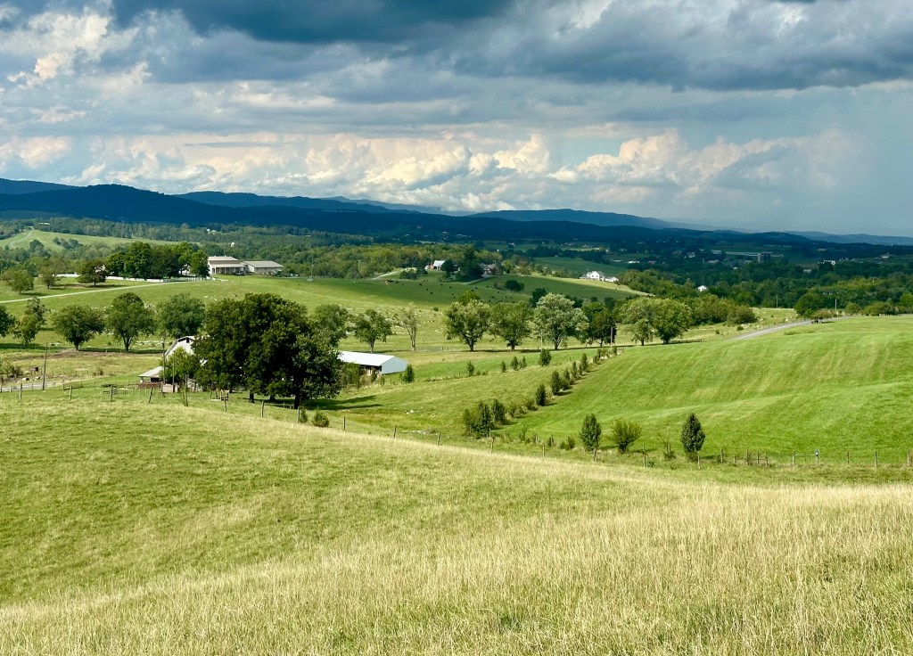
The bucolic Shenandoah Valley. Photo by Bruce Stambaugh
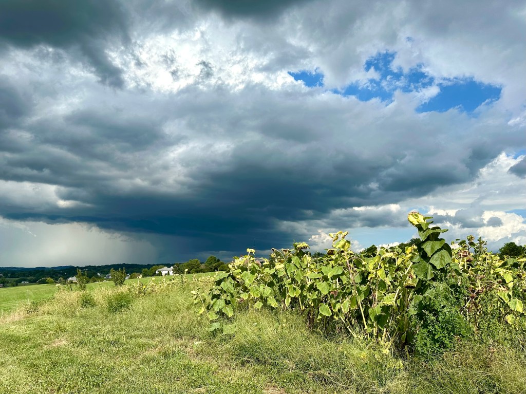
I went out in search of some rare birds for the Shenandoah Valley: Mississippi Kites. Unfortunately, a storm front quickly moved across the Appalachian Mountains and into the valley.
Fortunately, as the storm clouds built, they were north of me a few miles. Unfortunately, that’s where the birds had been sighted. The sun beat upon my back as I trudged through the farm field for a better view of the small valley below me.
With the Kites nowhere in sight, I turned my attention to the cumulonimbus clouds moving rapidly northeast. The late afternoon sun brightly illuminated them. Shortly after taking this photo, the National Weather Service issued a Severe Thunderstorm Warning for those in the path of the storm.
That’s the way of bird watching. You go in search of one thing, and end up photographing something entirely different, but equally inspiring.
You never know what you’ll happen upon in nature. Photo by Bruce Stambaugh
We live in a stress-filled world with lots of artificial noise, annoying distractions, societal expectations, and short deadlines. There are ways to escape the madness, even if only temporarily.
In my almost 79 years of living, I have made a habit of escaping much of life’s static by getting away. Even in retirement, I feel life’s stresses.
Hiking and bird watching are two excellent ways to forget all of the activities that clutter our lives, especially with 21st-century technology constantly hounding us. Combining exercise with enjoyment helps strengthen my body, foster mindfulness, and recharge my spirit for living.
I add in a third complementary hobby: photography. Snapshots of my outings document where I have been and what I have seen. Then I can share the treasures I have found with others, which only enhances the joy of the experience.
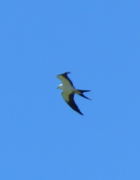
Poet Mary Oliver taught us to “pay attention, be astonished, tell about it.” During my treks, I put this poetic advice into practice. I marvel at a pair of Swallow-tailed Kites foraging for insects over a recently mown field. Walking through a tunnel of blooming Mountain Laurel along the Appalachian Trail stops me in my tracks.
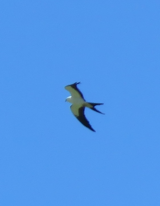
A Swallowtail Kite. Photo by Bruce Stambaugh
A blogger friend of mine who frequents Georgia’s Okefenokee National Wildlife Refuge does so for solitude and renewal by kayaking among alligators. Finding renewal in nature is a personal preference. Making the effort to enjoy the outdoors is what counts.
Recent studies have proven what author Wendell Berry has always known: “For a time, I rest in the grace of the world, and am free.” One study “found evidence for associations between nature exposure and improved cognitive function, brain activity, blood pressure, mental health, physical activity, and sleep.” Another research paper focused on the health benefits of nature in urban areas.
These studies show that everyone, everywhere, should commune with nature. It can be a morning walk in your neighborhood or a long-distance bicycle ride. I walk frequently in our suburban neighborhood in Virginia’s Shenandoah Valley. The melodious bird calls and the fragrance from well-attended flower gardens combine to energize my steps.
I find Berry’s grace under the shady canopy of towering trees, among stands of colorful wildflowers, while viewing wildlife big and small, and in forever mountaintop vistas. So, whether with friends or solo, I enjoy nature in her many forms. Being retired allows me to do so as time allows.
I keep a steady pace until I spot something pretty or intriguing. I pull out my smartphone and photograph it. That documents the time and place to reinforce my memory. It might be another opportunity to share it as well.
I belong to a local bird club, so I can follow up on any rare bird alerts as I can. I don’t always find the bird in question, but I’m not disappointed. I often encounter other birders in search of the same species. We commiserate and share other birding adventures we’ve had. New friends are made in the process.
I’ll occasionally join a scheduled bird hike in a city park or even in Shenandoah National Park 40 miles away. Having multiple pairs of eyes scanning the sky and peering through thickets and woodlots enhances all our chances of seeing a special bird.
I have the privilege of mentoring a high school junior from our church. He also happens to enjoy bird watching, so we occasionally venture out with small groups or another mentor-mentee pair to enjoy the hiking, camaraderie, and all we encounter along the way.
Impatient with our septuagenarian pace, the trustworthy teens forge ahead, exploring on their own. Once, they encountered an unfamiliar rock scramble and rushed back to us, realizing they had missed the turn.
I am most free to enjoy the flora and fauna when I go alone. I travel at my own leisure, stopping to photograph bees and butterflies on flowers, unusual rock formations, and birds if I can spot them in the dense foliage.
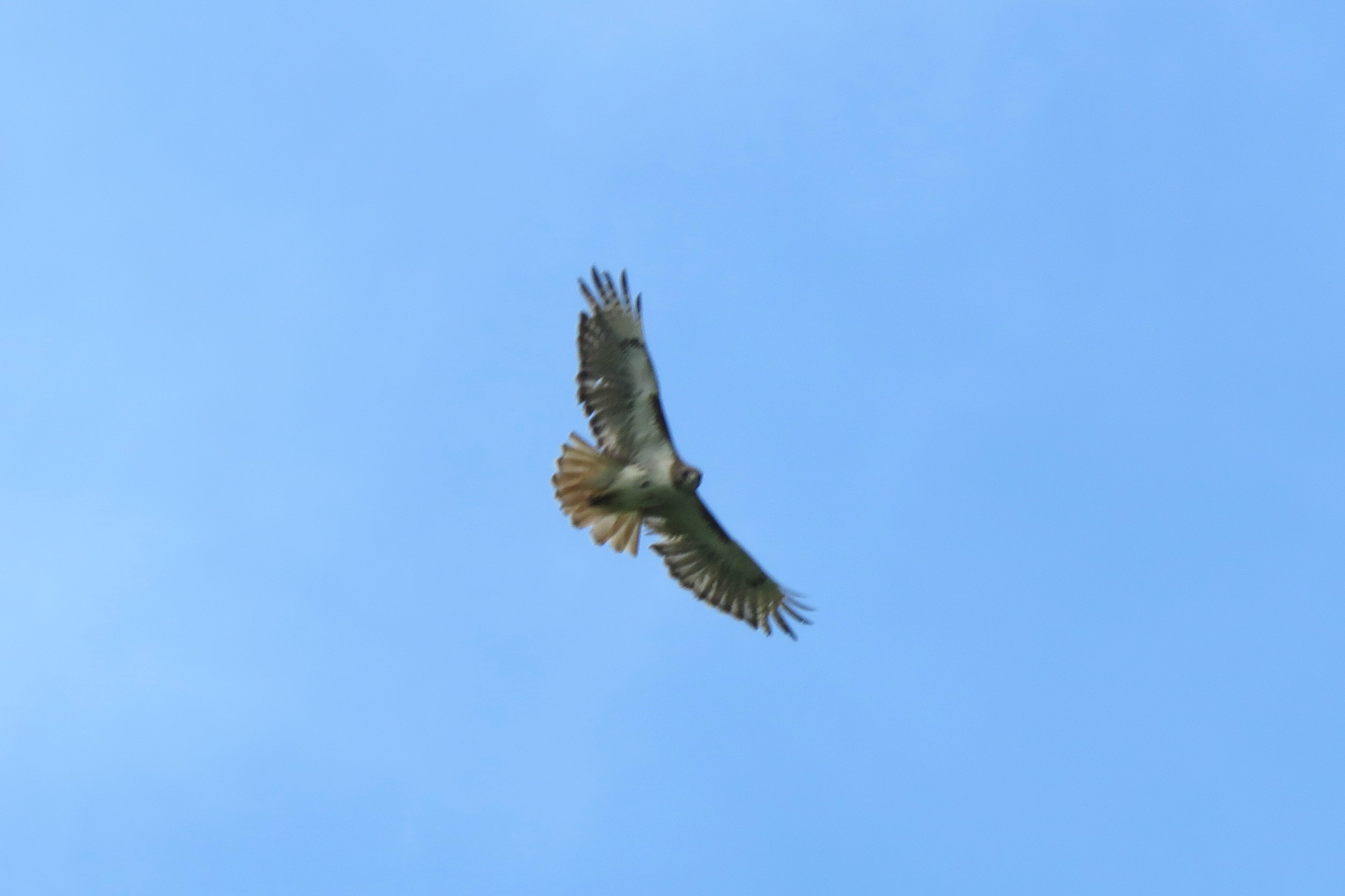
After hiking to a majestic overlook in the Blue Ridge Mountains, I rest a spell, partly to regain my energy and catch my breath, but mostly to inhale the view. The quiet has its rewards: a doe grazing with her fawn, Red-tailed Hawks and Turkey Vultures soaring on thermals with puffy white clouds sailing high overhead in the cerulean sky, a Timber Rattlesnake soaking in the sun on a limestone outcropping.
Hydration and nourishment with water and snacks are essential, especially when hiking at higher altitudes. With binoculars hanging from my neck and a camera slung on my shoulder, a pair of walking sticks keeps me steady even on the rockiest of terrain.
Spending time in nature provides many benefits, especially for seniors as we age. It helps improve cardiovascular health and sleep, and reduce inflammation in the body, according to this study by the Elder Care Alliance. My family physician tells me “to keep moving,” so I do.
The essence of being in nature with the wild things gives me all the peace I need. With no signal in remote areas, the cellphone never interrupts.
We often hear about the harbingers of spring, but seldom do we speak of those of autumn. Yet, they certainly exist.
If we look closely, the signs have begun to appear. The vegetation and animals are already giving us hints of what is to come in fall. After all, the Autumnal Equinox is only six weeks away.
Fall migration has already begun for some of our aviary friends. Those with bold spring mating colors now appear much duller and are harder to identify.
If we take time to notice, some leaves of deciduous trees and climbing vines have already begun to change. Maybe the hot, dry summer we had here in Virginia’s Shenandoah Valley had something to do with the early signs of fall.
Whatever the reasons, the gradual transition helps to accept that autumn is just around the corner.
Some leaves on a Virginia Creeper vine have already turned red. Photo by Bruce Stambaugh


























You must be logged in to post a comment.