The shots I love most aren’t the ones I expect to take. They are the spontaneous ones that appear suddenly, unexpectedly, and often only for a moment.
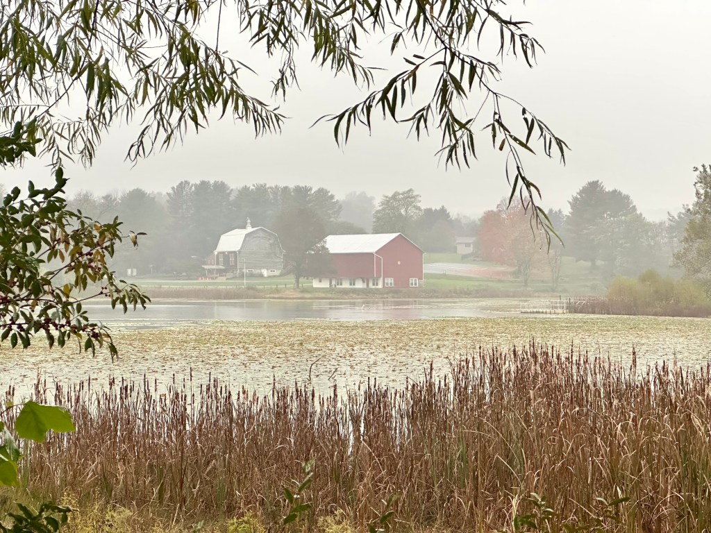
This scene appeared as I walked back to my vehicle in the rain after photographing the American White Pelican, the shot I wanted. After crossing a short footbridge at the west end of the lake, I stood in disbelief.
There it was, the opportunity I didn’t expect. A red barn across the lake, an orange sugar maple to its right, mist muting their color’s intensity. A carpet of weathered water lily leaves spread out across the shallows of the lake in front of a stand of burnished cattails.
On top of all that, a tree’s branch framed the surreal setting. Click.
I really shouldn’t have taken this photograph. But when an alert came in that a lone American White Pelican had landed on Lake Shenandoah, I had to go see it and take some photos.
Given the results, I’m glad I did, but I wish I hadn’t. I was diagnosed with acute bronchitis the previous day and was prescribed four different medications. I took them as directed and slept well.
When the rare bird alert appeared just after 8 a.m., my birding adrenaline kicked in. I finished my meager breakfast, checked the radar, and found no rain.
So, I headed east six miles to the state-owned lake. It misted all the way. The closer I got to the lake, the more menacing the sky appeared. I hadn’t walked 20 yards from my vehicle when the rain began in earnest.
I passed another birder friend who said the pelican was just floating in the middle of the lake. So, I hustled to the fishing dock, and there it was. But the fog and rain made it difficult to photograph.
Still, I got several shots, but being a typical photographer, I wasn’t happy with the results. I should have turned back to my SUVs and headed home. Instead, I stayed, got wetter by the minute, and took photo after photo.
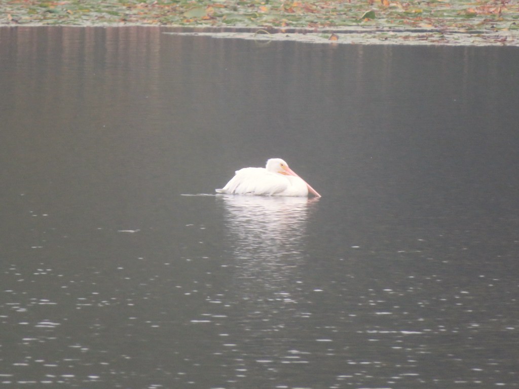
This is the best one of the series.
American White Pelican. Photo by Bruce Stambaugh
Why this bird was here alone, no one knows. American White Pelicans usually migrate from northern climes this time of year in large flocks to southern locations. This individual clearly got lost.
Today is a beautiful, warm autumn day when I should be out taking photos of the annual changing of the leaves. Instead, having learned my lesson, I’m behaving myself and staying put.
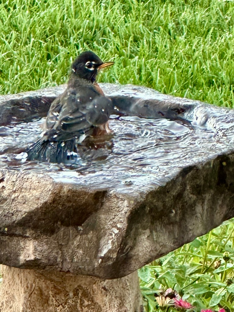
When I saw this American Robin splish-splashing one morning in a backyard birdbath, I thought of Bobby Darin’s 1958 hit “Splish, Splash.” I hadn’t heard that song in a long, long time.
The rock and roll song reached number three on the US Billboard Charts. Bobby, whose real name was Walden Robert Cassotto, wrote the song along with Murray Kaufman.
Click the link if you want a musical trip back in time.
American Robin taking a morning bath. Photo by Bruce Stambaugh
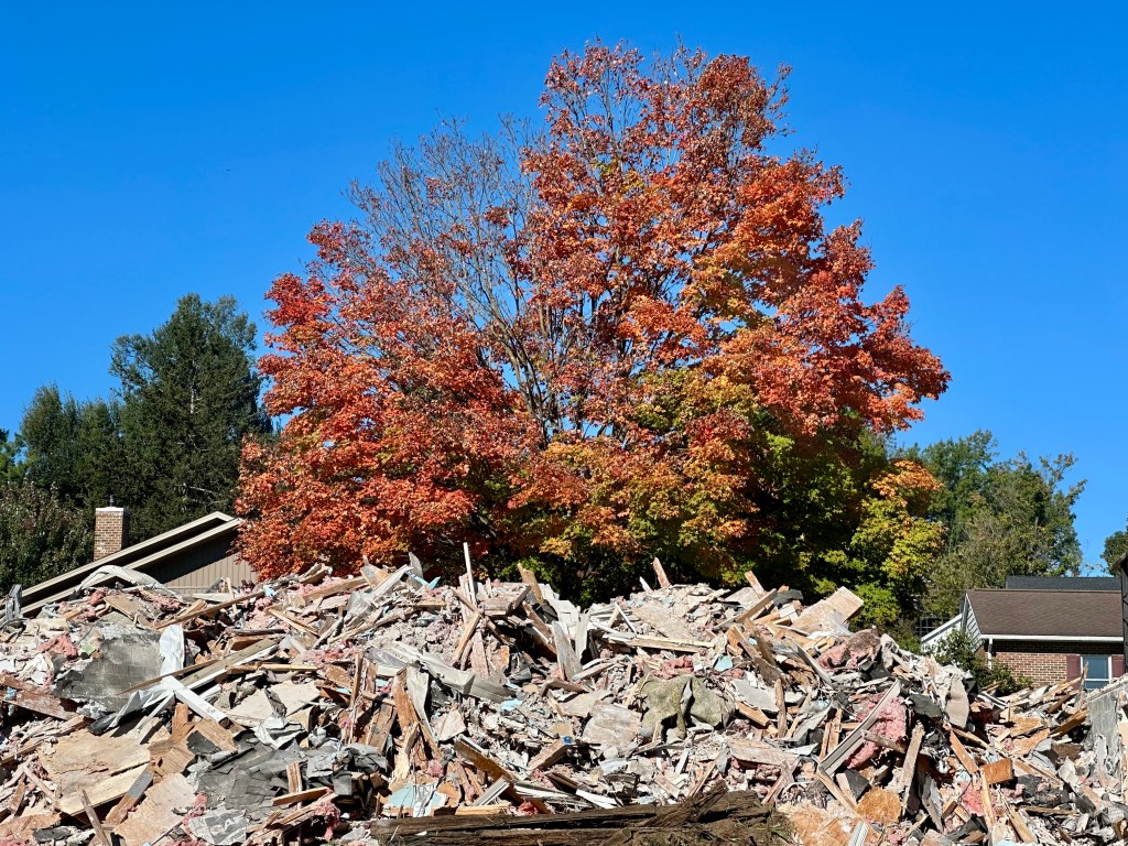
I was out and about looking for photo opportunities of trees changing color in Virginia’s Shenandoah Valley when I came upon this scene.
The morning sun highlighted both the orange leaves of the sugar maple and a huge pile of rubble from duplex apartments being demolished because of faulty foundations.
The contrast between nature’s beauty and human destruction, even though it was needed, perfectly defined juxtaposition.
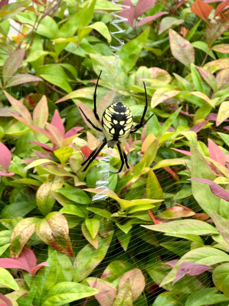
The Yellow Garden Spider on its web. Photo by Bruce Stambaugh
I’m not sure how long the Yellow Garden Spider had been there. Friends visiting from Ohio spotted it one morning as we headed out to explore our area of the Shenandoah Valley.
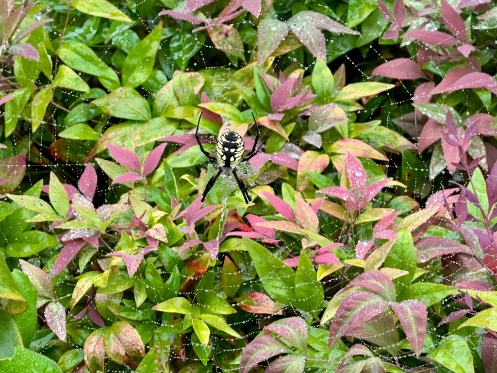
On a foggy morning, I found the spider’s intricate web dotted with dewdrops large and small. The sparkling display surrounded the arachnid like stars in the night sky. The spider, also known as a Black-and-yellow Argiope, was a giant, one of the largest the four of us had ever seen.
The spider’s web hung from the lamppost over the nandina bushes at the end of our front sidewalk. Several wrapped-up victims accompanied the sparkling dewdrops.
It was a fun way to start our day.
The Yellow Garden Spider. Photo by Bruce Stambaugh
Technology is always around us. Computers, laptops, tablets, smartphones, AirPods, hearing aids, and the list goes on and on. It can be dizzying at times, and I didn’t even mention AI.
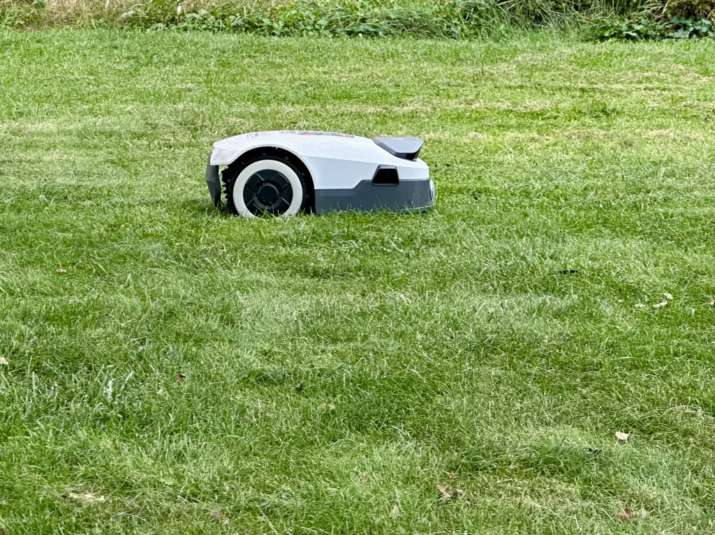
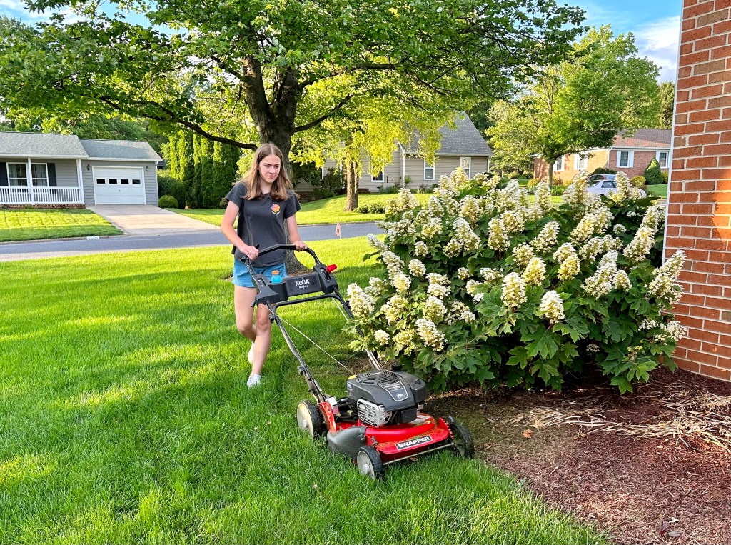
Recently, while walking in the neighborhood, I encountered my first robotic lawnmower. To be honest, I didn’t even know remote-controlled lawnmowers existed. That probably says more about my naiviete than it does about technology.
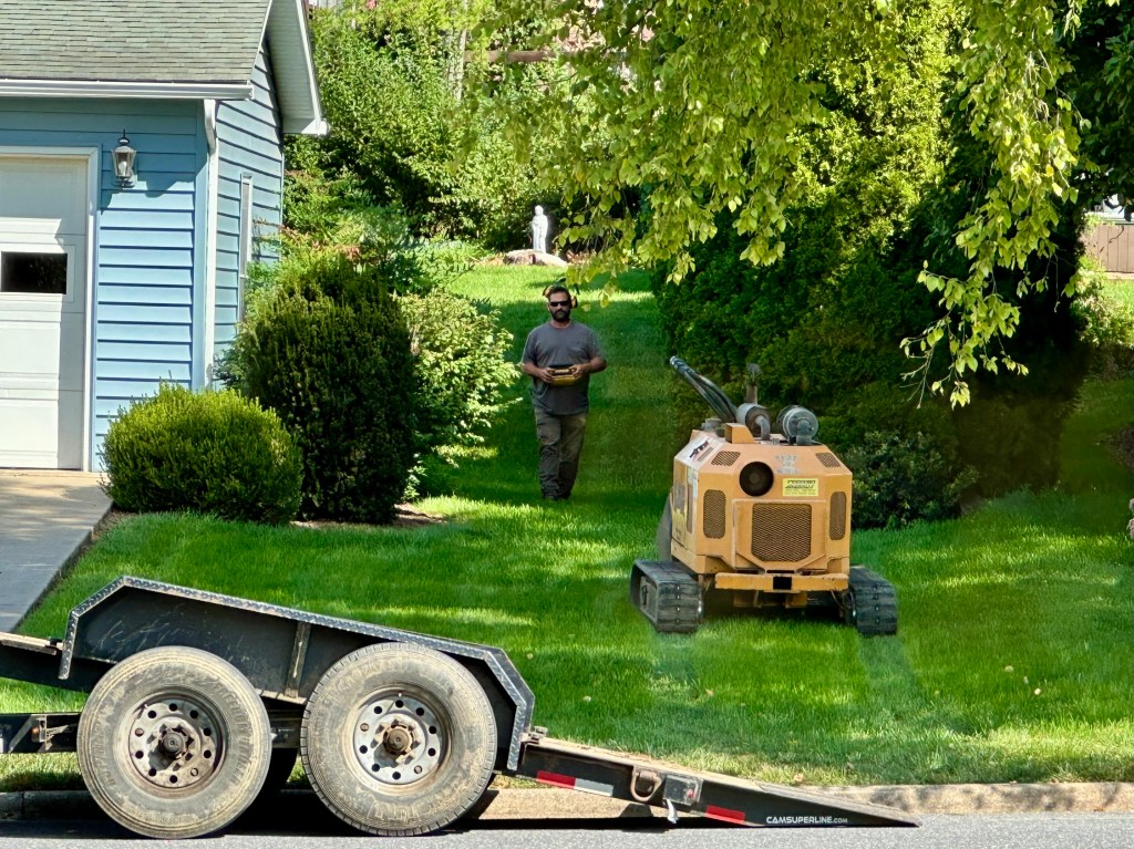
When I arrived home, I encountered yet another robotic piece of equipment. A local landscaping business was replacing some older shrubbery for the neighbor across the street.
A robotic excavator. Photo by Bruce Stambaugh
One of the workers arrived with a machine he unloaded with a remote control device. He guided it to the backyard, where I assume it did quick work of whatever shrub needed to be extracted.
Soon the man and his machine returned to the trailer, onto which the robotic excavator was quickly loaded. The worker did his job without even breaking a sweat.
I suppose that’s the same reason expressed in the use of the robot mower.
As for me and my house, we’ll keep paying our granddaughter to cut our yard.
Nearly 80 years of living have taught me how valuable strong, wholesome relationships are. As a youngster, I learned that family comes first, followed by close friends.
Growing up in a neighborhood of baby boomers taught me the importance of having caring, trustworthy pals. The importance of proper socialization stuck with me.
I’ve tried to carry those lessons throughout my life and into retirement. Healthy bonding relationships create a twofold effect for me. I feel better physically and emotionally.
As we age, we need nurturing relationships that sometimes require a certain vulnerability. It’s important to be open to every opportunity to connect and reconnect. That can happen through planned meetings or a spontaneous encounter at a restaurant, or even on vacation.
For me, it means incorporating my gifts and abilities with those of others. I enjoy writing, so I facilitate a monthly Zoom writing group with creatives in their 70s, 80s, and 90s. We each read a piece, and the listeners offer supportive comments and share ideas for improvement, or even suggest taking the story in a different direction. We also laugh a lot, and sometimes cry.
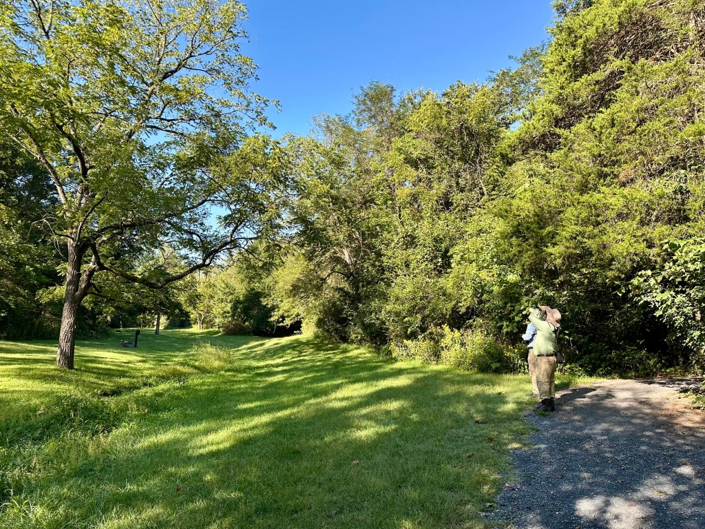
Surrounding yourself with like-minded people, especially as you age, is critical for retirees. An occasional nature walk in a local arboretum with folks who share my interests keeps me refreshed and uplifted.
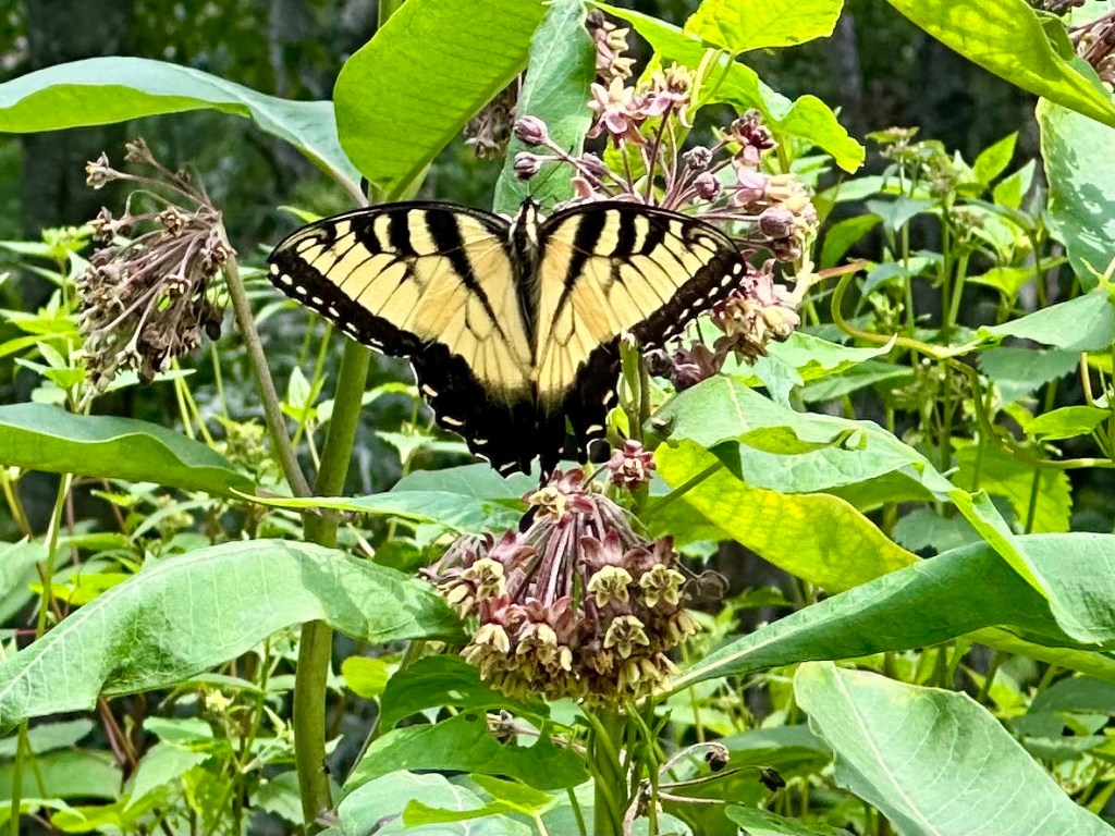
A Tiger Swallowtail butterfly along a hiking trail. Photo by Bruce Stambaugh
Even as older folks, using our five senses lets us keep learning and growing. I try to listen more than talk. I enjoy hearing others’ stories and how they handled situations similar to what I’ve experienced.
I belong to a local birding club that holds regular outings. I attend as often as I can, not only to find migrating birds, but also to learn techniques for properly identifying bird species. Fall warblers, dressed in their drab colors, are difficult for me to identify. My birding friends eagerly show me how to tell a fall Cape May Warbler from a Bay-breasted one.
My wife and I belong to three different small groups, two of which meet monthly and always with food. We take turns hosting, and everyone contributes to the modest feast. One group is intergenerational, with ages ranging from infants to grandparents.
Two of the three groups are both comprised of seniors. It’s easy to share our latest aches and pains as we age, but once the simple meal is finished, we get down to business by answering a pre-assigned prompt individually. We discuss current events, memories from our formative years, and issues we need advice on. Serious or playful, the conversations are rewarding.
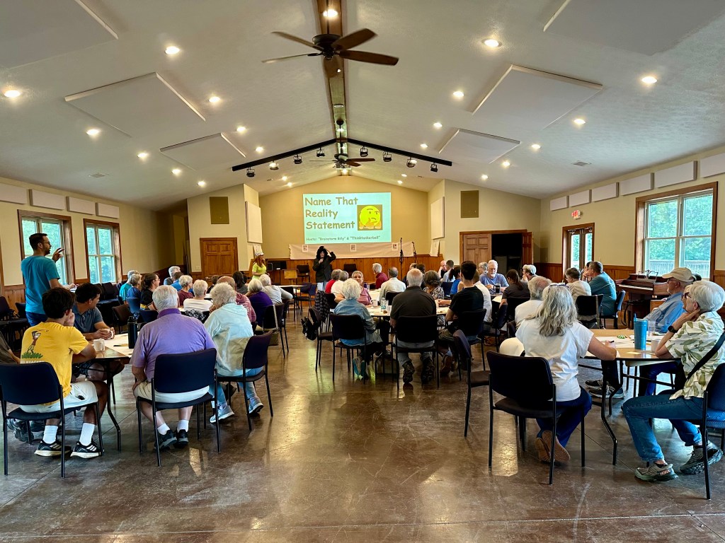
At a church retreat. Photo by Bruce Stambaugh
Hearing others’ experiences and perspectives broadens my thinking. It helps me better understand a point of view different from my own. That enhances and nurtures my life.
During the COVID-19 restrictions, we Zoomed every other week with my wife’s sister and four cousins, who were like brothers and sisters growing up. We enjoyed the camaraderie so much that we’ve continued monthly Zooms, since we live in different states.
My wife also Zooms monthly with college friends, all of whom graduated in the early 1970s and are scattered across the country. Those strong connections have led to in-person gatherings and even vacations together.
My wife and I spent a few days in Maine last summer with one of those lifelong college friends. The sound of ocean waves crashing lulled us to sleep while the pastel light of the rising sun awakened us at 4:30 a.m. We walked along the shore at low tide and ate fresh lobster on the dock in a quaint cove.
Weeks later, we visited the same friend in Baltimore, Maryland. She was a perfect host. On the hottest day of September, we toured a massive second-hand store and then a railroad museum. In the evening, we attended a baseball game at Camden Yards. We enjoyed our time together despite my Cleveland Guardians’ loss.
My wife of 55 years has many useful and creative gifts, but the greatest is hospitality. She loves hosting friends, family, and new neighbors for meals and fellowship. A young couple moved next door from New Mexico. Of course, my wife invited them for dinner, and they stayed for four hours. The conversation freely flowed, and they soon returned the favor.
Friends occasionally visit us from other states, especially from our home state of Ohio. They are enchanted by Virginia’s bucolic Shenandoah Valley, where we moved nearly a decade ago to be close to our daughter and her family.
We enjoy escorting visitors around our small city and the surrounding agricultural countryside. Shenandoah National Park borders our county to the east, and each visitor finds the park as remarkable and awe-inspiring as I do.
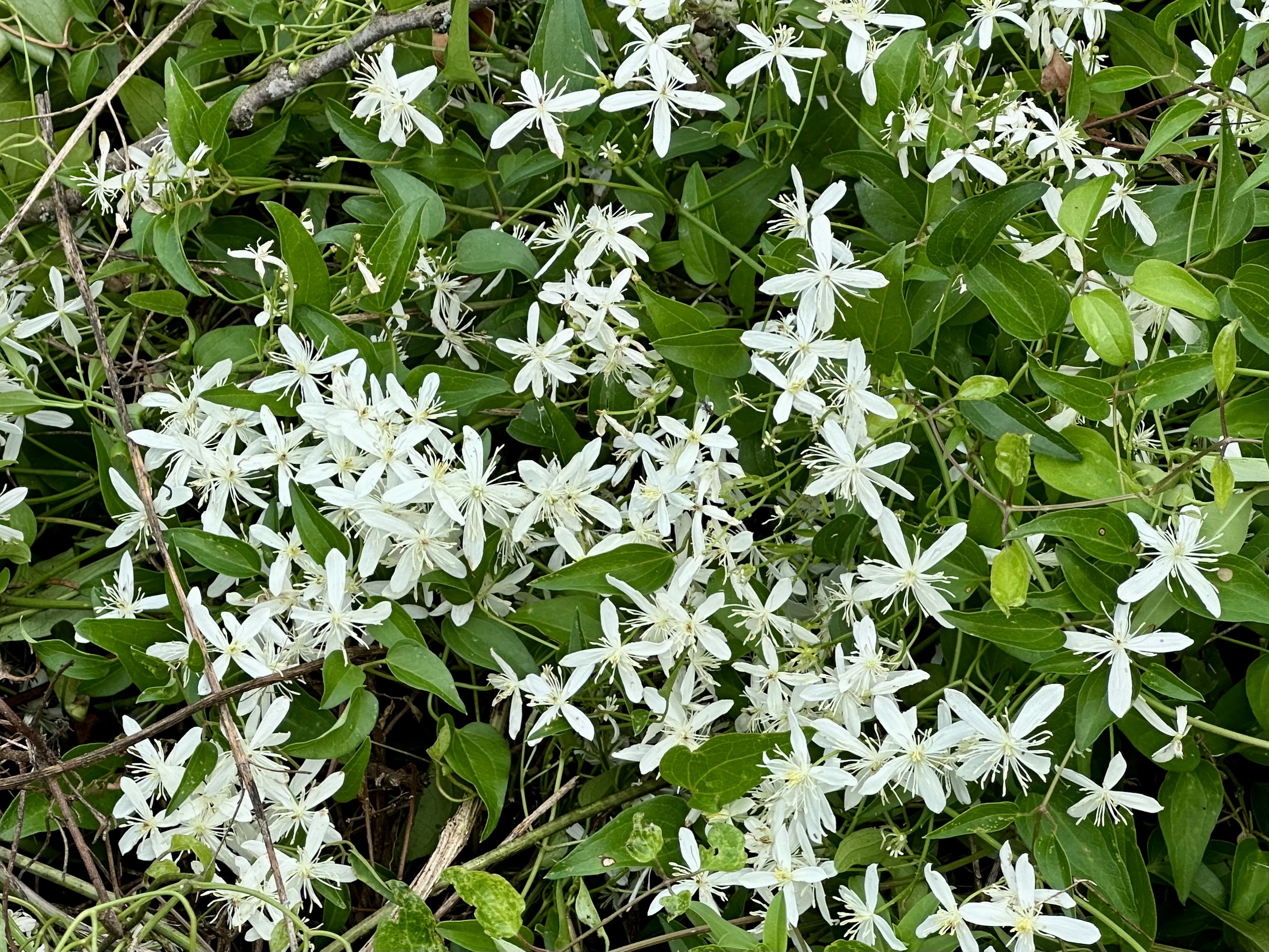
On one recent visit by Ohio friends, we met another couple who helped us locate and identify tiny but beautiful flowers we would have missed. The pesky gnats and cloud-enshrouded mountains couldn’t diminish our pleasant adventures.
The same results occur when we visit our son, his wife, and their young son in upstate New York, or when we return to our beloved Holmes County, Ohio, where we lived among the Amish for nearly four decades.
We moved to Virginia’s Shenandoah Valley to be close to our daughter and her family. Those 10 years have flown by as we watched our grandchildren grow and mature. We followed them from T-ball to college baseball, attended piano recitals, band concerts, high school musicals, and volleyball games.
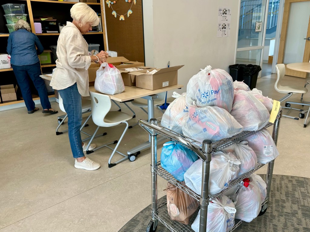
Packing bags of food for children. Photo by Bruce Stambaugh
We find great comfort and connection with others as we not only worship, but also participate in activities that involve community members. My wife volunteers at a thrift store once a week, and we both help pack and distribute food for food-insecure families at a local elementary school.
Of course, life challenges us physically as we age, so we exercise regularly and are mindful about what we eat and how much we eat. We make regular checkups with doctors and appointments with physical therapists as needed.
At our age, hardships occur too often for friends and family. Empathy and compassion help soothe the emotional pain we encounter.
Traveling has been an eye-opener for us, and we wish we had done more when we were younger. But we can only move forward in life and enjoy and learn from the trips we do take, whether by car, plane, or cruise.
My wife and I feel most grateful for our families and the many friends we have. Their love and support shower us with kindness and appreciation, whether they live next door or in another state or country.
Relationships flourish when we nurture them with compassion and openness. Their unconditional inclusion keeps us engaged and going.
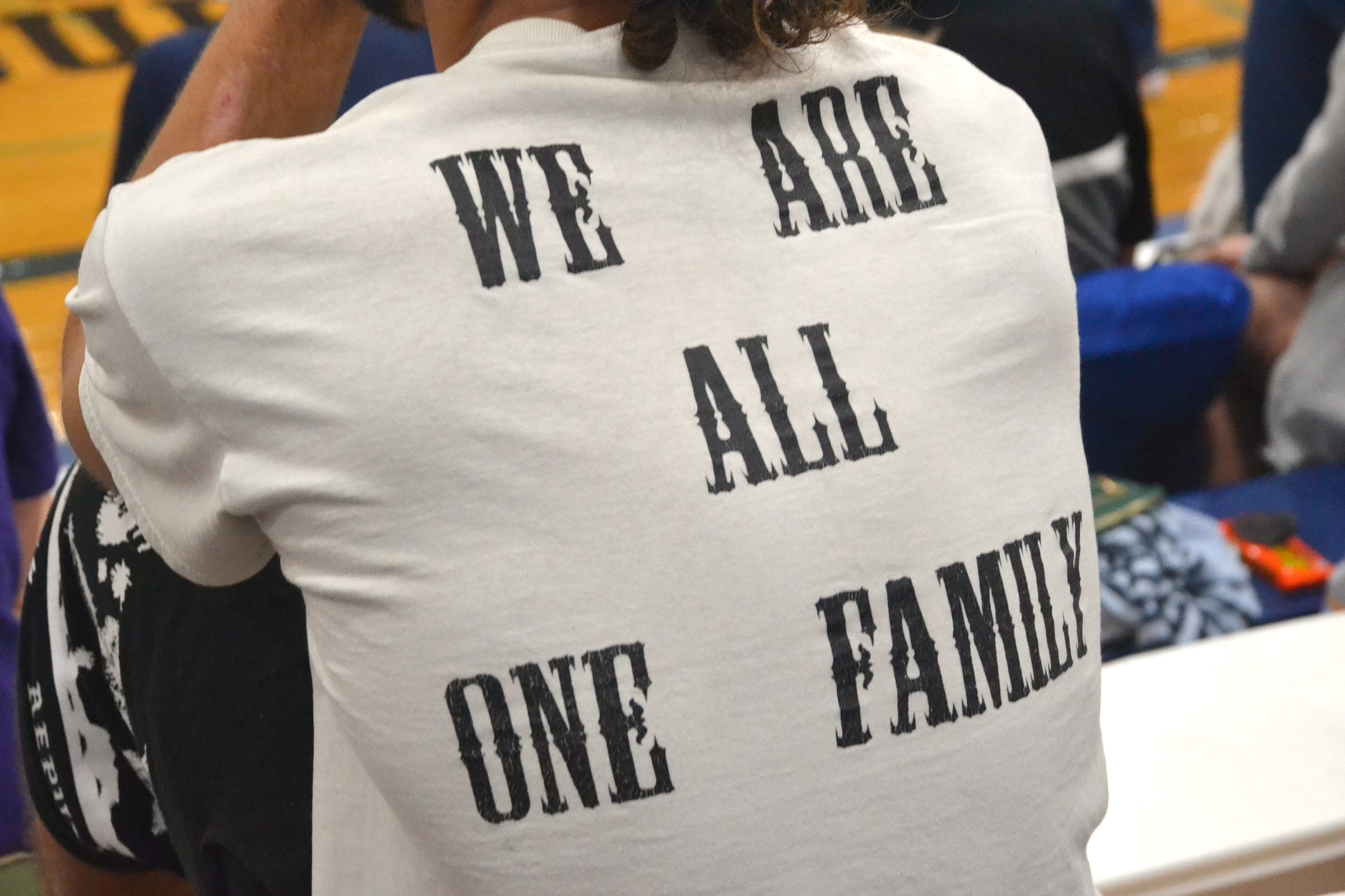
In all of this, if I have learned anything in life, it’s that we are all one human family. Even amid differences, accepting others doesn’t mean agreeing with them. Instead, heartfelt connections count.
At this age, that’s exactly how I desire my life experiences and human interactions to add up.
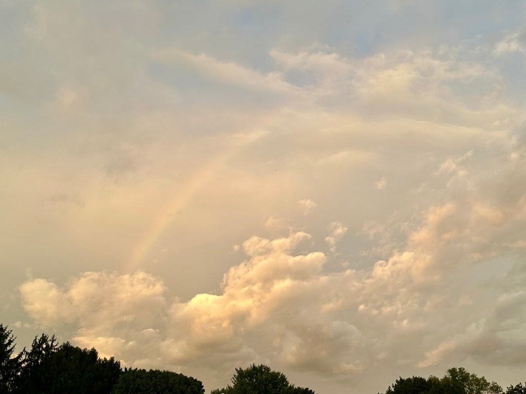
A faint rainbow at sunset. Photo by Bruce Stambaugh
The weather forecast didn’t call for it, but last night the westernmost edge of the significant nor’easter covered Virginia’s Shenandoah Valley just before sunset.
My wife and I were watching Major League Baseball when I noticed an eerie orangeish color in the northern sky. I rushed outside and spotted a faint rainbow in front of thick clouds in the eastern sky.
I grabbed my camera and headed to a farm with a clearer view to the west. The sun had already set behind the Allegheny Mountains, illuminating a few rogue clouds.
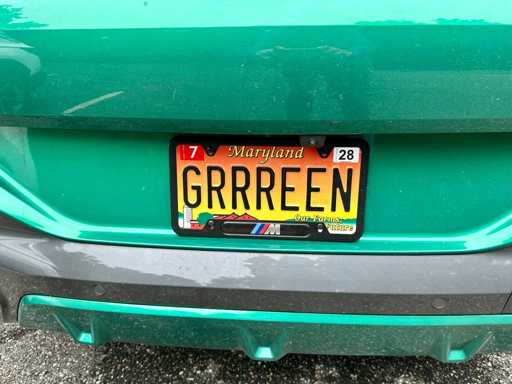
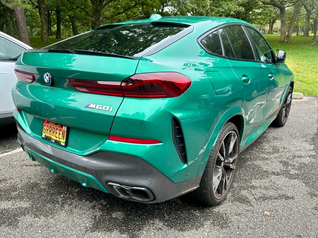
Finally, a vanity license plate I could understand.
So many times, I spot vanity plates that stretch my imagination and creativity to their limits. Try as I might, I can’t logically assemble the mix of letters and numbers to mean anything obvious.
For this car, seen in a parking lot in Shenandoah National Park, the meaning was clear as…well, green. And what a sparkling clean verdant color it was.
Here’s the full view of this “GRRREEN” car. My only question is: Was its owner promoting this flashy automobile’s screaming color, supporting ecology, or was it just naivete?
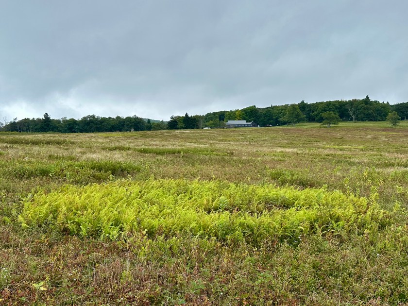
The fog rolled in at Big Meadows in Shenandoah National Park. Photo by Bruce Stambaugh
Our Ohio friends wanted to visit Shenandoah National Park. The weather was less than cooperative. We ventured out anyway.
On our way to the park, a deck of low clouds obscured our view of the Blue Ridge Mountains, where Shenandoah National Park is located. We pressed on. The dismal weather couldn’t deter our friends from wanting to experience this national gem for the first time.
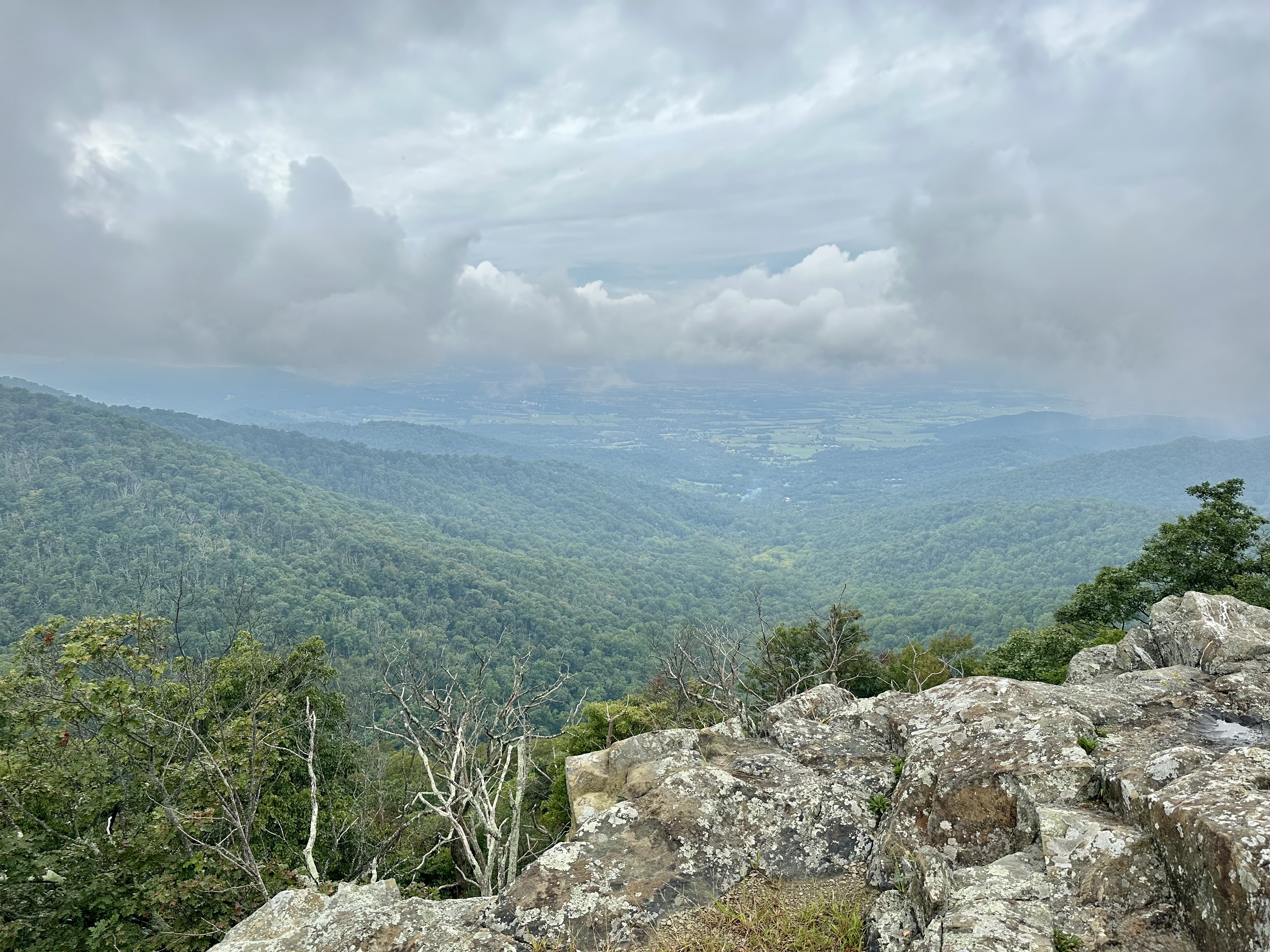
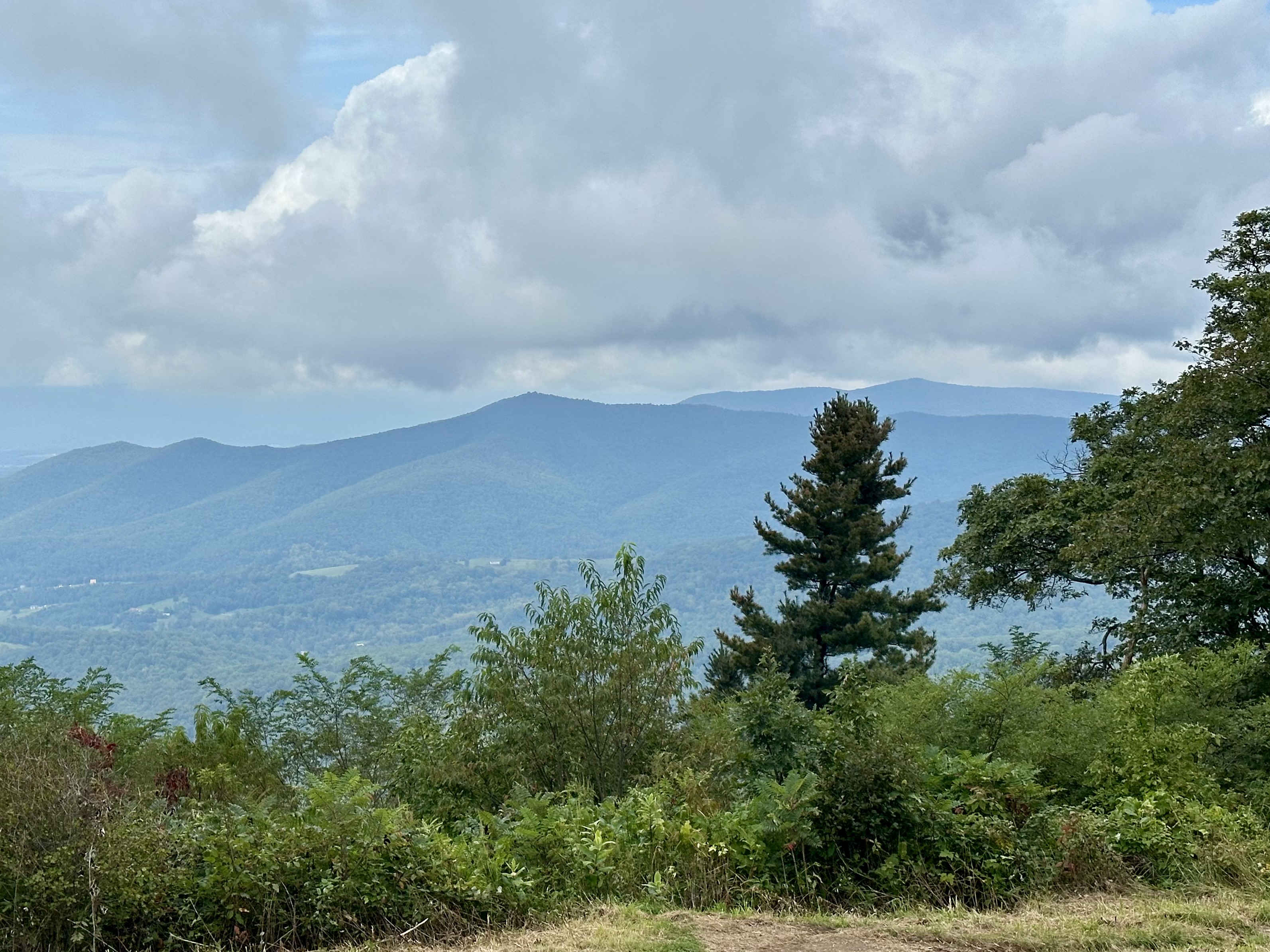
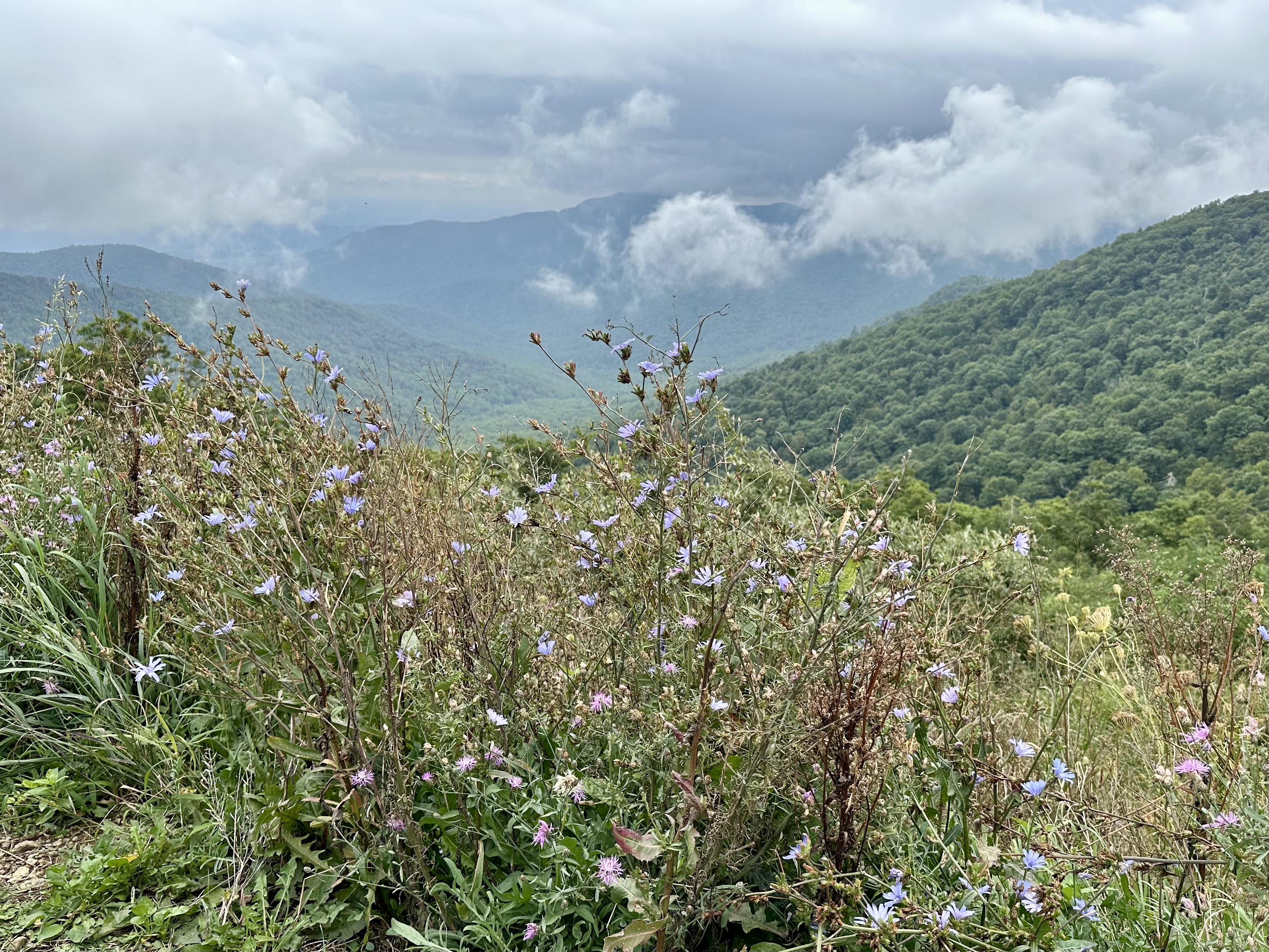
Once in the park, clouds rolled across the mountain landscape, obscuring most of the views of Shenandoah Valley from the several overlooks along Skyline Drive. Occasional rain dotted the windshield as we climbed higher.
Since our friends enjoy camping, I pulled into the historic Lewis Mountain Campgrounds. During segregation, this was the only area that allowed Blacks to be in the park. Today, it has maintained its rustic look with a camp store, several woodsided cabins, and campsites for tents and campers alike.
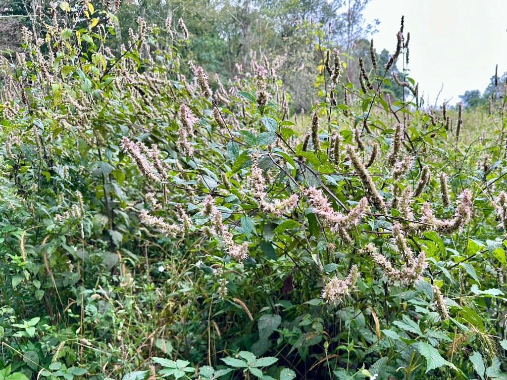
Mountain Mint at Milum Gap along Skyline Drive. Photo by Bruce Stambaugh
We stopped at Milum Gap, where the Millprong Trail connects with the Appalachian Trail a stone’s throw from the Skyline Drive. Honeybees and bumblebees buzzed at the late-blooming mountain mint blossoms.
We soon arrived at Big Meadows, and just as we exited the vehicle, clouds skirted across the landscape like a chilling phantom. We walked around anyhow.
However, the rain drove us back to the SUV, and we explored the expansive Big Meadows campground with many campsites, shower facilities, and a camp store. Our friends were impressed.
A fern circle in Big Meadows. Photo by Bruce Stambaugh
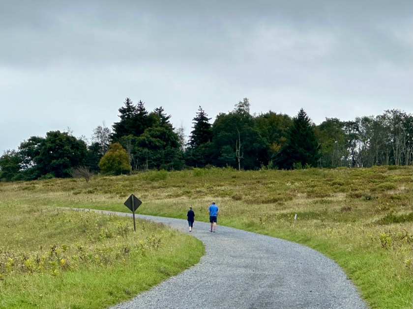
As we returned to the sweeping, prairie-like bowl of Big Meadows, the rain turned to a light mist. So, we chose a path and began to explore. Every time I see Big Meadows, I am always impressed with its expansiveness and the array of colors, even without bright sunshine.
In fact, the low, silvery cloud cover seemed to enhance the plants and flowers we encountered. The simple beauty beckoned us in, and we obliged.
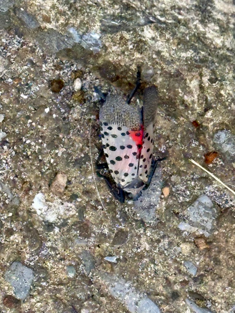
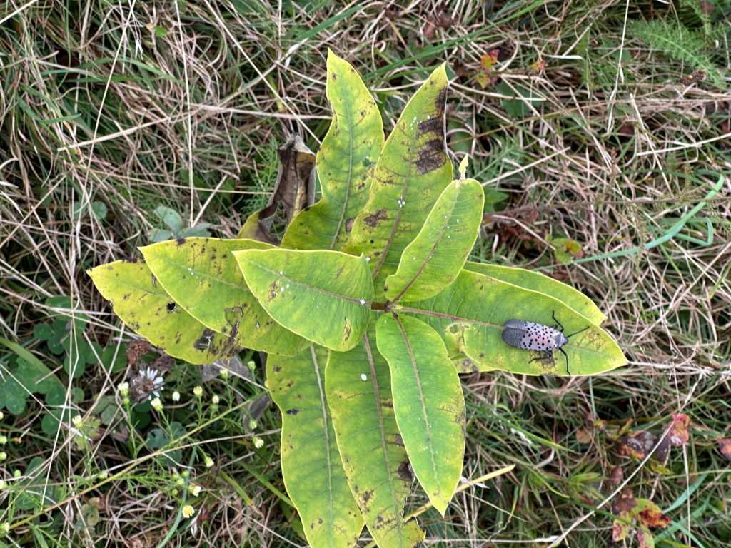
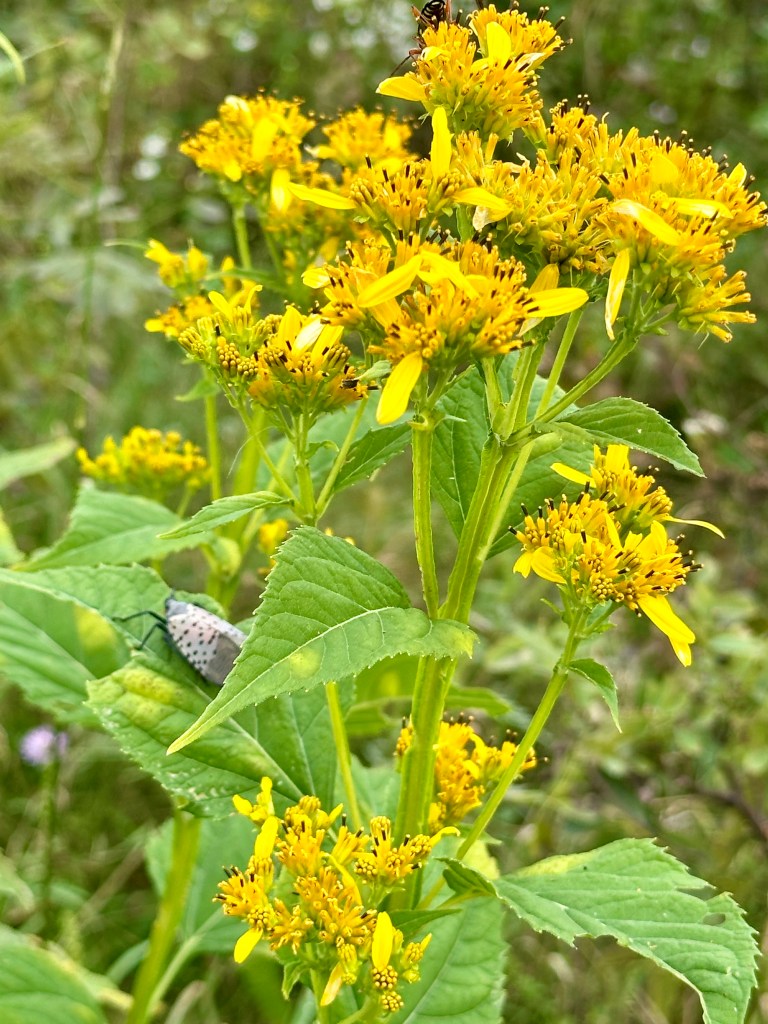
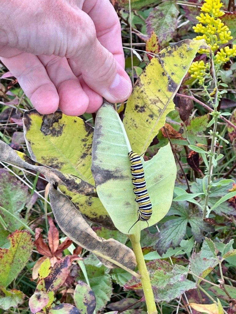
We had only taken a few steps on an established path when we spotted several Spotted Lanternflies clinging to the season’s second-growth Common Milkweed plants and other plant stems. Quick as they are, we still killed a couple of dozen of the invasive species that destroy woody plants and trees.
One of the Spotted Lanternflies we killed.A Spotted Lanternfly on Common Milkweed.
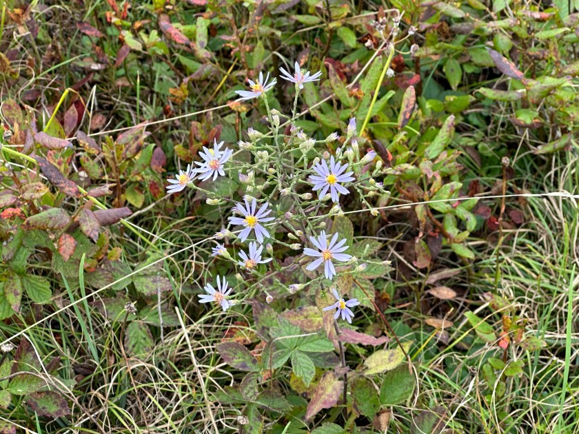
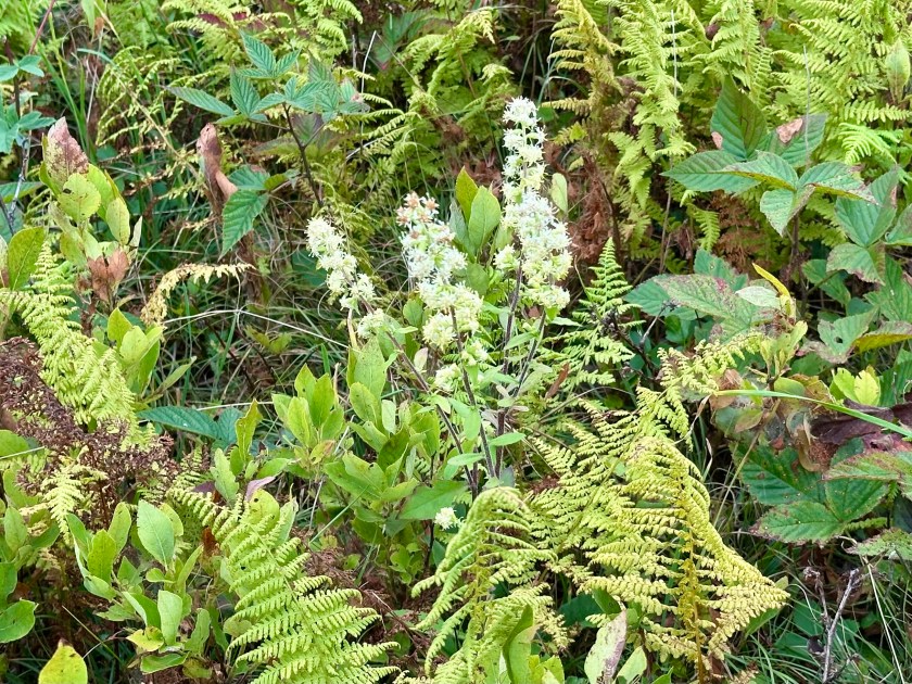
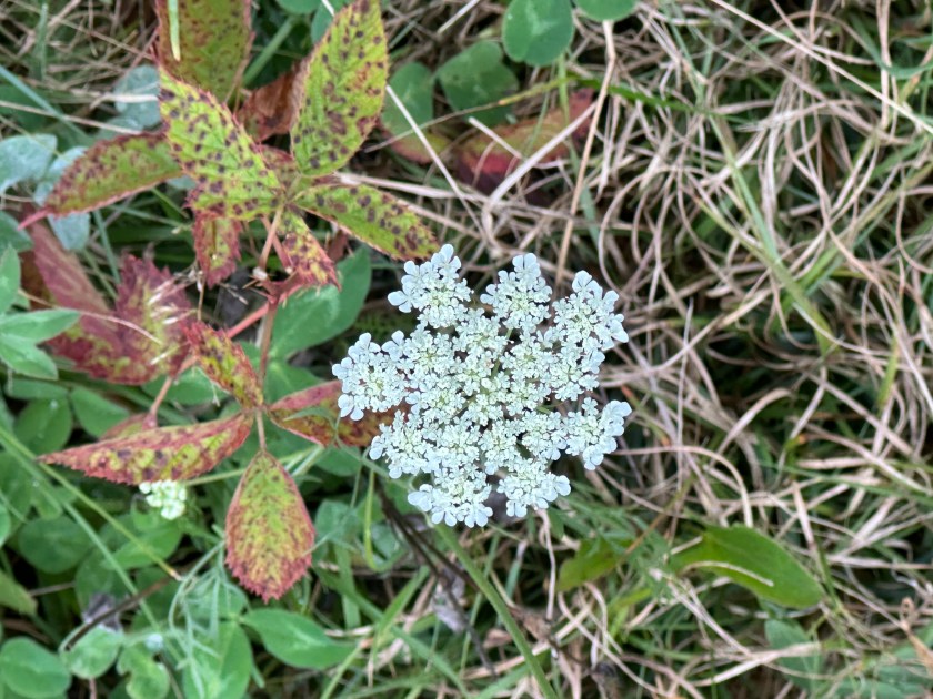
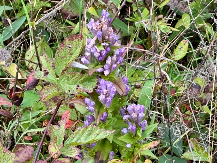
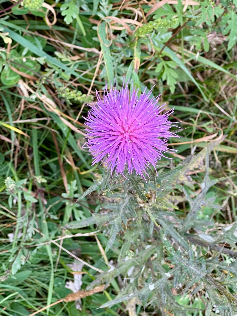
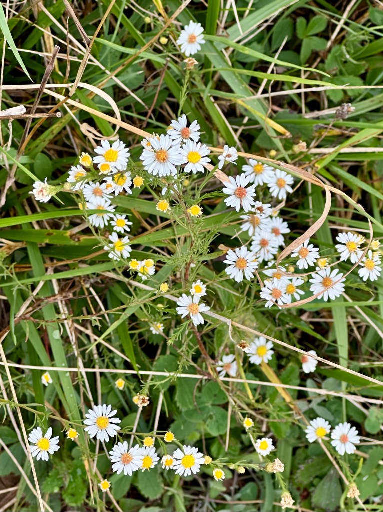
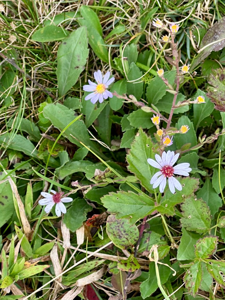
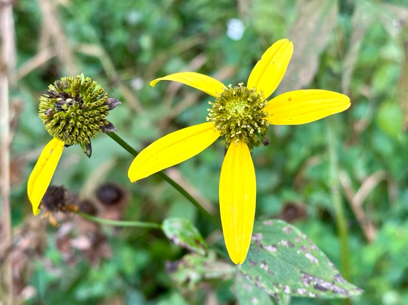
Still, we marveled at the russets, browns, and various greens of September. We admired many blooms and snapped photos to identify them later.
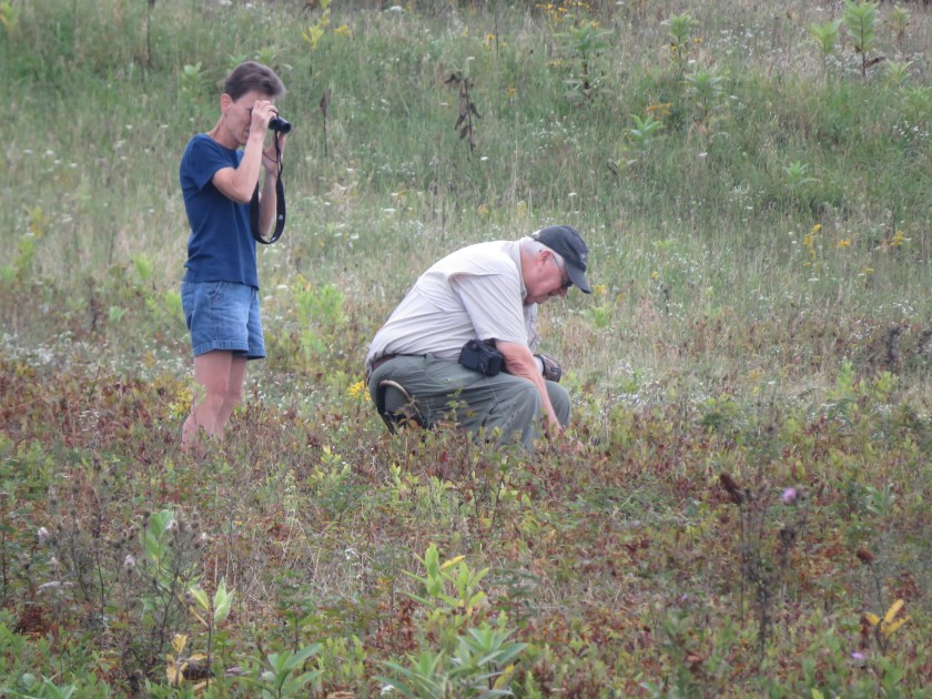
On another path across the way, we noticed another couple. The man was bent over, photographing something low to the ground. His partner stood behind, scanning the area with binoculars.
At first, I thought she was looking at birds. But the unseasonably cool, damp weather even kept the birds sheltered and quiet.
Curious, we approached the couple, who were more than happy to share their finds with us. The man pointed out the ginseng blossoms we saw him photographing.
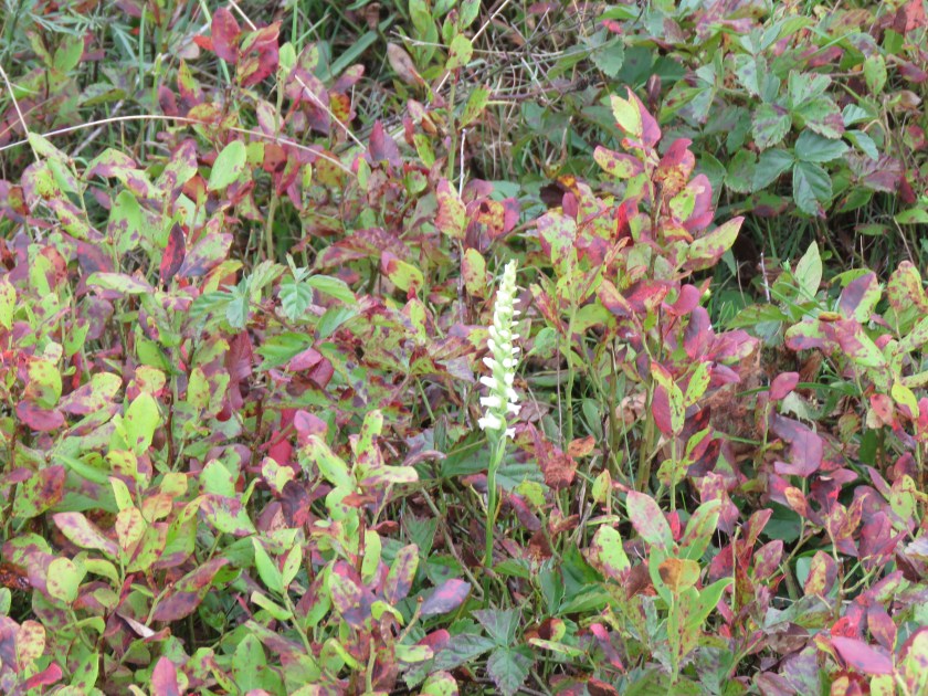
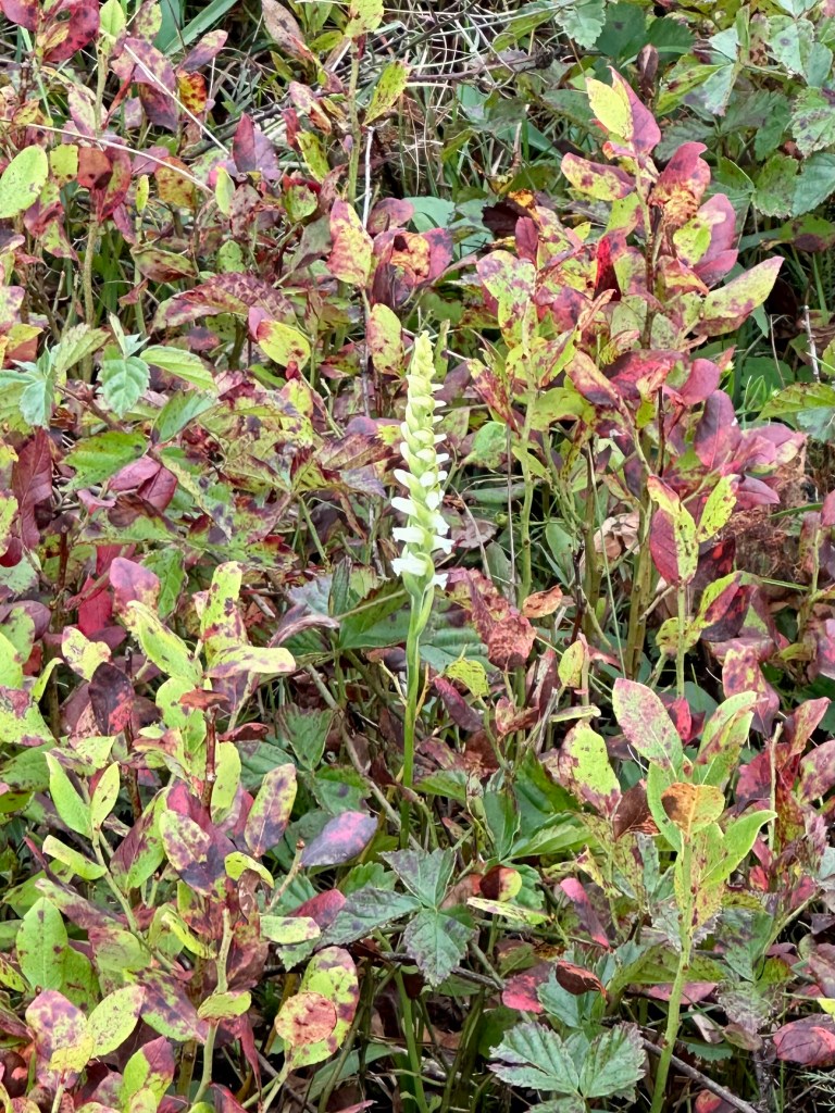
Using her binoculars, the woman excitedly exclaimed that she had spotted one of 60 of Virginia’s native orchids. We walked several yards together before we arrived at the lone, spiky bloom of the Ladies Tresses.
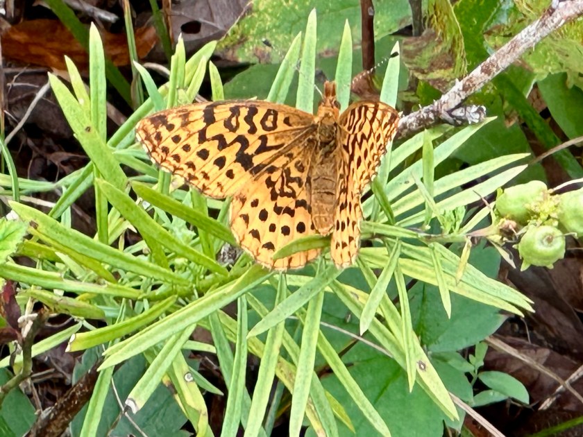
Soon, a Meadow Variegated butterfly landed nearby. I had never seen one before. It posed nicely for a photo.
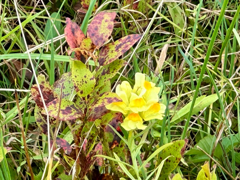
Then the amateur botanists sighted what they called a “butter-and-eggs” flower. This time we walked even farther and came upon a small area where the yellow and orange flowers flourished. Its official name is Yellow Toadflax, but it’s also called wild snapdragon. I learned later that it is a highly invasive plant.
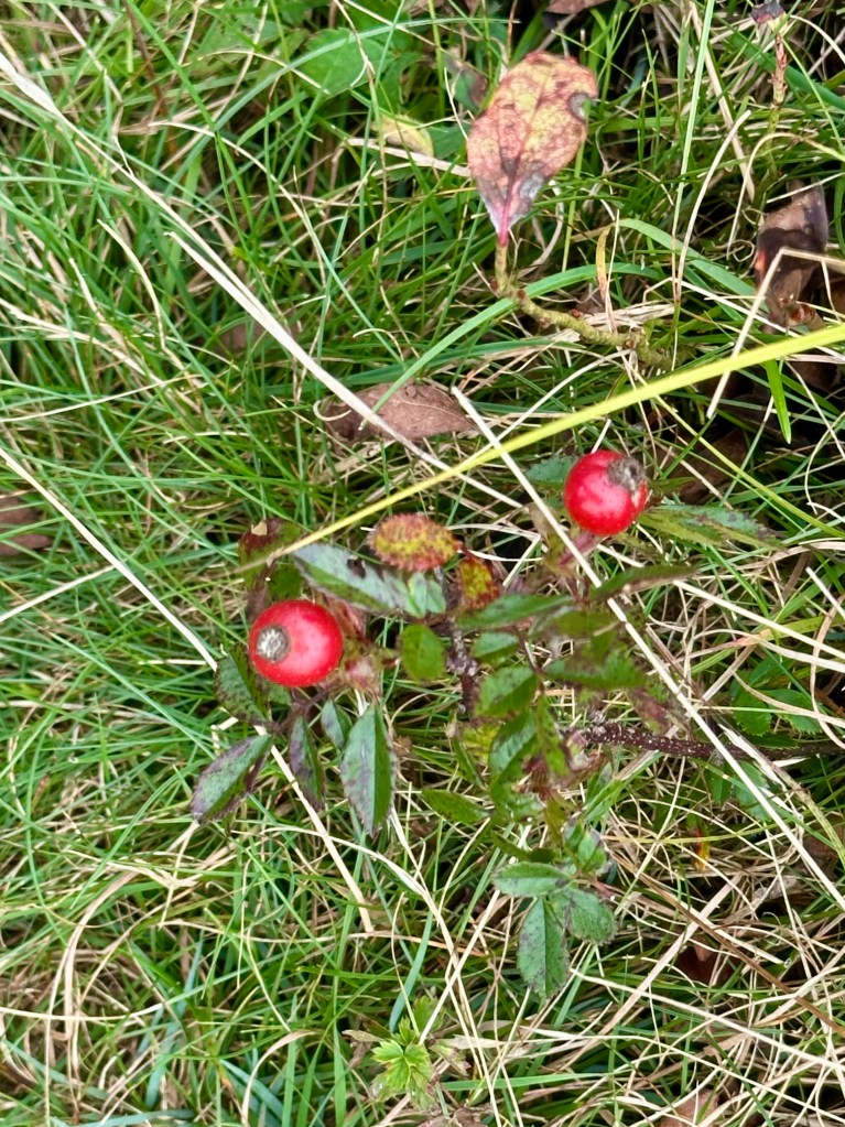
I found some rosehips along the path back to our vehicle. It looked like Christmas, with their rosy red berries contrasting with the plant’s shiny green leaves. Spiky Burnet flowers grew nearby.
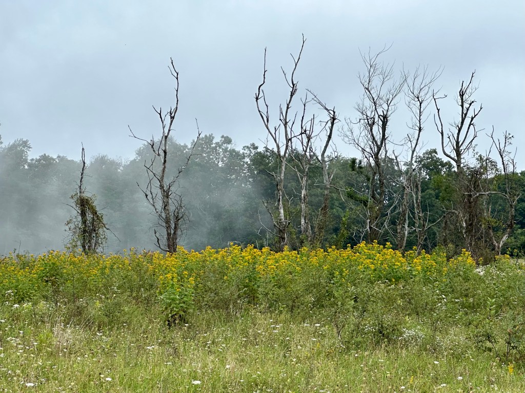
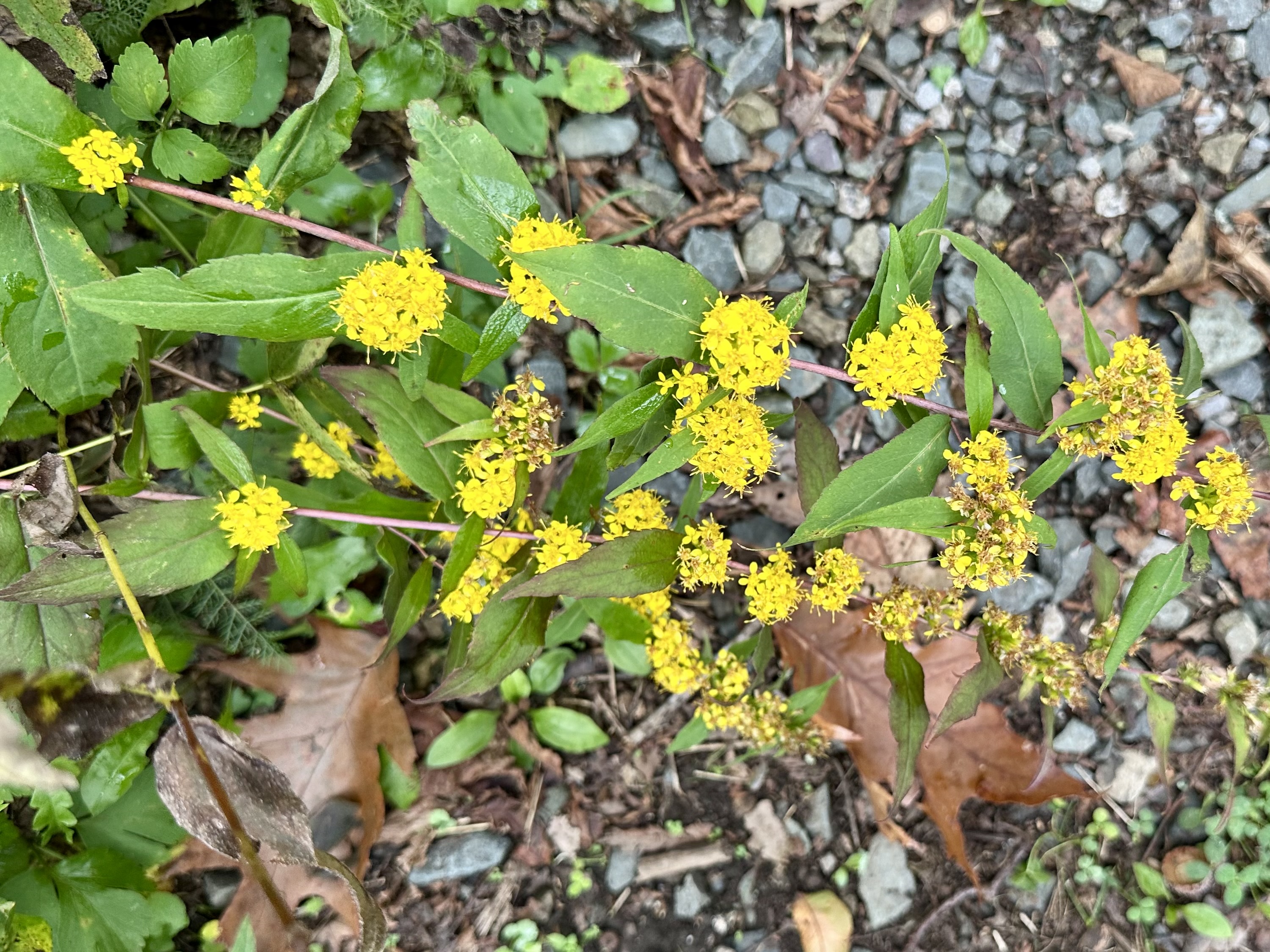
Stands of Goldenrod dominated open areas beyond Big Meadows, and especially along the road. Yet, we saw few in the high-elevation grassland of Big Meadows.
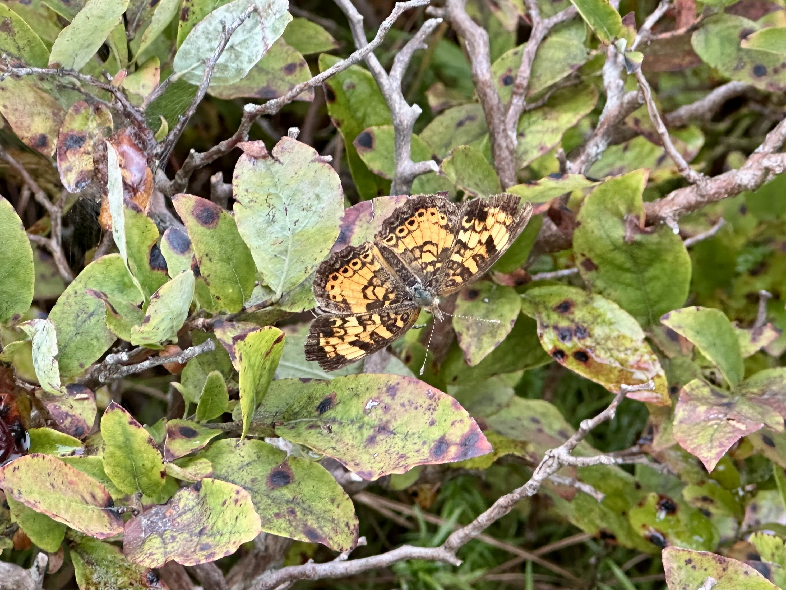
After basking in Big Meadows’ offerings, we headed north on Skyline Drive, hoping to find openings in the clouds at overlooks. We found a few and enjoyed the views before the clouds rolled back in. We took a short hike at Franklin Cliffs, and I found a Pearl Crescent butterfly resting on a blueberry bush.
Sadly, we also found the park trails sorely lacking maintenance, mostly because of the major staff and funding cuts implemented last year. Weeds and tree limbs, normally trimmed before the federal funding cuts, overhung the trails.
Despite the wet weather and chilly temperatures, our friends enjoyed their introduction to Shenandoah National Park. They assured us that they would be back.
We look forward to seeing them again, especially in that natural setting.
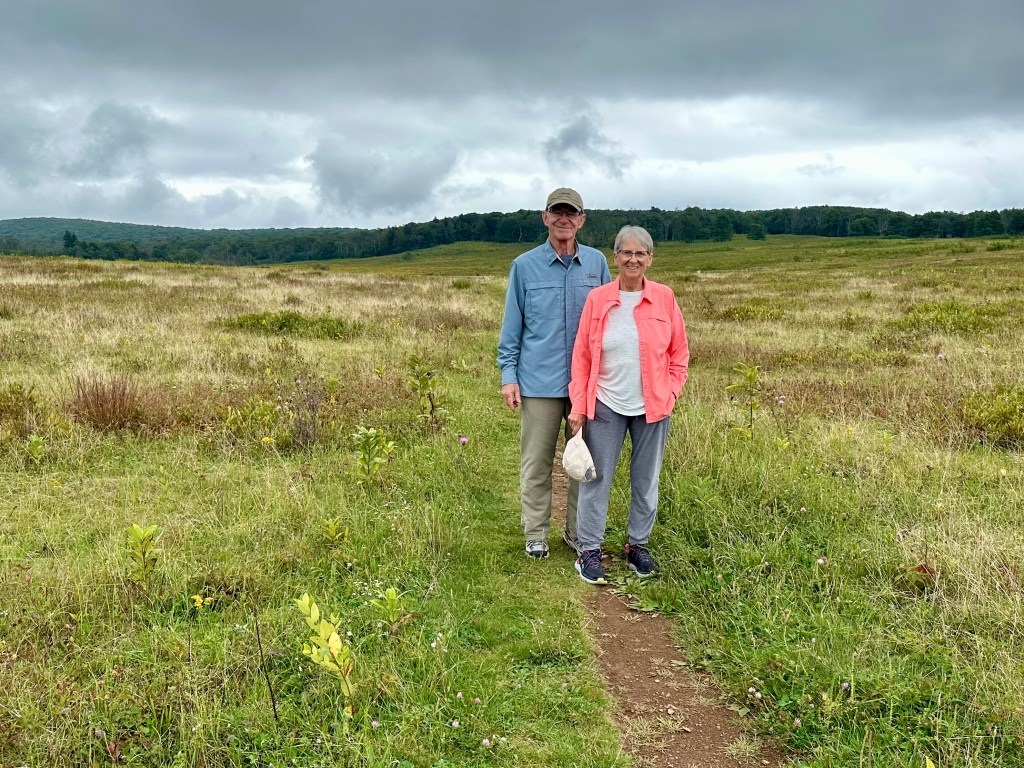
Our friends in Big Meadows. Photo by Bruce Stambaugh



You must be logged in to post a comment.