It was a perfect fall day for photos. Puffy, white clouds floated across a glorious blue sky. So, I went out and about in Virginia’s Shenandoah Valley.
Agricultural lands surround all the small cities and towns in Rockingham County, the third-largest in the Commonwealth. Lovely landscape photos abound.
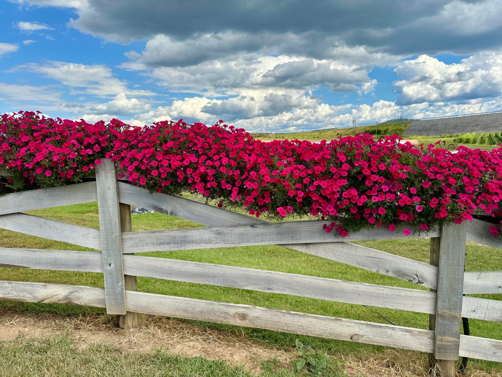
But so did this shot. This scene was at the entrance to a farm market. It would have caught any photographer’s eye.
With the clouds providing the background, the wave of fuchsia petunias strung on the weather-worn fence became the main focus of the composition.
I am most grateful to live in such a beautiful agricultural area that offers so many wonderful photographic settings.
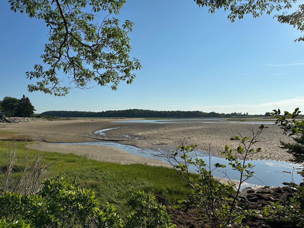
Low tide at 7:30 a.m. on July 13. Photo by Bruce Stambaugh
Knowing the times for high and low tides is critical when you live or vacation on the coast. That was especially true in our case.
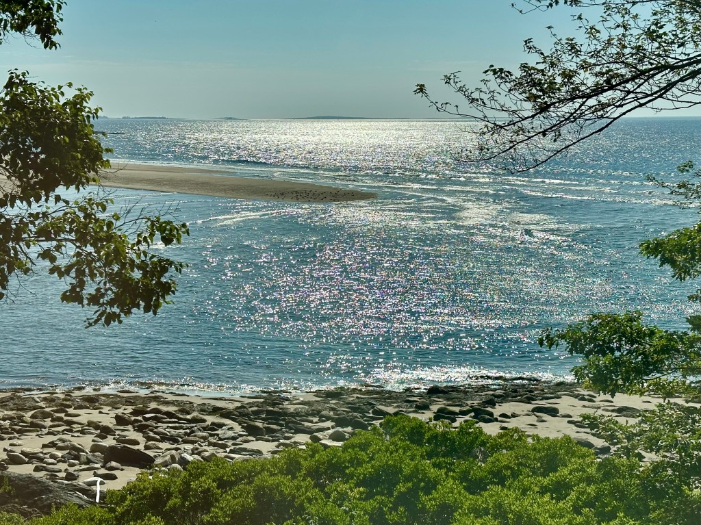
The cottage was located on a hillside overlooking a cove. When it was low tide, we had a beach. When high tide occurred, we had all the water between the cottage and the state park, a mile across.
Low tide exposed an extended sand bank on both sides of the Little River that trickled into the Atlantic. East of the river was a state park that drew lots of people seeking relief from the warm summer days.
The biggest crowds occurred when the tide was low. Young and old people alike could romp in the sand or play in the low water of the small river that ran in front of the cottage.
It was tempting to wade through the stream’s inches of water and check out what was on the other side. But getting distracted in such play and losing track of time might mean a long walk around to return to the park. Though the state park was only a mile away, the way the gulls flew, it would be a seven-mile hike if you ignored the rush of the incoming tide.
High tide at 8:38 a.m. on July 13. Photo by Bruce Stambaugh
With no intention of wading across the water, I used the morning low tides for another reason. Songbirds and shore birds were the most active before the heat of the day. I ventured out before breakfast to see what I could find.
I donned long pants, a long-sleeved shirt, and applied bug spray to protect myself from the biting flies and stinging mosquitoes. Just north of the cottage, a beach access led to a small marsh.
I hadn’t even reached the marsh when I discovered the mosquitoes seemed more attracted than discouraged by the insect repellent. Consequently, I did a lot of swatting as I birded.
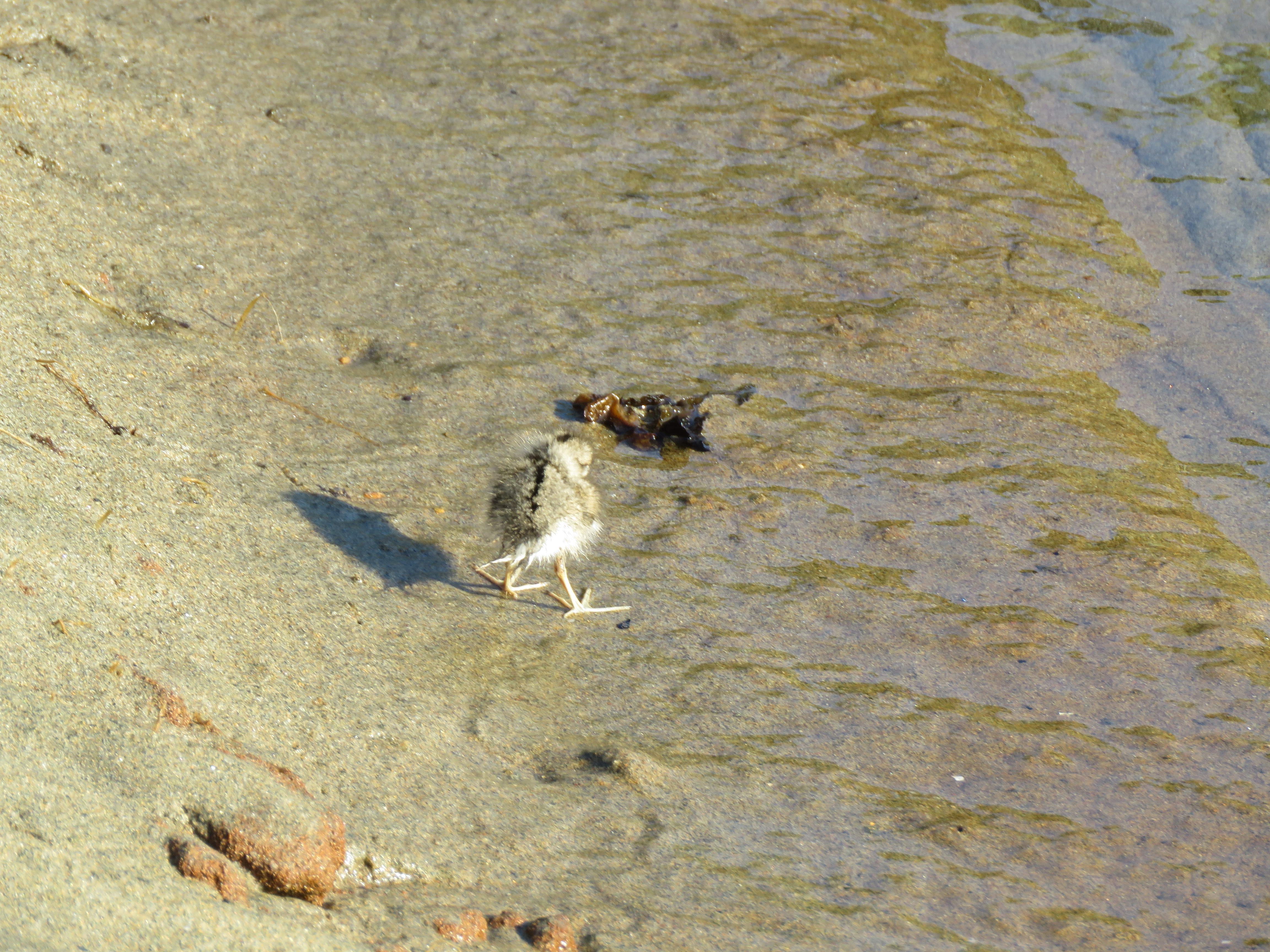
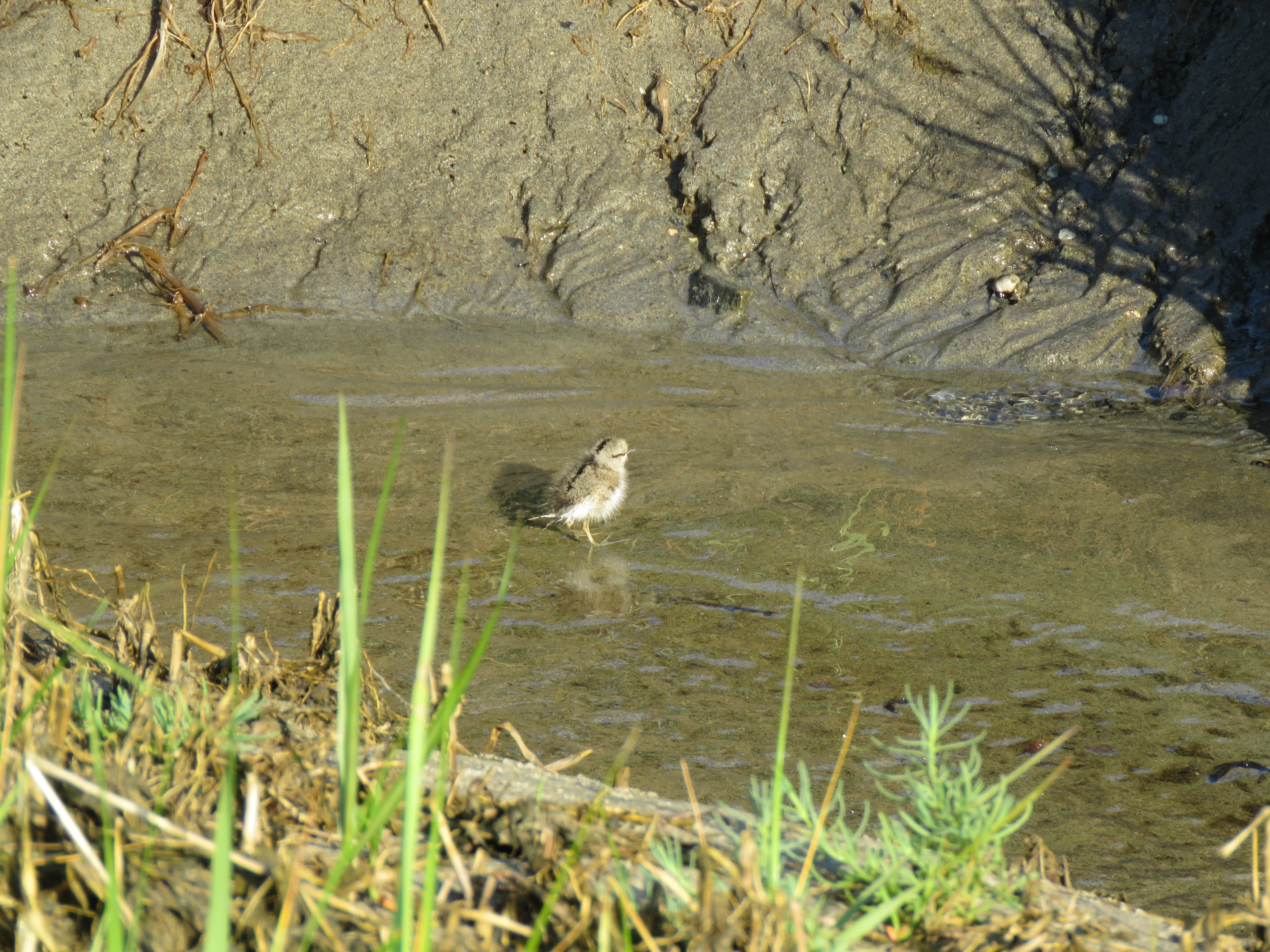
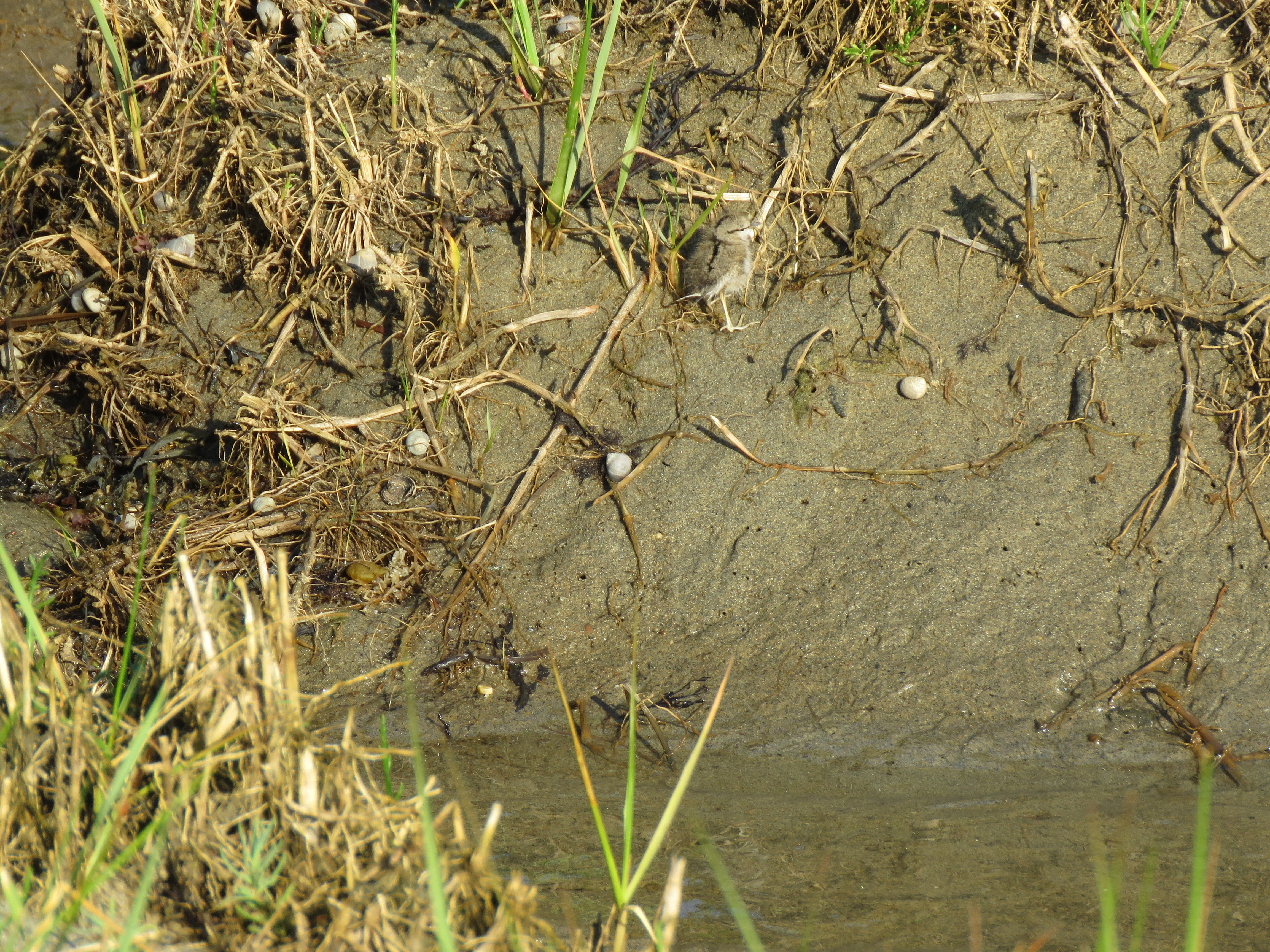
It wasn’t long, however, before I got a surprise I couldn’t have imagined. A fledging shorebird fresh out of the nest wobbled on unsteady legs in a dry depression among the marsh grasses.
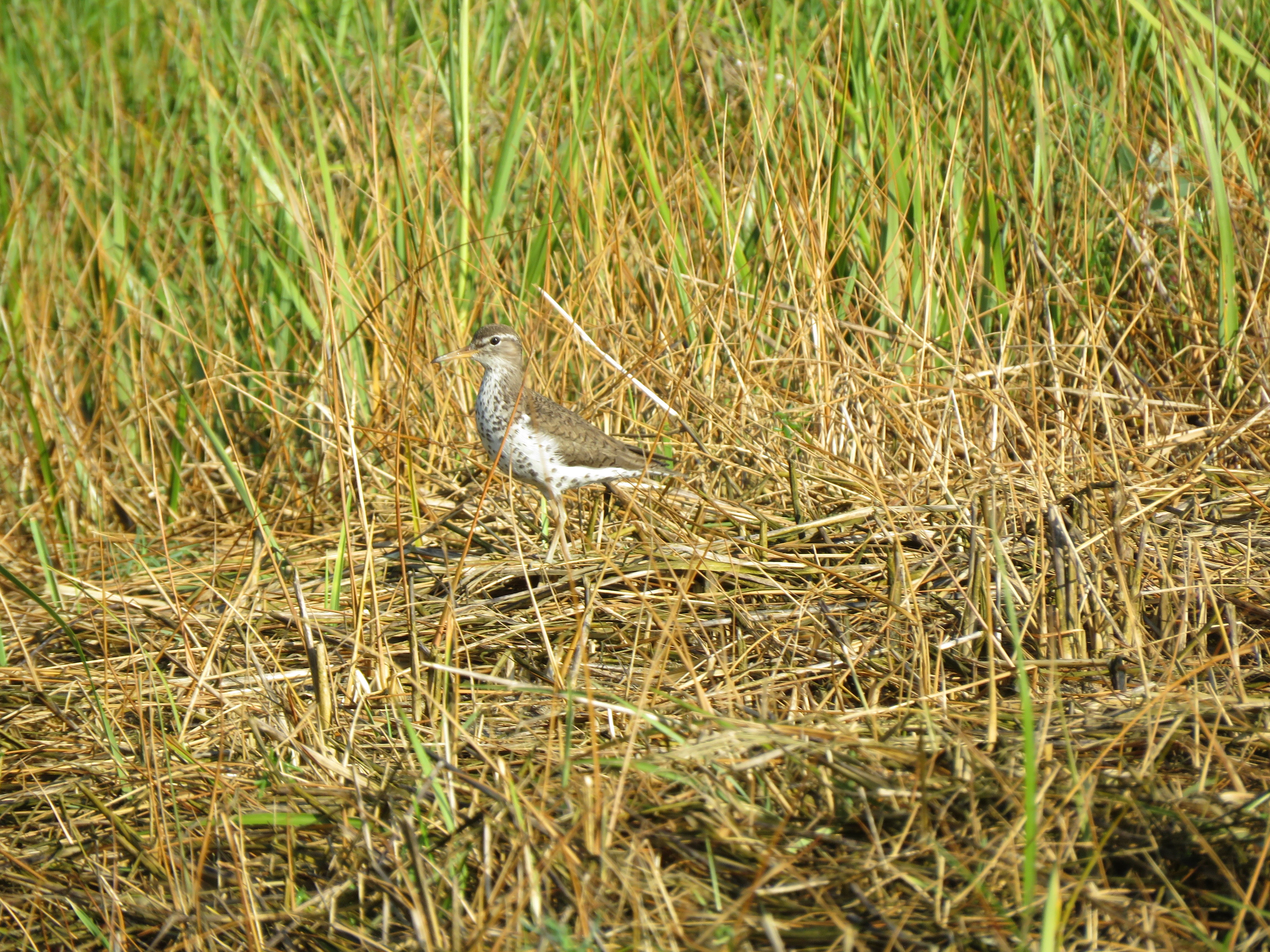
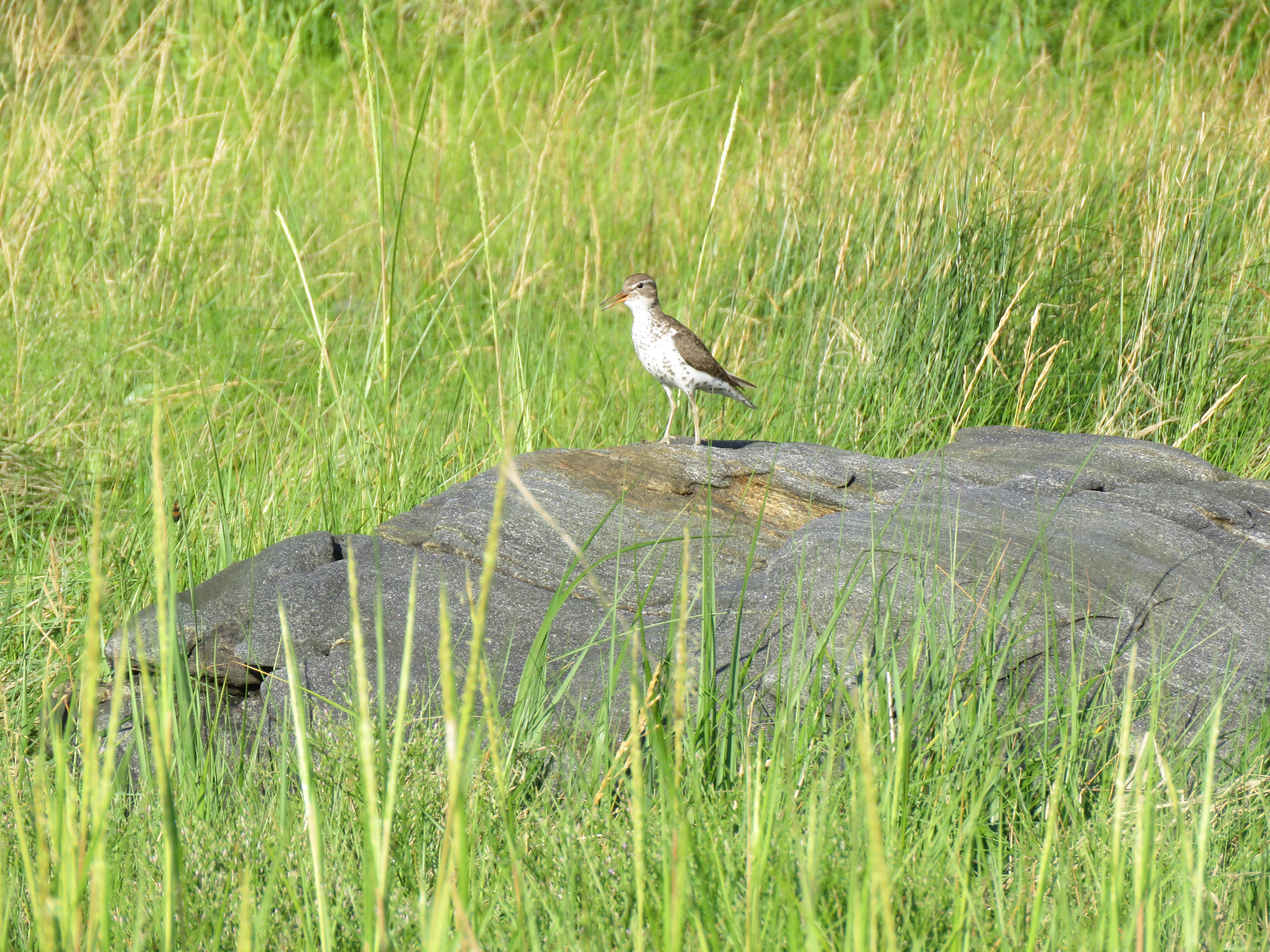
I wondered what kind of bird it was. I soon found out. A pair of Spotted Sandpipers flitted a few yards away, one on either side of me. Even if you’re not familiar with shorebirds, the Spotted Sandpipers have an easy giveaway. They bob their tails as they search on the sand and among the shoreline vegetation for food.
One sandpiper landed in the low brush in front of me, while the other landed on a large rock in the marsh. The spots on their breasts and flanks were clearly visible as their tails twitched rapidly up and down.
I took a few photos of the youngster and left that area so the parents and their baby could reunite. There were other birds to be seen. But because of the pesky insects, I didn’t stay long.
We spent the rest of the morning relaxing, enjoying the pleasant onshore breezes, the sunshine, and nature’s glory all around us. In the afternoon, our host had some errands to run in Bath, so we rode along to take in the old town.
At the ice cream shop. Photo by Diana Geis
As is typical of historic waterfront towns, the original storefronts and restaurants face the shoreline, in this case the Kennebec River. We browsed a bookstore that only sold books the library no longer wanted to carry. The librarian charmed us.
Up the street, we stopped in an old-fashioned candy and ice cream shop. The delicious ice cream hit the spot.
After dinner at the cottage, our host got word of some black birds in a marsh not far away. We all wanted to check it out.
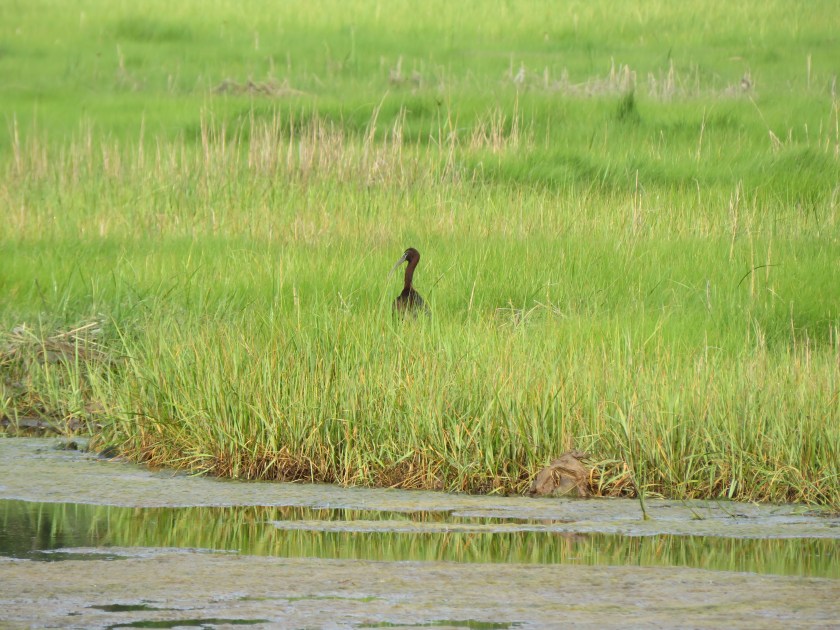
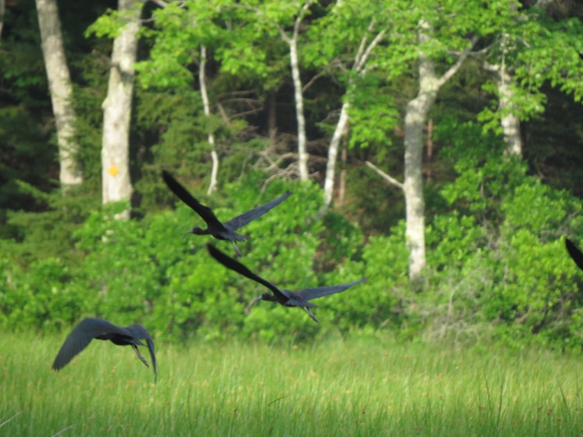
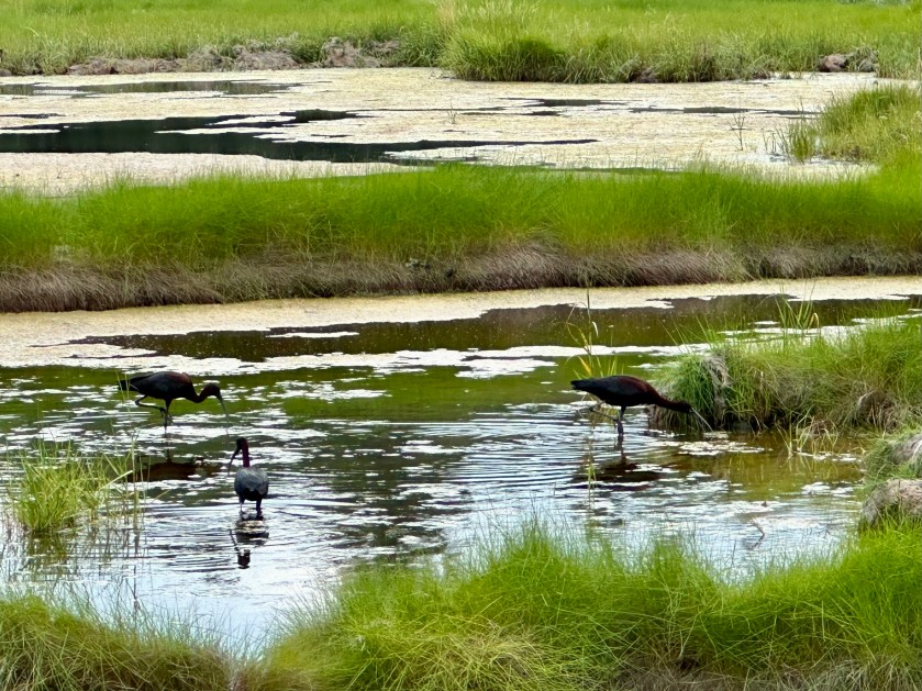
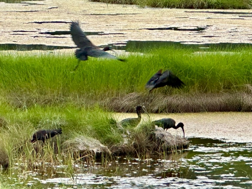
I stopped on the berm at a wetland in the curve in the road. A flock of 30 Glossy Ibis probed the marshland with their long curved bills, designed to capture unsuspecting crustaceans hiding deep in the muck.
Seeing these birds this far north on the East Coast was the second surprise of the day. This had to be the northernmost point of their summer range. They winter in Florida and along the shores of the Carolinas, Georgia, and the Gulf Coast.
To happen upon the young Spotted Sandpiper in the morning, and then the Glossy Ibis in the evening was a birder’s dream. The relaxing, moment-by-moment in-between time of enjoying the company of my wife and our host made for an astonishing day.
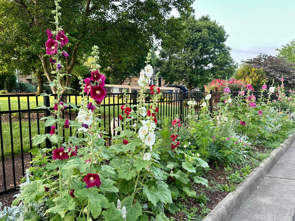
Rows of Hollyhocks greet me on my morning walk. Photo by Bruce Stambaugh
My morning walks in our suburban neighborhood reap several rewards besides exercise.
I enjoy greeting other walkers, runners, and dog walkers. Though it has lessened recently, I still enjoy hearing the birdsong as I make my way.
Song sparrows, Northern Cardinals, Carolina Wrens, House Wrens, House Finches, American Robins sing away, while the Blue Jays and Common and Fish Crows signal with their various alerts and caws.
As the bird calls grow fewer, the many flower gardens send forth a rainbow of colors from season to season. Summer, of course, is the climax of this natural colorful abundance.
I enjoy the Knockout Roses, Irises, Tulips, and other floral displays that, week by week, transform spring into summer. Of all these beauties, Common Hollyhocks are my favorites.
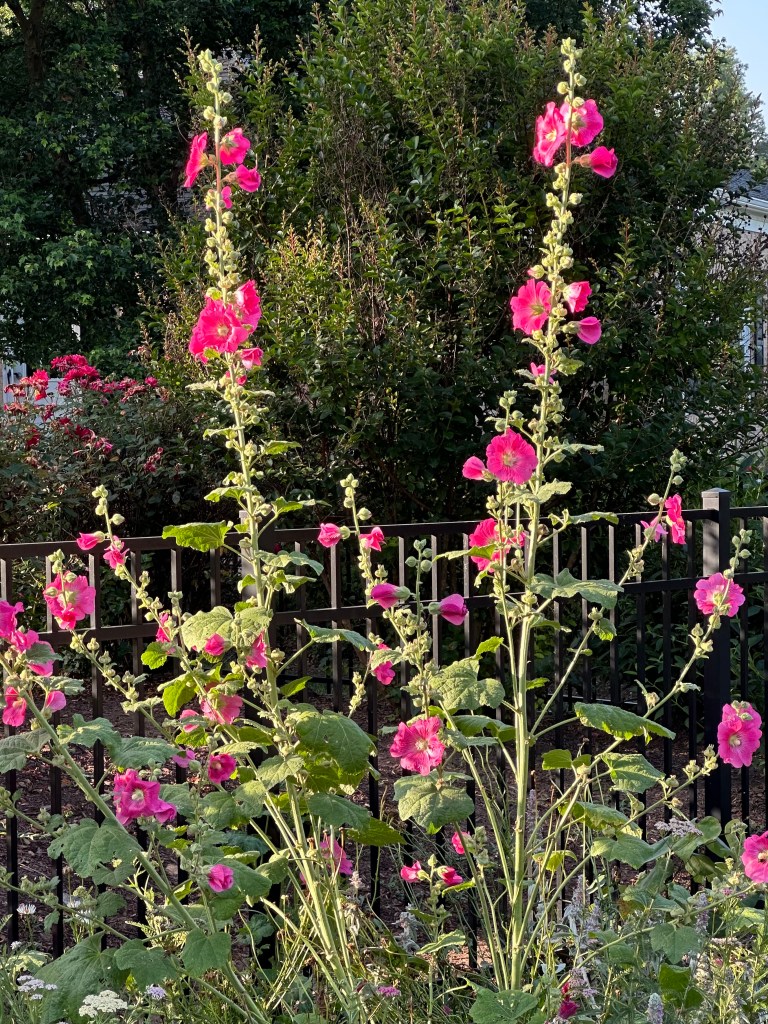
Their mostly pastel colors welcome me as I turn the corner for home. From deep burgundy to pink to white, they stand tall between the street and an iron fence that keeps a pair of Brittney Spaniels in their spacious backyard.
Each time I see those beds of Hollyhocks, visions of watercolors flash before me from my elementary school days. I remember those lovely illustrations in our reading books from the “Alice and Jerry” series.
With all the troubles of the world swirling around us, it’s nice to be reminded of simpler, less troublesome times.
The early morning sun highlighted the taller stalks of Hollyhocks. Photo by Bruce Stambaugh
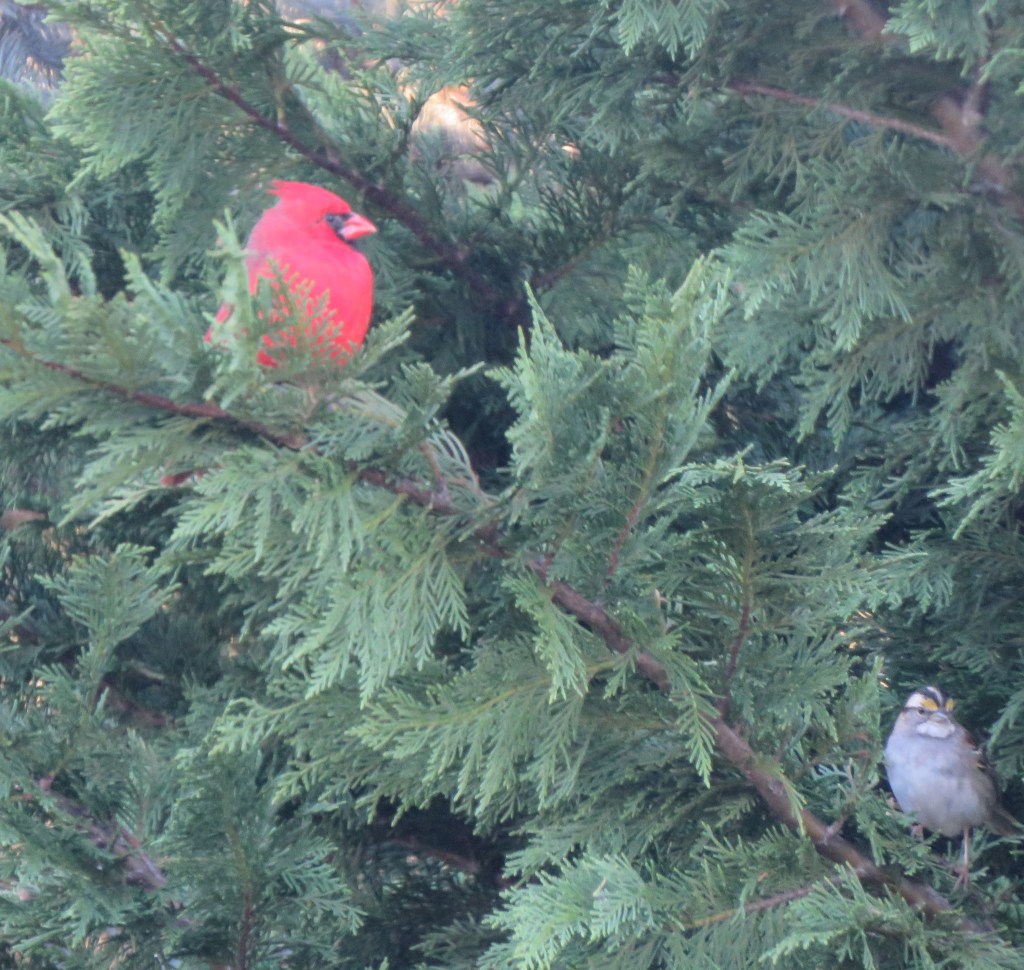
Sometimes photographers get lucky. I spotted this male Northern Cardinal perched in the evergreens behind our home. I took several shots as the bird turned and presented different poses.
When I uploaded the photos to my laptop, I had no idea that the White-throated Sparrow had popped out of the dense foliage. It wasn’t in any of the other photos. I cropped the photo because the sparrow is barely in the frame.
Photo by Bruce Stambaugh 2026
So, when I thought I was capturing an image of one bird, I ended up with two.
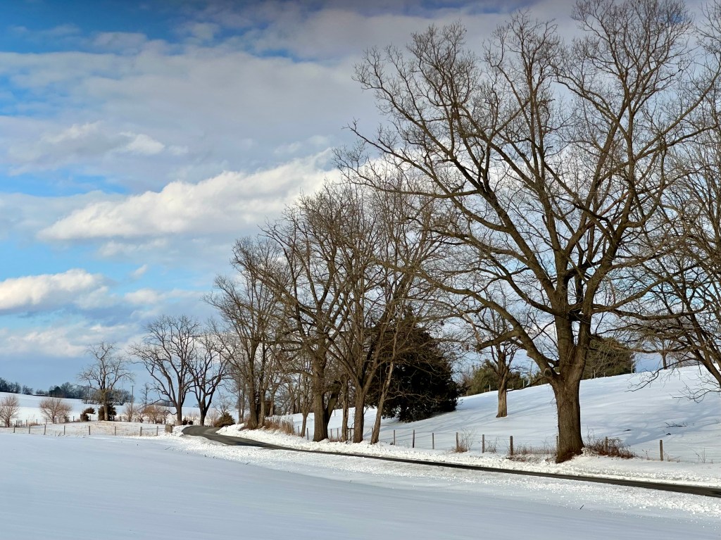
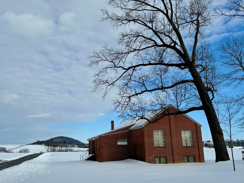
A rural road cuts through the snow. Photo by Bruce Stambaugh
It took a rare bird sighting to get me out of our warm home and into the frigid weather after a snowstorm dumped six inches of snow and sleet onto Rockingham County, Virginia.
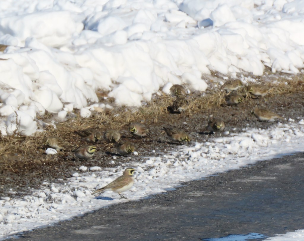
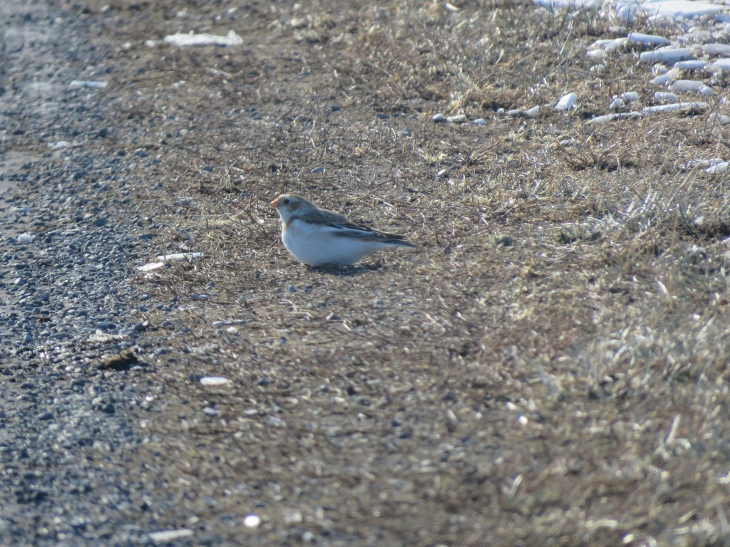
A lone Snow Bunting had been spotted along with small flocks of Horned Larks in an area noted for rarities. A Snowy Owl was spotted there in November 2024.
I was familiar with the birds’ location, but I still took the long way around to get there. I wanted to drive the main roads to ensure my safety.
Like most areas hit by the recent storm, the temperatures dropped to record or near-record marks as the system slowly moved away. Consequently, the snowpack froze as the nighttime temperatures dropped to single digits.
That made snow removal difficult, and salting highways inefficient. Still, the roads were clear, but the plowed snow piled up like concrete construction barriers on both sides of the road, blocking roads and sidewalks.
Before I ever turned onto Lumber Mill Road, a flock of Lapland Longspurs flew in front of my stopped vehicle. A passing car spooked them, ruining my photo opportunity.
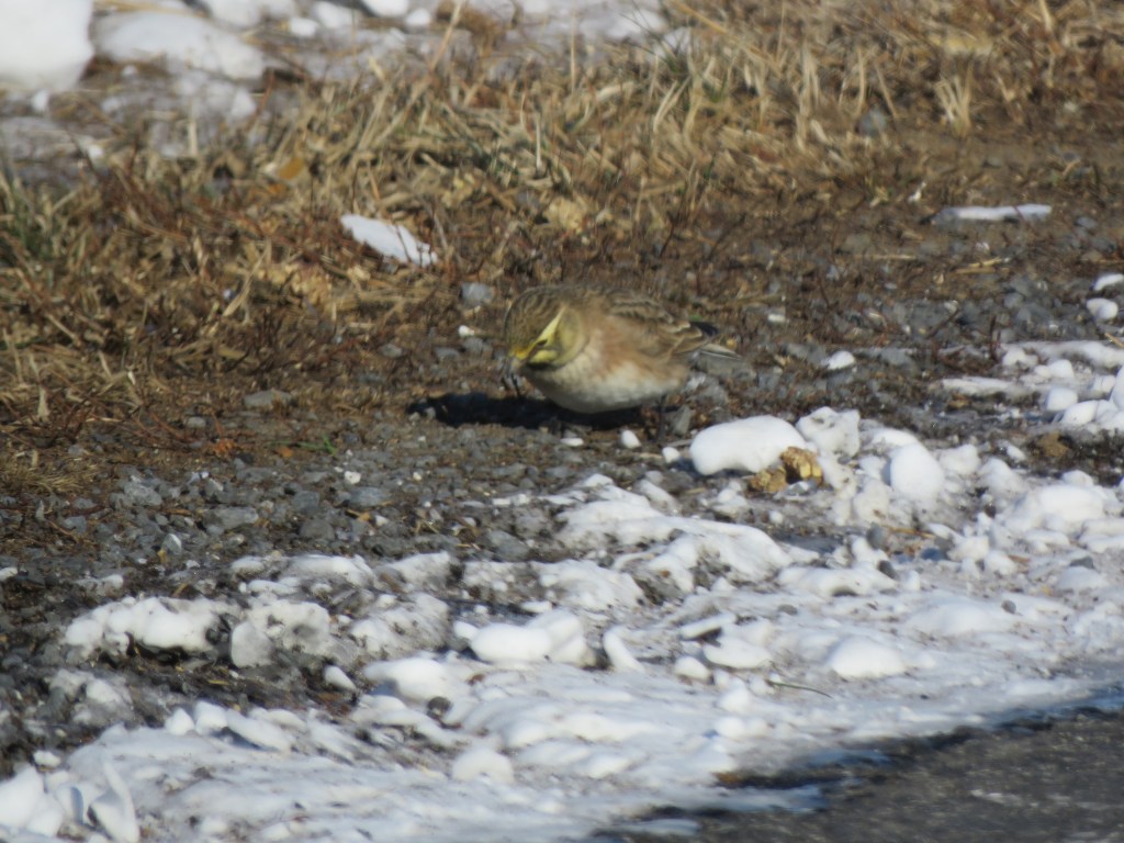
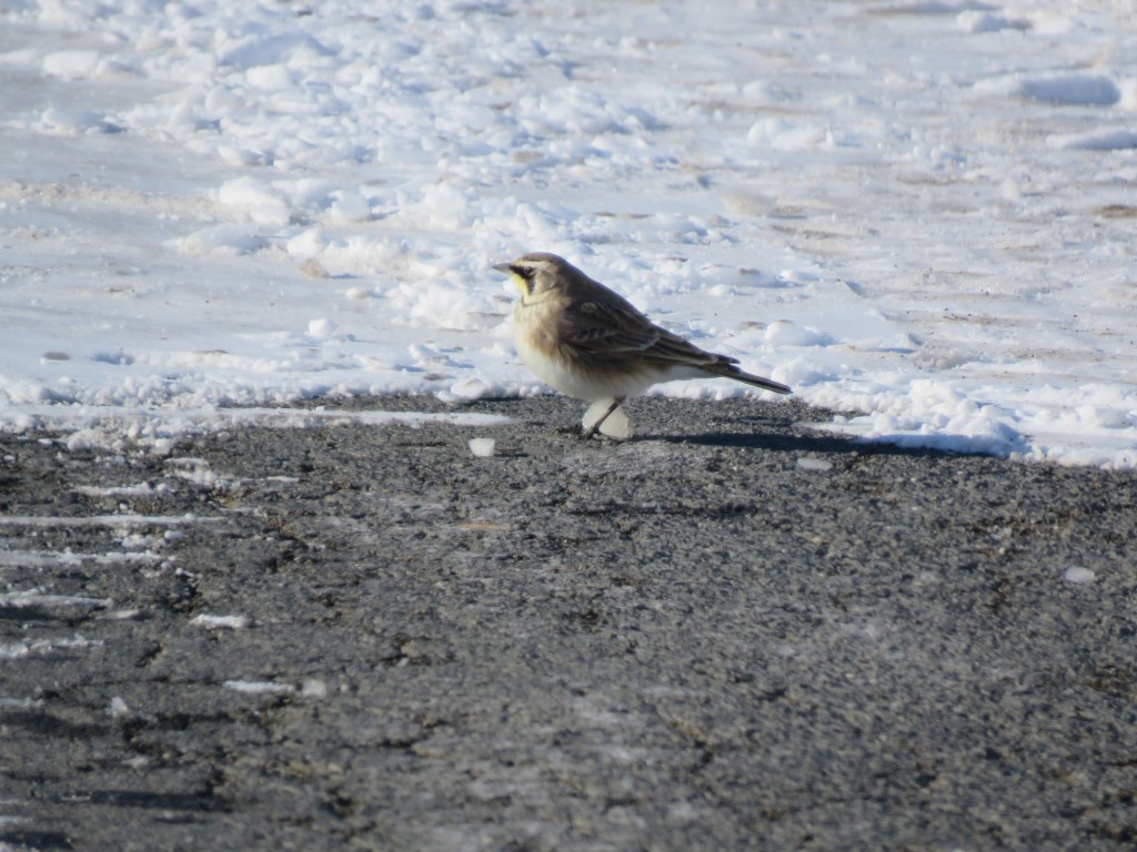
As I approached the area where the Snow Bunting had been seen, small flocks of Horned Larks flew in loops over the snow-covered farm fields on either side of the roadway, then landed close to where they had launched. The birds were feeding along the roads where the snowplow had exposed patches of weedy grass. The birds also used the grit and salt to help digest the seeds they ate.
Horned LarksA Horned LarkA Horned Lark in the road
Please click on the photos to enlarge them.
Having photographed the Horned Larks, I proceeded a few yards down the road, and the Snow Bunting flitted farther ahead. I stopped my SUV and used my telephoto lens, not wanting to scare the bird again.
Given the harsh weather conditions, schools and many businesses had closed. Sidewalks and parking lots in the more urban areas had yet to be plowed. The extreme cold weather compounded the problem.
With the sun bright during the day, the surface layer of the snow cover melted slightly, and the snow froze harder as nighttime temperatures fell. Those conditions kept most people at home, significantly reducing the traffic on roadways.
The lone Snow Bunting. Photo by Bruce Stambaugh
Alerted by an email, other birders soon arrived, and I was happy to point out where the Snow Bunting had appeared. I was excited to see it myself, since I had never seen Snow Buntings in Virginia. Plus, it was unusual to see only one. Snow Buntings commonly appear in small flocks, and the only other time I had seen them was 50 years ago in my backyard during a rare blizzard in Ohio.
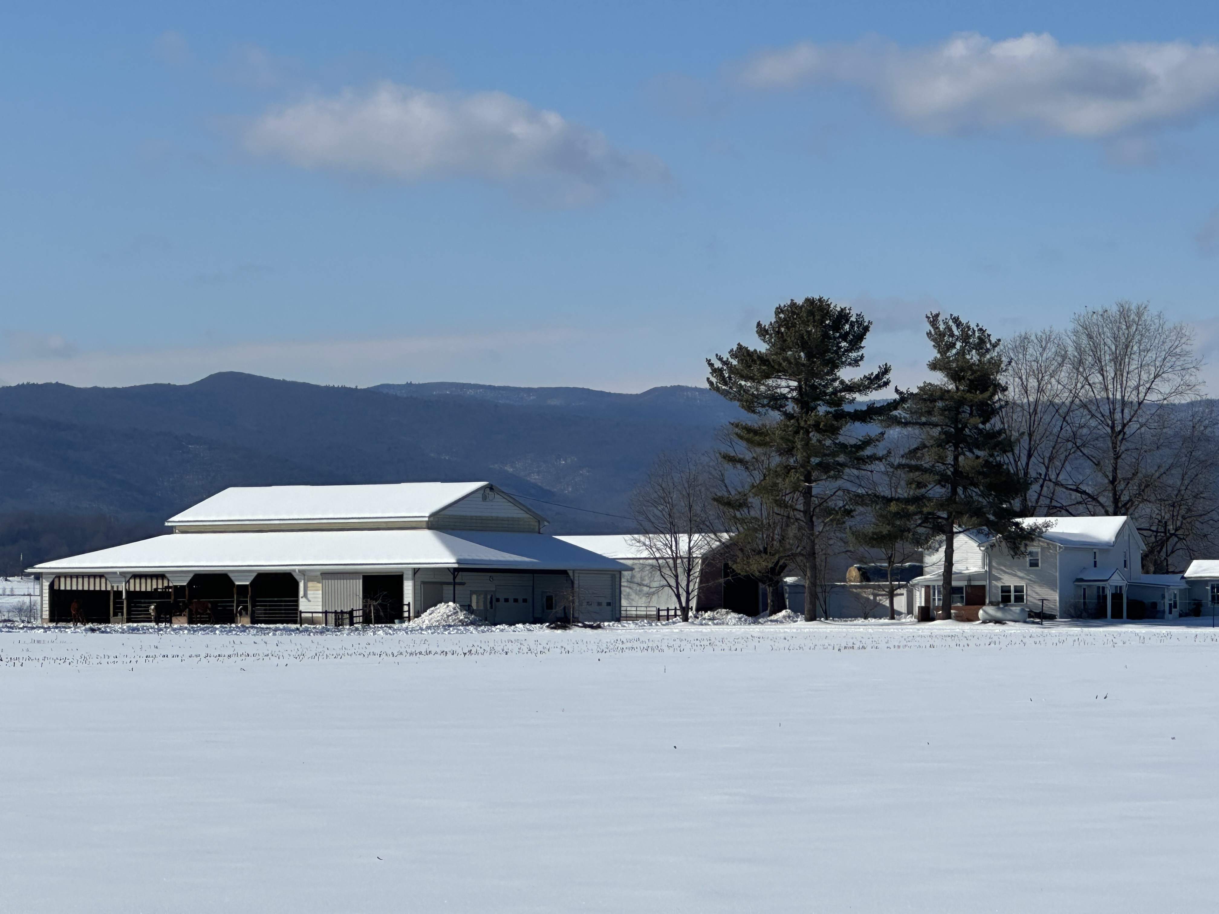
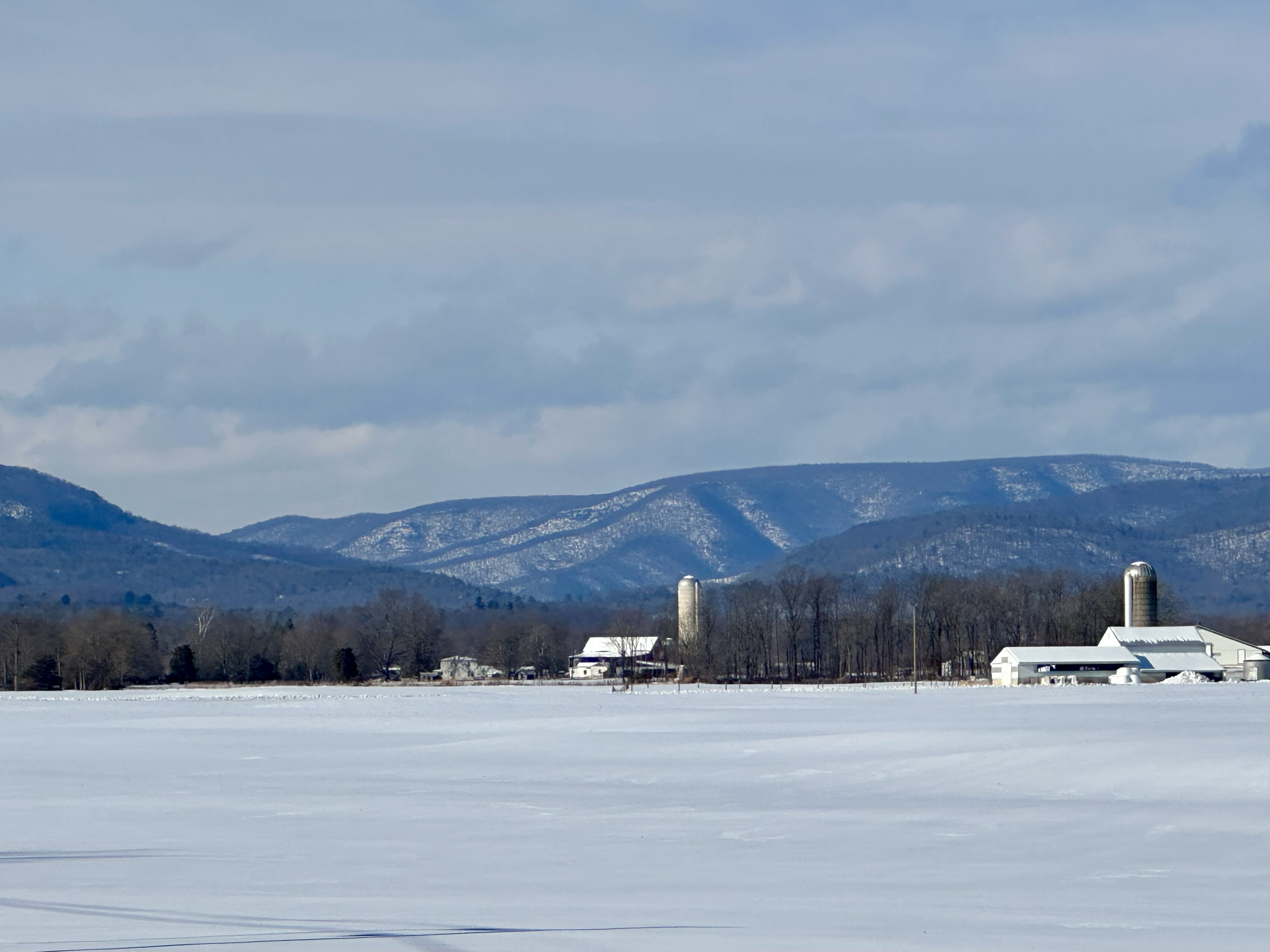
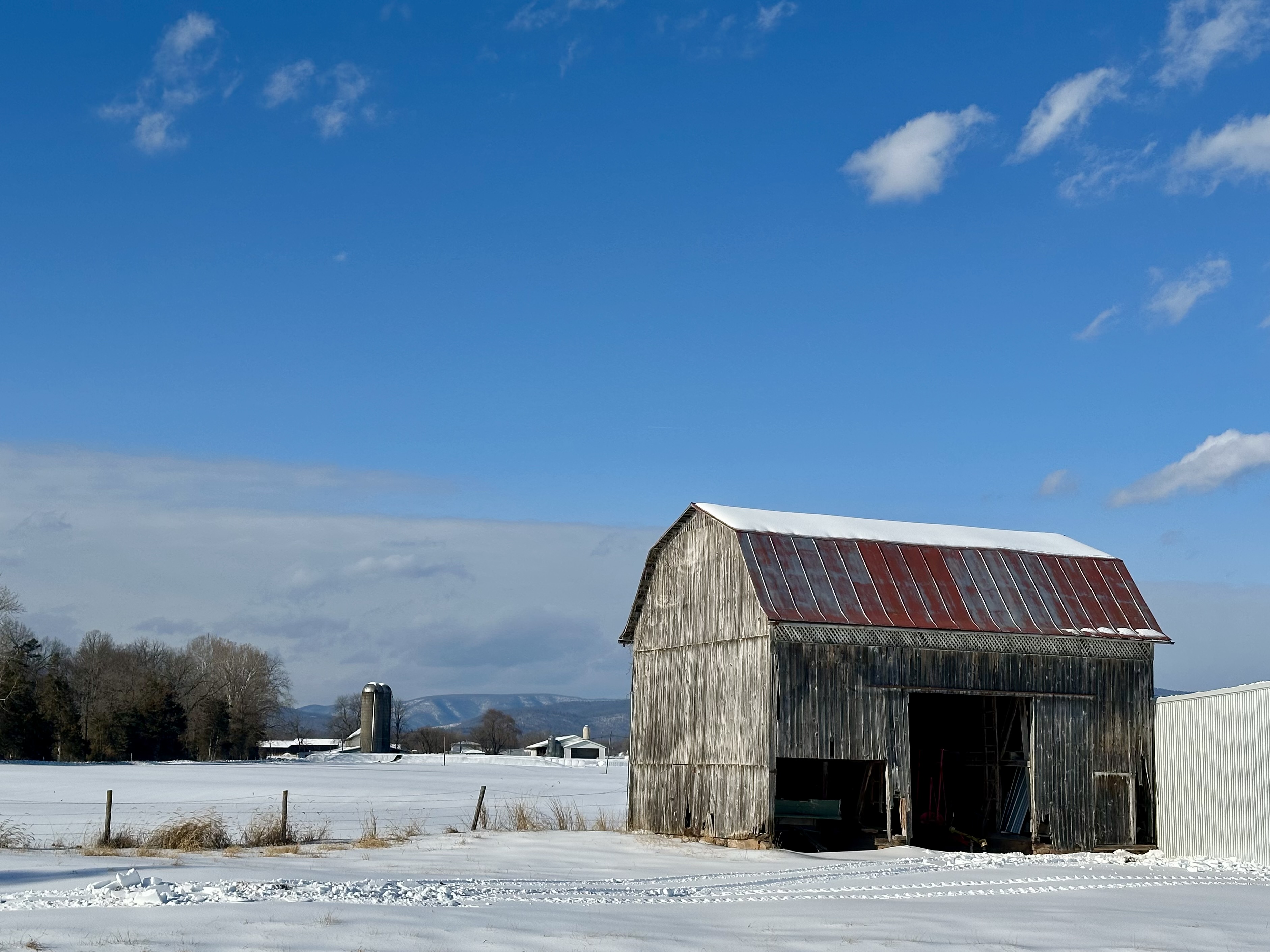
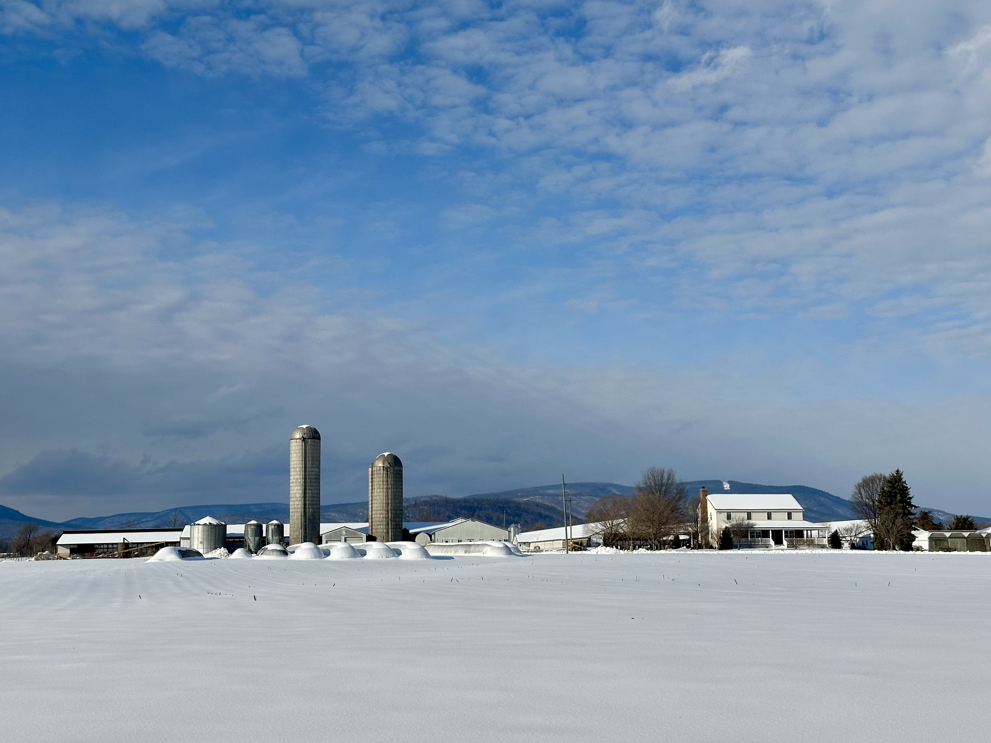
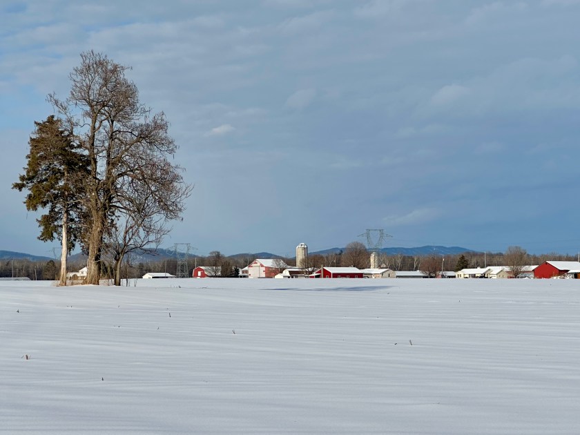
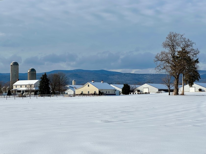
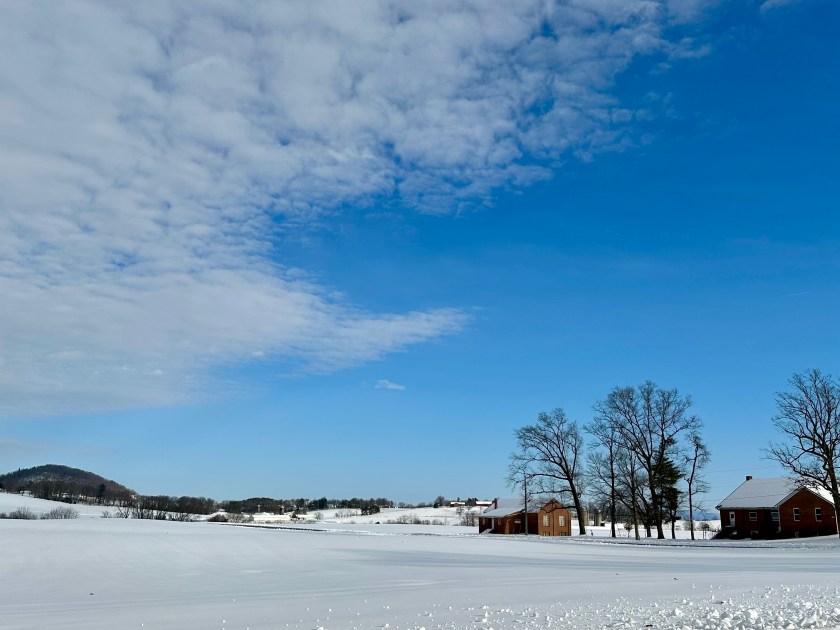
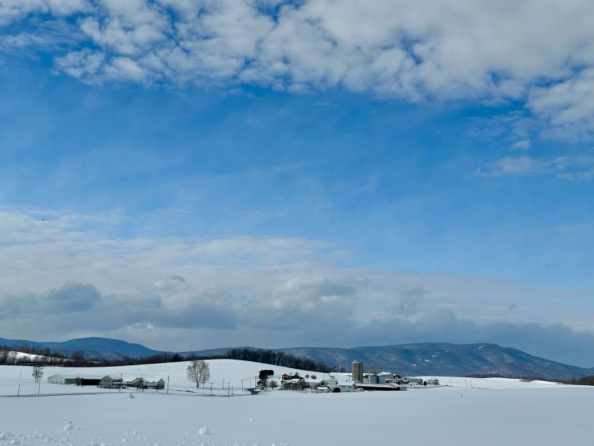
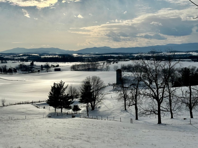
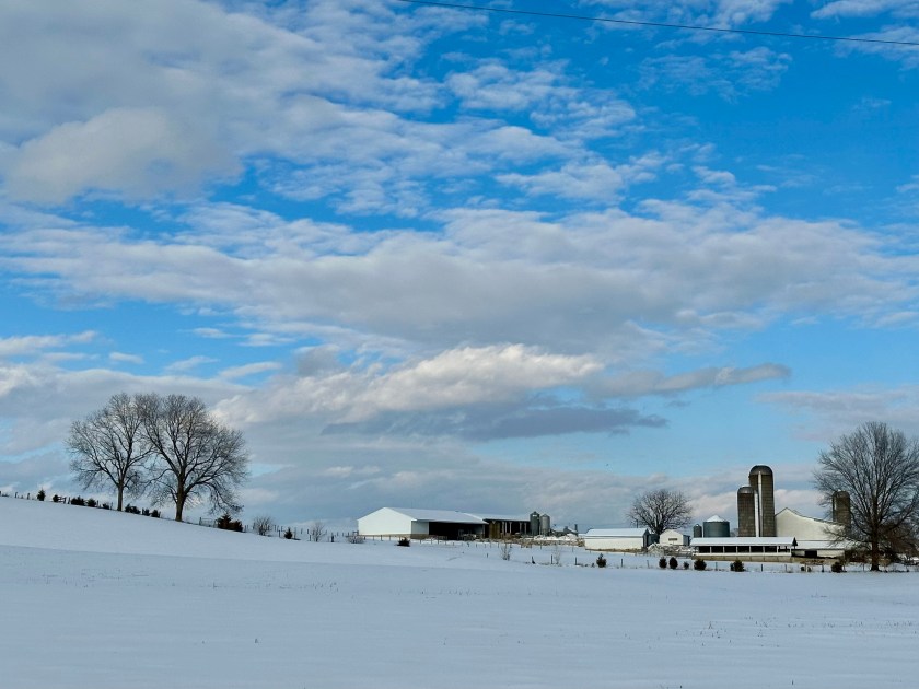
With the birds photographed, I turned my attention to capturing the winter wonderland all around me. The farmsteads glowed in the afternoon sunshine, and the snow and cold, clear air made everything bright and clean.
Fencerows and trees contrasted with the white blanket below them. The Allegheny Mountains hovered over the scenic countryside like anxious mothers.
I scared up other flocks of Horned Larks as I continued meandering along narrow limestone roads that connected one Old Order Mennonite farm to the other. Holsteins crowded into feeding troughs, devouring hay the farmers had recently pitch-forked into the stanchions for them.
Knowing that the roads were at least passable, I felt more comfortable driving as I made a loop around Mole Hill toward home. In the southwest, the afternoon’s slanting sun radiated a glistening sheen across the hard-packed snowy landscape.
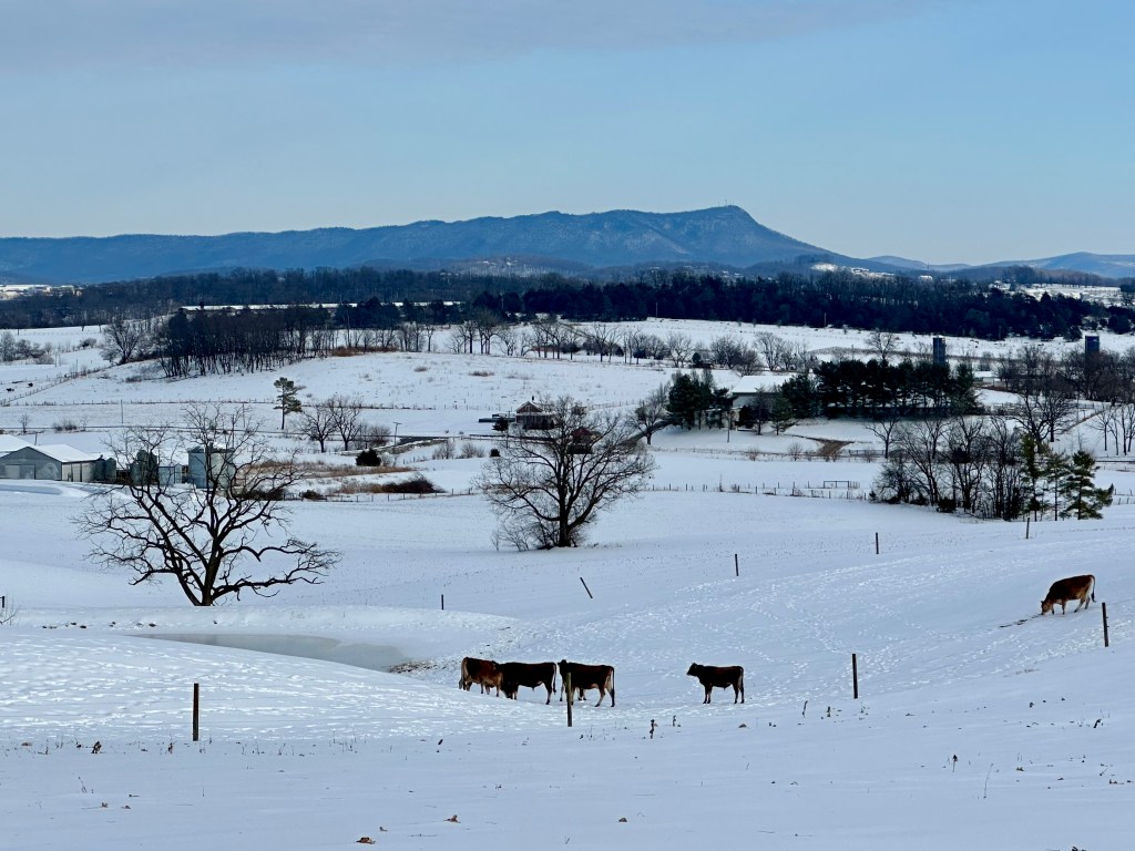
On the east side of the local landmark, Massanutten Mountain stood tall above the undulating lands of the Shenandoah Valley. I crunched my way a few yards from the road to capture black Angus cattle exiting a barn into the snowy pasture.
The dark macadam and the tree branches reaching for the sky sharply contrasted with the snow-white countryside. It was a sight almost as inspiring as seeing the lone Snow Bunting.
Black Angus cattle and Massanutten Mountain. Photo by Bruce Stambaugh
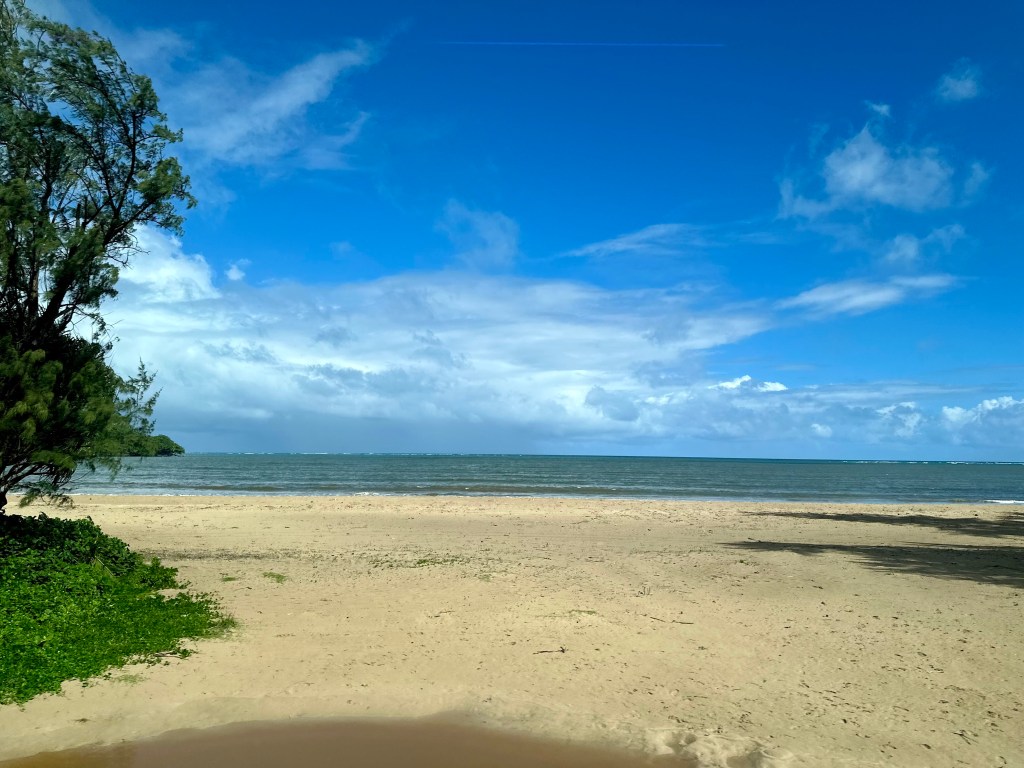
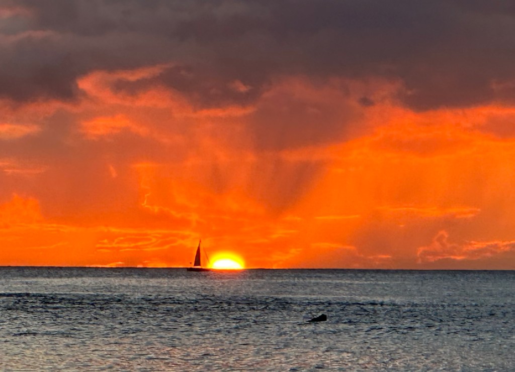
Diamondhead at sunset from Waikiki Beach. Photo by Bruce Stambaugh
On our last day on Oahu, we signed up for a circle tour of the island. However, thanks to our skilled and knowledgeable bus driver, it was more of an immersion into the Hawaiian culture. We dove in.
A native of Oahu, Lani knew all the places to stop, including a few that weren’t on our official itinerary. She made a lovely tour luscious.
Before we ever boarded the bus, a bright rainbow arched across the early morning sky. It wouldn’t be the last we would see.
Another rainbow to start the day.
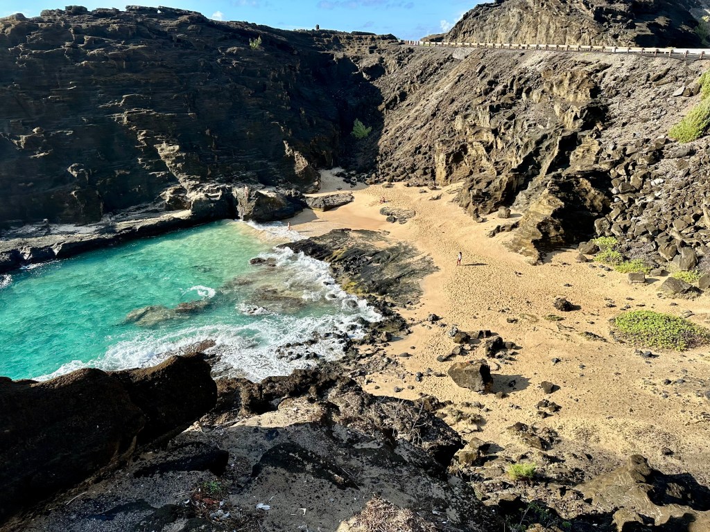
Our first stop was an overlook along the main highway, which offered spectacular views of the Pacific Ocean and a stretch of ancient lava coastline. Unfortunately, the waves weren’t big enough to give us a frothy show at the Halona Blowhole.
Please click on the photos to enlarge them.
However, in a small cove below, a few swimmers braved the steep and rocky descent to a secluded beach, where wave after wave lapped at the small sandy shore. I could have spent hours soaking in the view, the balmy breezes, and the warm sunshine, but Lani had other places to tantalize us.
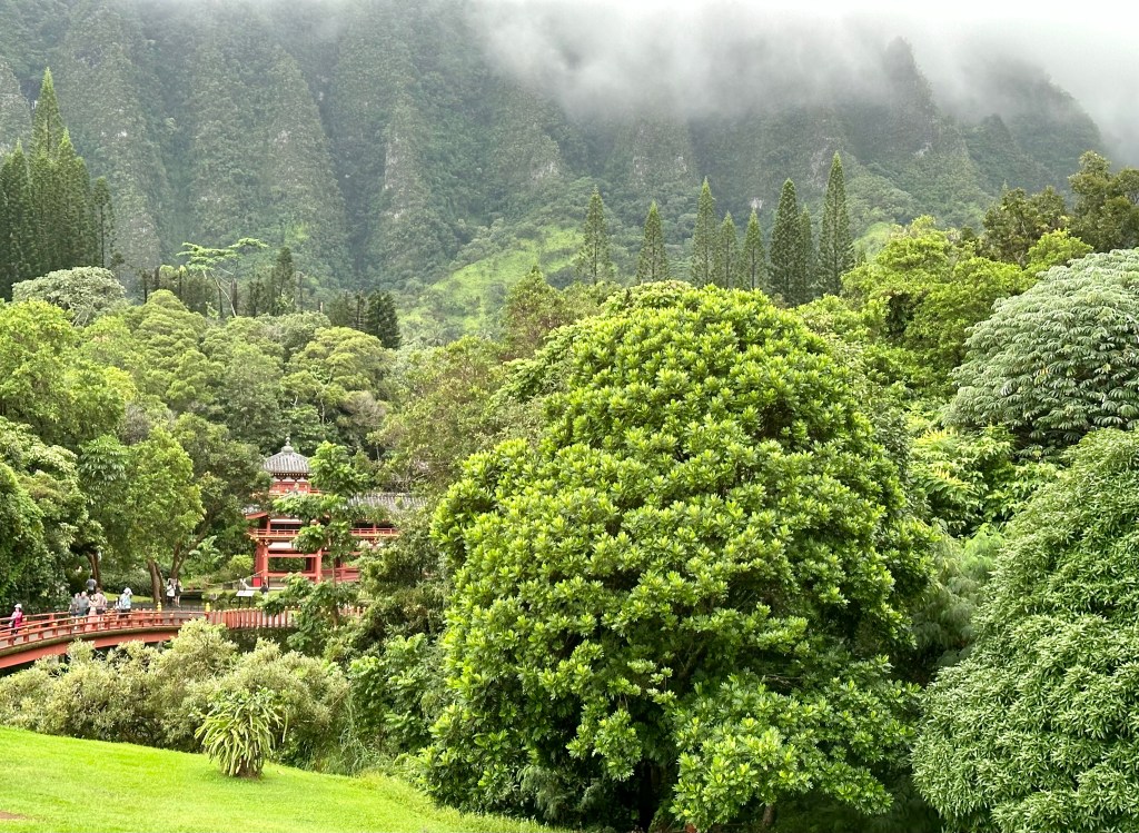
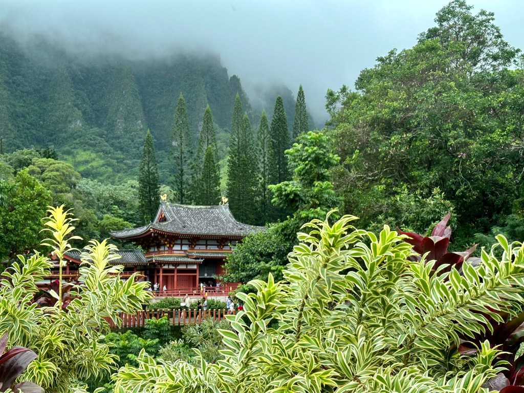
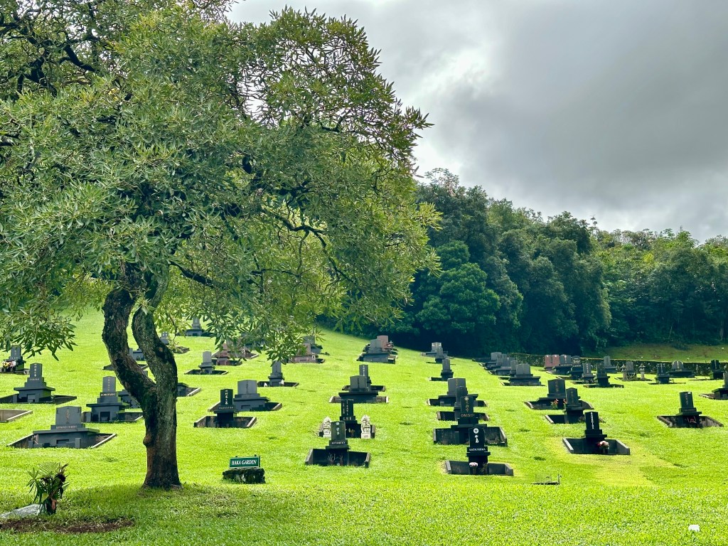
We drove inland and entered the Valley of the Temples Memorial Gardens. Set against curtains of solid lava adorned with lush greenery, a bank of lacy clouds hovered over the temple grounds.
Located at the base of the Ko’olua Mountains, the non-denominational Buddhist temple was surrounded by abundant vegetation, large and small. A sprawling, immaculate cemetery covered the rolling terrain between the highway and the temple.
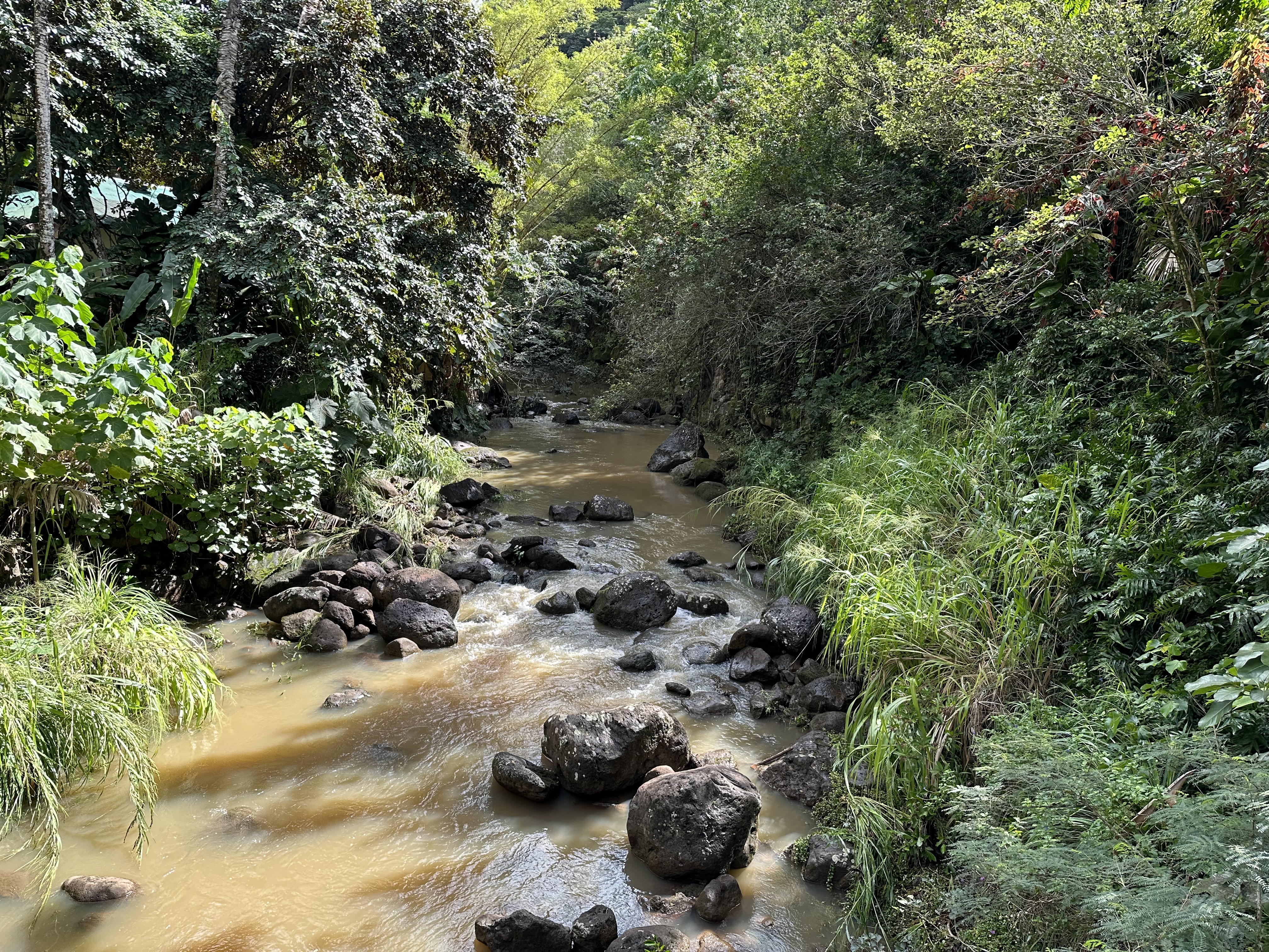
Recent heavy rains had muddied the Swan Temple Lake. Still, the setting drew me in, daring me not to take a photo. I happily succumbed. We also rang the giant gong for good luck. I’d say it worked.
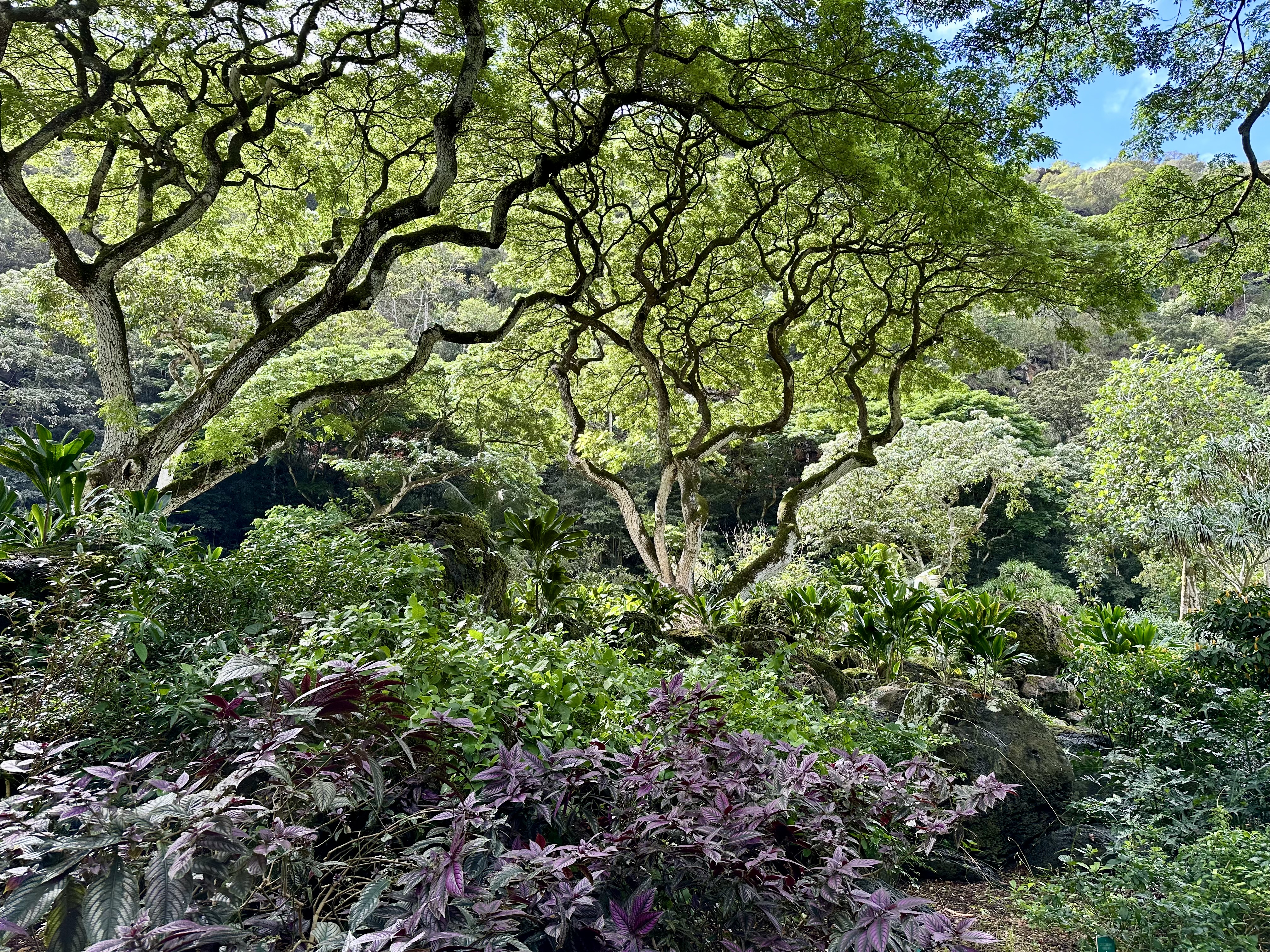
The next stop was Ko’olauloa Waimea Falls. I walked up to the falls, where some high school students enjoyed the cascading water. On its way to the ocean, the stream split the ravine, guarded by heavily wooded steep flanks filled with brilliantly colorful flowers and various songbirds I couldn’t identify. It was as if the incredible environment effortlessly drew me up the slope and back down.
Please click on the photos to enlarge them.
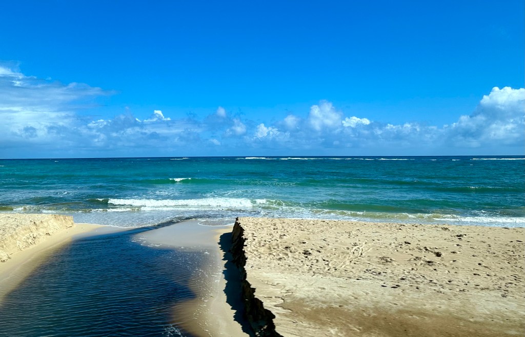
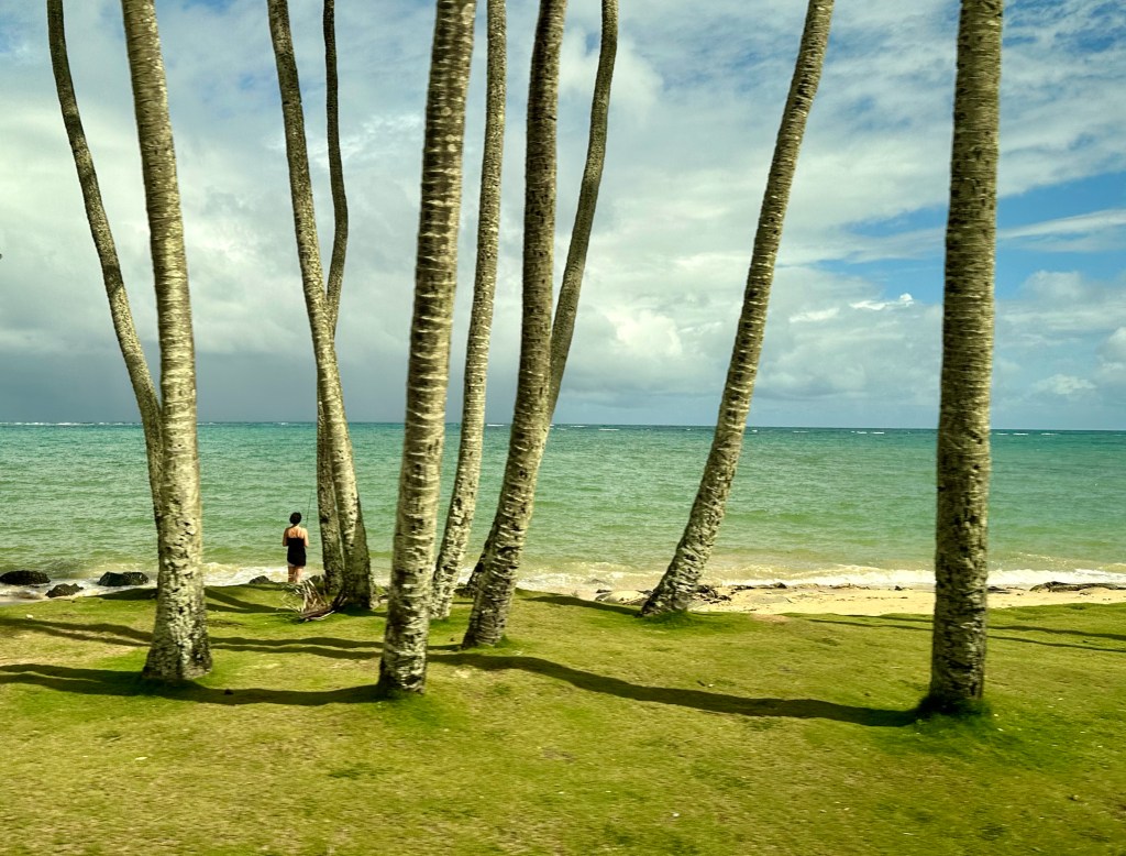
Too soon, it was time to continue our drive along the Kamehameha Highway, which offers beautiful ocean views. We passed multiple local parks, a testament to Hawaii’s commitment to preserving public green spaces. However, due to rising sea levels, shore and beach erosion are ongoing battles.
Along the Kamehameha Highway.
Our next stop was the Dole Plantation retail store. There, people enjoyed the famous Dole Whip while others browsed or shopped. Soon after leaving there, we passed acres and acres of agricultural land, some planted with pineapples.
Agricultural fields near a military base. Photo by Bruce Stambaugh
Our knowledgeable bus driver wisely took the counterclockwise route on the circle tour of Oahu. While we were returning, most traffic was headed out of Honolulu. Before we hit the city, we stopped at a pass that overlooks the capital.
Overlooking Honolulu on a windy, rainy day.
We had a 180-degree view of Honolulu and the surrounding mountains. Rain pelted one side of the urban setting while the other was dry. We braved strong wind gusts to enjoy the view and feel the rain.
We snaked our way down through neighborhoods of pagodas, apartments, schools, skyscrapers, unkempt houses, and urban parks to reach sea level. The tour was over, but the best was yet to come.
After dinner, our orange dessert was a spectacular sunset on Waikiki Beach. The next day, we flew to the Big Island.
As I sat at my computer, I heard a familiar roar. I grabbed my camera and raced outside. But I was too late for the shot I wanted.
The low-flying DC-3 airplane had already zoomed west and out of range for a photo. However, I had seen this pattern before. I figured the plane was on landing approach to a private airport eight miles southeast of us.
Sure enough, the plane turned south and then southeast into view. I snapped three quick photos, but the aircraft was again out of sight. When I viewed the pictures on my laptop, I was pleased that everything was in focus.
This photo stood out. The dappled, gray clouds seemed to frame the old airplane, and the late afternoon sun reflected off the underside of its fuselage. In a way, it looks like the plane is on fire, but I’m sure it landed safely.
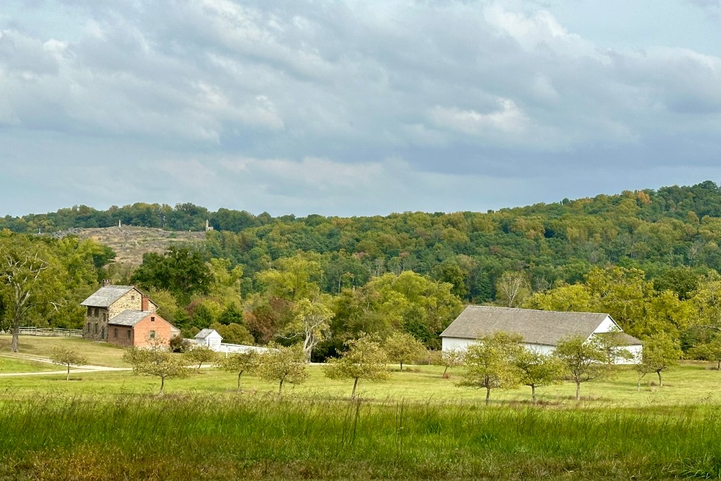
Earlier this fall, my wife and I visited Gettysburg National Military Park with friends from Australia. We used the National Park Service’s free self-guided app to tour the sacred grounds at this tipping point of the American Civil War.
Interestingly, our Auzzie friends were most taken by the 1,300 monuments on the battlefields and beyond. On the other hand, I was amazed at the number of farmsteads overrun by Union and Confederate troops, and often both, as the battles raged. The Park Service has done a magnificent job of restoring them, and that restoration continues today.
Many of the farms where the fighting took place were small by today’s standards, often 50-80 acres. Of course, the buildings from other farms have long disappeared.
The McPherson Farm
The replica fences and the sorghum fields created a feeling of authenticity.The McPherson barn.The Codori farm saw heavy fighting on July 2 and was at the at the center of Picket’s Charge on July 3, 1864.The Phillip Snyder farm. Note the location of the outhouse. Big Round Top is the most prominent hill in the background.The Bushman farmstead. Note Little Round Top above the farmhouse.
Tree angles of the Trostle farm.
The Klingel farm on the east side of Emmitsburg Road.
The Sherfy farm on Emmitsburg Road. The 50-acre farm included the Peach Orchard, Big and Little Round Top, and Devil’s Den. The original barn burned during the battle.
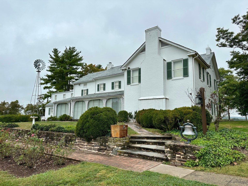
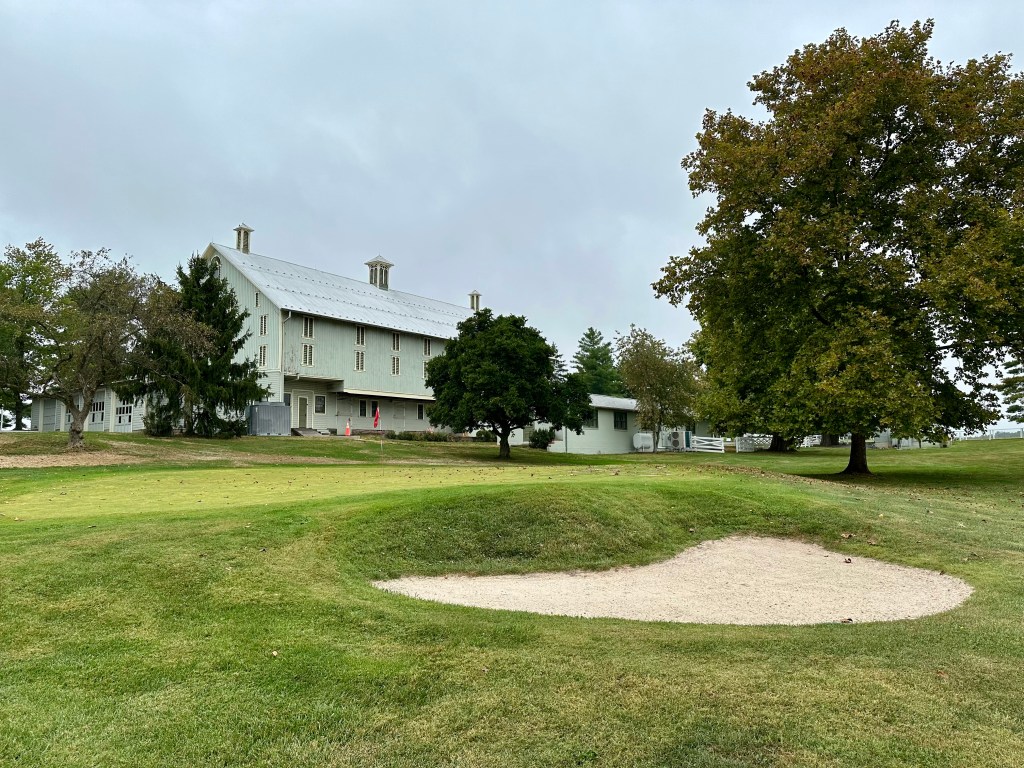
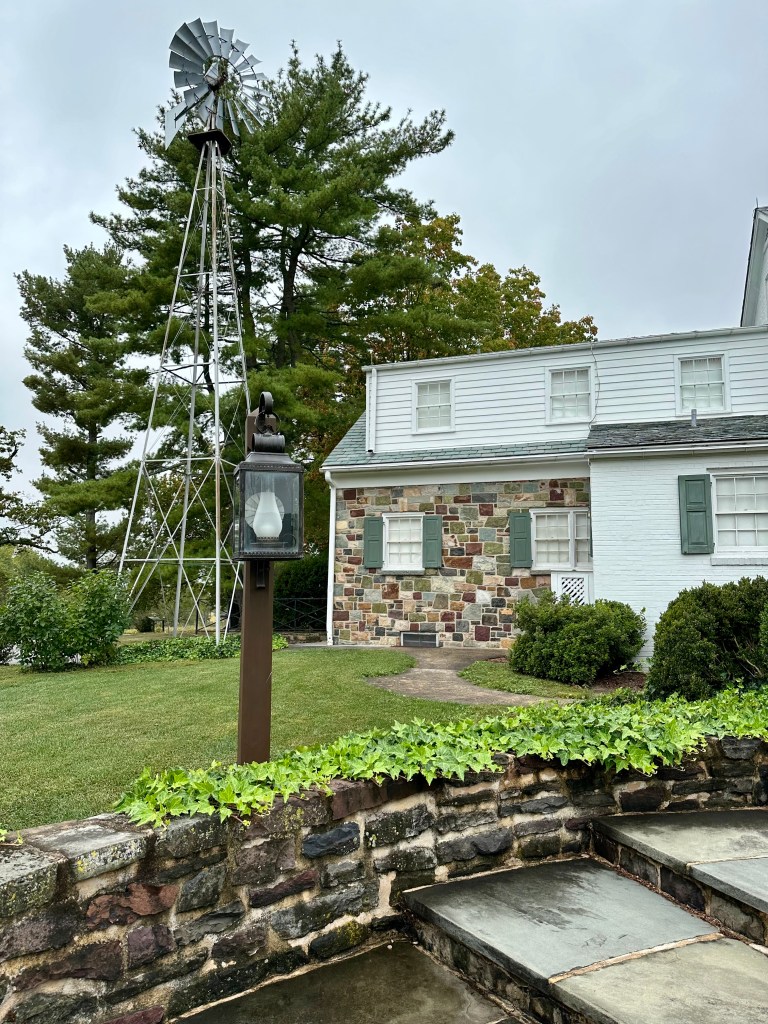
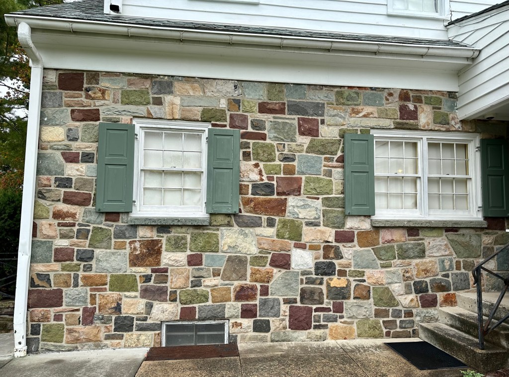
The Eisenhower farms on the southwestern edge of the battlefields.
Time did not permit me to explore the history of each farm in-depth, but that’s another reason to return to this hallowed ground.
The top photo of grandson Teddy, age 2.5, was taken this fall. The photo of the two ghosts and their sister pumpkin was taken on October 31, 2009. They are now 18, 15, and 20.
September’s first sunset. Photo by Bruce Stambaugh
We had another quenching and satisfying rainstorm yesterday afternoon and evening. After the front had passed, I checked the rain gauge in the backyard. The setting sun illuminated the backside of the storm clouds racing east. A brilliant orange and a bright but stubby rainbow caught my eye.
I looked to the west and discovered a striated sky of tangerine streaks. I grabbed my camera and headed for a nearby pasture that afforded a better view to the west before the colors faded.
Though not the most colorful of my photos, I liked this scene and all its rich ingredients: the farm lane with remnants of the rain’s runoff, the silhouetted trees, Mole Hill, an ancient local landmark, and the Allegheny Mountains beyond.




















You must be logged in to post a comment.