Along New Hampshire Route 16

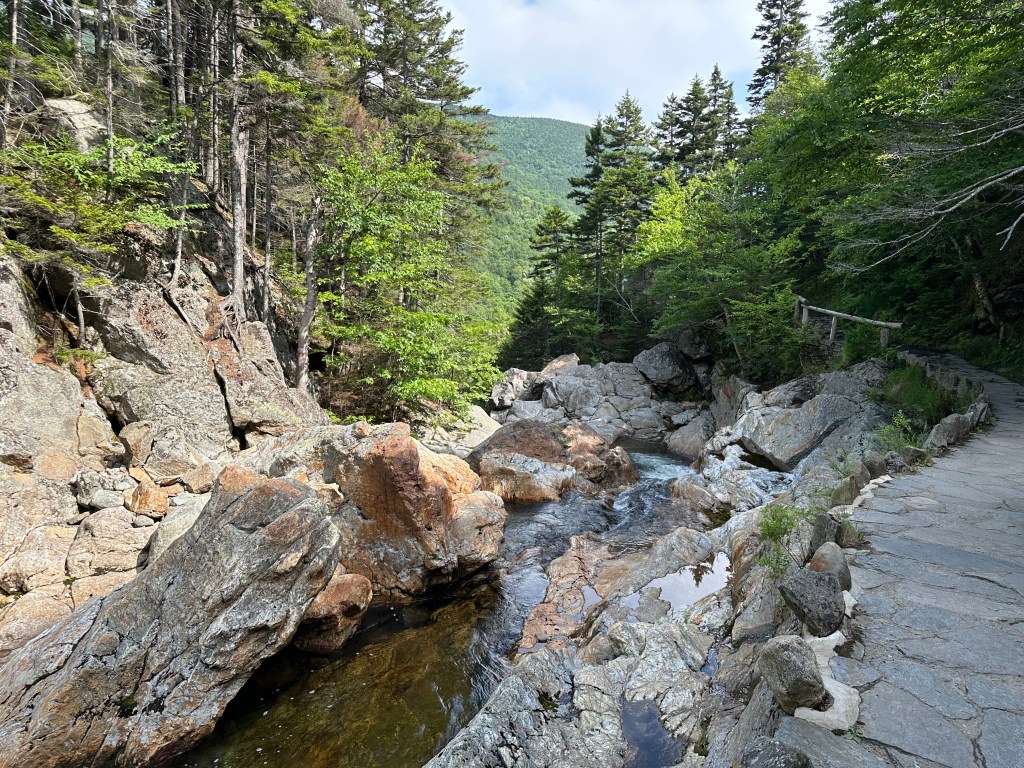
The Ellis River at Jackson, New Hampshire. Photo by Bruce Stambaugh

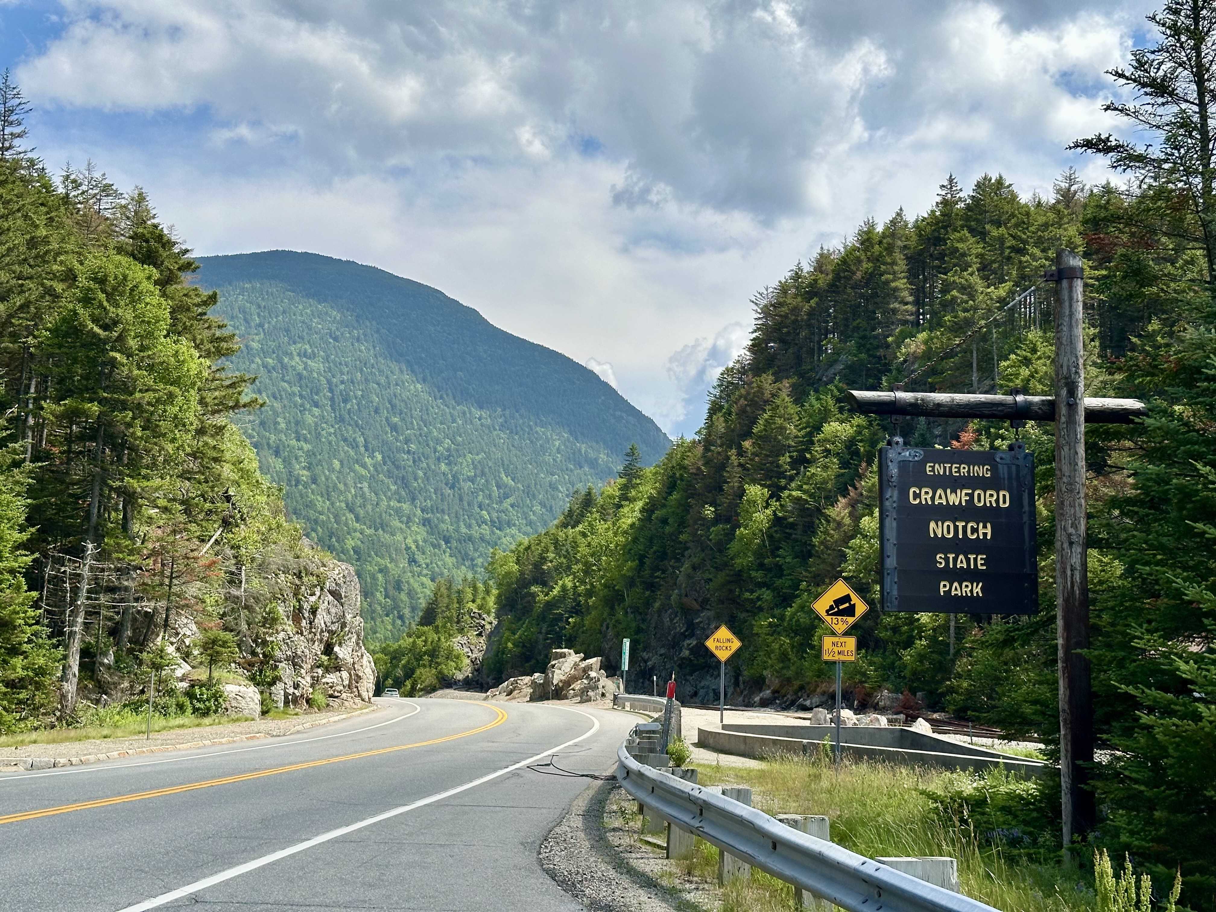
There’s a lot to like about driving on Pinkham Notch Road, which is New Hampshire Route 16. We wanted to revisit some of the places we had seen seven years ago, when we initially visited the area.

After leaving the Mt. Washington area, we took the long way around to our hotel in Gorham, New Hampshire. We headed southeast to Pinkham Notch Road.
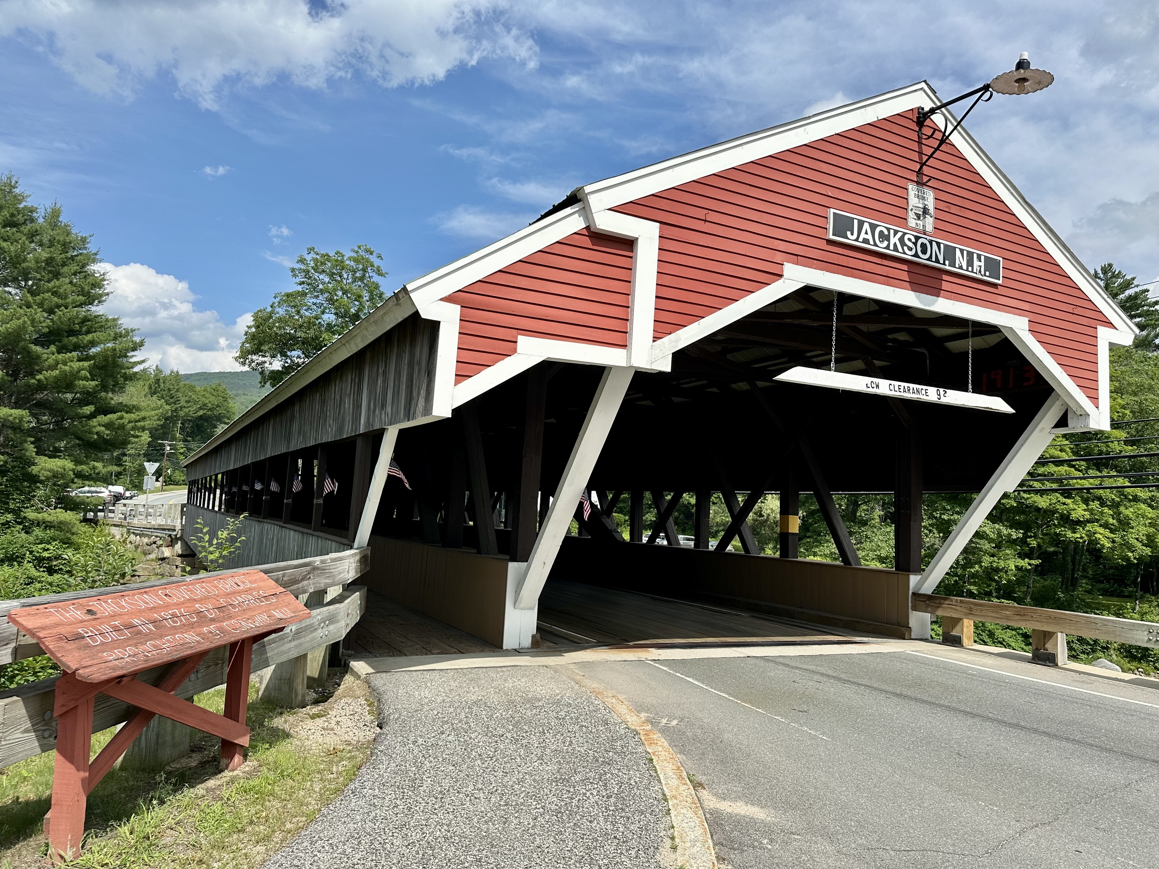
Our first stop was Jackson, a sleepy resort town on the Ellis River. The historic Honeymoon Covered Bridge, built in 1876, spans the river and is the village’s icon. Jackson also houses cute cottages, tourist businesses, and country inns.

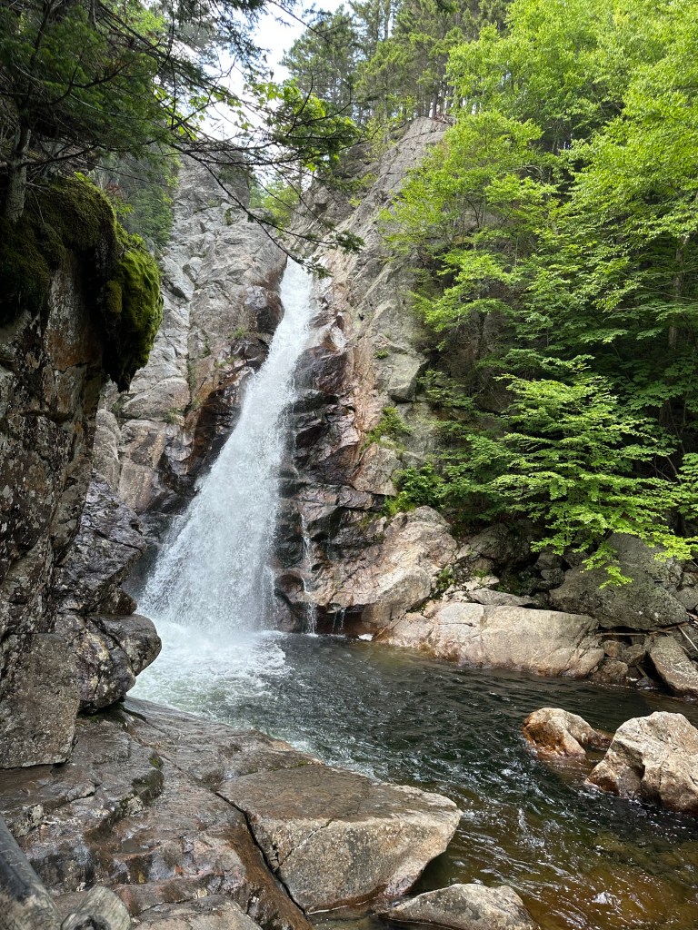
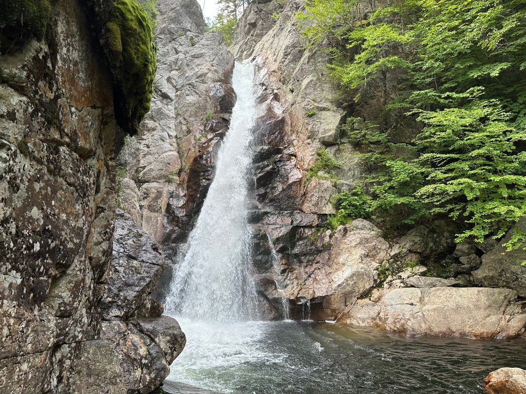
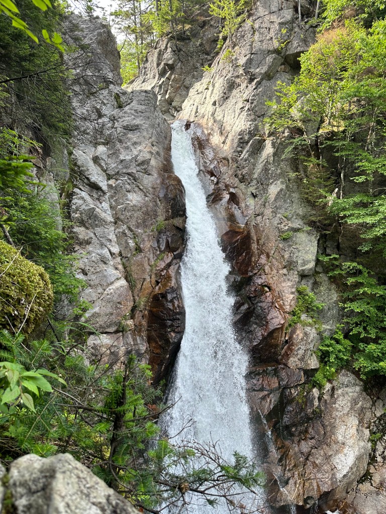
The road basically follows the flow of the Ellis River, whose headwaters begin on Mt. Washington. The Glen Ellis Falls crash down 64 feet in a rock-filled narrow gorge a few miles north of Jackson.

To access the falls, you have to cross through a pedestrian tunnel under Route 16 and wind your way along the river, down rocky steps, and on a trail that’s occasionally muddy in spots. The trek is well worth it, however. Amid a forest of birch trees and evergreens, the rushing waters crash against giant, jagged boulders before falling and continuing down the mountainside.

Just up the road is the AMC Pinkham Notch visitor center. It’s the place for serious hikers to check in, rest, and shower. The Appalachian Trail that descends from Mt. Washington slides behind the center and crosses the road at Pinkham Notch.
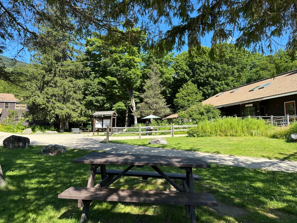
The Pinkham Notch visitor center. Photo by Bruce Stambaugh

A little farther up the highway is the entrance to the Wildcat Mountain ski area. If you’re up for it, the auto road to Mt. Washington is right across the road.

If you enjoy the outdoors in any season, the Pinkham Notch area in New Hampshire offers activities for everyone.

Glen Ellis Falls, Gorham, New Hampshire. Video by Bruce Stambaugh

© Bruce Stambaugh 2026
On Top of Mt. Washington

This is how the famous mountain looked after we completed our round-trip excursion. From the left, the Mt. Washington Hotel, the cog railway, and the peak itself. Photo by Bruce Stambaugh

We left our friends’ home in Vermont’s Northeast Kingdom for an hour’s drive to the Cog Railway in Bretton Woods, New Hampshire. We arrived in plenty of time and discovered that we could take the 11 o’clock train instead of the noon one.

The other options for getting to the revered mountaintop are to drive up the private road, pay to ride up in a van, or walk up and back via the Appalachian Trail. My wife ruled out the first two, and our age and physical shape ruled out the other.

After receiving the rules for riding the railway, we boarded our car with the biodiesel engine at the rear to push us up the mountain. We followed two other such “trains” up the tracks.

The seats were slanting forward rather than at a 45-degree angle, which was uncomfortable at first. That soon changed as we chugged forward, and our seats felt comfortable as they adjusted to the mountain’s steep incline.

The fastest we clackety-clacked up the cog rails was five miles per hour. So, it took nearly an hour to get to the top.

When we left the station, we could see the mountain’s top with passing clouds. When we arrived atop Mt. Washington, we were in the clouds with only occasional views and a few hints of sunshine.

We had 50 minutes to eat lunch, which we took along, and to explore the historic mountaintop. Sudden bursts of sunshine interrupted my snack lunch. I rushed outside to capture whatever I could see. The view west was a wall of gray.

Please click on the photos to enlarge them.

I could see east and north, however. I saw the Appalachian Trail, which winds up and down the mountain. Cairns marked its path instead of white blazes on trees. A few hikers trekked amid the cloudy mist.

Having been to that area seven years ago, I could identify the Wildcat Ski area and the scenic New Hampshire Route 16 that runs from Gorham south through Pinkham Notch and down the valley to Conway.

So, the $100-a-piece ride wasn’t a complete bust. However, in the hour it took to return to the base station, the sky had cleared. Mt. Washington stood as handsome as ever above all the other presidential peaks.

Proof we made it to the top. Photo by Bruce Stambaugh

© Bruce Stambaugh 2026
The Kancamagus Highway

The Swift River along the Kancamagus Highway. Photo by Bruce Stambaugh

Our little tour group headed north out of Boston on the first full day of our land/cruise trip through parts of New England and into eastern Canada.

Looking at the itinerary, my wife and I realized that we would be seeing much of the same scenery that we had when we visited New Hampshire and Vermont six years ago. That didn’t deter our anticipation, however. We loved visiting both states and looked forward to new adventures.

We briefly visited Franconia State Park, and then drove eastward along the Kancamagus Highway that runs from Lincoln to Conway, New Hampshire. My wife and I drove it westbound in 2019.

It was much easier driving a personal vehicle than being a passenger in a large bus. I wanted to shout “stop” multiple times as we passed scenic overlooks and lovely White Mountain vistas. Of course, I didn’t do that.

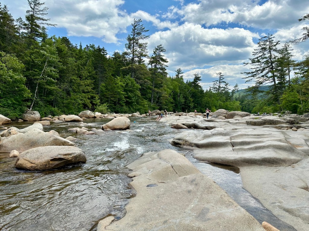
The bus made two stops, both near the terminus of the famous scenic highway. Our first stop was at the Lower Falls on the Swift River that winds its way east toward Conway.

Because of the hot and humid weather, we weren’t alone at the falls. Families and couples, young and old, cooled off in the rushing waters of the aptly named river.

A boardwalk parallel to the river made it easy to observe the fun in the water. As a photographer, I sought a better angle near the refreshing waters, though I had no intention of joining the swimmers.

The above photo shows the majesty of Swift River and its gorgeous surroundings of lush evergreens and deciduous trees that climb the mountainsides. We were fortunate to have pleasant though warm weather.

I waited until the splashing went farther downstream before snapping this photo. The wavy boulders show the eons of wear and erosion from constant, fast-running water rushing down the valley.

Closer to Conway, where the terrain flattens out, the waters slow their pace and broaden their banks. Where the rapids and falls are is where the real action is. I was glad to see it again.

© Bruce Stambaugh 2025

Over the Swift River

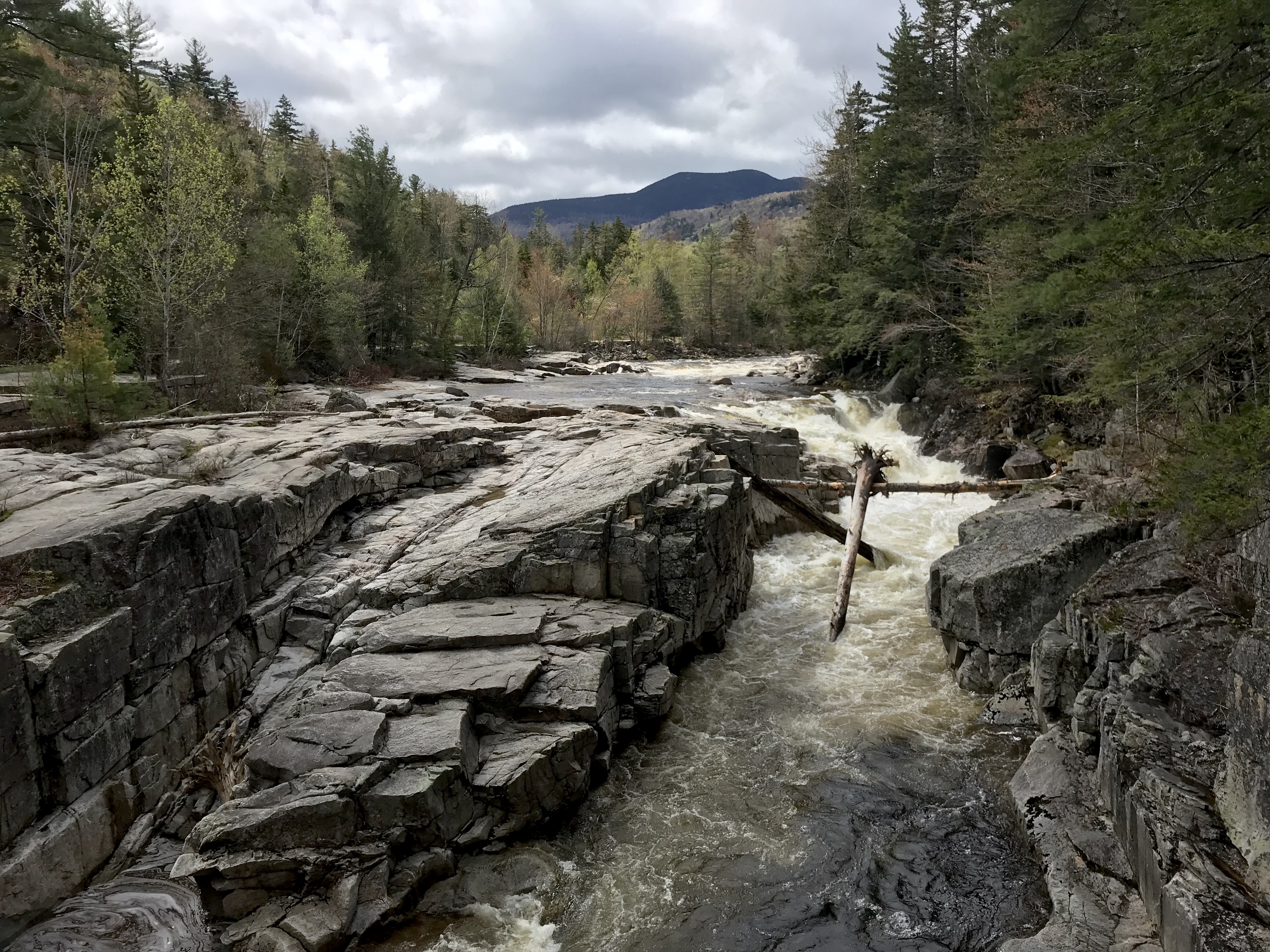
Even in a still photo, you can tell that the Swift River is aptly named. While touring New England a couple of years ago, a friend advised me to travel the length of New Hampshire’s Kancamagus Highway from Conway to Bath. I did, and I wasn’t disappointed in the least.

Recent spring rains and melting snow from the surrounding White Mountains had this river running full. Roaring tributaries with impressive waterfalls added to the river’s rage.

I took this photo from a foot bridge over the river. “Over the Swift River” is my Photo of the week.

© Bruce Stambaugh 2021

Bay Photos by Donna

Wildlife Photos From The Chesapeake Bay Region

ROAD TO NARA

Culture and Communities at the Heart Of India

K Hertzler Art

Artist and nature journalist in the Shenandoah Valley of Virginia.

Maria Vincent Robinson

Photographer Of Life and moments

Gabriele Romano

Less Noise. More Meaning

Jennifer Murch

Art is the only way to run away without leaving home. -Twyla Tharp

Roadkill Crossing

Writing generated from the rural life

ANJOLI ROY

writer. teacher. podcast cohost.

Casa Alterna

El amor cruza fronteras / Love crosses borders