Our Ohio friends wanted to visit Shenandoah National Park. The weather was less than cooperative. We ventured out anyway.
On our way to the park, a deck of low clouds obscured our view of the Blue Ridge Mountains, where Shenandoah National Park is located. We pressed on. The dismal weather couldn’t deter our friends from wanting to experience this national gem for the first time.
Once in the park, clouds rolled across the mountain landscape, obscuring most of the views of Shenandoah Valley from the several overlooks along Skyline Drive. Occasional rain dotted the windshield as we climbed higher.
Since our friends enjoy camping, I pulled into the historic Lewis Mountain Campgrounds. During segregation, this was the only area that allowed Blacks to be in the park. Today, it has maintained its rustic look with a camp store, several woodsided cabins, and campsites for tents and campers alike.
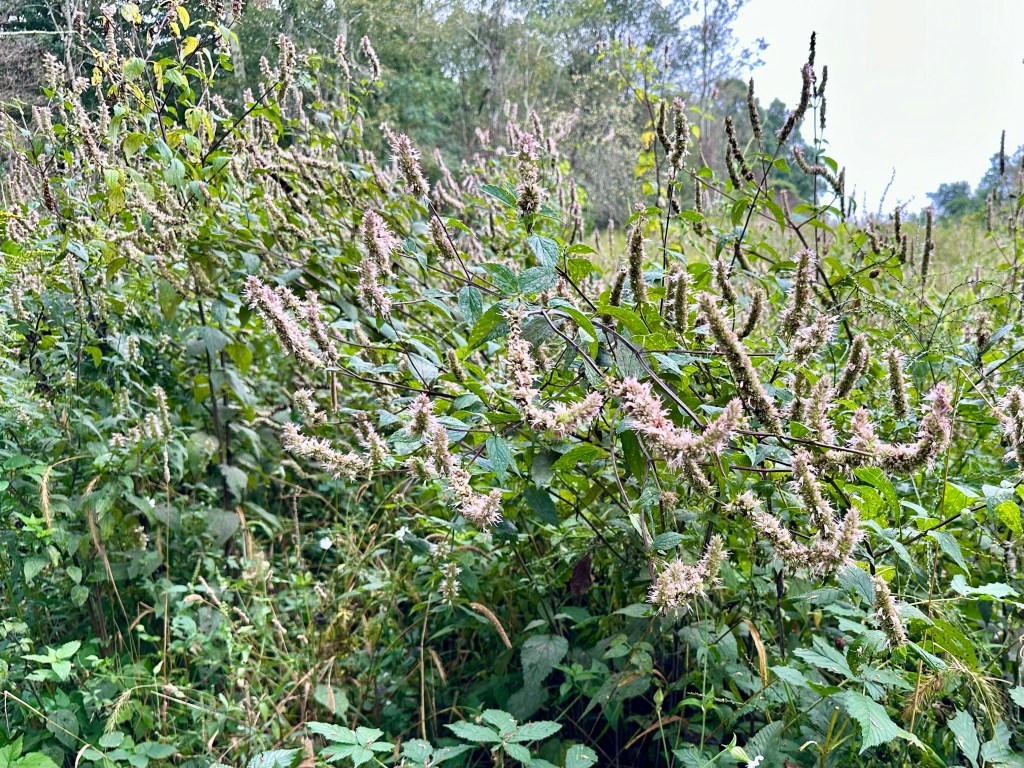
We stopped at Milum Gap, where the Millprong Trail connects with the Appalachian Trail a stone’s throw from the Skyline Drive. Honeybees and bumblebees buzzed at the late-blooming mountain mint blossoms.
We soon arrived at Big Meadows, and just as we exited the vehicle, clouds skirted across the landscape like a chilling phantom. We walked around anyhow.
However, the rain drove us back to the SUV, and we explored the expansive Big Meadows campground with many campsites, shower facilities, and a camp store. Our friends were impressed.
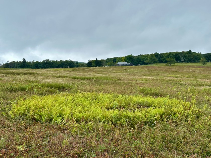
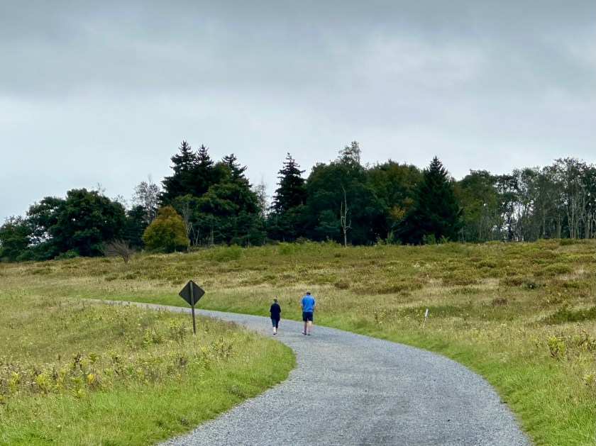
As we returned to the sweeping, prairie-like bowl of Big Meadows, the rain turned to a light mist. So, we chose a path and began to explore. Every time I see Big Meadows, I am always impressed with its expansiveness and the array of colors, even without bright sunshine.
In fact, the low, silvery cloud cover seemed to enhance the plants and flowers we encountered. The simple beauty beckoned us in, and we obliged.
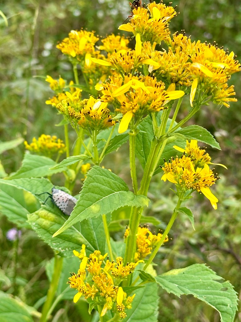
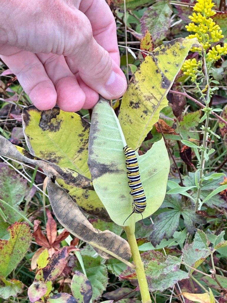
We had only taken a few steps on an established path when we spotted several Spotted Lanternflies clinging to the season’s second-growth Common Milkweed plants and other plant stems. Quick as they are, we still killed a couple of dozen of the invasive species that destroy woody plants and trees.
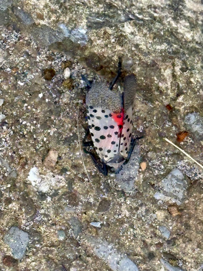
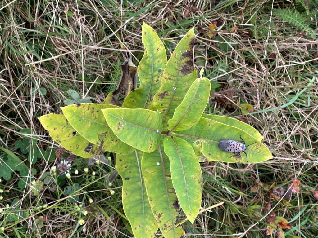
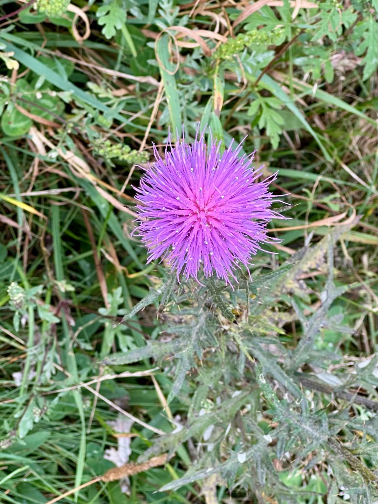
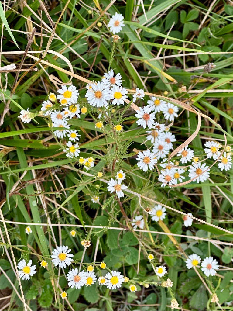
Still, we marveled at the russets, browns, and various greens of September. We admired many blooms and snapped photos to identify them later.
On another path across the way, we noticed another couple. The man was bent over, photographing something low to the ground. His partner stood behind, scanning the area with binoculars.
At first, I thought she was looking at birds. But the unseasonably cool, damp weather even kept the birds sheltered and quiet.
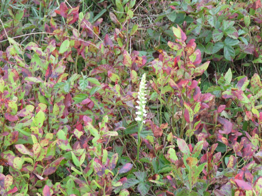
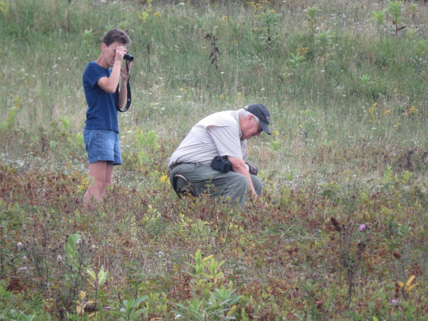
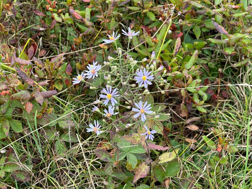
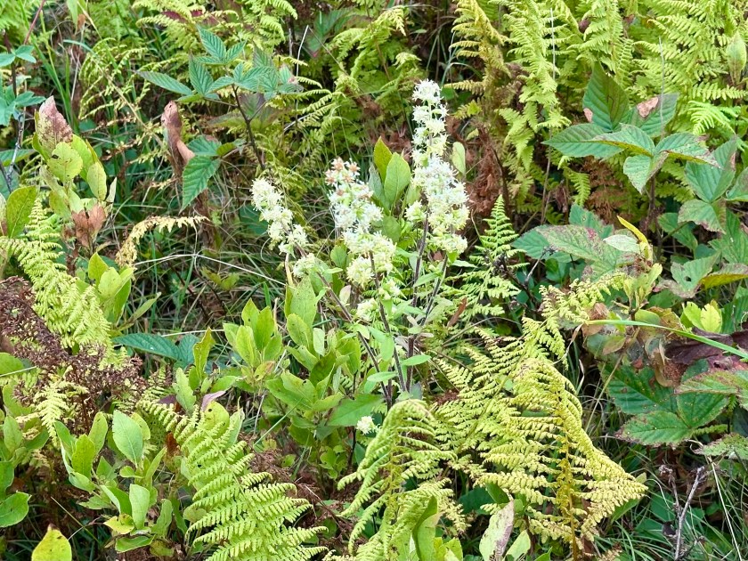
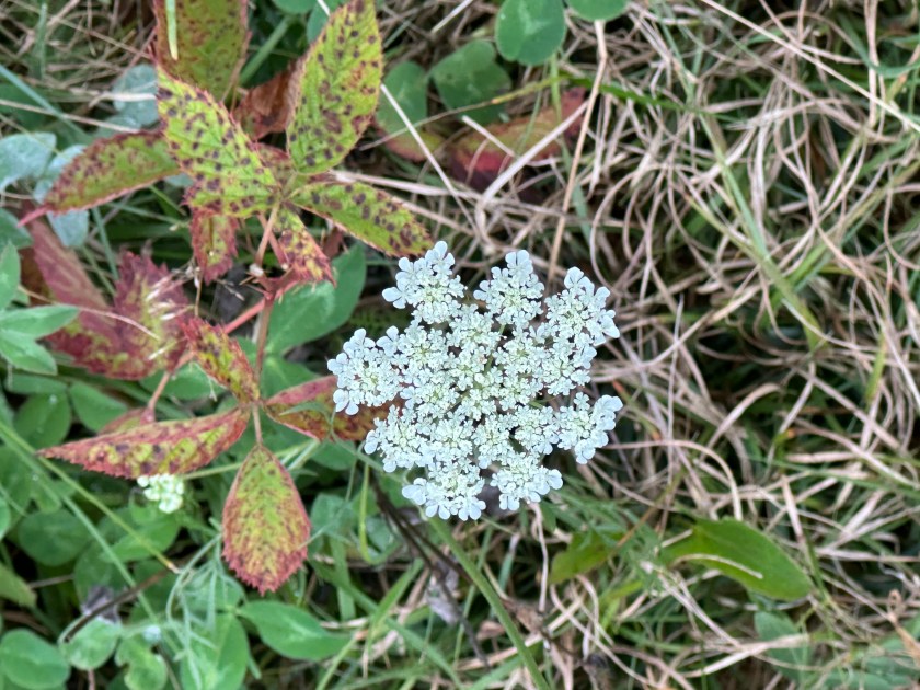
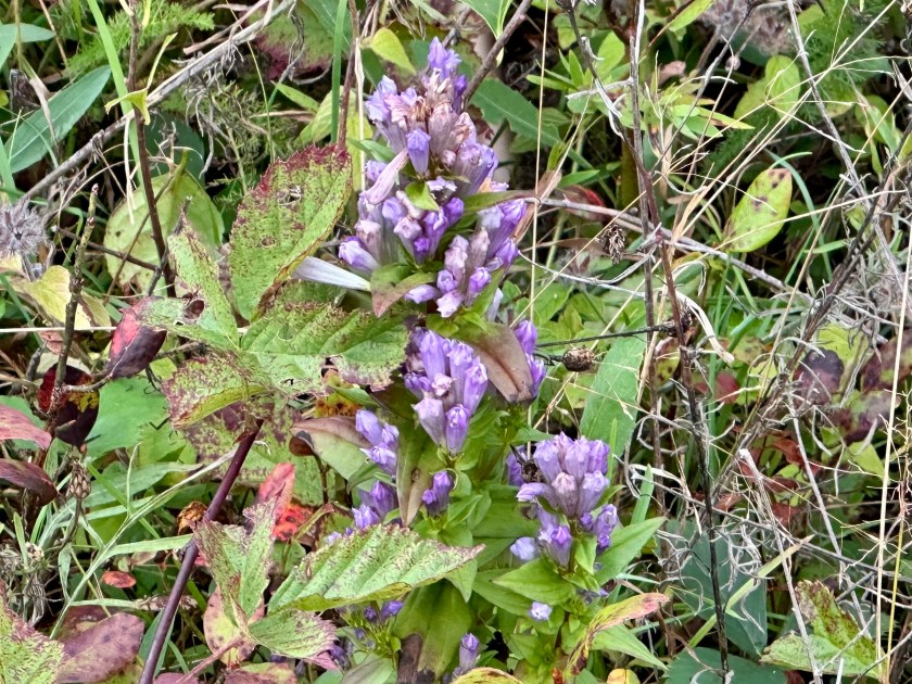
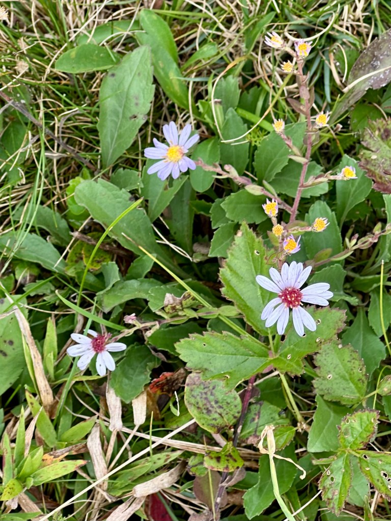
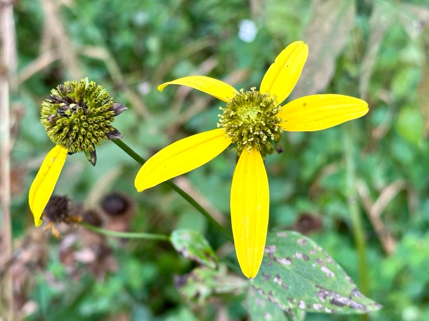
Curious, we approached the couple, who were more than happy to share their finds with us. The man pointed out the ginseng blossoms we saw him photographing.
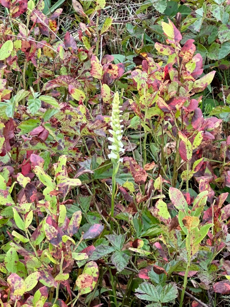
Using her binoculars, the woman excitedly exclaimed that she had spotted one of 60 of Virginia’s native orchids. We walked several yards together before we arrived at the lone, spiky bloom of the Ladies Tresses.
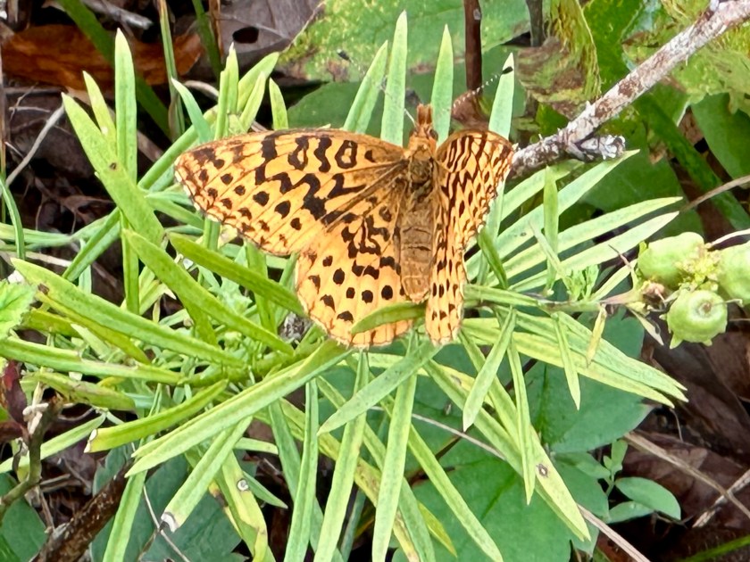
Soon, a Meadow Variegated butterfly landed nearby. I had never seen one before. It posed nicely for a photo.
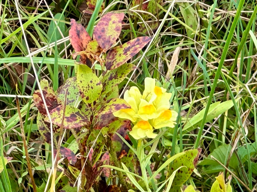
Then the amateur botanists sighted what they called a “butter-and-eggs” flower. This time we walked even farther and came upon a small area where the yellow and orange flowers flourished. Its official name is Yellow Toadflax, but it’s also called wild snapdragon. I learned later that it is a highly invasive plant.
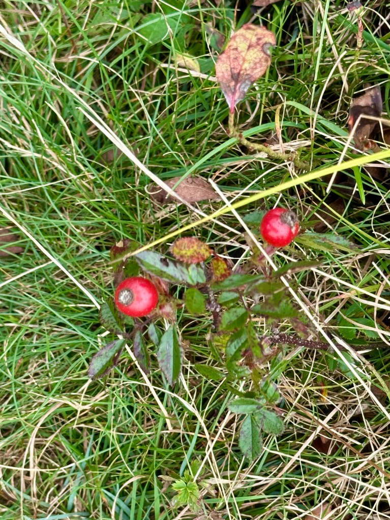
I found some rosehips along the path back to our vehicle. It looked like Christmas, with their rosy red berries contrasting with the plant’s shiny green leaves. Spiky Burnet flowers grew nearby.
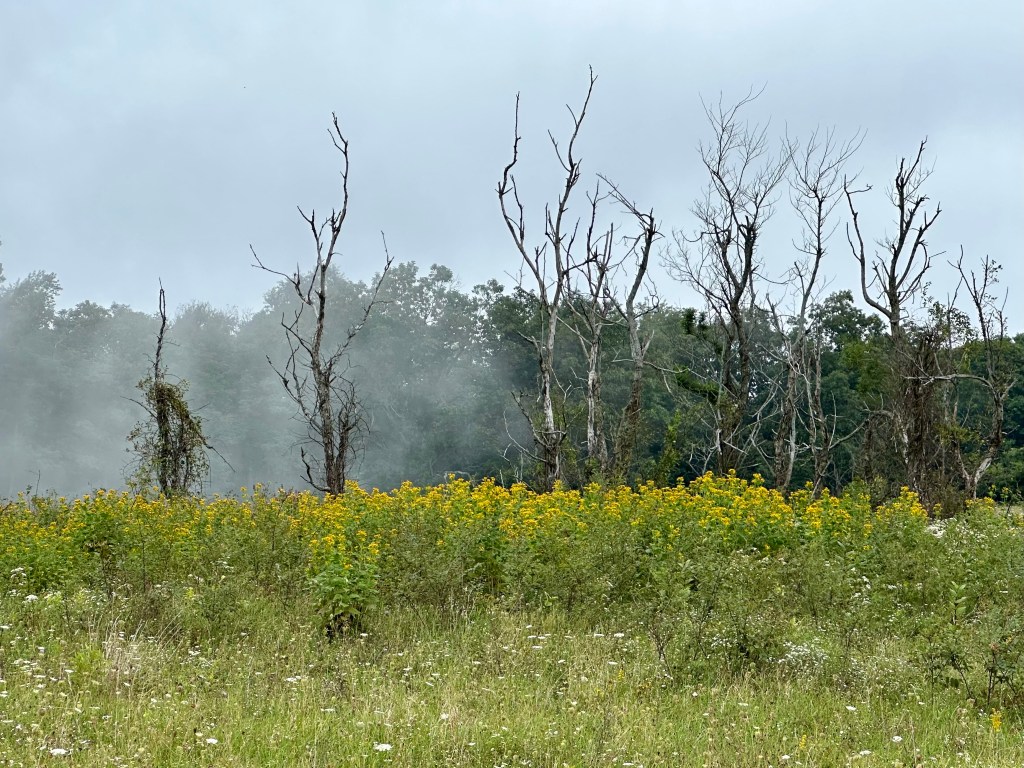
Stands of Goldenrod dominated open areas beyond Big Meadows, and especially along the road. Yet, we saw few in the high-elevation grassland of Big Meadows.
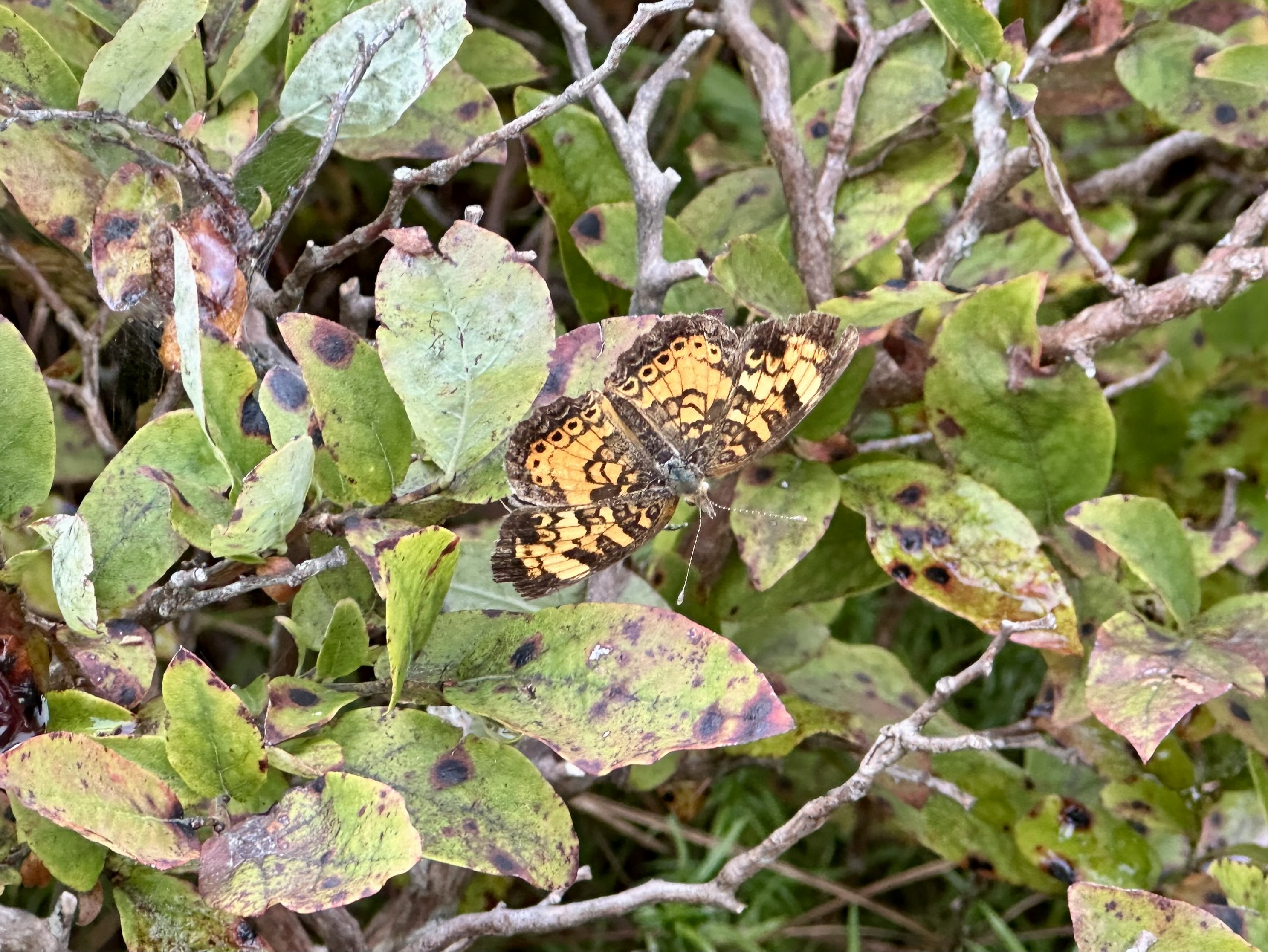
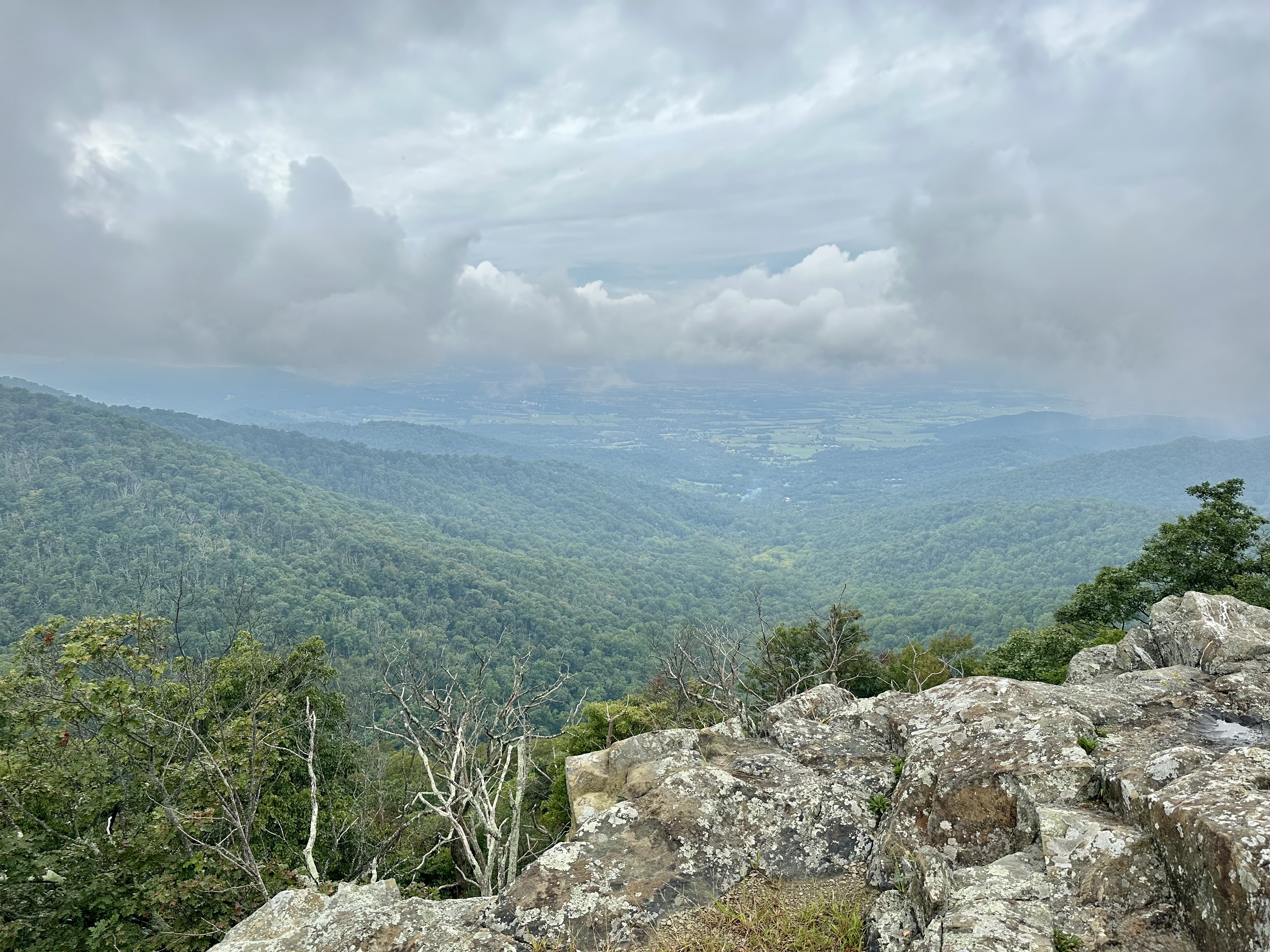
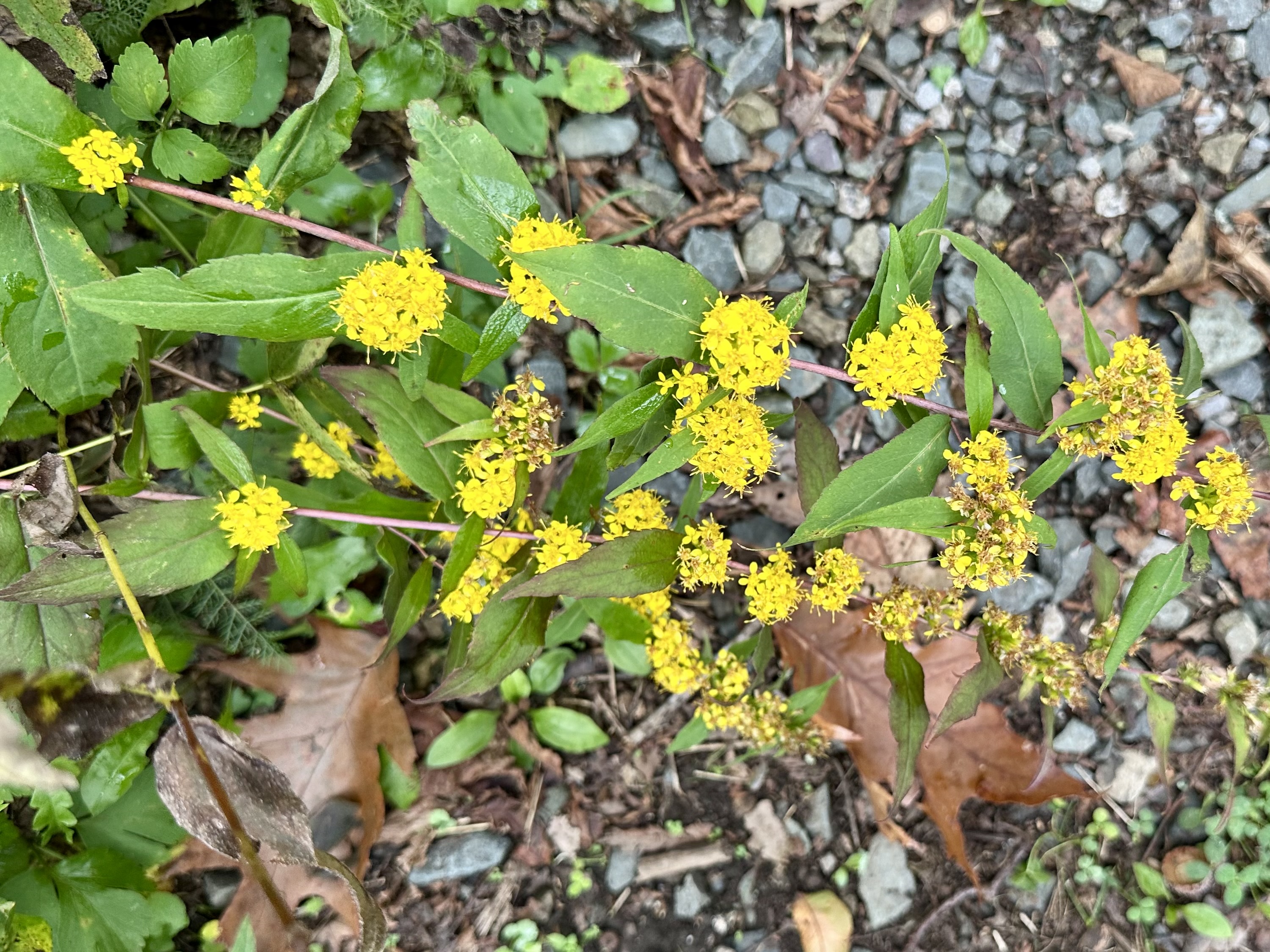
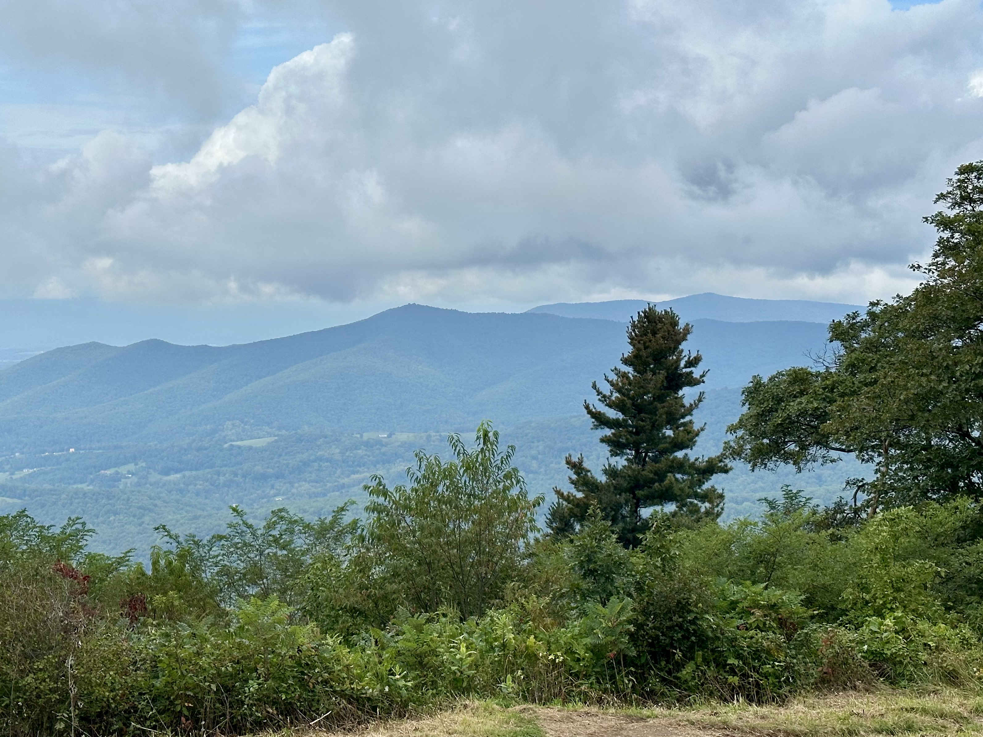
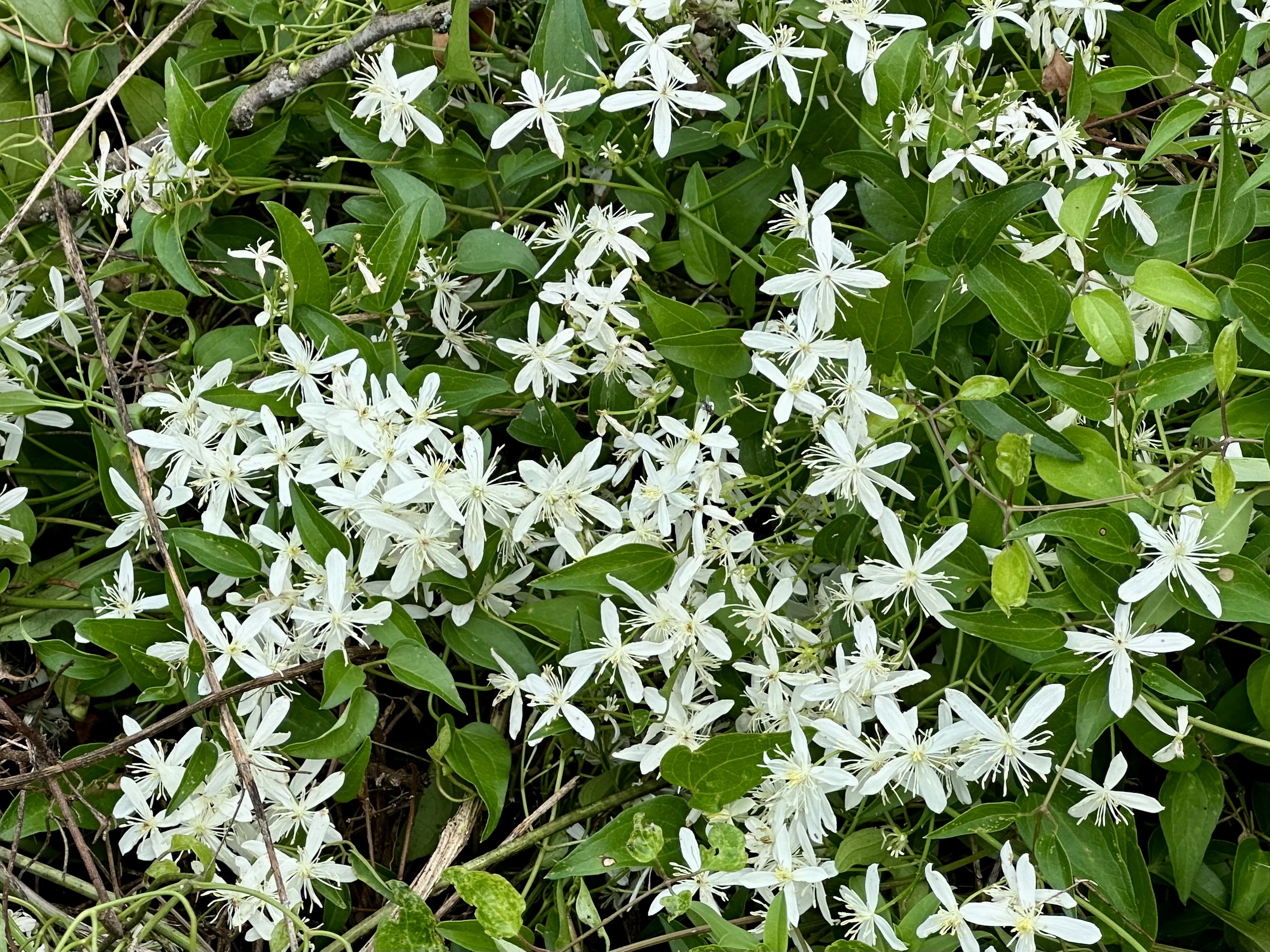
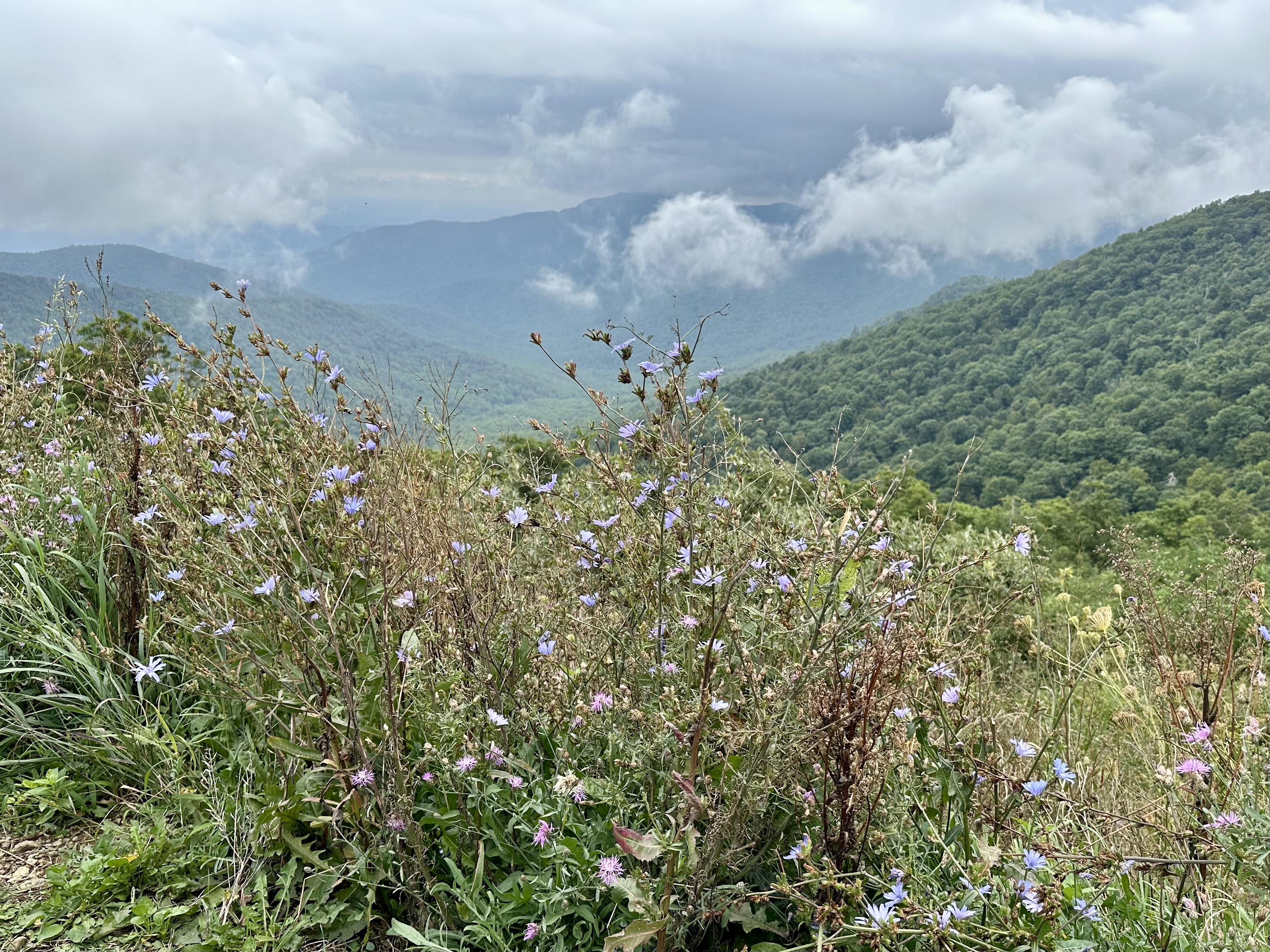
After basking in Big Meadows’ offerings, we headed north on Skyline Drive, hoping to find openings in the clouds at overlooks. We found a few and enjoyed the views before the clouds rolled back in. We took a short hike at Franklin Cliffs, and I found a Pearl Crescent butterfly resting on a blueberry bush.
Sadly, we also found the park trails sorely lacking maintenance, mostly because of the major staff and funding cuts implemented last year. Weeds and tree limbs, normally trimmed before the federal funding cuts, overhung the trails.
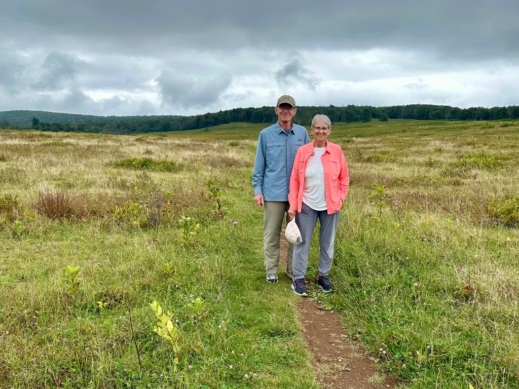
Despite the wet weather and chilly temperatures, our friends enjoyed their introduction to Shenandoah National Park. They assured us that they would be back.
We look forward to seeing them again, especially in that natural setting.
© Bruce Stambaugh 2026


You must be logged in to post a comment.