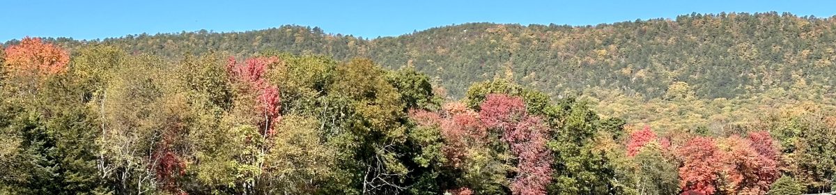
We often hear about the harbingers of spring, but seldom do we speak of those of autumn. Yet, they certainly exist.
If we look closely, the signs have begun to appear. The vegetation and animals are already giving us hints of what is to come in fall. After all, the Autumnal Equinox is only six weeks away.
Fall migration has already begun for some of our aviary friends. Those with bold spring mating colors now appear much duller and are harder to identify.
If we take time to notice, some leaves of deciduous trees and climbing vines have already begun to change. Maybe the hot, dry summer we had here in Virginia’s Shenandoah Valley had something to do with the early signs of fall.
Whatever the reasons, the gradual transition helps to accept that autumn is just around the corner.
Some leaves on a Virginia Creeper vine have already turned red. Photo by Bruce Stambaugh
With the sun behind this bird, it may be hard to discern the species. But birders use other clues to identify birds when conditions prevent seeing the bird directly.
When I cleared a hill on a gravel road, I didn’t spot this Eastern Kingbird right away. I stopped my vehicle as smoothly as I could without skidding on the loose gravel.
First, I noted the bird’s size. Secondly, its posture was distinctive for an Eastern Kingbird. In addition, the habitat was right for this species. Eastern Kingbirds love open, weedy fields, which were behind the bird, with trees nearby, which were on the east side of the road.
The white feathers at the tip of its tail were another field mark. When you are birding, you have to take the shots you are given and be happy with that.
As a photographer, I was happy with the composition of this shot, despite the strong backlighting.
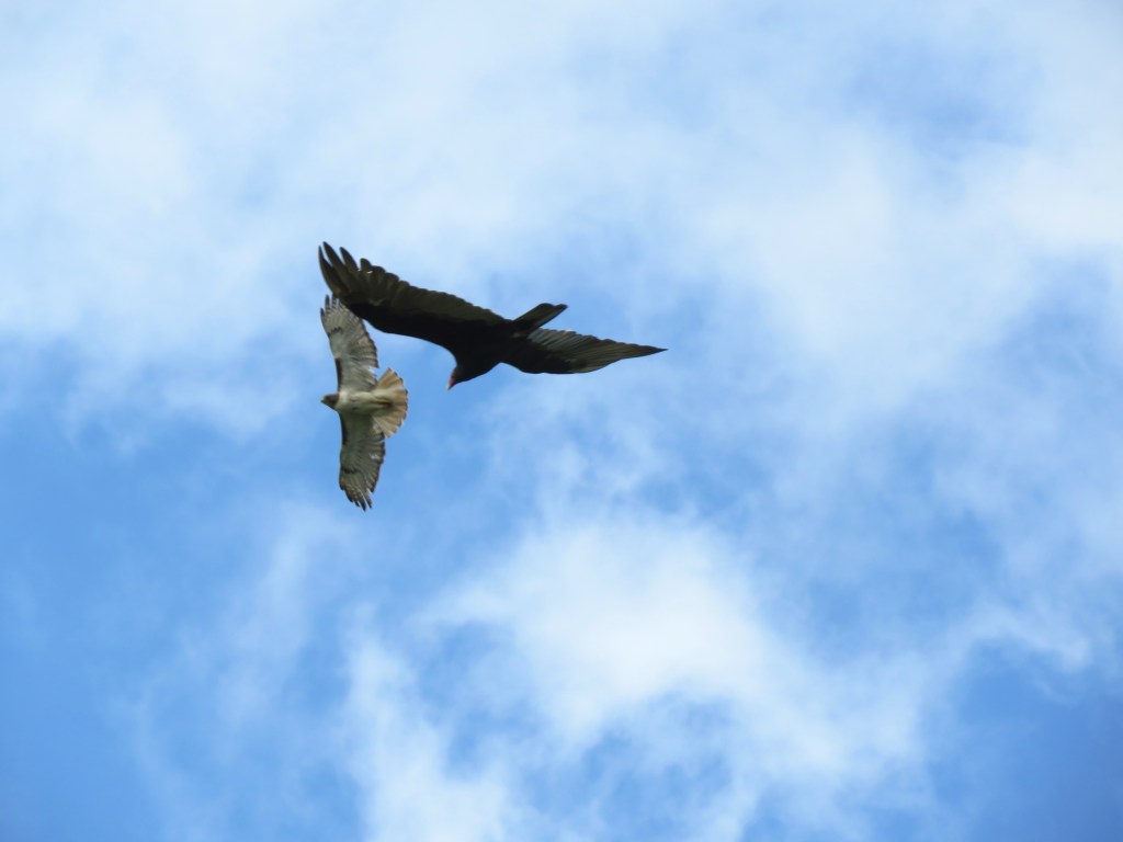
I snapped this photo of a Red-tailed Hawk soaring on a thermal over a fallow farm field. I never saw the Turkey Vulture that photobombed the image until I checked the photo on the camera’s back screen.
Both bird species are common in Virginia’s Shenandoah Valley, one of the leading agricultural counties in the Commonwealth. Most farms supplement their grain and hay crops with milk cows, beef steers, and especially poultry barns.
Consequently, there are plenty of food supplies for both the hawks and the vultures, with dead carcasses sometimes hauled to the back 40 acres for disposal. Deer/vehicle collisions are also common, providing more opportunities for nature’s natural scavengers to feast to the full.
Two birds with one shot. Photo by Bruce Stambaugh
The angle of the seemingly interconnected wings of the two birds also intrigued me. Of course, with the Red-tailed Hawk higher than the sailing vulture, the large black bird was no threat to the Buteo jamaicensis.
It’s hard to believe, but today is the first day of August.
August is notorious for hot, hazy, humid days, better known as the Dog Days of Summer. But as this photo from August 2024 shows, when a cold front pushed through, it used the energy from the heat and humidity, along with the dew point, to create some pop-up thunderstorms.
The cooling after the storms is a welcome relief, but given August’s reputation, the pleasant weather seldom lasts.
Of course, August offers more than uncertain weather. County and state fairs are held. Back-to-school sales entice parents and their offspring to purchase new clothing for their students, who will soon begin a new school year.
Farmers are literally making hay and hoping for rain to quench their grain crops. Golden, hazy sunsets will close out productive August days.
And for the record, August officially begins the fall bird migration, with some birds already molting into their non-breeding plumage.
So, welcome to August, and embrace all that she has to offer.
An August thunderstorm formed over Shenandoah National Park. Photo by Bruce Stambaugh
The resurrected Rising Sun Redbud tree. Photo by Bruce Stambaugh
A year ago, my wife and I came home to find our lovely Rising Sun Redbud had been badly damaged in a severe thunderstorm. It had been perfectly shaped with a beautiful canopy of multicolored leaves.
After the storm’s strong winds had their way with the poor tree, it looked disheveled. It had to be significantly trimmed back, leaving only the back half of the canopy.
How the tree looked late last summer after the trimming. Photo by Bruce Stambaugh 2025
I wasn’t sure what would happen this year, especially after the unusually harsh winter we had, followed by a 22-degree freeze in late May. That hard freeze withered all of the sprouted leaves. I wasn’t very hopeful.
Nature, in her impulsively resilient renewal, proved me wrong. Today, the tree has produced a new crop of leaves that are as pretty and robust as the ones before the killing frost.
Life’s storms come and go. Nature rebounds despite our fears and doubts. Our resurrected Rising Sun Redbud is proof.
The new canopy of the Rising Sun Redbud tree. Photo by Bruce Stambaugh
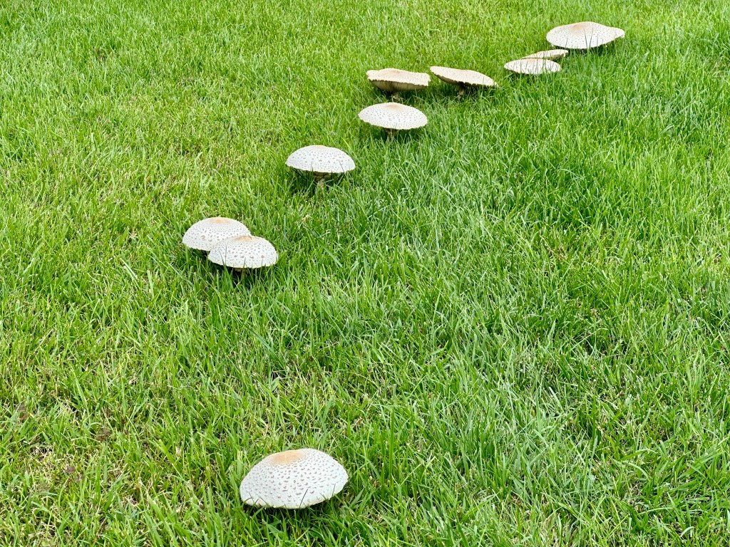
About this time every summer, a marvel of nature appears in our neighbor’s backyard. A fairy circle or ring appears almost overnight.
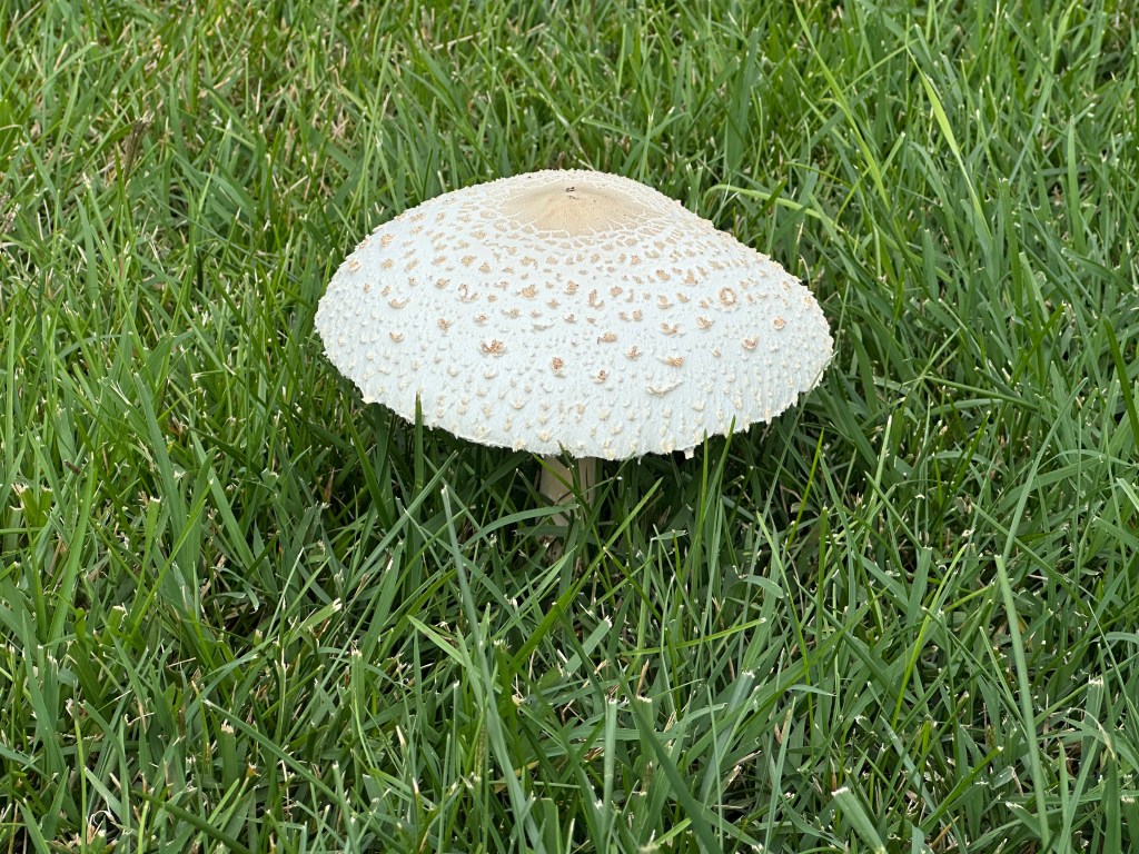
The appearance of a lone mushroom is the first sign of the false parasol fungi. By evening, several others have formed an arch. The white caps contrast nicely with the vibrant grass.
Though the fungi seem to be separate ones popping up, they are actually all connected underground. The arch or ring grows as the fungus seeks food underneath the exposed mushrooms, which are not edible.
The fairy rings are naturally occurring and, according to folklore and myth, can bring either good or bad luck. They are also called elf circles or pixie rings. By the time the neighbors mowed their yard, the fungi were the size of dinner plates.
Fairy rings mostly appear in grassy areas, but are also seen in forests. Wherever they show up and in what formation, the fungus is a sight to see.
Though we were in Maine, we felt the oppressive summer heat like the rest of the U.S. and even globally. We even had a day of smoky skies from the wildfires. The only reprieve was our host’s cabin, where the ocean breezes kept the temperatures tolerable.
Nevertheless, we wanted to see other attractions, so we headed out despite the heat. Unfortunately, we chose the warmest day of our stay to venture to the Coastal Maine Botanical Garden in Boothbay, Maine.
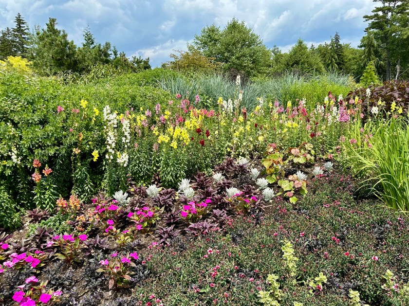
We toured the many lovely gardens, but not all of them. Elder folks that we are, we wilted under the heat and humidity. We sought shelter at lunchtime in the air conditioning of the garden’s cafe.
We continued our walking tour until we found a shuttle cart that drove us into the far reaches of the popular destination. I would have loved to walk those shaded paths down to the ocean, but I wasn’t sure I would make it back. So, our brief riding tour completed our time there.
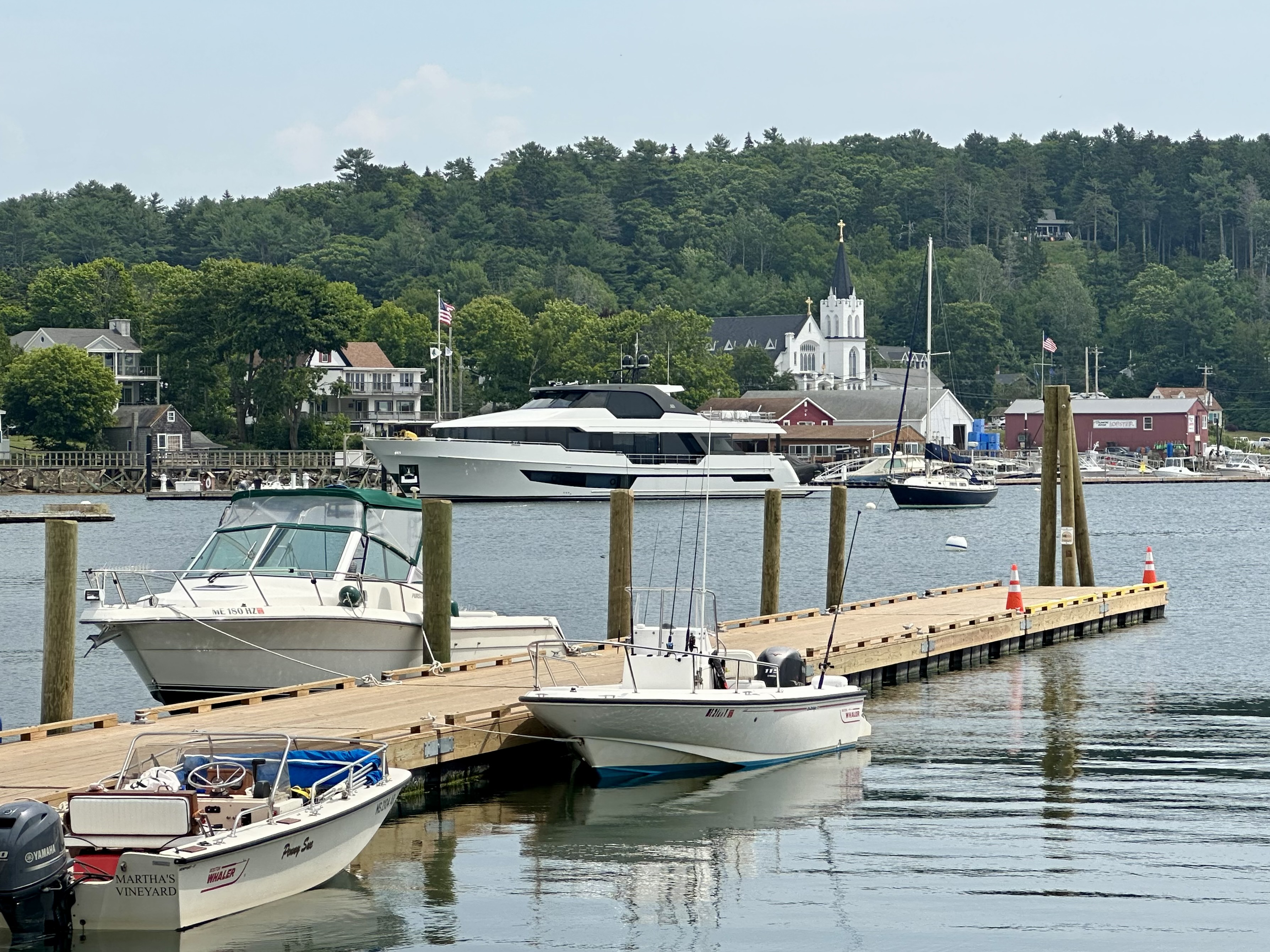
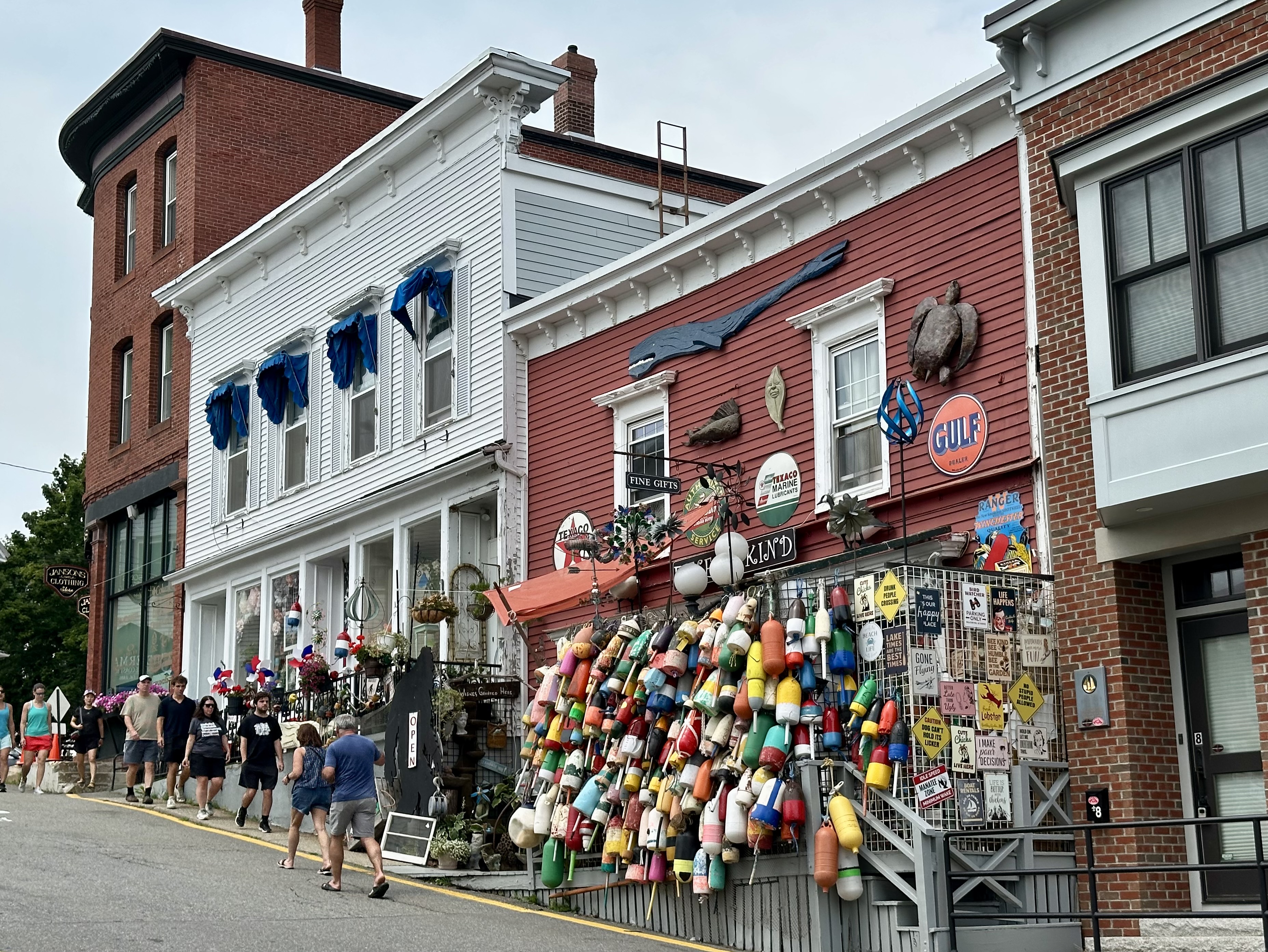
A short drive south brought us to the tourist-popular Boothbay Harbor. Given the crowd, I was fortunate to find a parking spot. We walked along the harbor’s edges where we could until we found an ice cream shop. It was the pause we all needed.
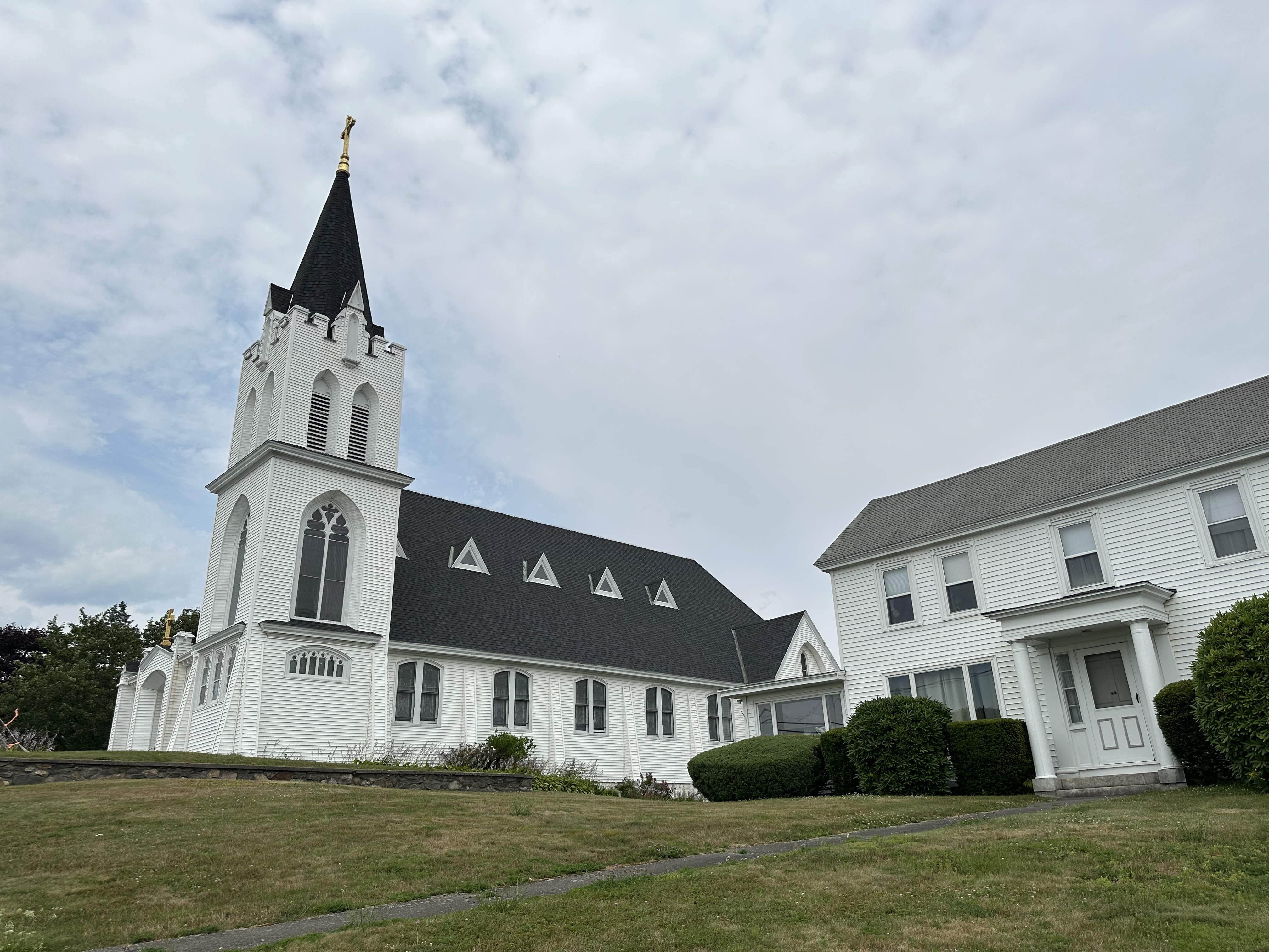
I had spied a large white church across the bay, so we drove around the bay so I could photograph the church and the bay from that location. An engaging dock worker permitted me to enter the private dock to take my photos, but only at my own risk. With a smile, he said he would rescue me if I fell in. I didn’t.
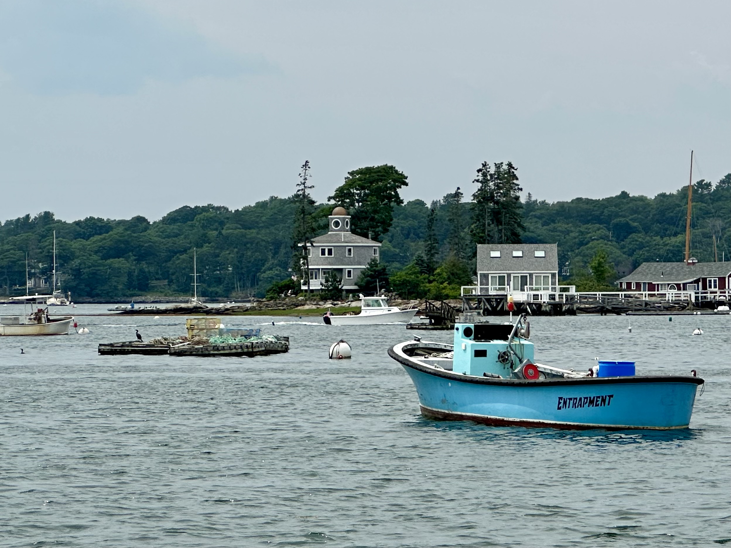
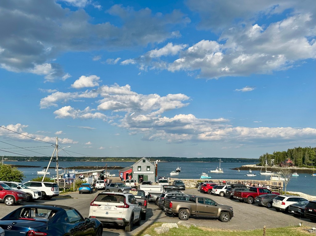
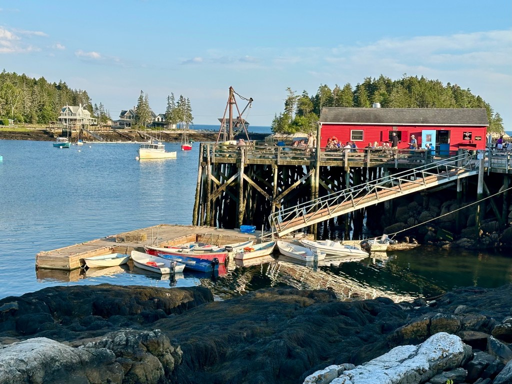
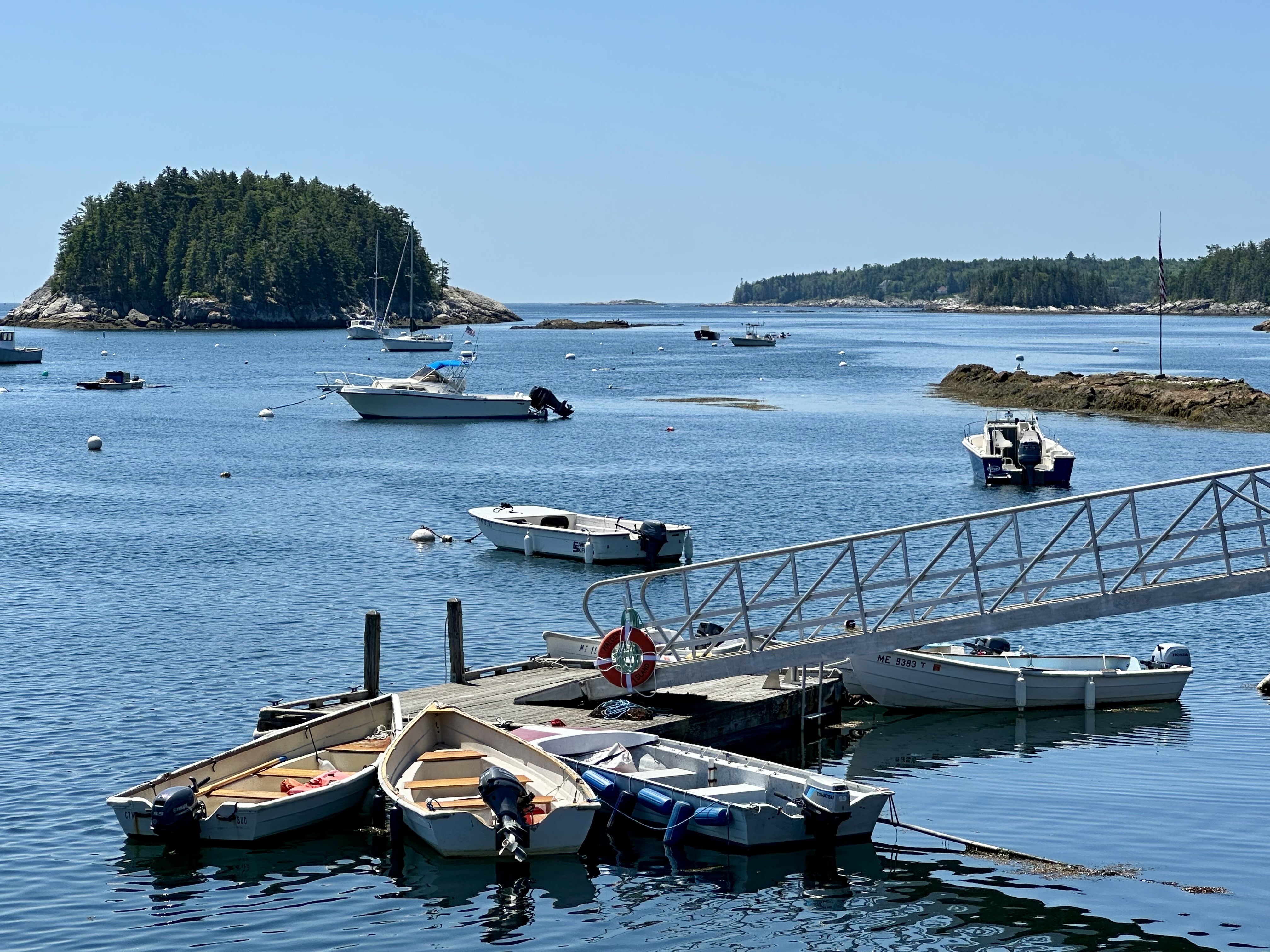
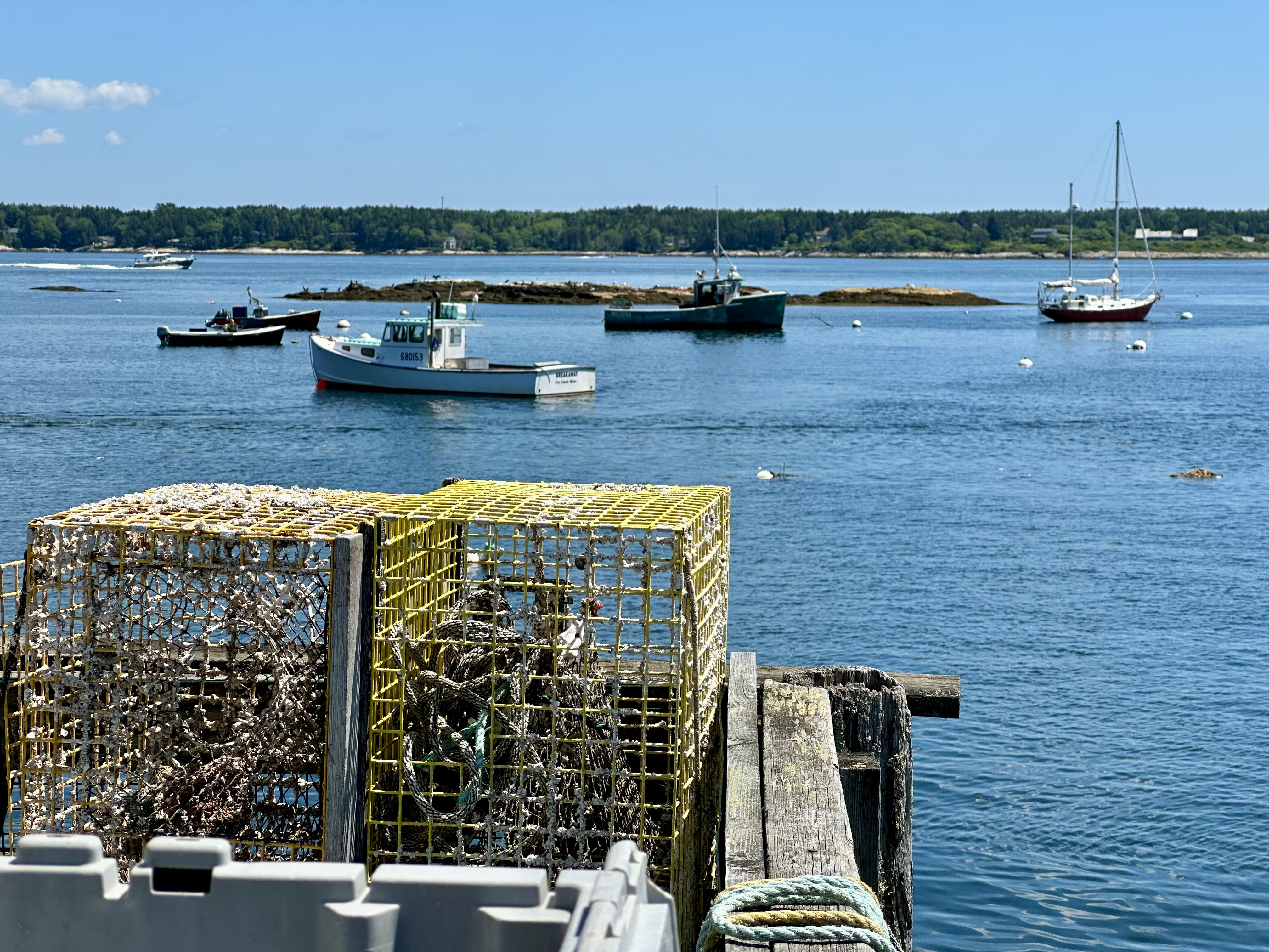
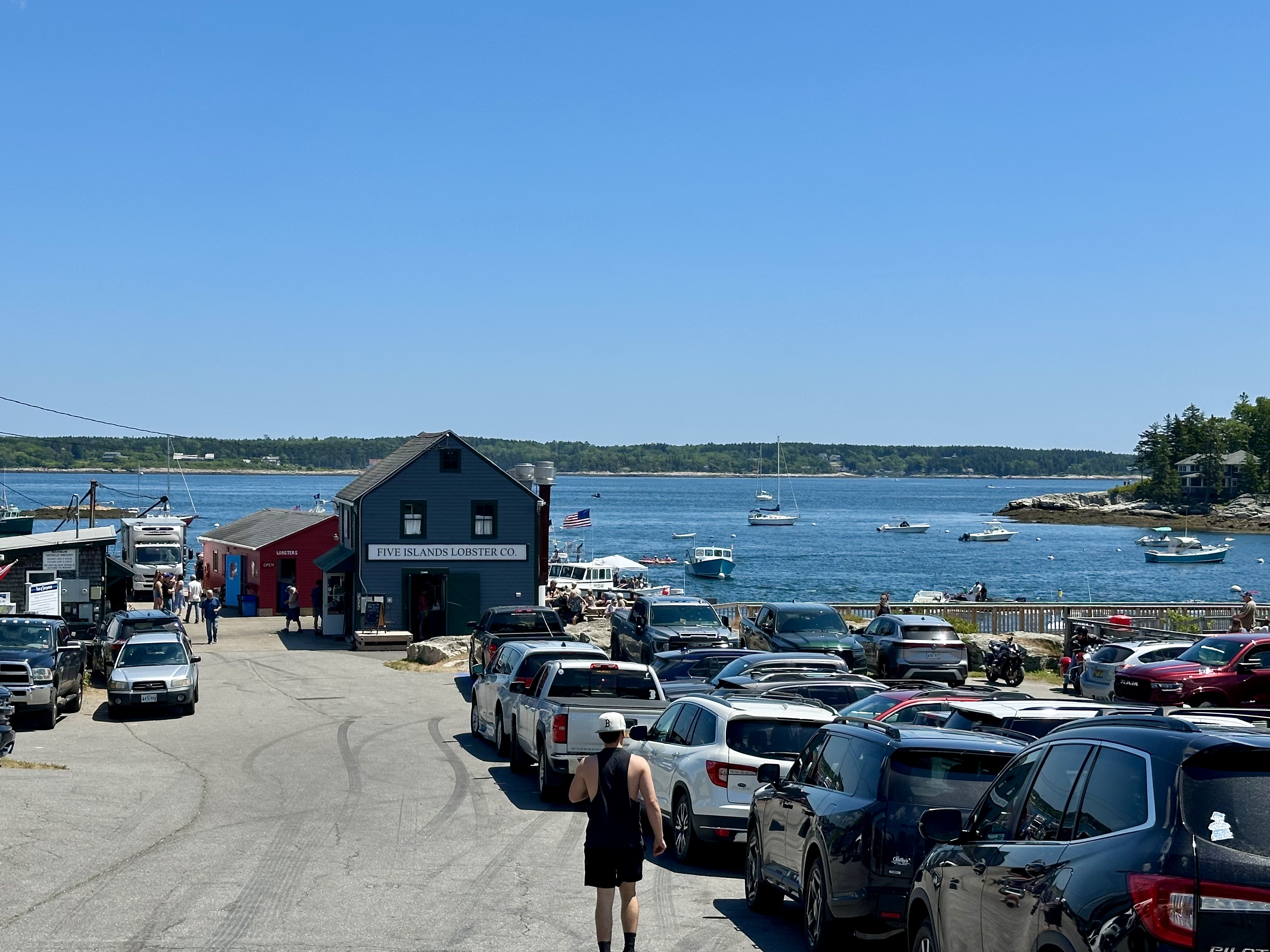
In the evening, my wife and I drove back to Five Islands for another lobster roll before we had to leave in the morning. With the sun’s angle just right, I was more interested in capturing photos of the boats moored in the harbor and near the surrounding islands.
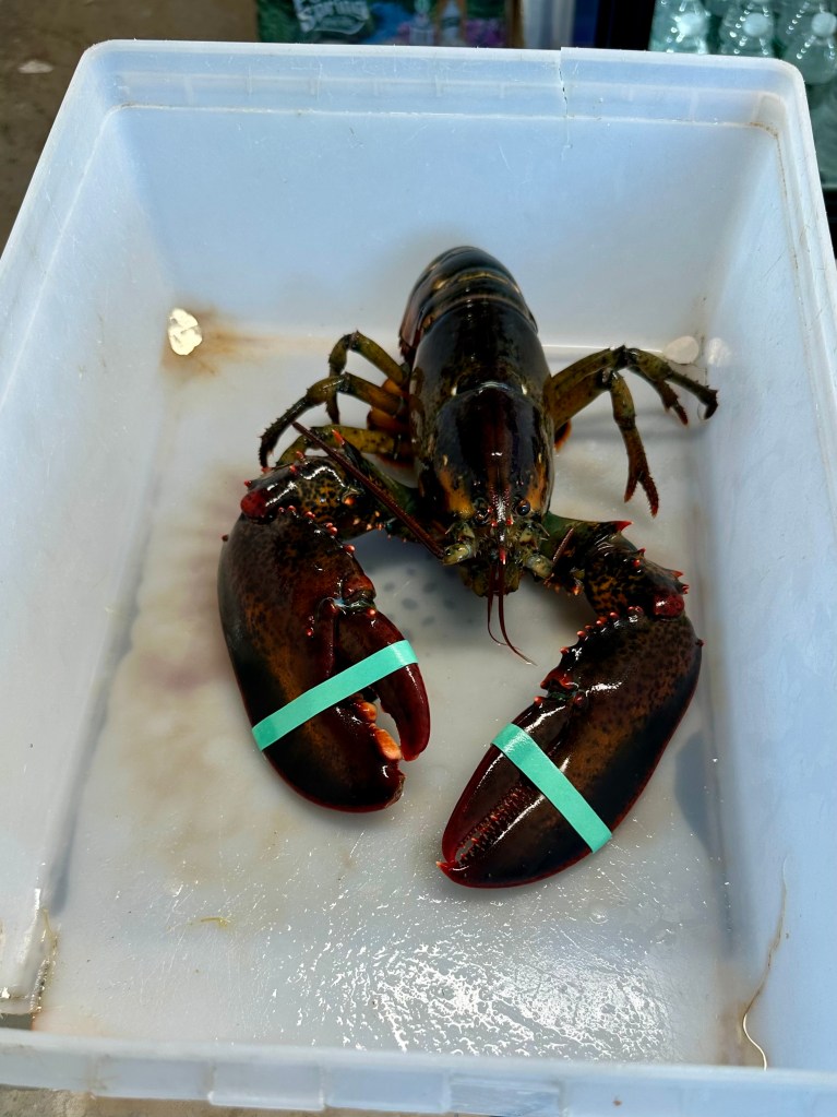
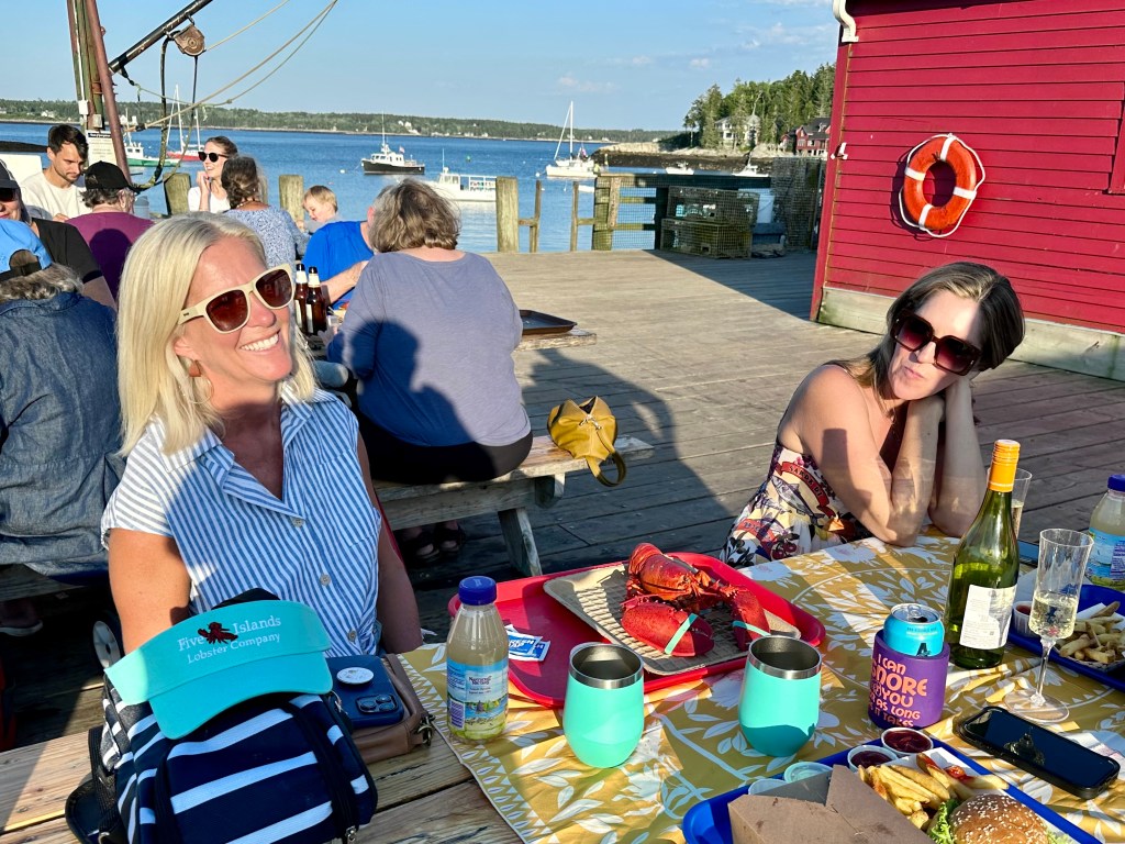
When I ordered our food, I noticed a live lobster, with its claws taped shut, resting in a box on the counter. Perhaps it had been ordered for a cook-it-yourself take-out.
When I returned to our table, two other couples had just sat down with their seafood dinners. They kindly allowed me to photograph a boiled lobster. Clearly, the cooked lobster was much more appetizing than the live one.
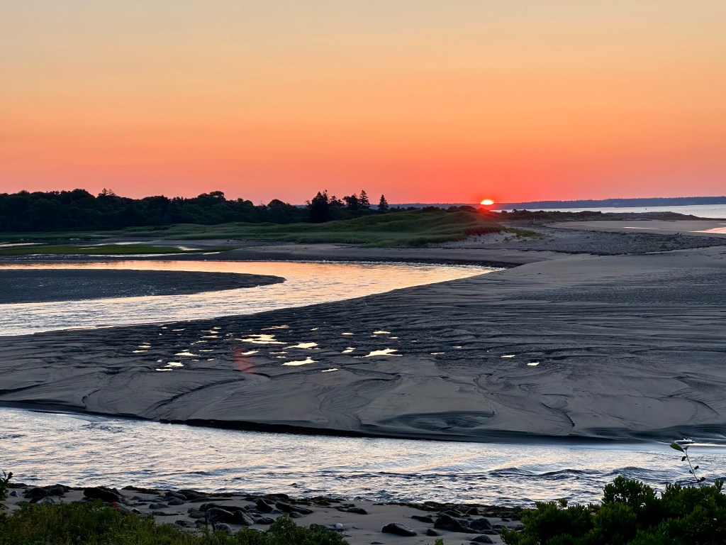
We greatly enjoyed our vacation with family and friends, meeting new people, and exploring new places. The bird outings were fun, too. The next morning’s sunrise served as a nice send-off.
The sunrise served as a lovely send-off for us. Photo by Bruce Stambaugh
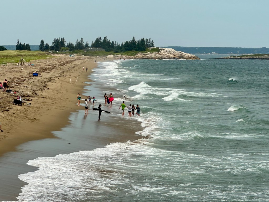
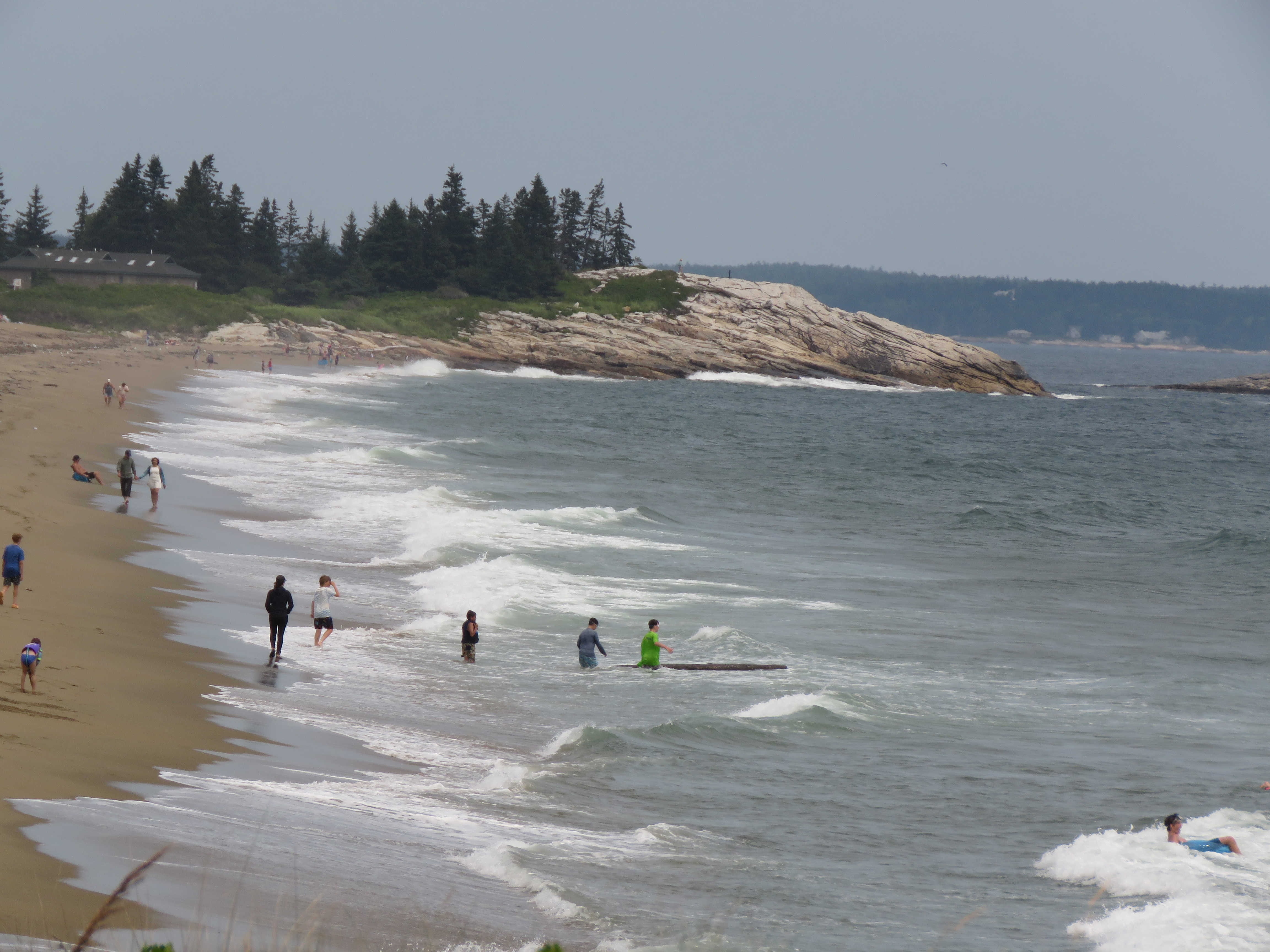
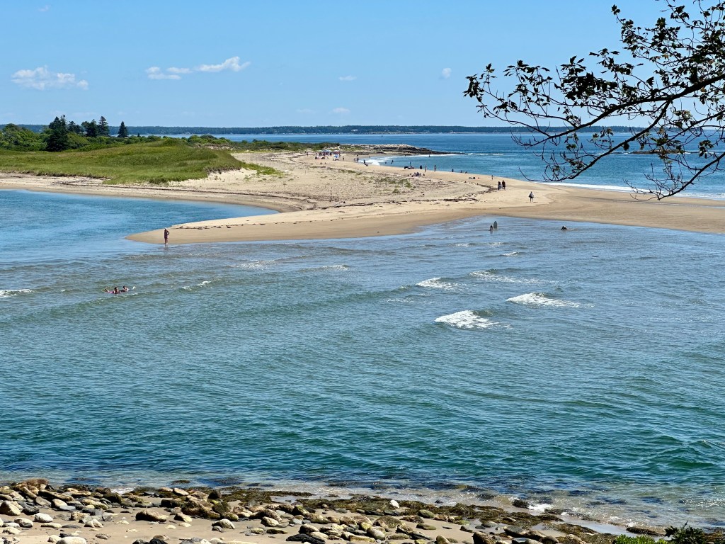
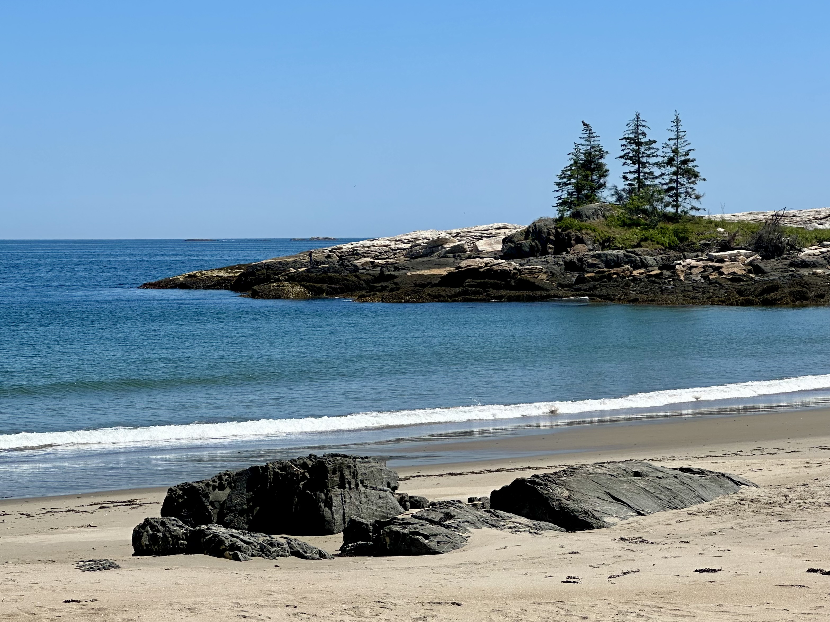
One of the beaches at Reid State Park, Georgetown, Maine. Photo by Bruce Stambaugh
Reid State Park lies a mile across the bay from the cottage where we stayed. To get there by car, we drove seven miles.
The park serves as an access to the ocean for the general public. It also stands as a stark reminder of Mainers’ desire to preserve and protect their precious and lovely coastline from too much commercial development.
Diana, our host, wanted us to experience the park the way other visitors do. It was also an opportunity for a wider perspective of the Atlantic Ocean than what we could see from her cottage in the woods across the way.
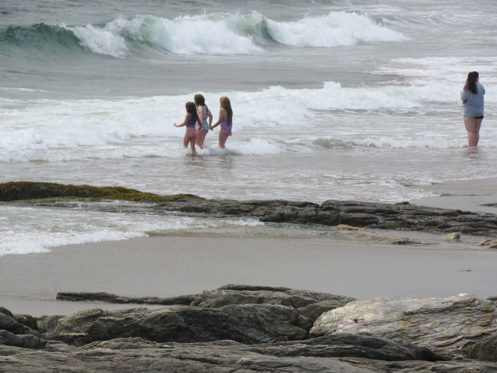
Young girls braved the waves. Photo by Bruce Stambaugh
With the tide high, the waves rolled in to the joy of the water lovers of all ages. Young girls braved the strong waves, trying to stay erect against the crashing force. Their mother stood on alert where the waves turned to foam.
Wanting to try to ride the larger waves ashore, teenagers snagged a driftwood log and walked it bravely into the breakers. I was afraid to watch further.
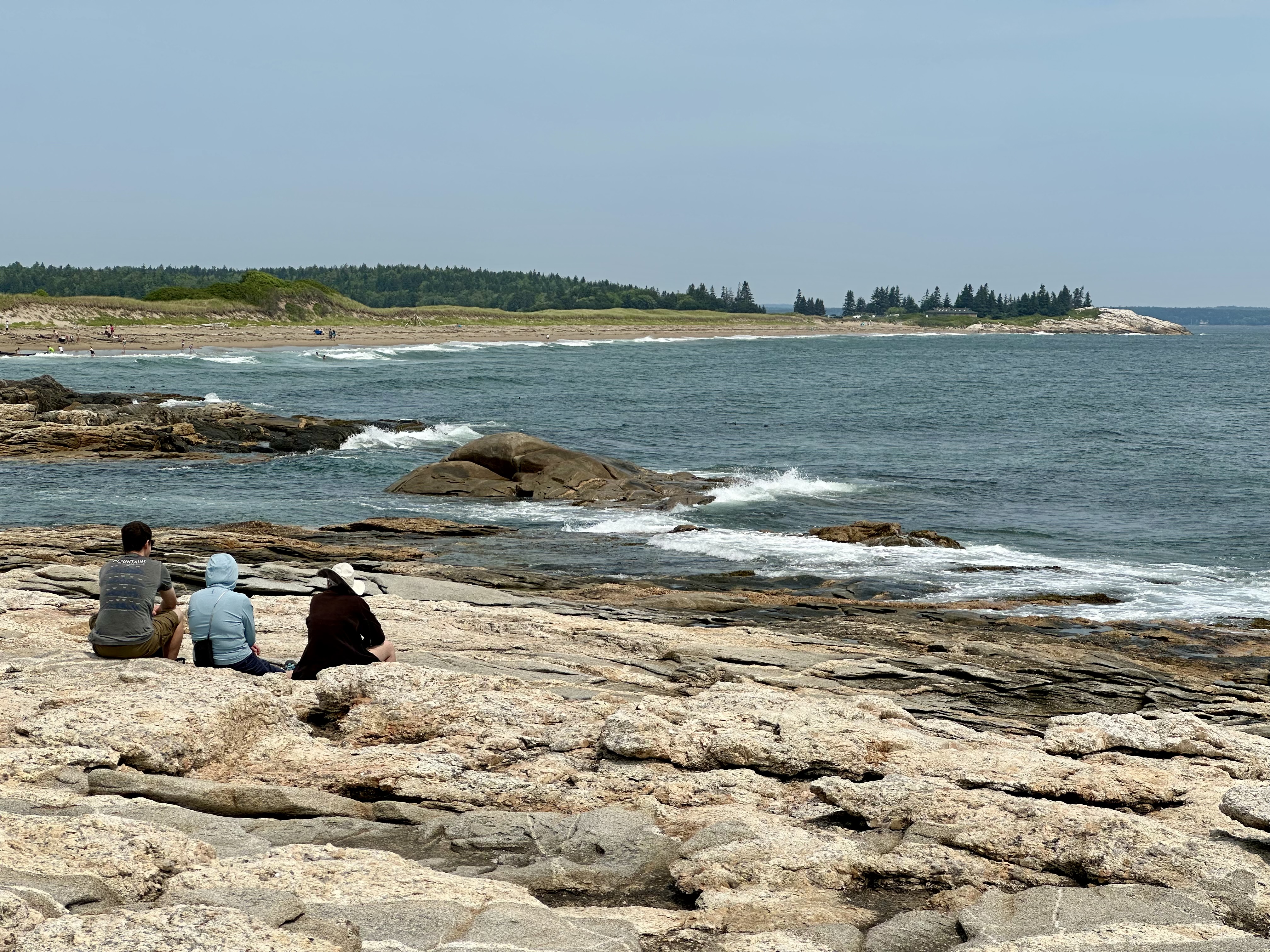
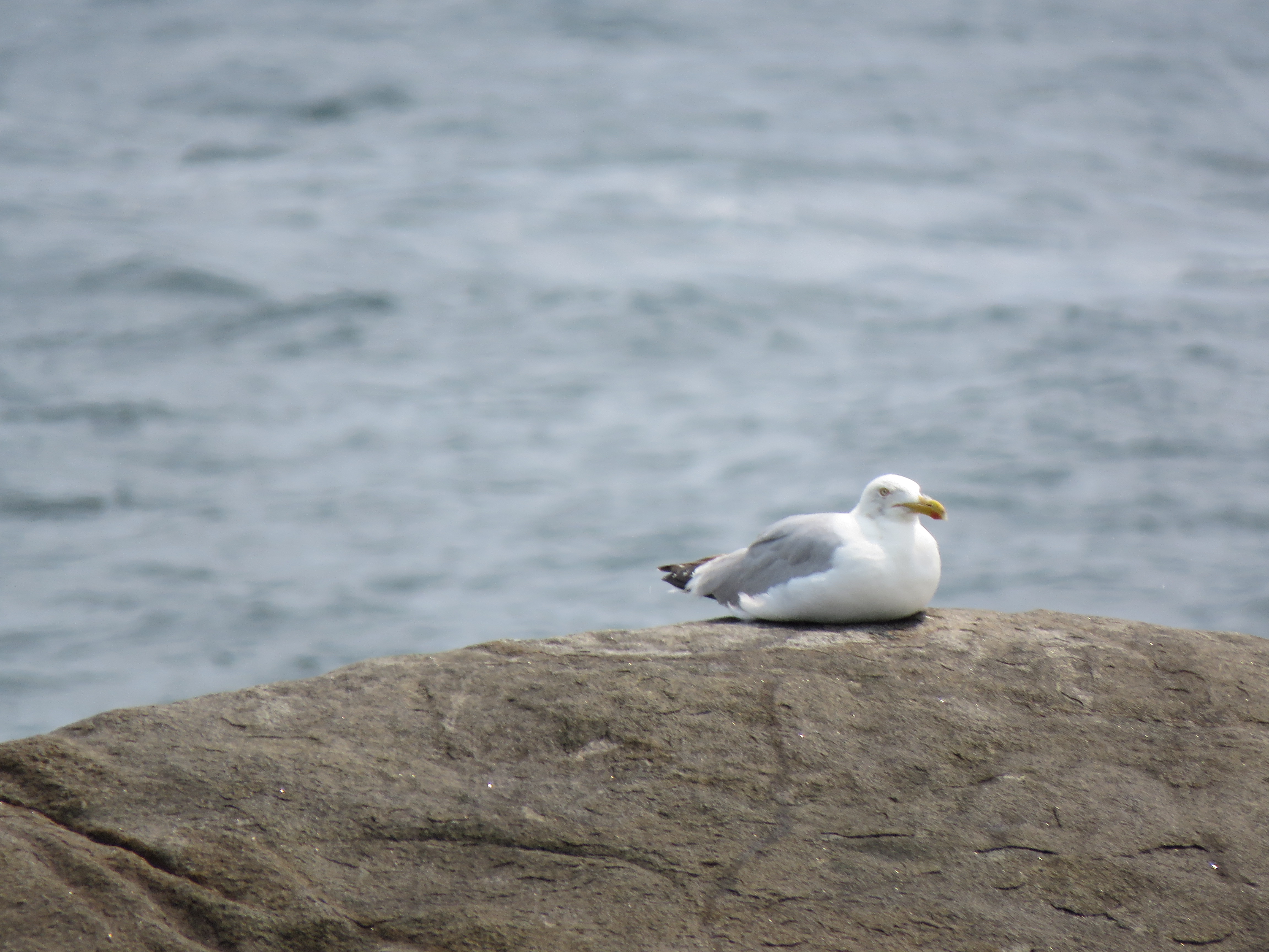
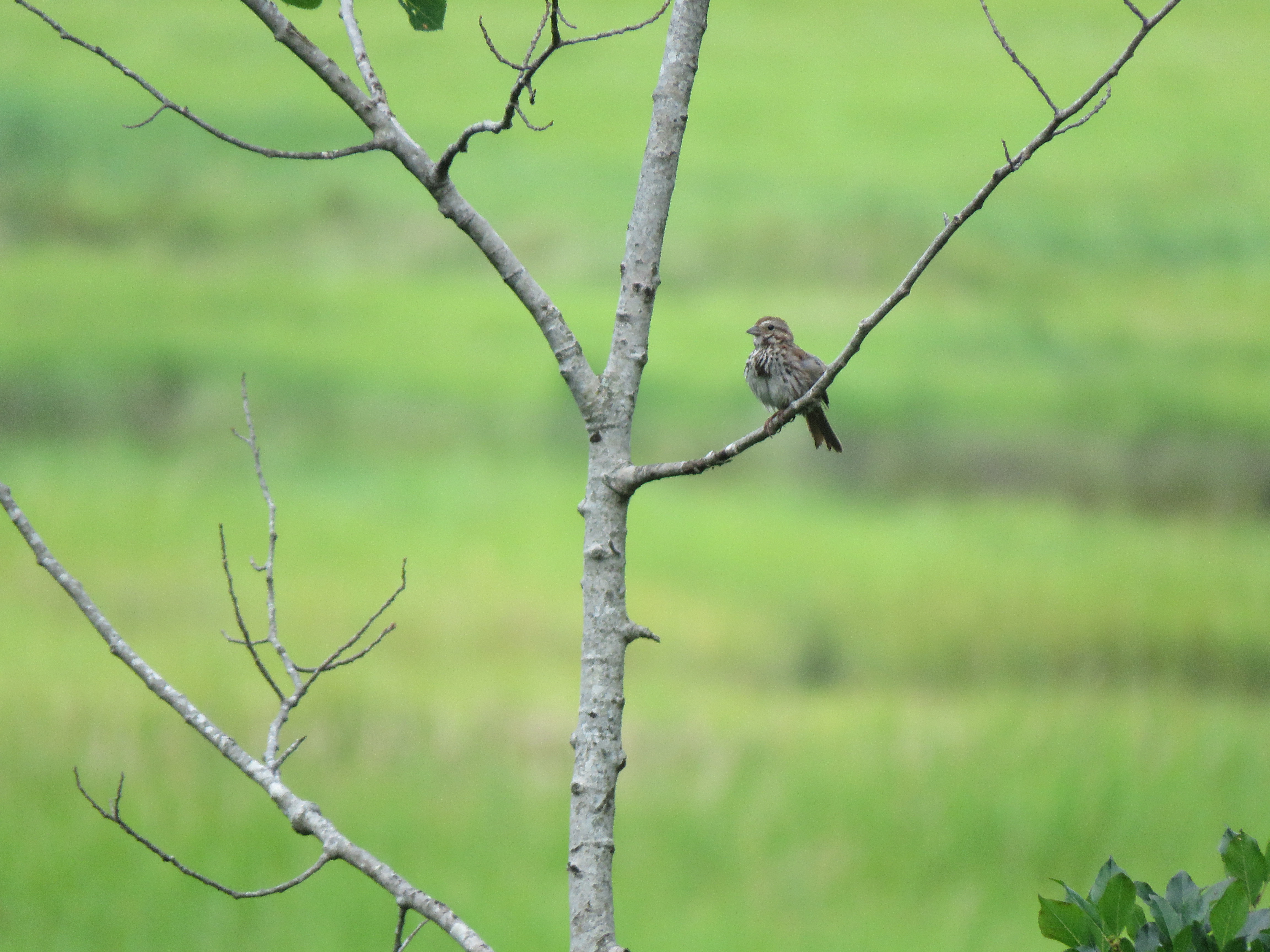
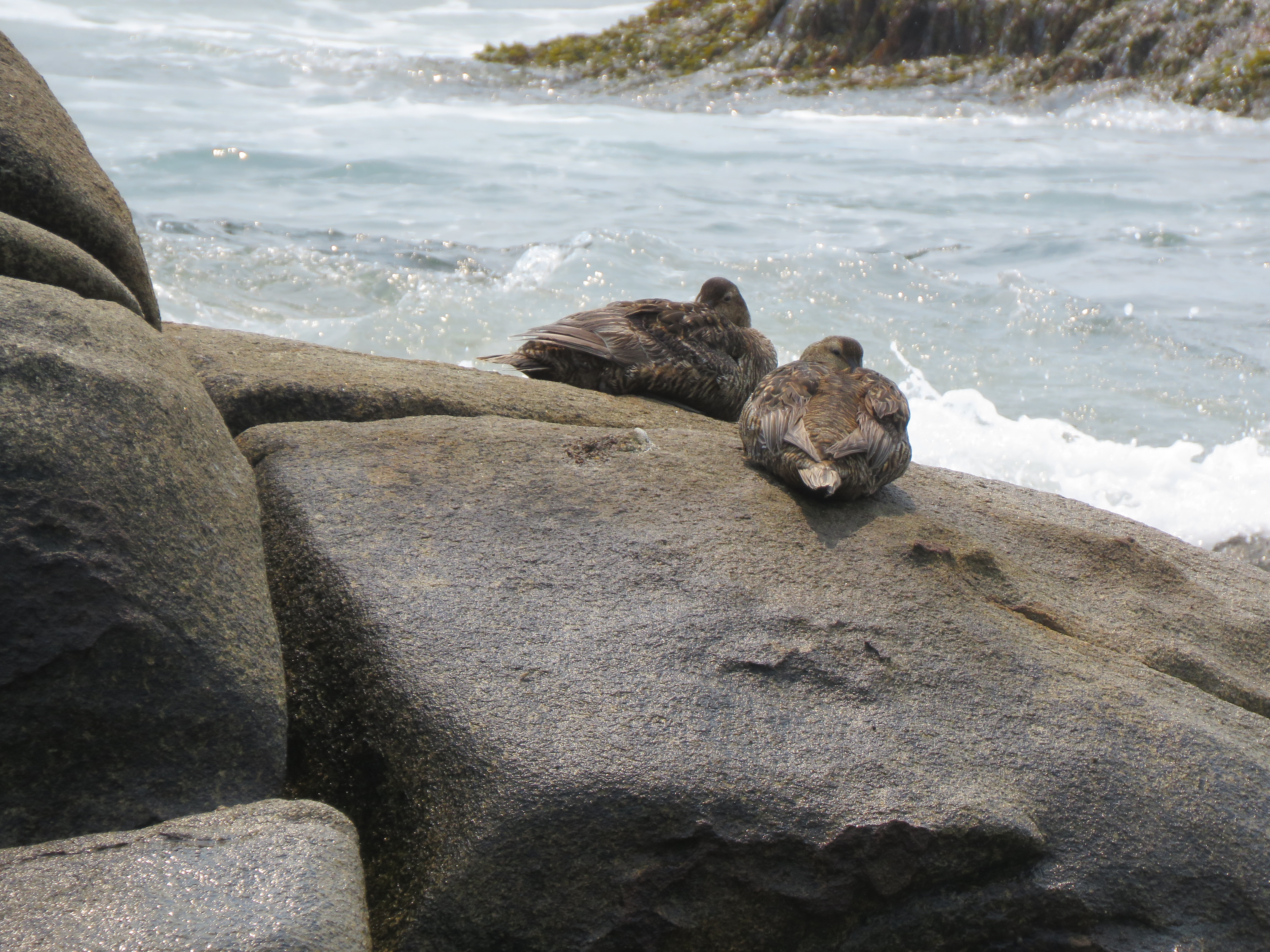
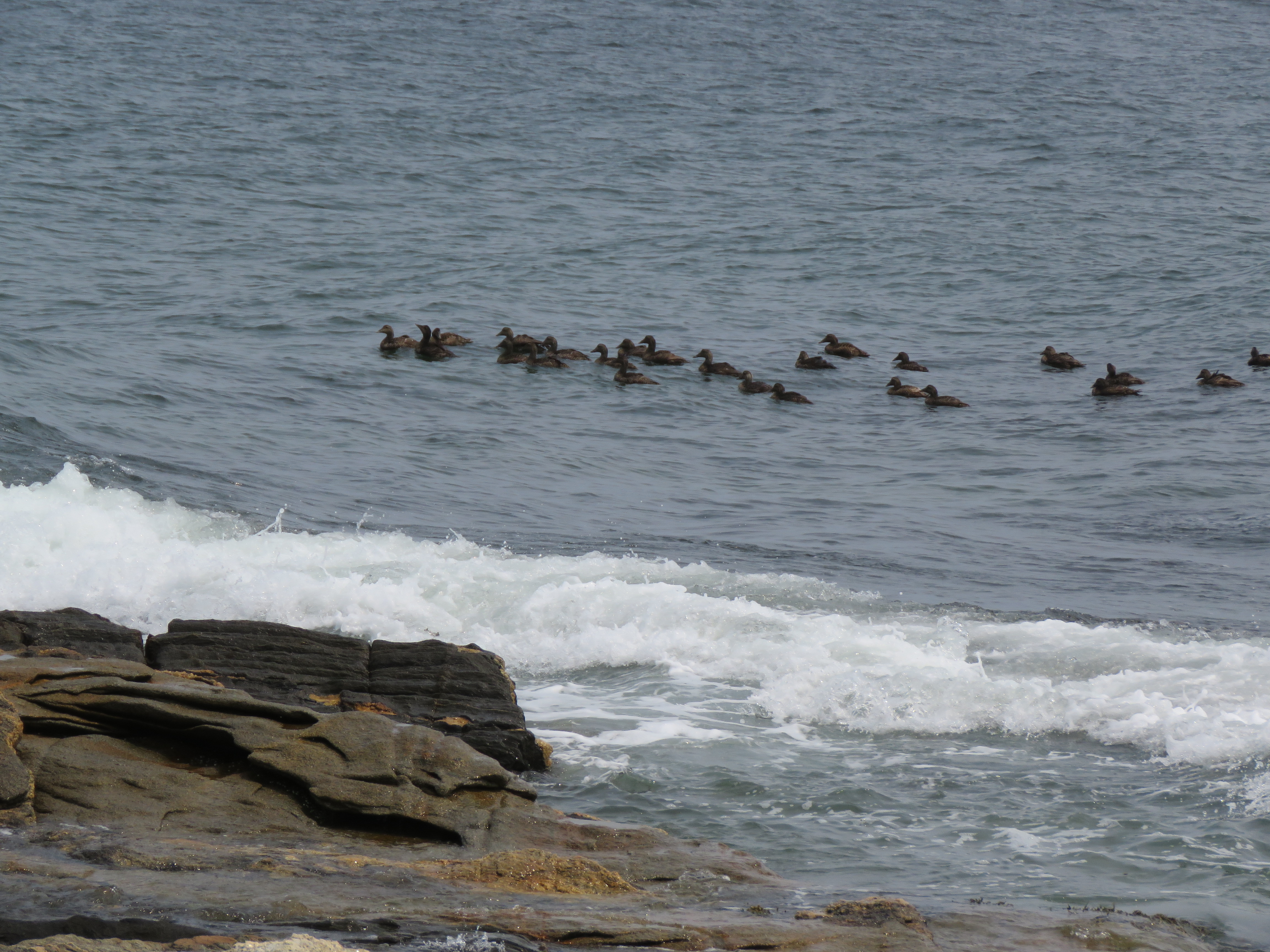
Ducks also rode the waves close to shore and out of the wind. Gulls perched on rocks or pestered picnickers for any discarded scraps. Song Sparrows darted from scrubs to sea oats in search of proper food. I stood on the giant metamorphic rocks for an elevated view of all the action.
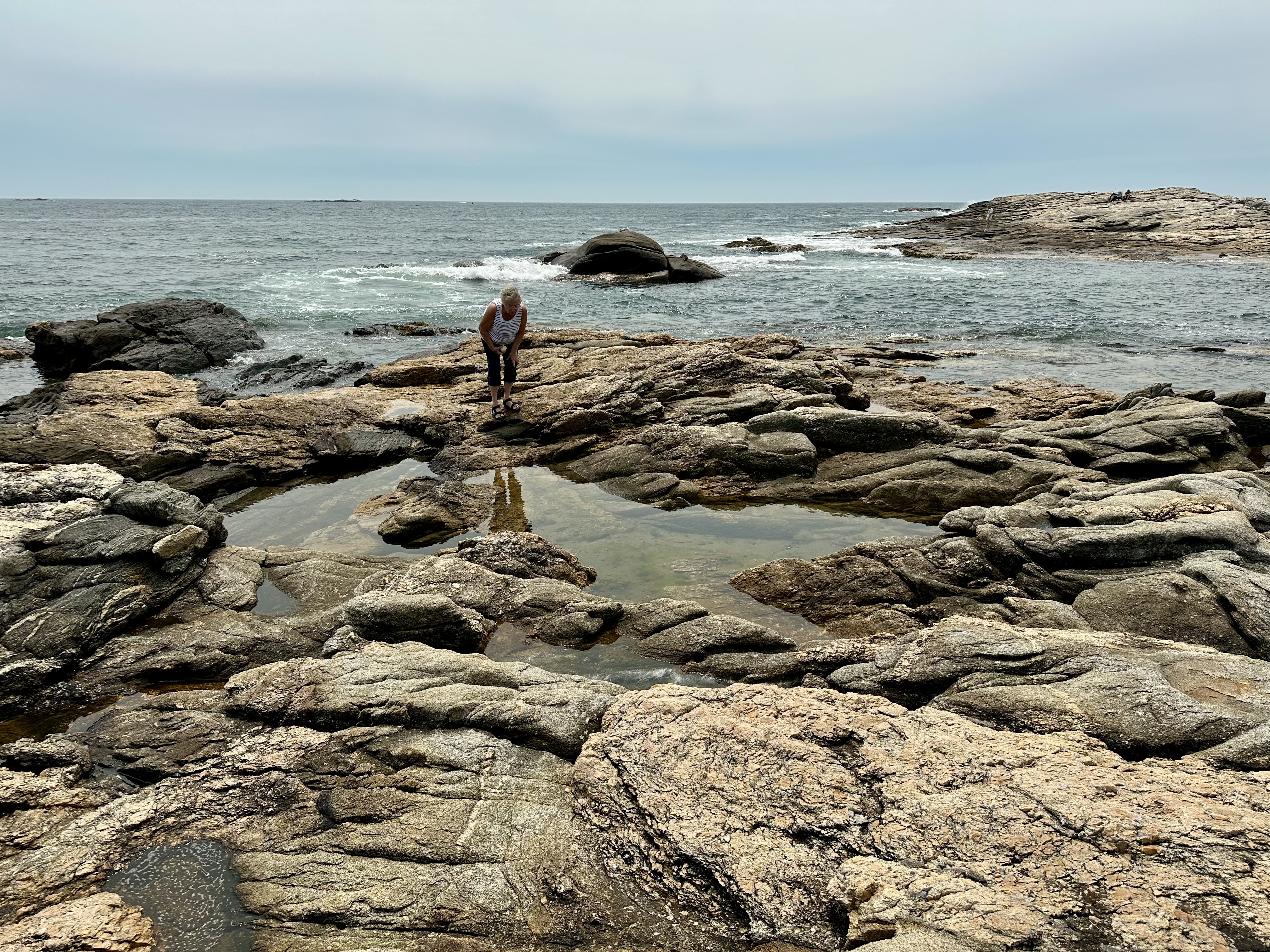
People searched the tide pools in the rocks for any trapped fish and starfish. The park featured no water slides or swimming pools. The purpose was to enjoy all that nature offered, from water-worn boulders, sandy beaches, and birds and butterflies.
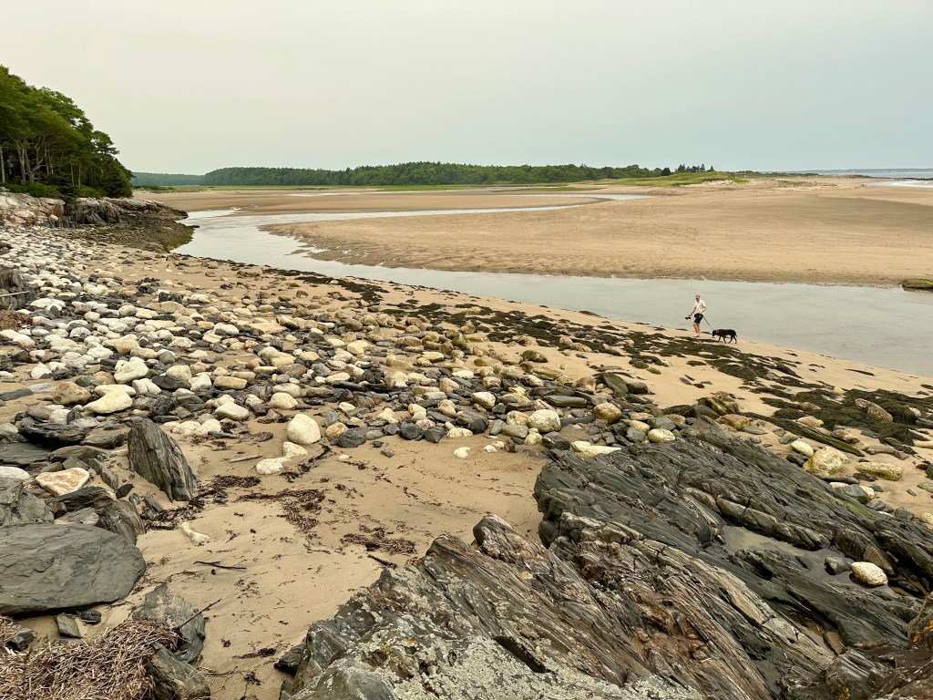
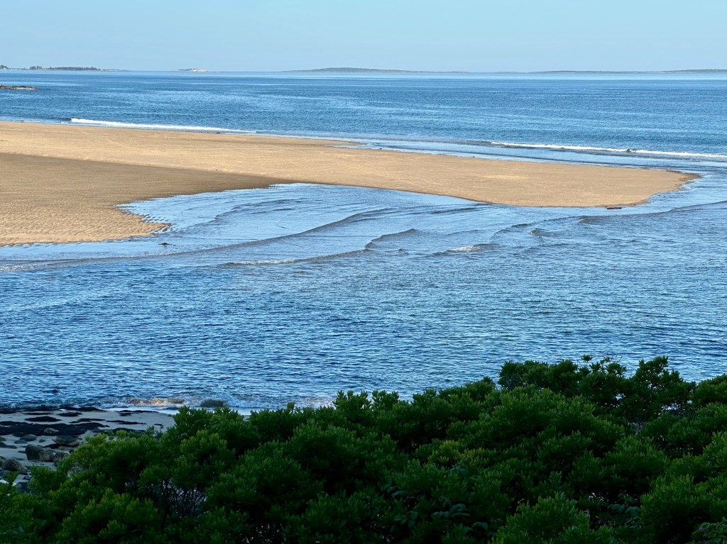
When we returned to the cottage, low tide revealed the tidal flats of sweep sand for all to enjoy in the park and beyond.
Low tide expands the park’s “beach” exponentially. Photo by Bruce Stambaugh
Our first look at the ocean from the cottage where we stayed in Maine. Photo by Bruce Stambaugh
Without realizing it, my wife and I drove through rural Maine toward our destination on the road we needed to take to our friend’s cottage. We had the road’s name but not the state route number.
We needed to stop at a grocery store to pick up butter and eggs. Since the country highway went through no towns, there were no stores to be found.
I was shocked when we came to US 1, the highway that runs southwest to northeast, essentially paralleling the Maine coast. We headed into Bath to buy the needed foodstuffs. It’s a 30-minute drive from the cottage to the closest grocery store in Bath. So, our stop was required.
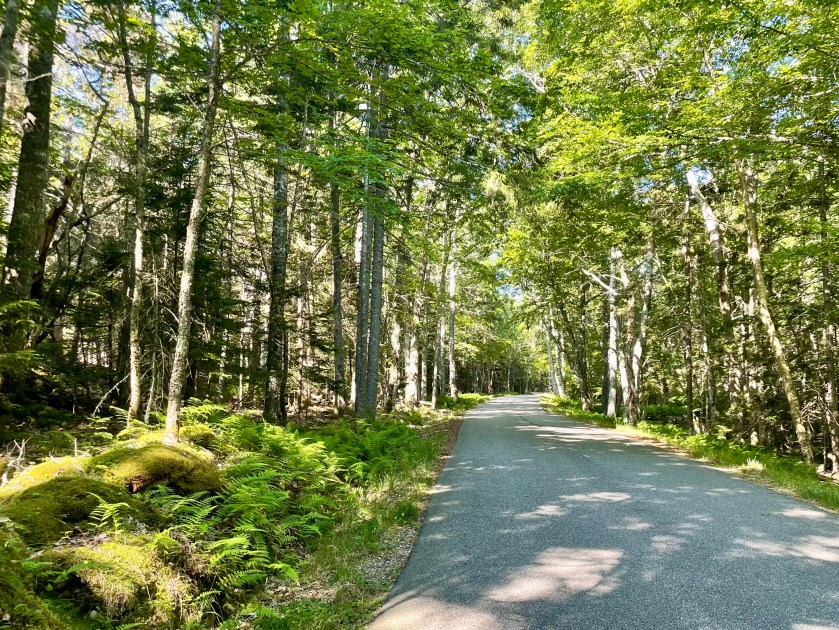
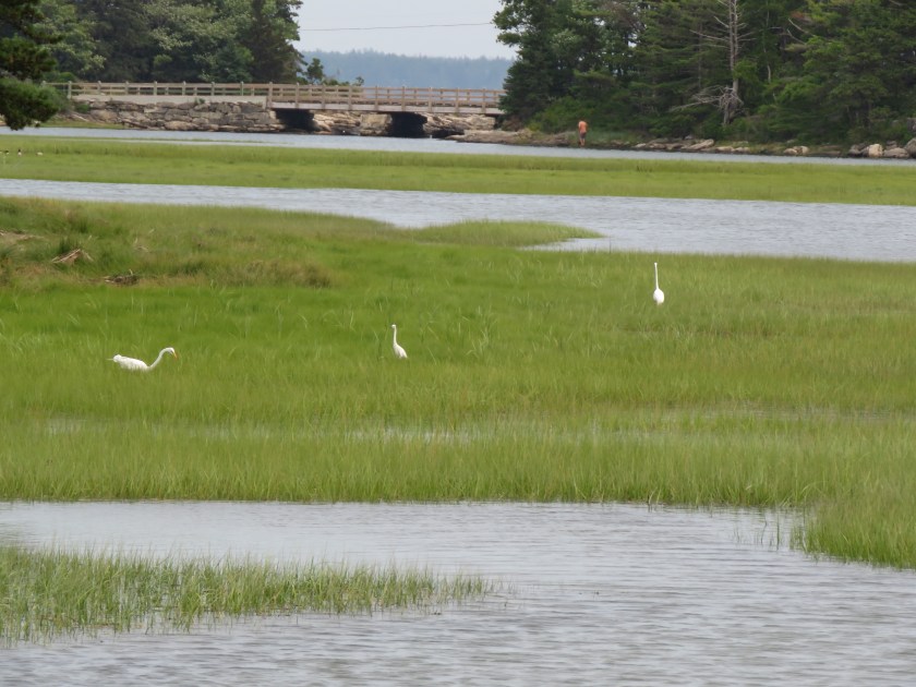
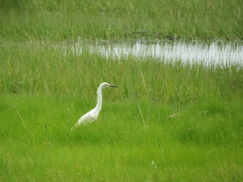
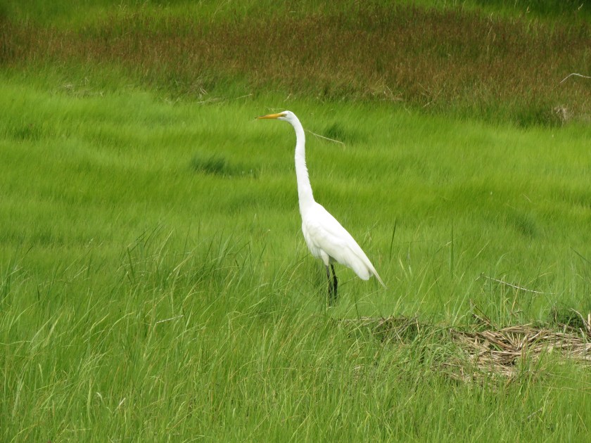
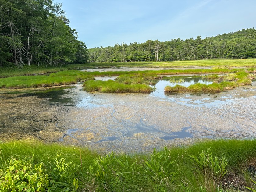
Heightened anticipation propelled the drive south to the island. The ubiquitous birches, maples, and evergreens line the gently winding road to the cottage, only interrupted by bridges across inlets and streams, and marshes and ponds where Great Egrets and Snowy Egrets probed among the reeds and rushes.
When we turned onto the narrow road to the cottage, fiddlehead ferns, balsams, and birches welcomed us. So did our host when we finally arrived.
The refreshing ocean breezes, the roar of the waves, the scent of the pines, and the familiar birdsongs offered a welcoming chorus, too. Never had settling in been so easy.
An hour later, we stood on the dock at Five Islands, Maine, for the annual blessing of the boats. The name comes from the five islands in the harbor. A local pastor said a patriotic prayer for safety and a successful lobster season, and the lobstermen and their friends and families gathered on their boats. Other moored boats provided picturesque opportunities.
As soon as a memorial wreath had been tossed into the water in remembrance of those hardy fishermen who had passed on, we found a picnic table that sheltered us from the stiff wind and enjoyed our sack lunches.
Most lobstermen powered up their boats and headed out to ply their well-hewn skills. Others, on bigger boats, stayed to party the afternoon away.
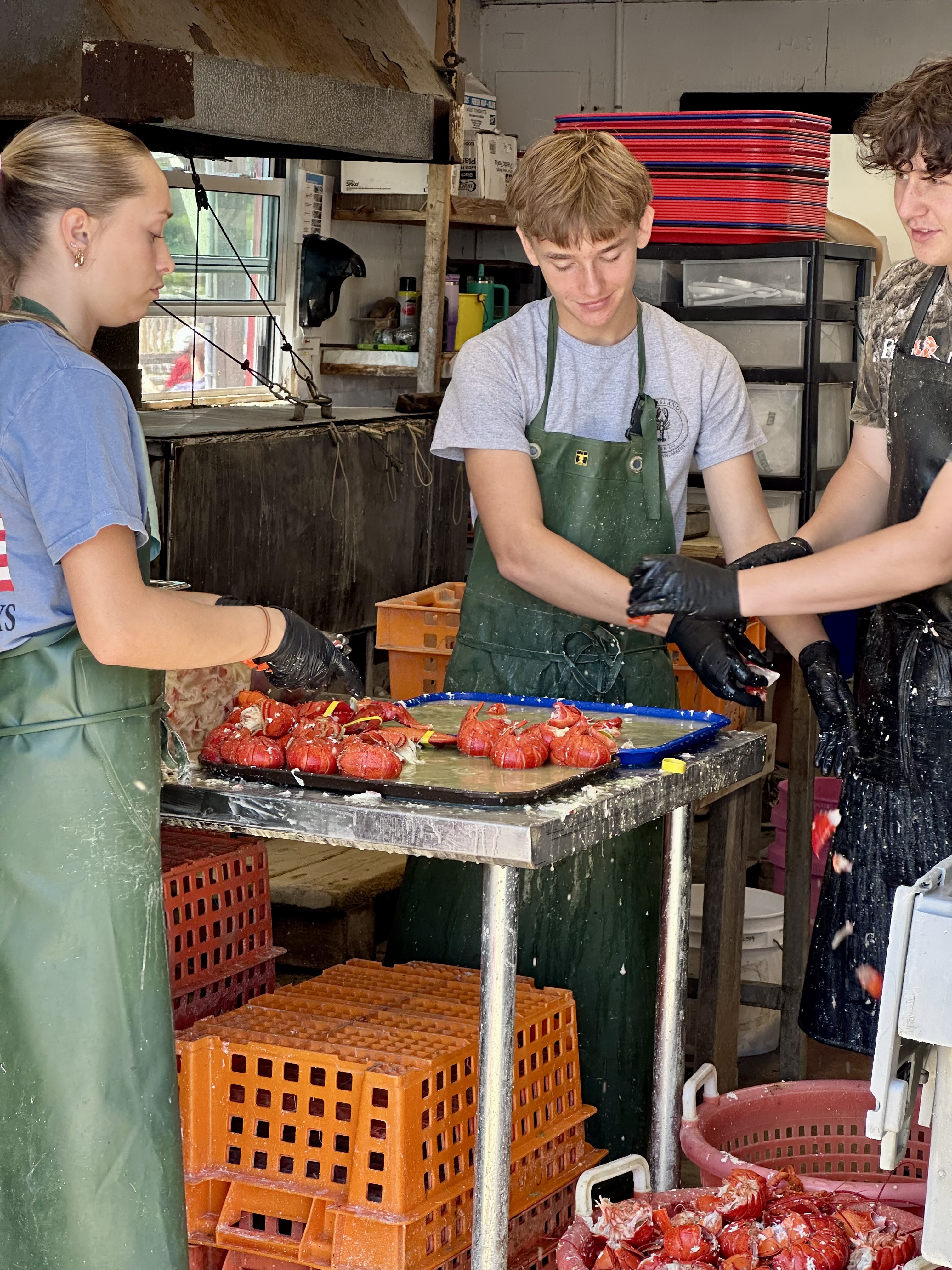
Teenagers separated the luscious lobster meat from its hard gray shell. They provided the crucial step between the marine crustacean and the delicious $30 lobster rolls. I hoped they were paid well.
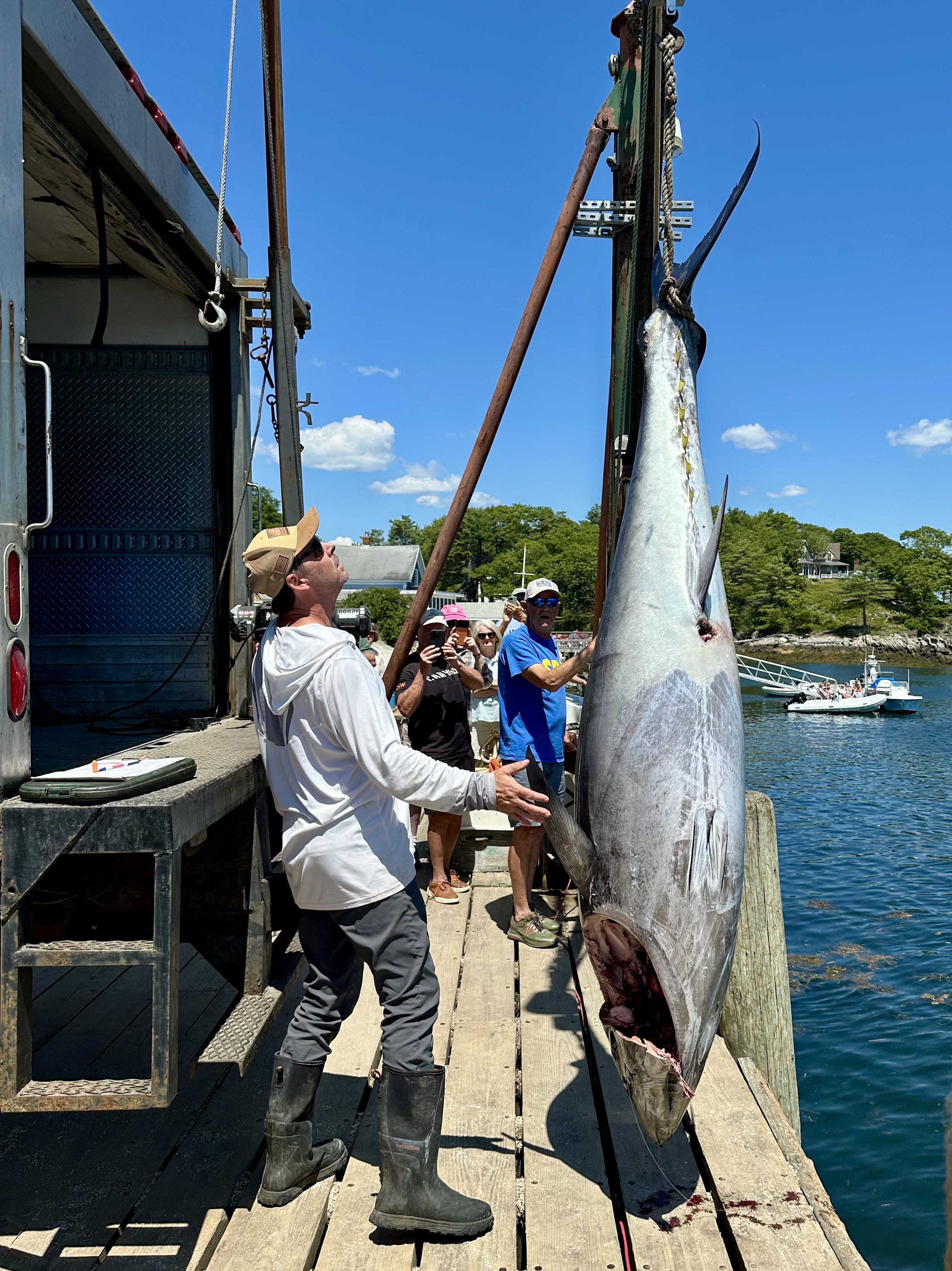
Soon, a box truck backed onto the dock, and a 450-pound Bluefin Tuna was hauled up, prepared for market, and trucked off. It was fascinating to watch the efficiency and cooperation of people who knew what they were doing and were doing it well.
As we walked back to the car, I couldn’t help but notice the orange lichens painting the rock retaining walls by the steep embankments. The wood-shingled cottages sat askew overlooking the harbor.
By the time we returned to the cottage, the low tide had revealed the sandy beach hidden by the ocean at high tide. The sand expanded wider and wider as it approached the receding Atlantic.
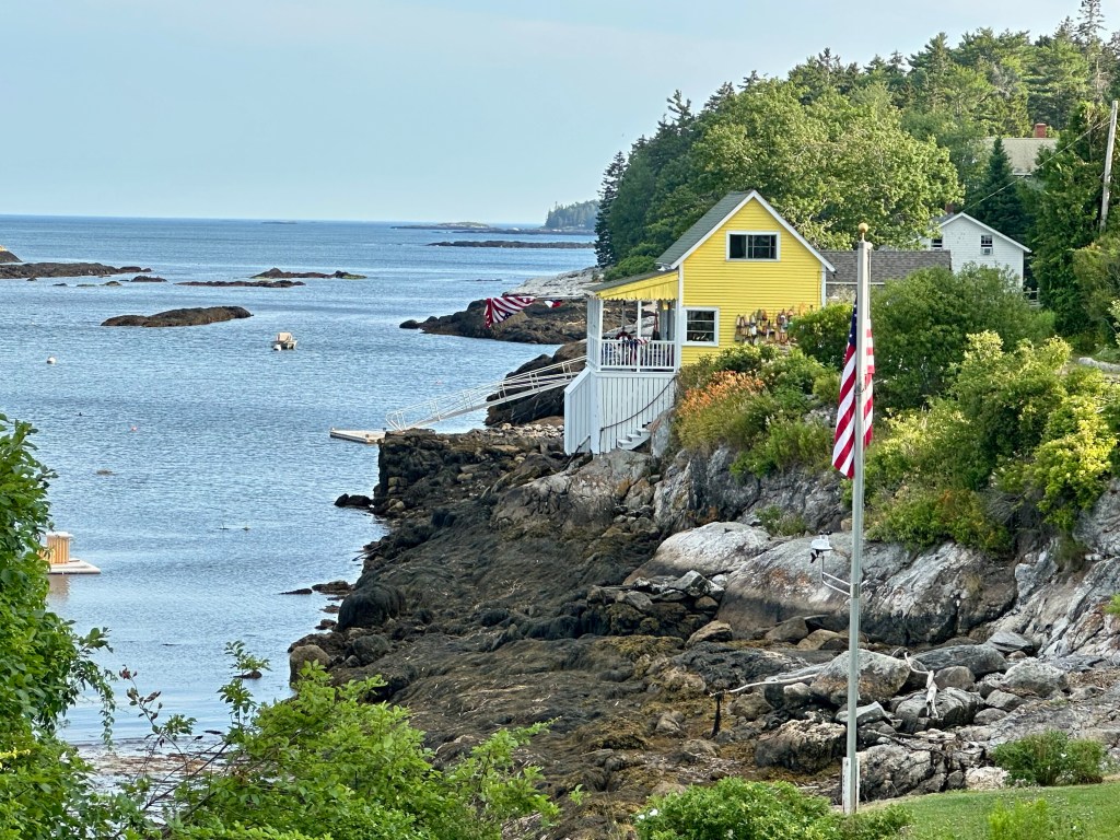
It drew me down like a moth to a porch light. I was mesmerized by the giant granite boulders that line the embankment in front of the cottage. I stepped lightly, making sure this septuagenarian didn’t allow his curiosity to override his common sense.
I explored the broadness of the sand and photographed other cottages hanging high above the temporary beach. Three hours later, the sea once again filled the bay, and the sound of the waves crashing and the cool onshore breeze ensured a night of restful, undisturbed sleep.
A cornfield with a view in rural Maine. Photo by Bruce Stambaugh
Somehow, we left New Hampshire for next-door Maine and ended up in Norway.
We left North Conway, New Hampshire, and the GPS took us on an unexpected route. We drove all country roads on the way to Maine’s capital, Augusta. We passed through one small town after another. Winding roads lined by deciduous and evergreen trees and occasional farm fields connected all the towns to one another.
We drove through Fryeburg, Lovell, Sweden, and Waterford. But we had to stop in Norway. Unlike the other burgs, welcoming storefronts lined Norway’s Main Street. It was lunchtime, so we decided to stop.
The quirky creativity of Norway, Maine.
When we exited our vehicle, music drew us eastward along Main Street. We looked for a restaurant as we went. We found the source of the music in no time. A lone musician played at the town’s weekly farmer’s market across the street.
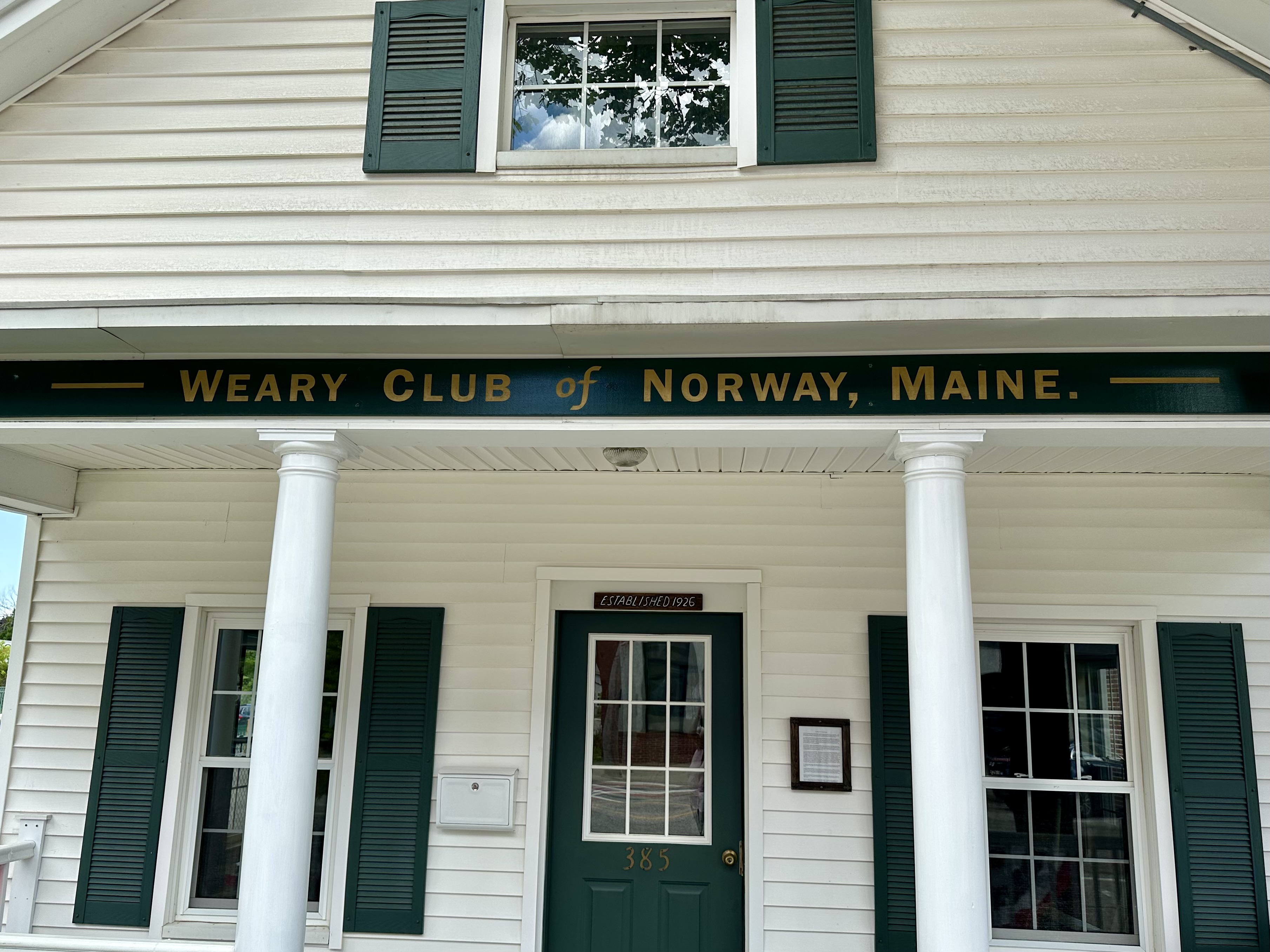
We checked it out and kept walking. The entrance to the local food coop stopped me in my tracks. Its eclectic entrance earned a photo. A few paces later, I stopped again to take a photo of the Weary Club of Norway Maine.
I had no idea what that was, and they weren’t meeting, so I looked it up. The “wearies” formed their social club 100 years ago. They were “the Shakers and Dealers in cedar shavings, social gossip, political wisdom, and Yankee philosophy.”
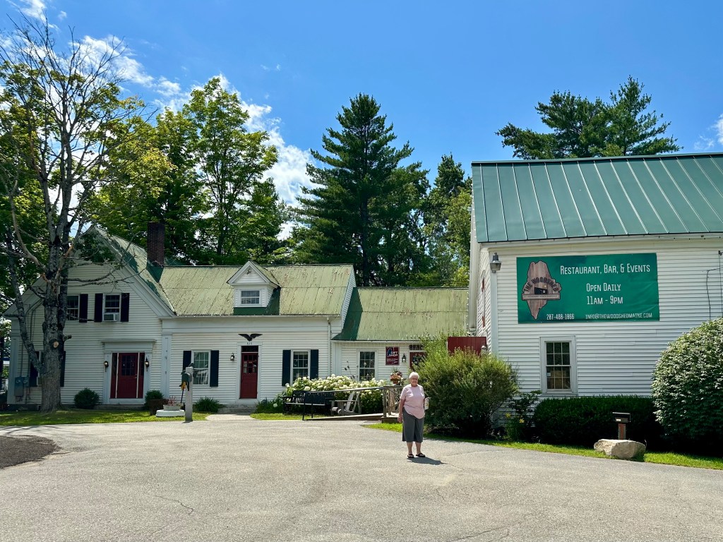
The Kennebec Cabin Company. Photo by Bruce Stambaugh
Not finding a place to eat, we kept moving over the rolling, tree-studded landscape and stopped in Manchester, Maine, at the Maine Cabin Masters gift shop and restaurant. Its official name is the Kennebec Cabin Company.
We ate outdoors in the shade to avoid the extreme heat. The house is the gift shop with the typical tourist offerings and prices.
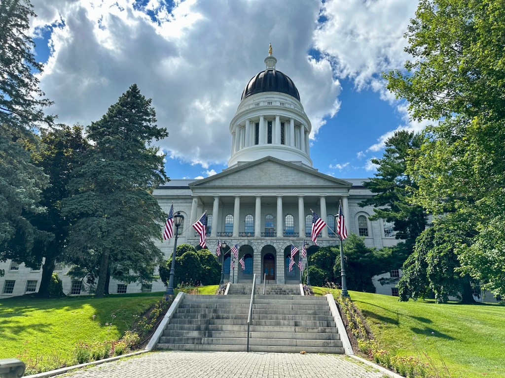
After lunch, we checked out the striking state capital building and drove to an adjacent town set on the bank of the Kennebec River for some ice cream. It was a refreshing way to end an intriguing day.
The Maine State Capitol Building. Photo by Bruce Stambaugh














You must be logged in to post a comment.