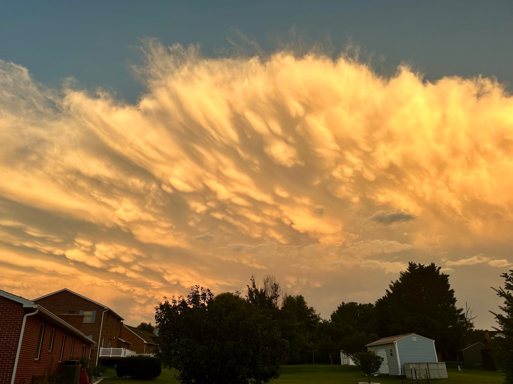
After last evening’s storm passed, I stepped out the back door to check my rain gauge when this amazing scene stopped me in my tracks.
We had yet another storm, but it clearly had intensified as it approached the Blue Ridge Mountains and Shenandoah National Park, which serve as the eastern boundary of Rockingham County, Virginia, where we live.
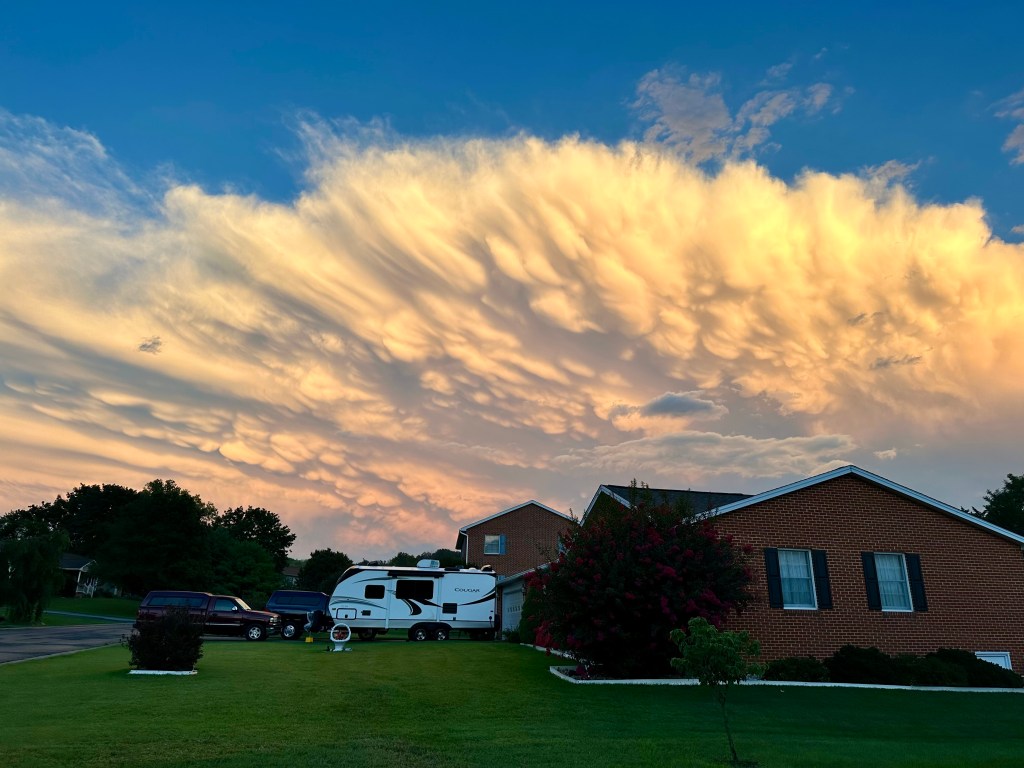
The setting sun dramatically illuminated the eastward-moving thunderstorm. The pouch-like clouds are mammatus clouds, formed when colder air aloft sinks into warmer air below.
Mammatus clouds almost always occur either at the lead of a severe thunderstorm or at the rear of the anvil-shaped thunderstorm crown. For meteorologists and those who appreciate and study clouds, spotting mammatus clouds is a rarity.
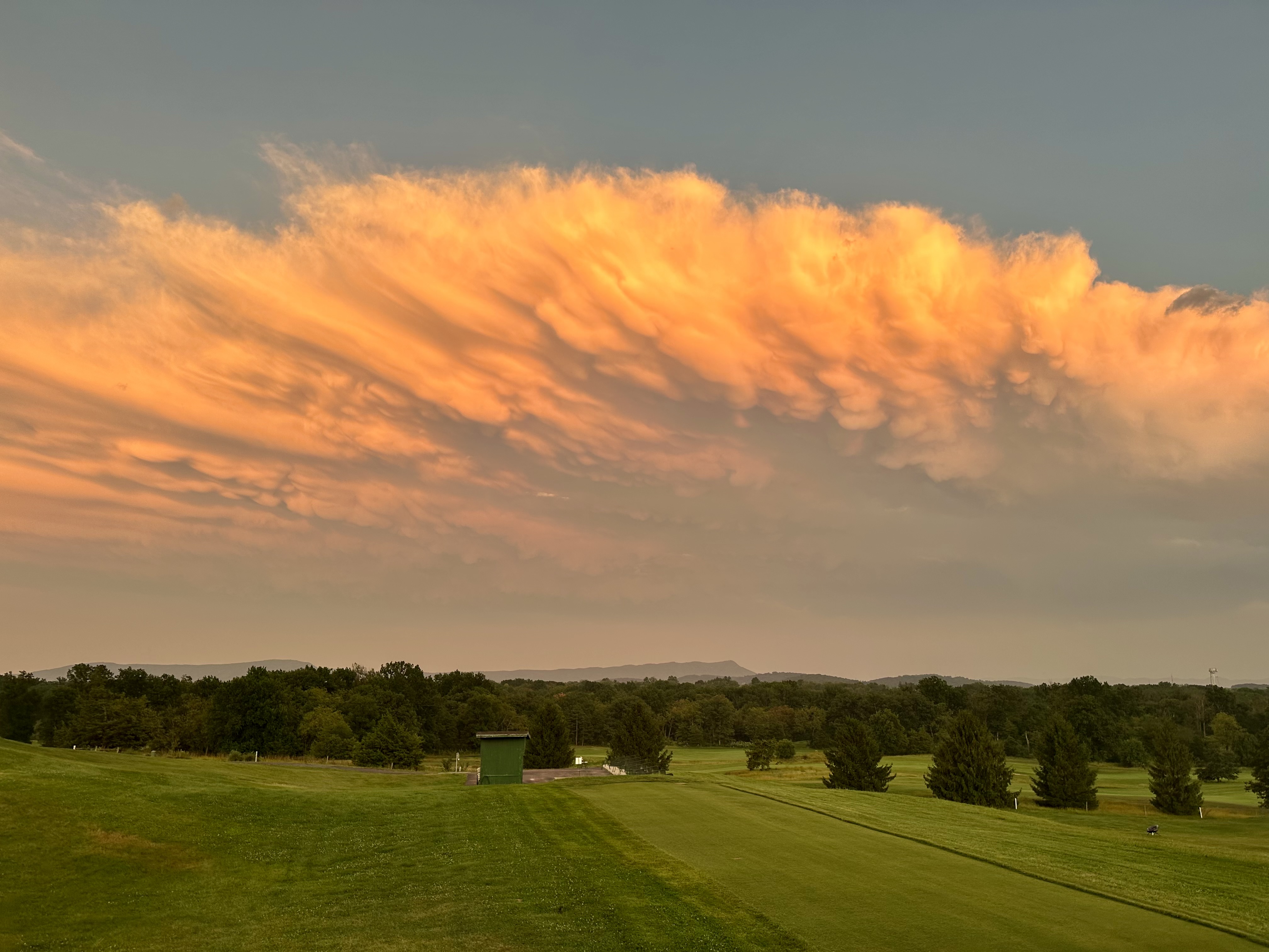
Since such clouds don’t last long, I wanted a view with a better line of sight. So, I headed to nearby Heritage Oaks Golf Course, behind an elementary school, which gave me an unobstructed view of the fast-moving storm.
As you can see, the turbulent clouds had already changed in the five minutes it took me to arrive at the golf course. Plus, the sun had set behind the Allegheny Mountains 30 miles to the west, changing the intensity and direction of its rays. Consequently, the colors of the clouds mellowed to more orange than white and yellow.
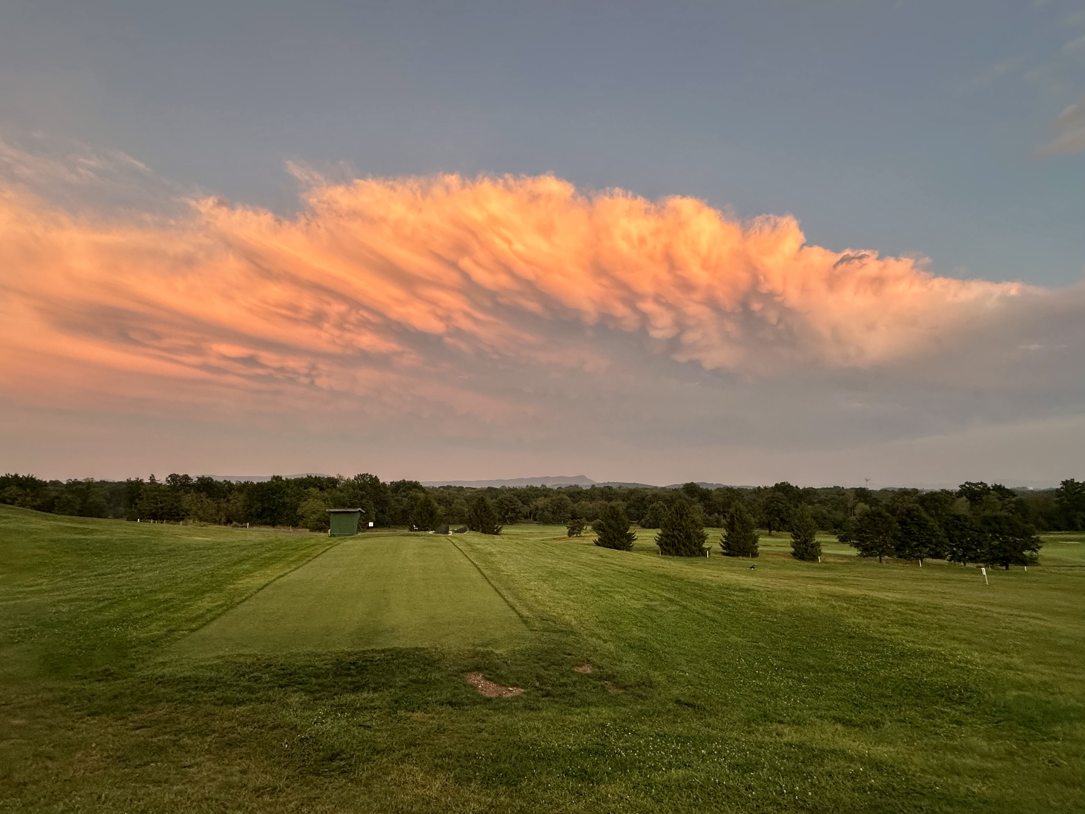
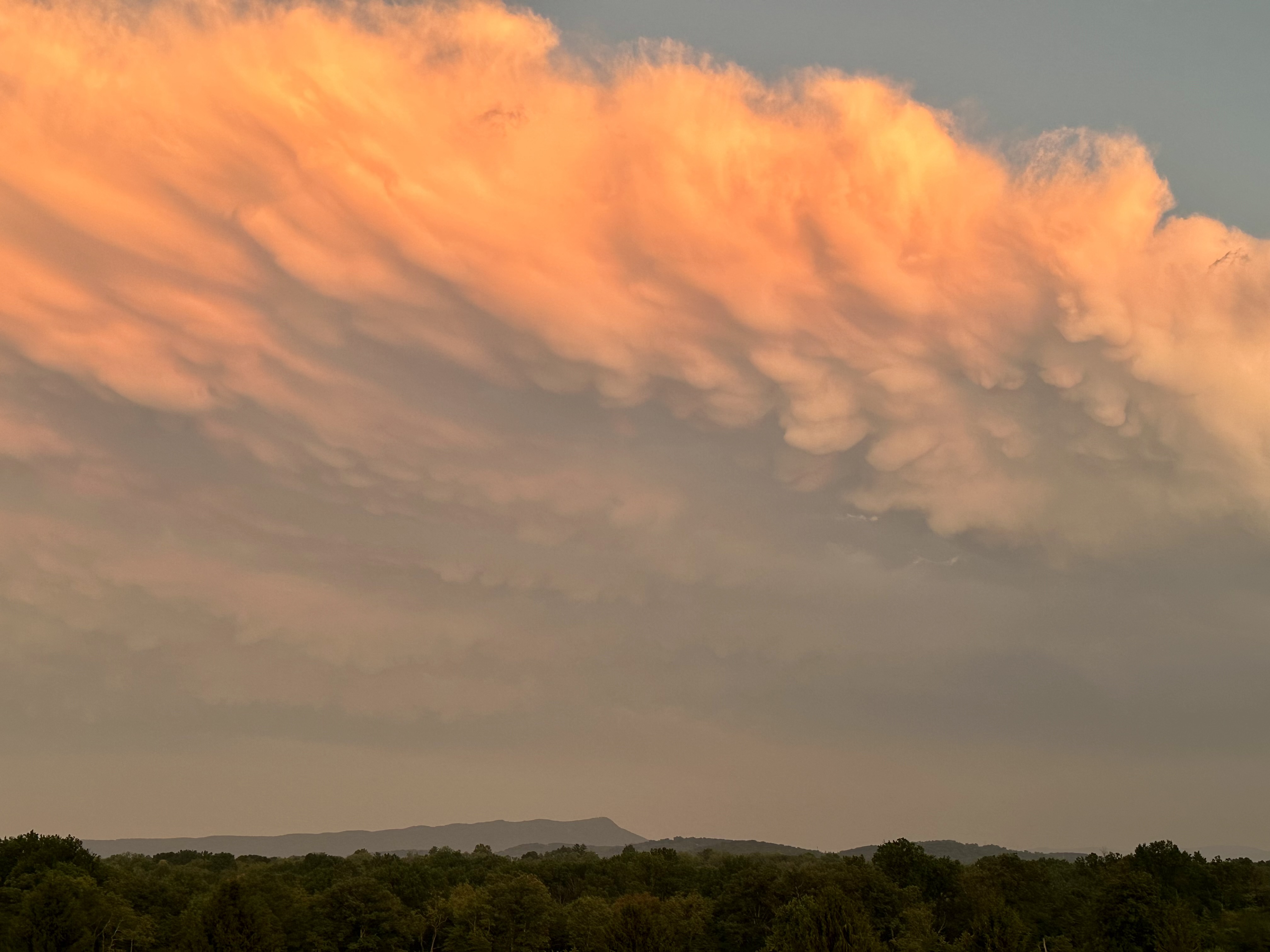
Please click on the photos to enlarge them.
Still, I was ecstatic to capture these shots, so much so that I never did check the rain gauge.
© Bruce Stambaugh 2026


1 inch over here where we live near Singers Glen. A decent rainbow occurred also. And some hail, but not that much. Great stuff towards the end of the week!
LikeLiked by 1 person
love the sky
LikeLiked by 1 person
Thank you.
LikeLike
WOW! What a cloud, and fabulous photos!
LikeLiked by 1 person
Thank you.
LikeLiked by 1 person