Shenandoah National Park

Shenandoah National Park was my next destination for leaf peeping. I had seen photos from the park on social media, so I knew the colors were peaking.
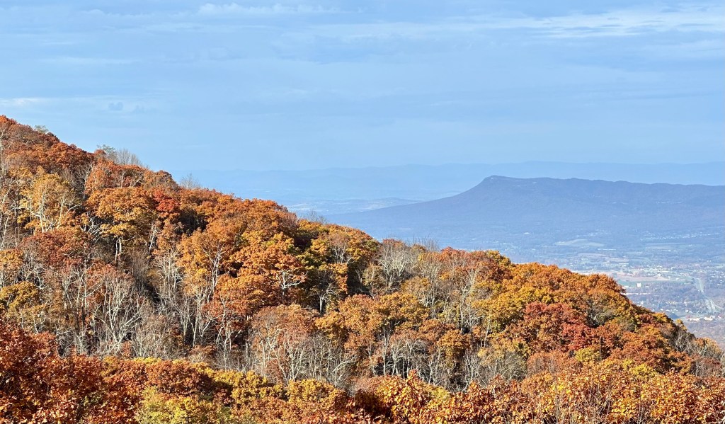
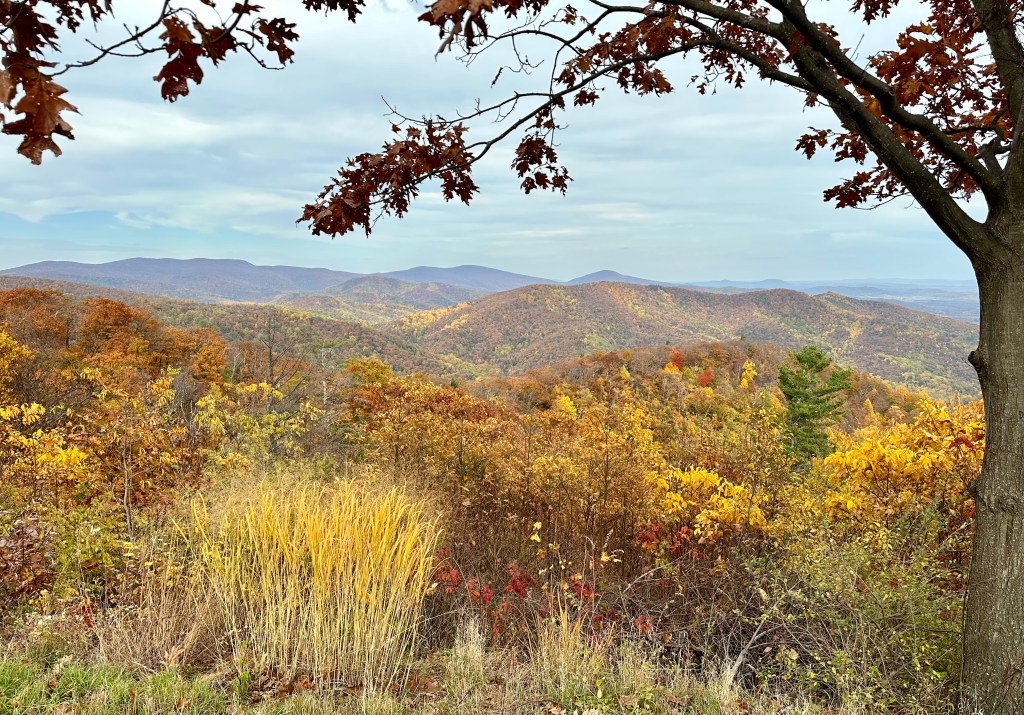
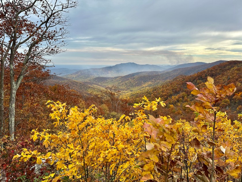
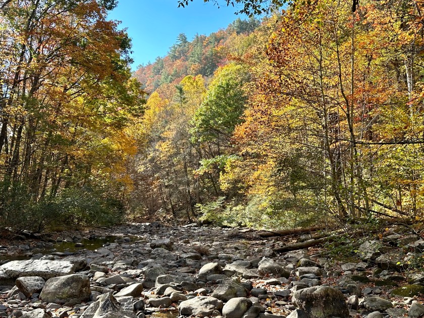
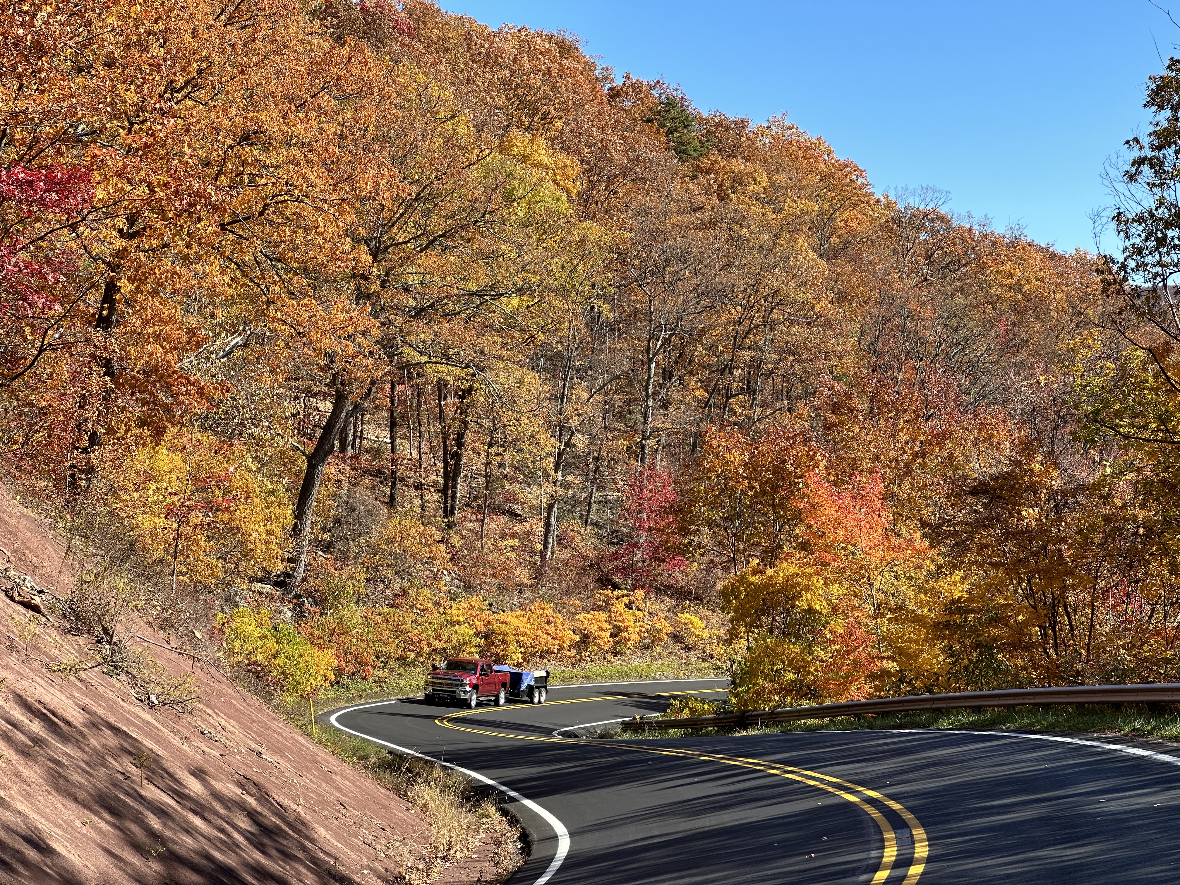
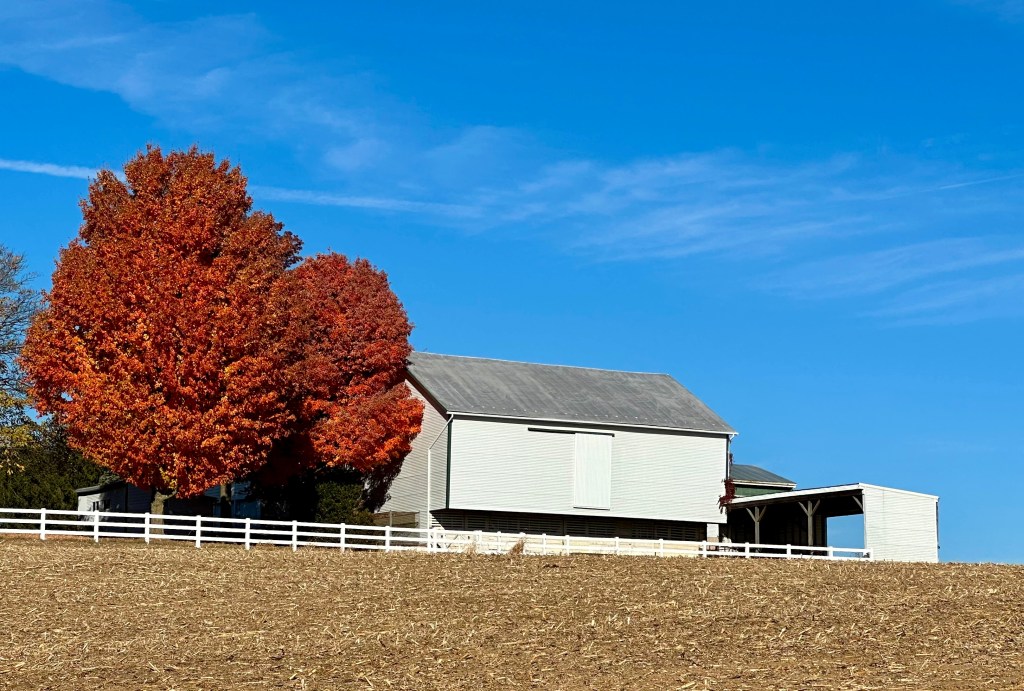
The day was promising, with bright sunshine and only a few clouds. I was anxious to get to Shenandoah National Park before the crowds arrived. I entered at the Swift Run Gap station and headed north to the central part of the park. After only minutes on Skyline Drive, I found a beautiful scene, shown above. The sun was just reaching over the top of the Blue Ridge Mountains, backlighting the treetops.
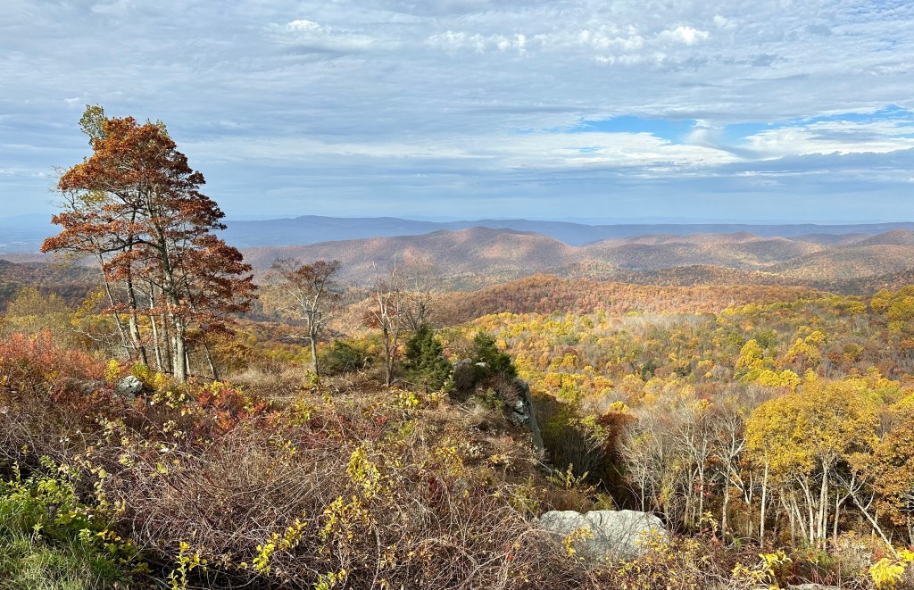
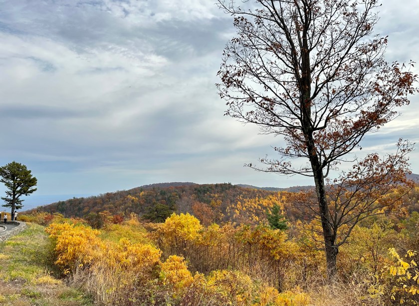
I stopped at three west-facing overlooks for some more photos. The colors were nice, but I saw a bank of clouds sailing over the Shenandoah Valley toward the park. I hoped they would dissipate.


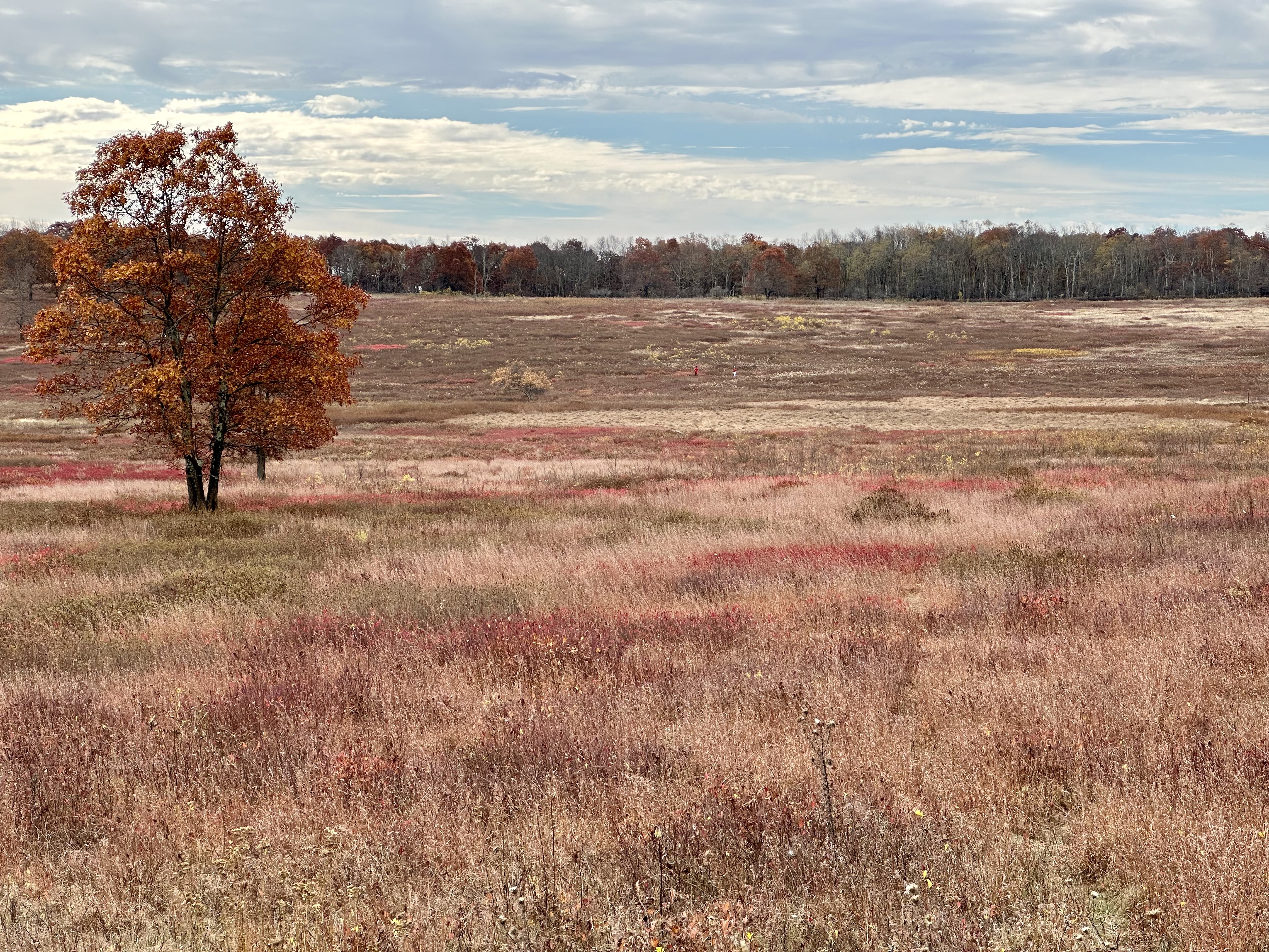
I pushed on, stopping at other pull-outs before parking at Big Meadows to photograph the deep ambers, browns, and russets of the foliage that fills the bowl-shaped meadow. The clouds arrived, unfortunately, but the colors still seemed vibrant without the sun’s assistance.


Please click on the photos to enlarge them.
I stopped at Franklin Cliffs overlook to enjoy the view and eat a light lunch while perched atop the sheer cliff. A Common Raven called and sailed back and forth on the air currents only yards in front of me. Why is it that common snacks taste even better while you are enjoying nature’s many gifts?
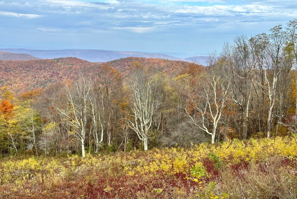
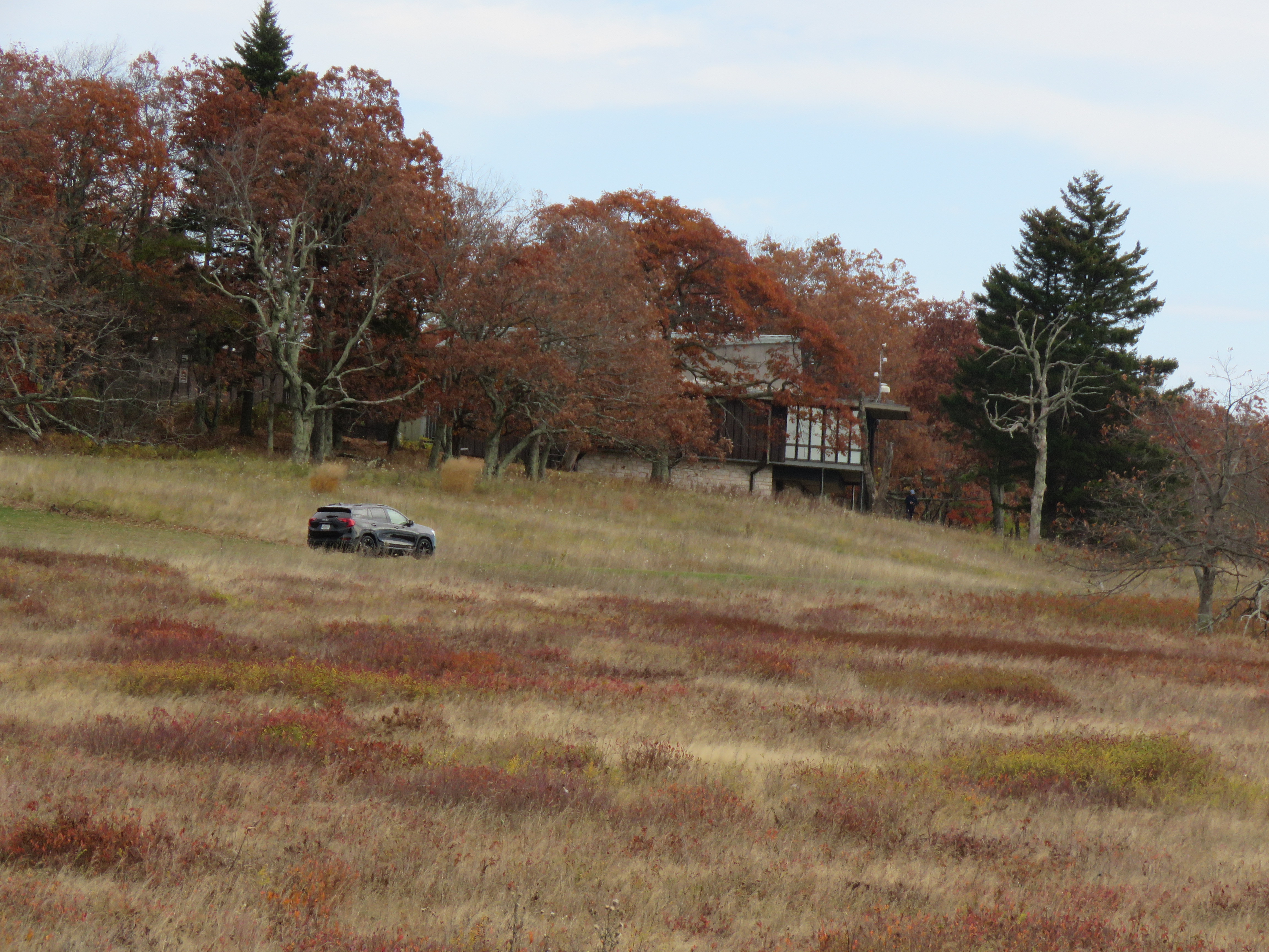
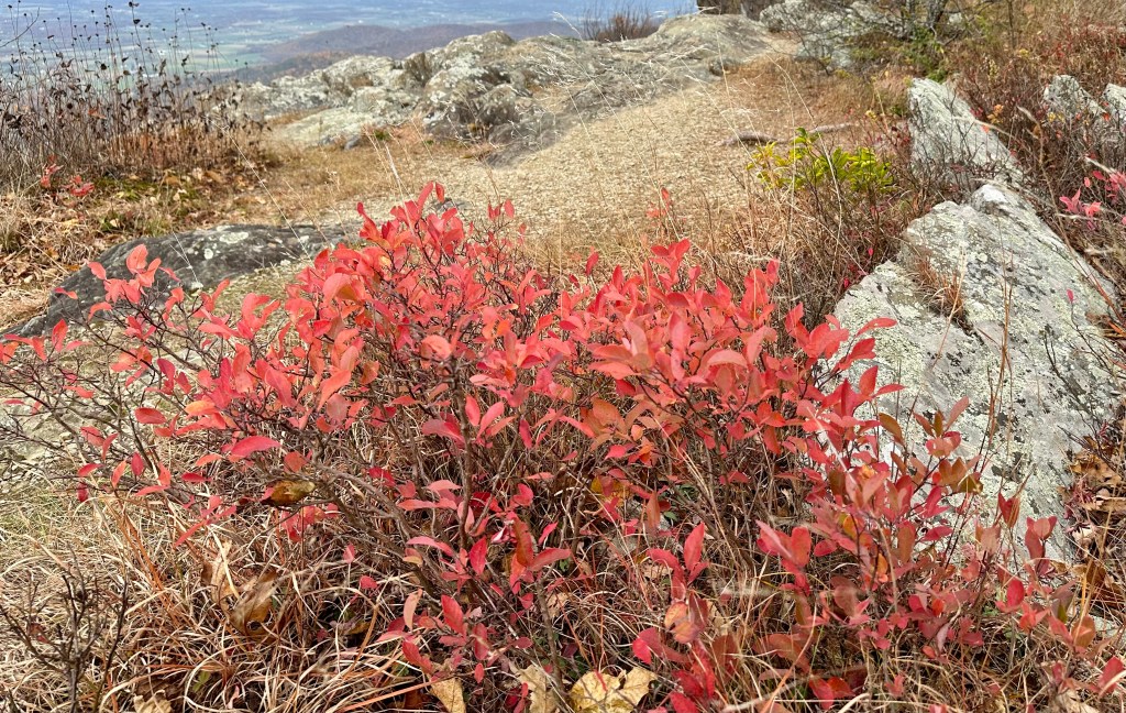
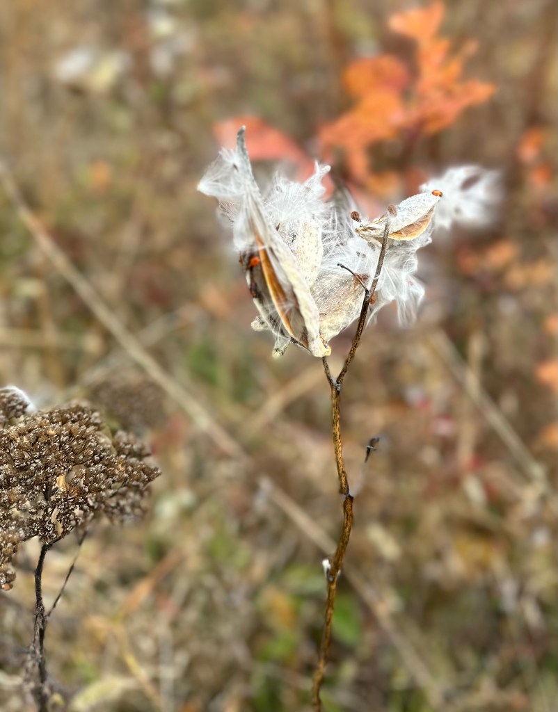
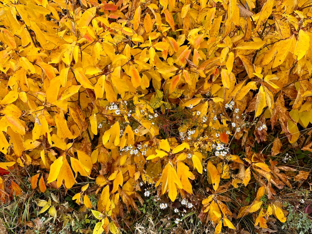
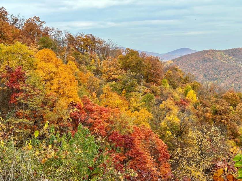
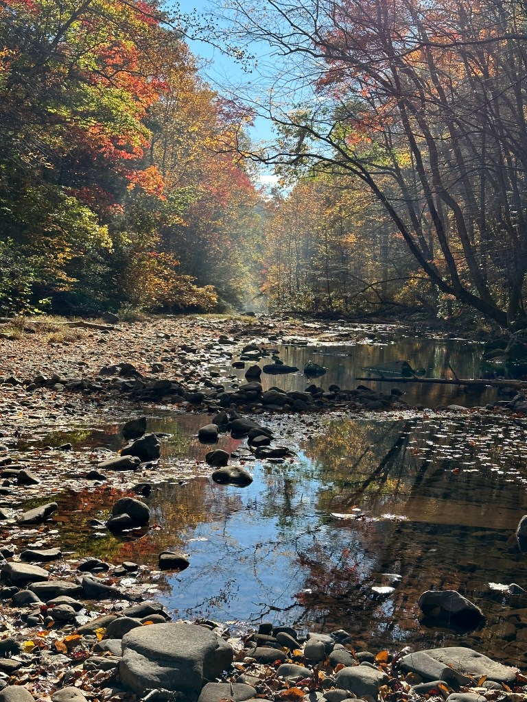
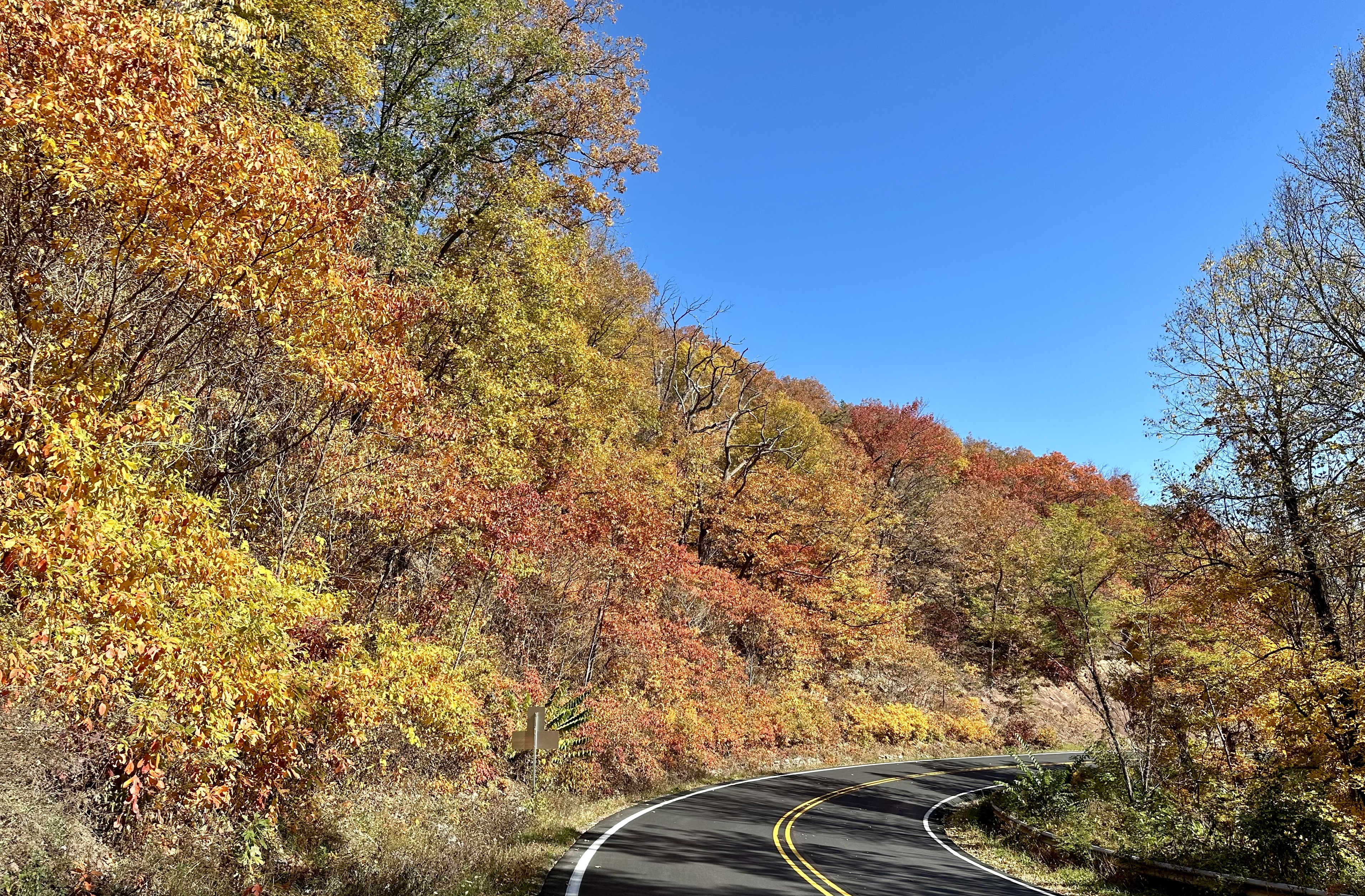
I continued driving north, pulling into one overlook after the other. I also walked a few trails, looking for more intimate shots. The sumac and blueberry leaves were aflame, the sassafras deep golden, and the raspberry leaves variegated red and green. Late-blooming wildflowers somehow grew among them. Even the grasses joined in the color carnival.


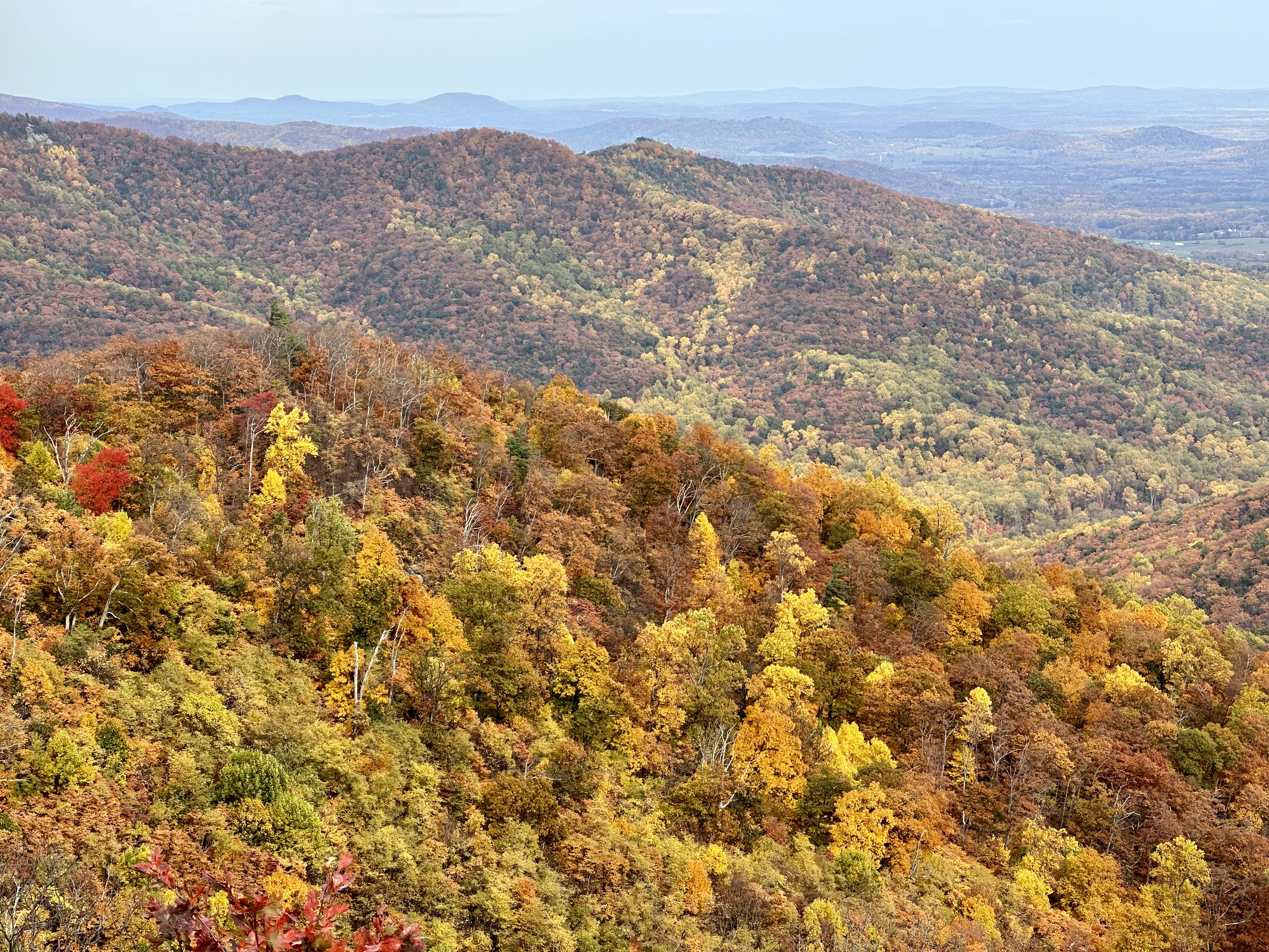
At the Old Rag overlook, the landscape looked more like a painting than reality, even with gray skies. I could have stayed there the rest of the day. But I pushed on, driving through yellow tunnels of hickory and tulip poplar trees.
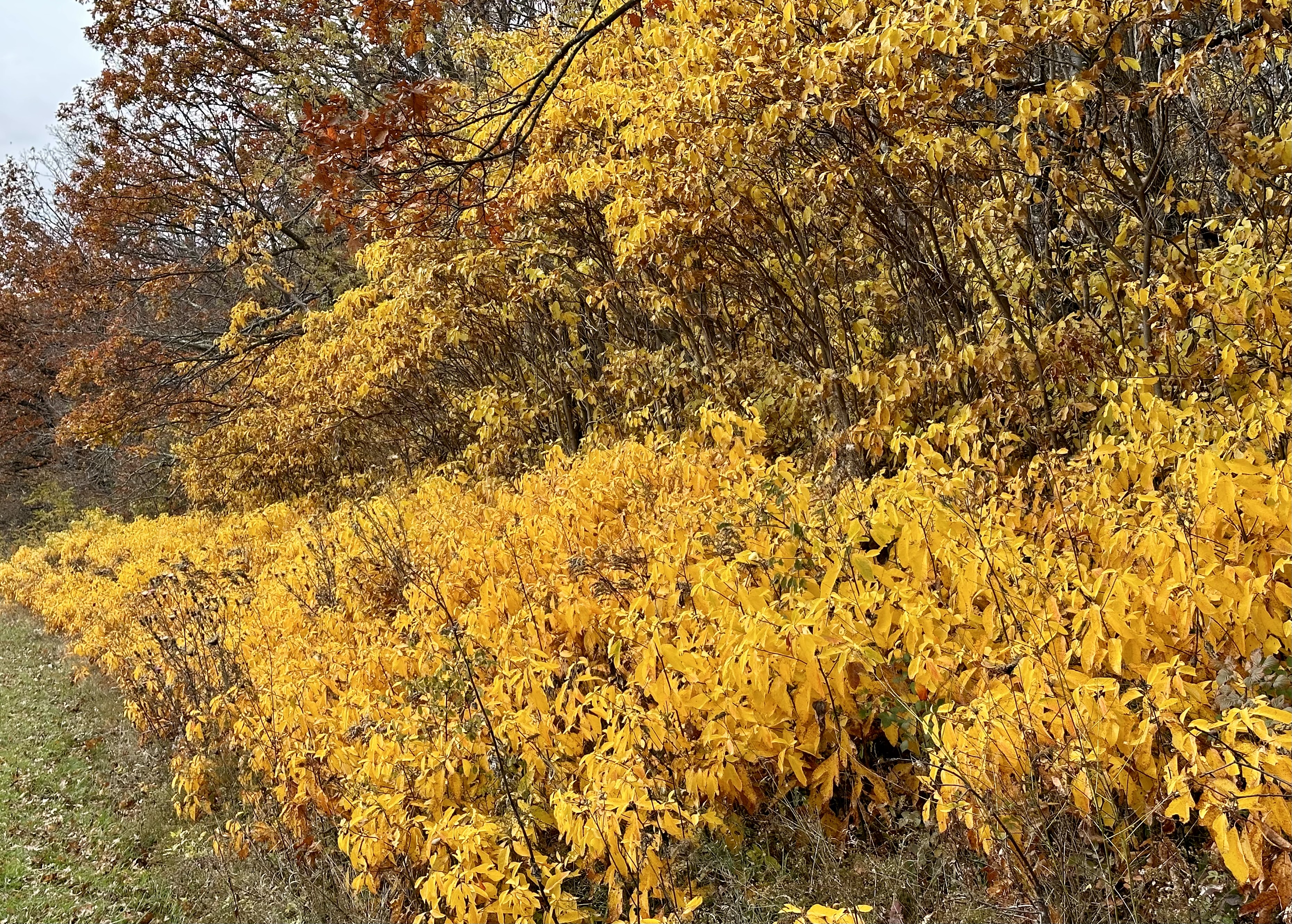
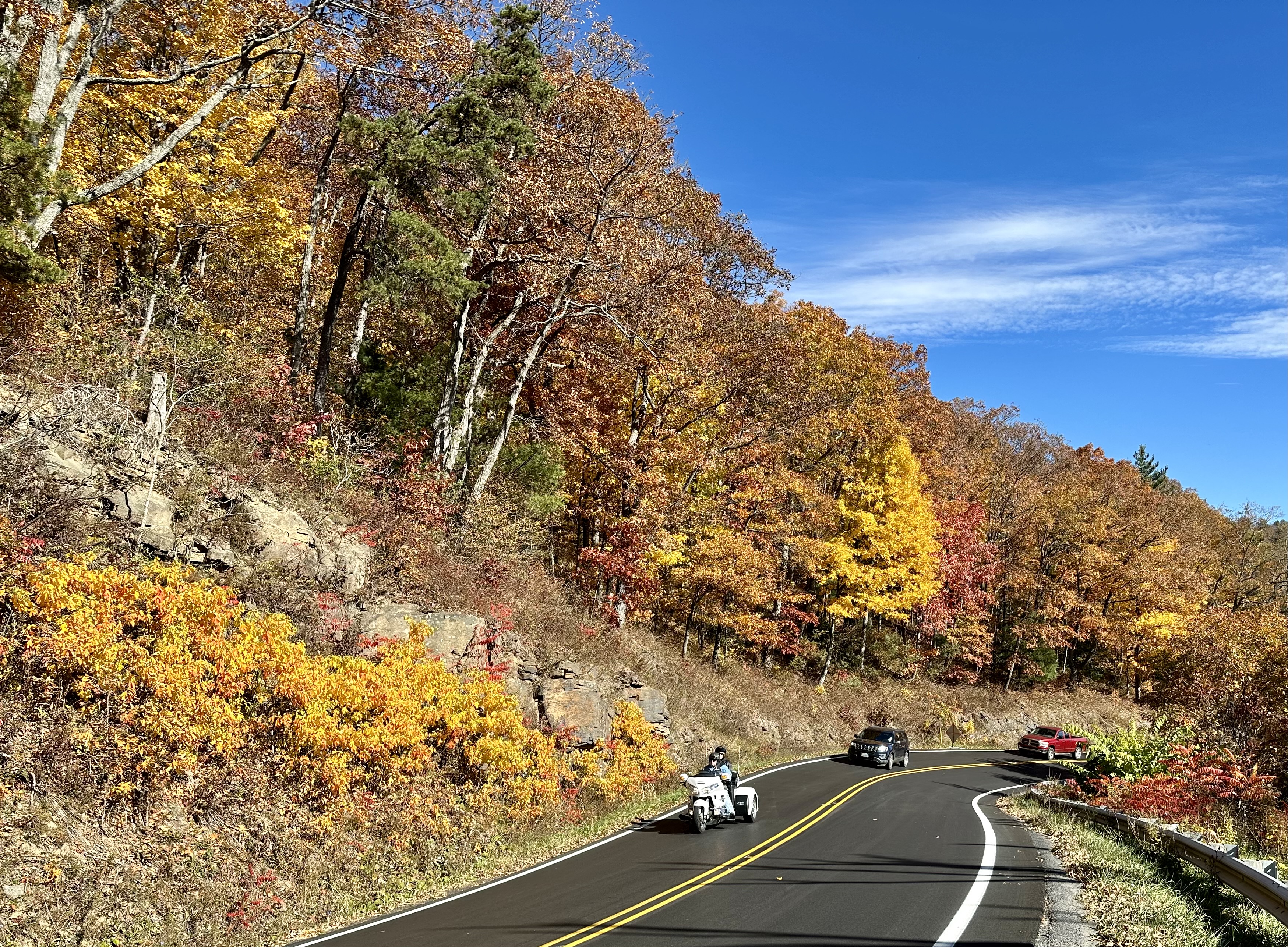
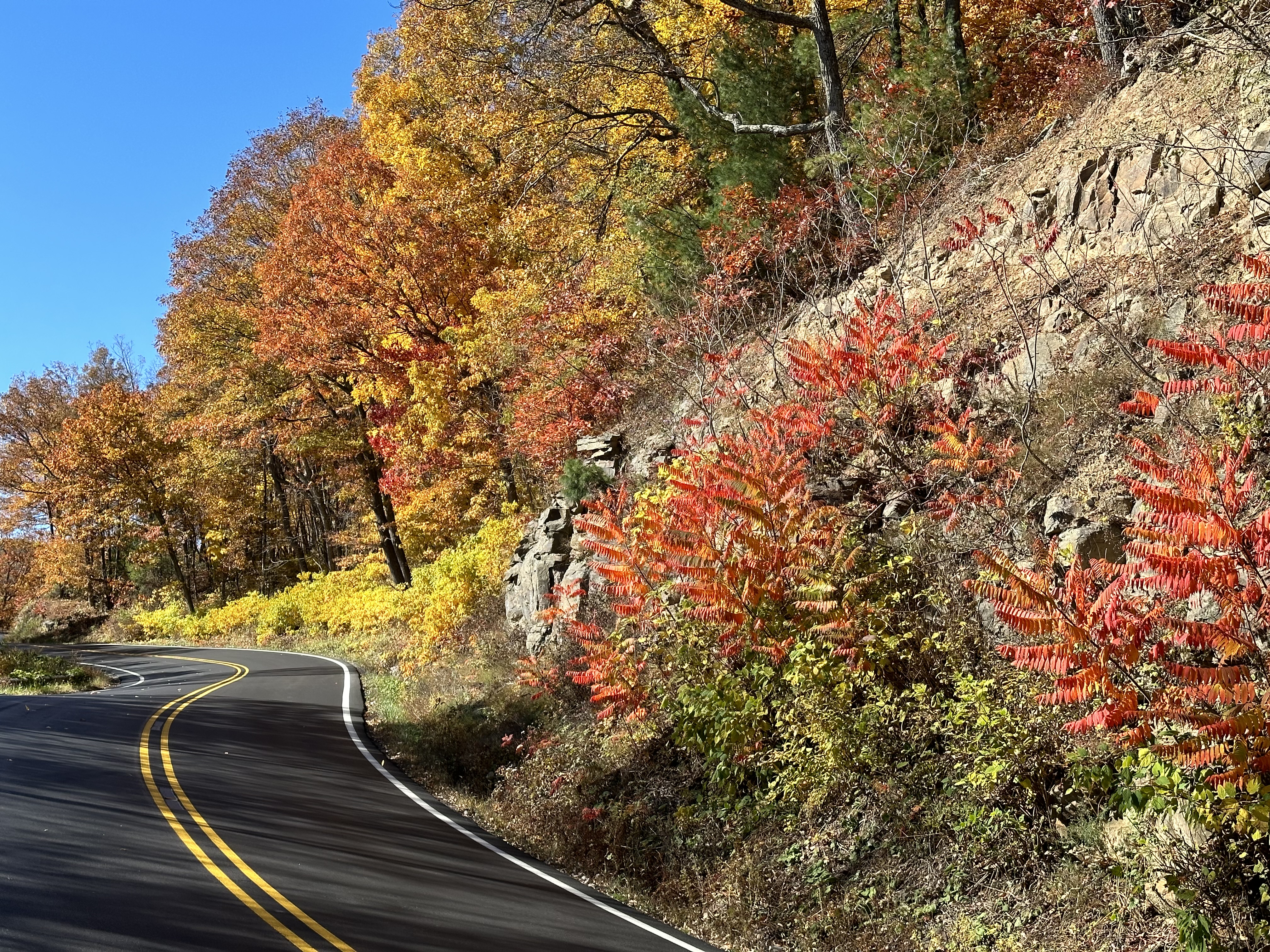
Groups of Sumac grace Skyline Drive like crimson guardrails. Vivid golden streaks ran down the tips of mountain ridges as if someone had painted yellow stripes.


Please click on the photos to enlarge them.
As I neared my exit point of Thornton Gap station, I got my first look at the wildfire lapping the park’s eastern edge. Firefighters from several agencies were working to contain the flames. Smoke trailed north, filling the runs and hollows below. As of this writing, the fire had burned 1,900 acres, including several hundred inside park boundaries.


By now, I had spent nearly six hours in the park. The overlooks were overflowing with global visitors. It was time to head home.
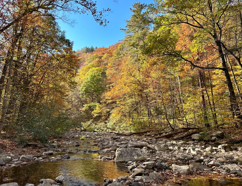
I made one detour to Storybook Trail on Massenutten Mountain at New Market Gap. I wanted to capture the mountainside, the valley, and the Blue Ridge Mountains all in one color photo.
I arrived home in time for supper, and then it was off to a women’s volleyball game at Eastern Mennonite University. It was a good way to unwind from an invigorating day in Shenandoah National Park.

© Bruce Stambaugh 2023


You must be logged in to post a comment.