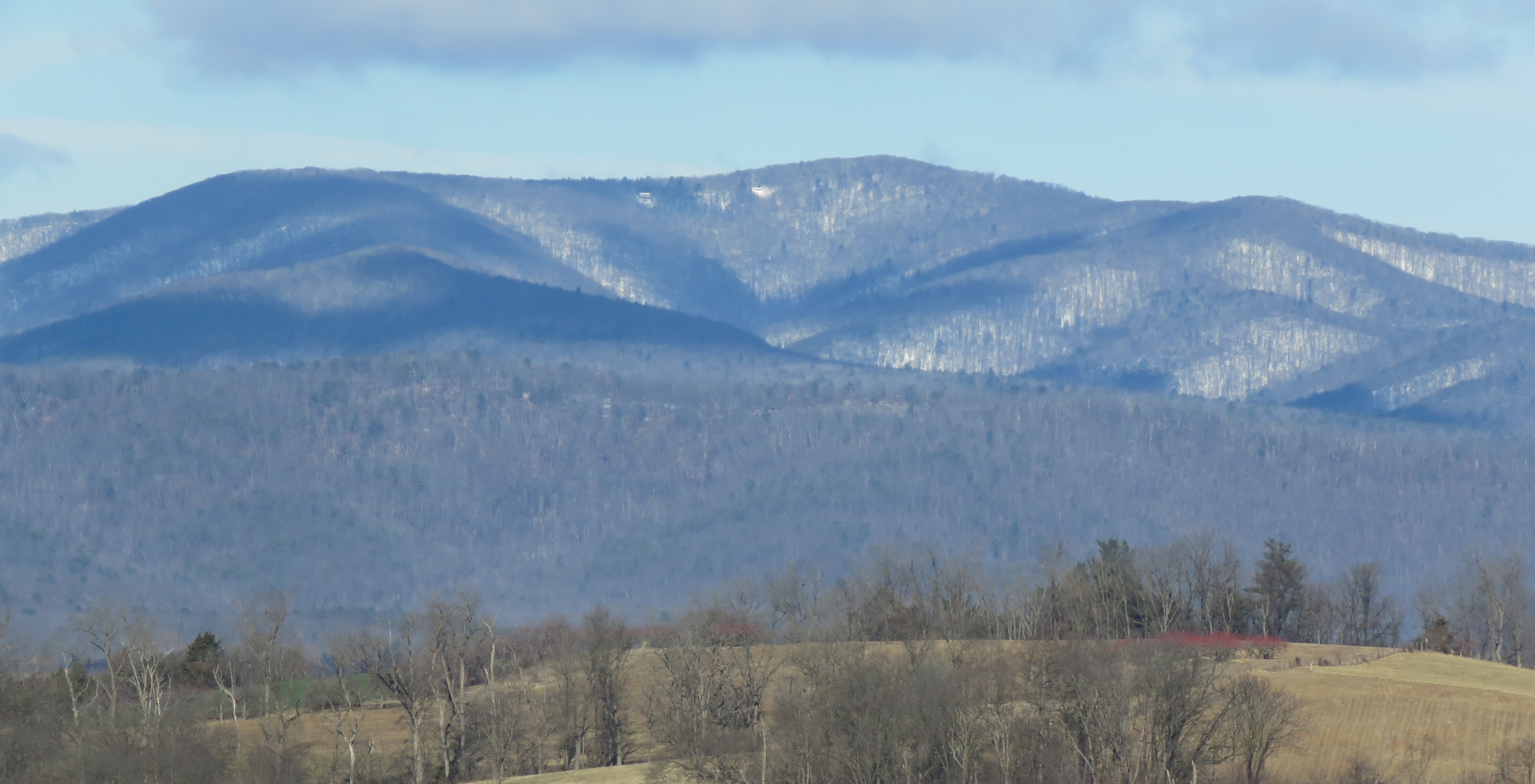
On Shenandoah Mountain, a miles’ long ridge that marks the boundary between Virginia and West Virginia, the snow glistened in the bright sunshine of a recent morning.
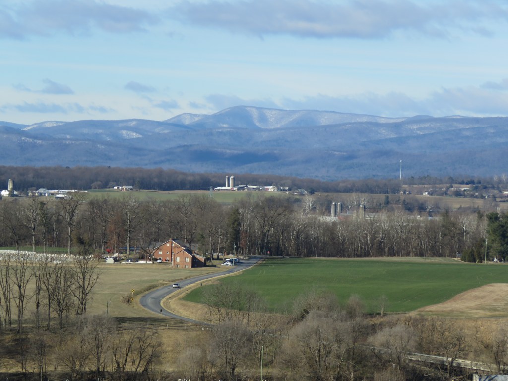
Far below, a majority of the snow cover in Rockingham County in Virginia’s Shenandoah Valley had melted into the moisture-starved landscape. A few days later, it snowed again.
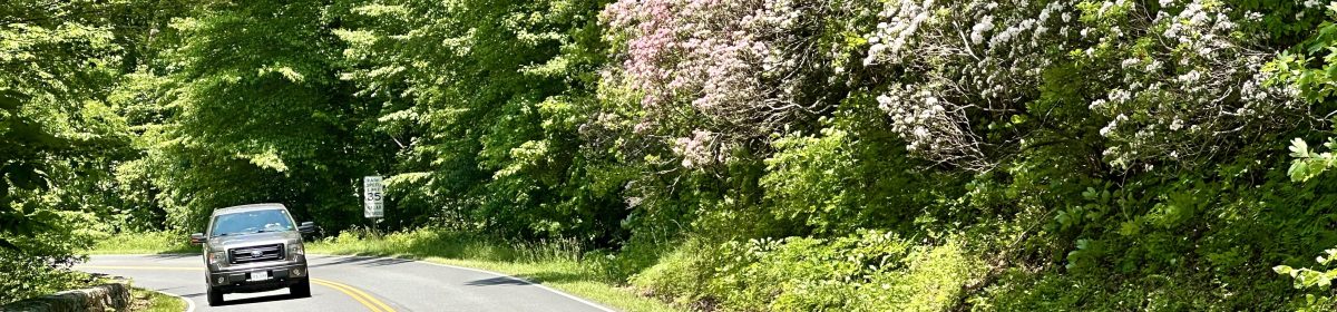
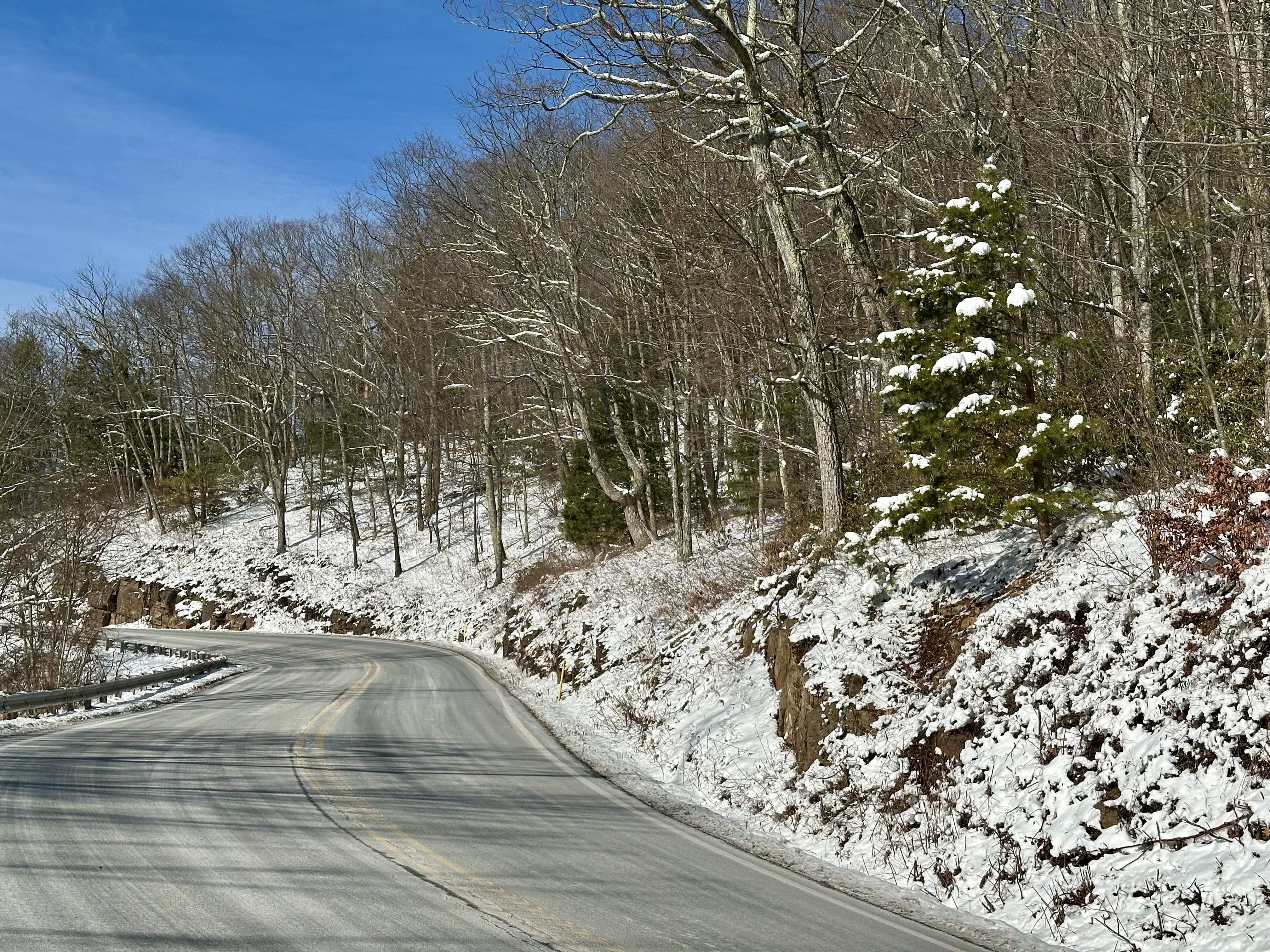
In the eight and a half years my wife and I have lived here, the serene winter scenery has drawn my admiration. Too often, though, snow still clung to the winding, switchback road to Shenandoah’s summit. So, I admired from a distance.
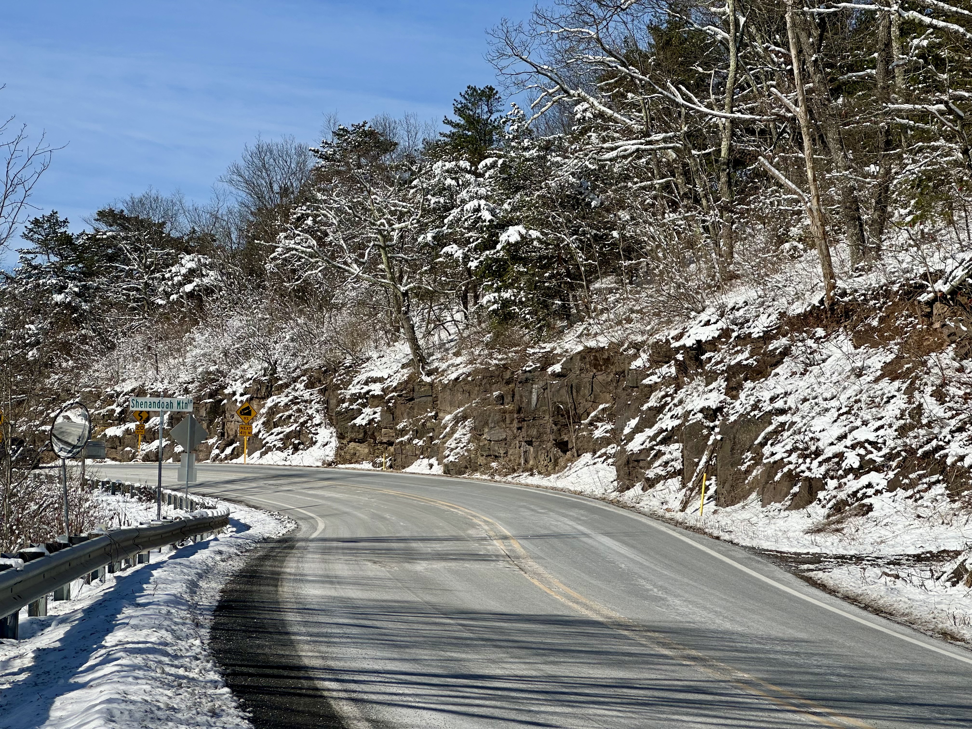
However, I took advantage of the glorious day and ventured out, hoping that days after the heavy snow fell, US 33 would be bone dry all the way to the West Virginia line. That’s just the way I found it.
Please click on the photos to enlarge them.
Shenandoah Mountain is a much-revered landmark to locals on either side of the famed mountain. The mountain is actually an entire range that runs southwest to northeast for 73 miles. The undulating ridge ranges from 3,500 to 4,397 feet in altitude at Elliott Knob.
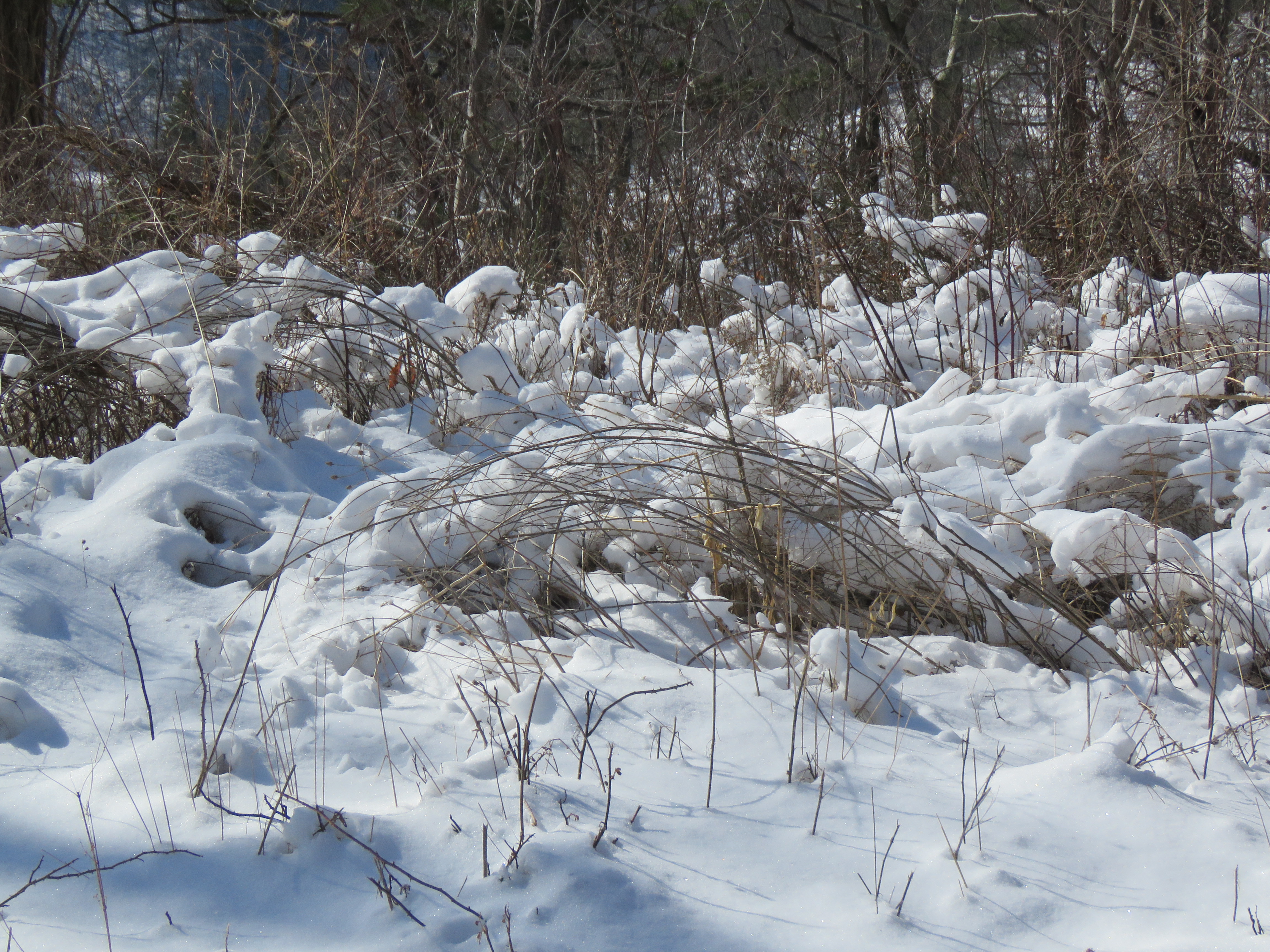
Not to be confused with Shenandoah National Park at the eastern end of Rockingham County, Shenandoah Mountain serves as the eastern front of the Appalachian Mountains. It is a substantial part of the George Washington National Forest in both Virginia and West Virginia. Its extensive biodiversity includes alpine vegetation, flowers, and wildlife, which attract hikers and birders from afar.
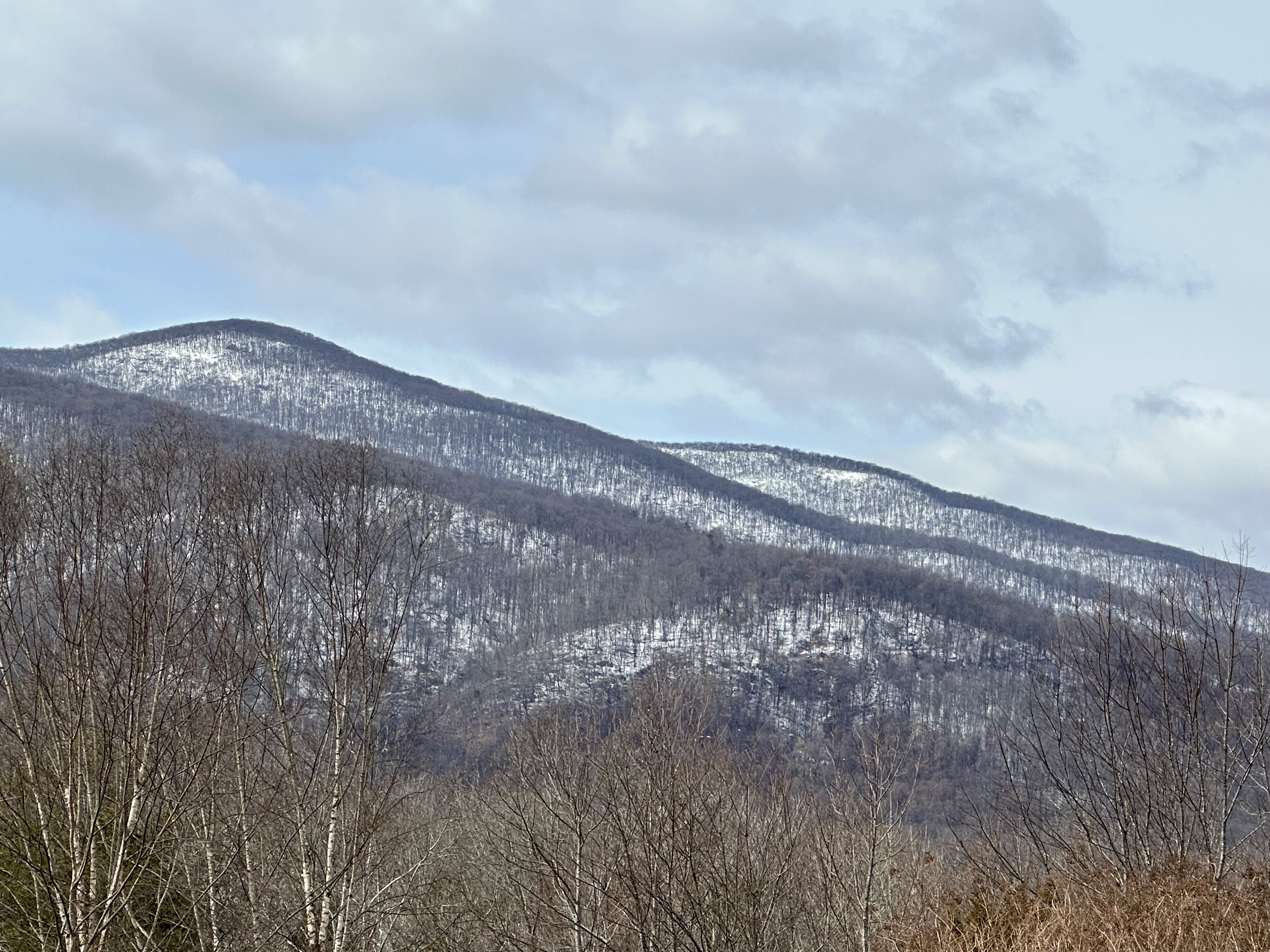
In the wintertime, I marvel at the contrast between the snow and the charcoal-colored stands of forest, dotted occasionally by the dark green of tall, twisted pines. The storied mountain draws me like a magnet.
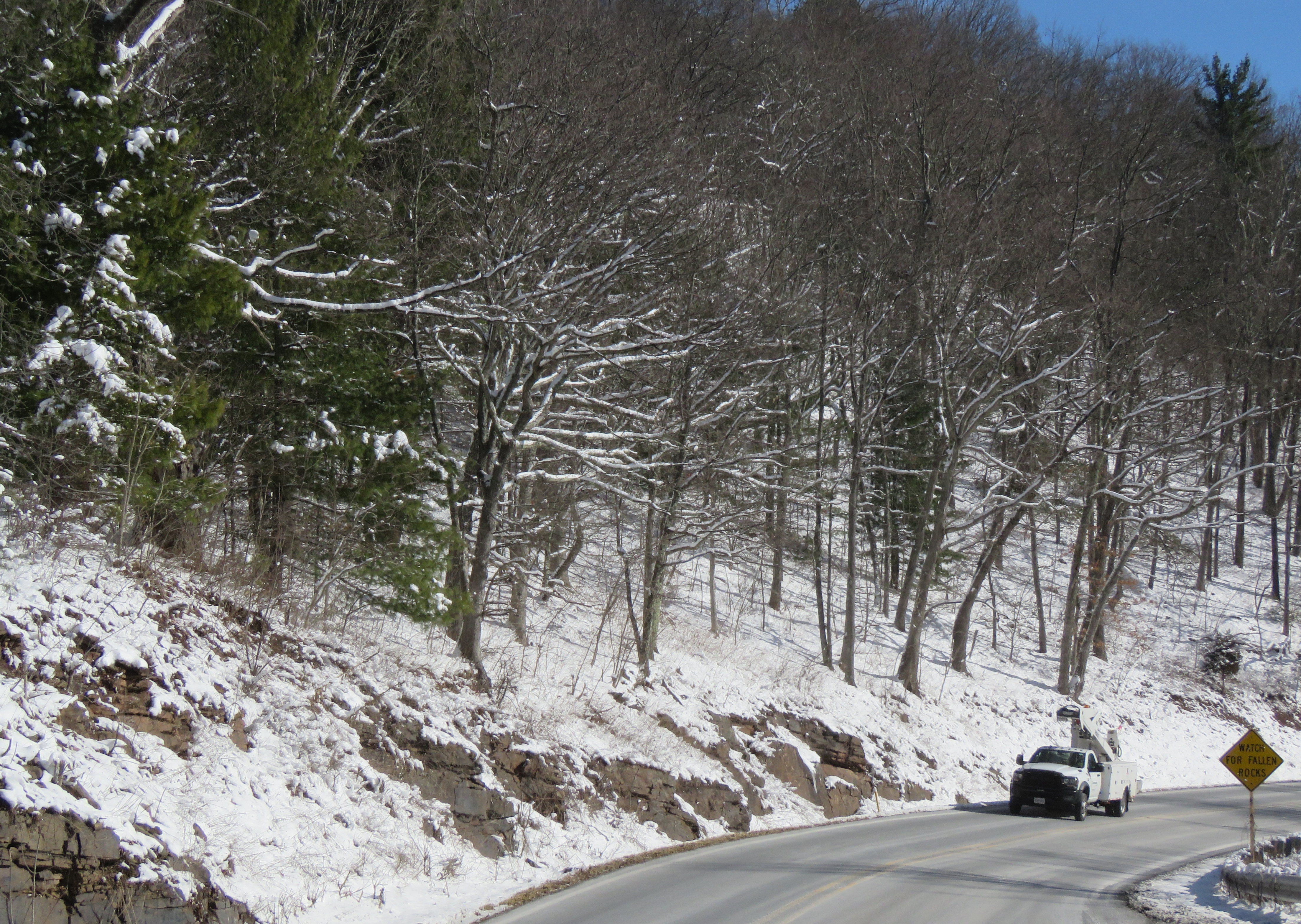
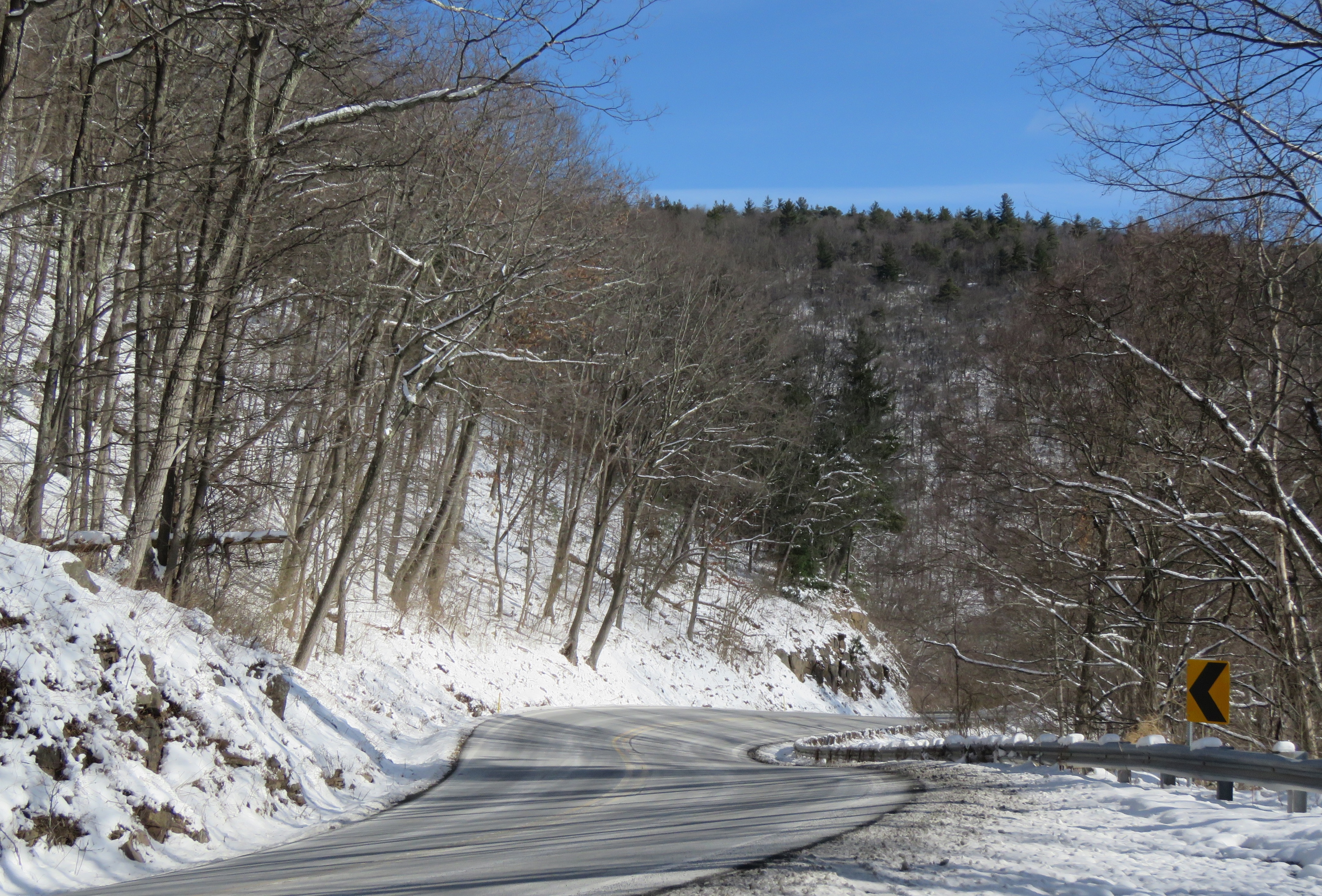
As I drove up the curvy highway, the snow depth increased as I climbed higher and higher. I noted safe places to pull off for photos on the way back down. Though the sun shone brightly, the wind blew steadily. It was 29 degrees when I started the climb, and 19 at the peak. I was surprised that the wind rustling through the bare trees made the only sound I heard.
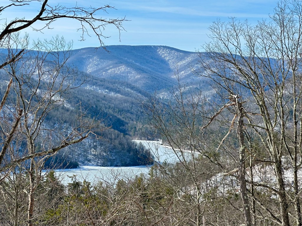
I expected more snow as I looked at the multiple mountain ranges of the Appalachians in the Mountain State’s interior. But apparently, this latest storm dumped an upslope snow, meaning most of the snow fell on the western slopes of the mountains as the winds blew eastward.
On the way back down to the valley, I stopped a few times where the state had made short breaks in the guardrails. At those spots, I pulled my vehicle completely off the road to capture a few photos. One man even slowed, lowered his window, and asked if I needed help. I thanked him and assured him I was fine.
Surrounded by all this beauty and quietude, how could I be otherwise?
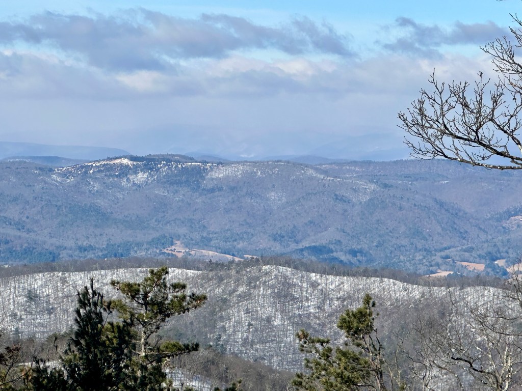
Photo by Bruce Stambaugh
© Bruce Stambaugh 2026

that’s so beautiful
LikeLiked by 1 person
Great photos and explanations.
LikeLiked by 1 person
Thank you.
LikeLike
Beautiful photos of some very nice scenes and a sensational blast from the past. I lived in Athens, Ohio, in the late 80s and early 90s, and part of that time on US 33, and once made a road trip home from Washington DC sticking to Route 33, beginning near Richmond. My only regret is that I didn’t make more stops. Thanks for making me fish out some of these memories.
LikeLiked by 1 person
Thanks, Bob. That had to be a long drive. 🙂
LikeLike
Pretty Appalachian winter scenes!
LikeLiked by 1 person
Thanks, Denise.
LikeLike